Skip to content
OlaSailSearch

Where to sail, moor and anchor in Croatia

OlaSail is an independent guide to sailing in Croatia: where to sail, moor and anchor. Every marina, town quay (a town's public harbour wall) and buoy field we cover shows where each fact came from and the date we checked it.

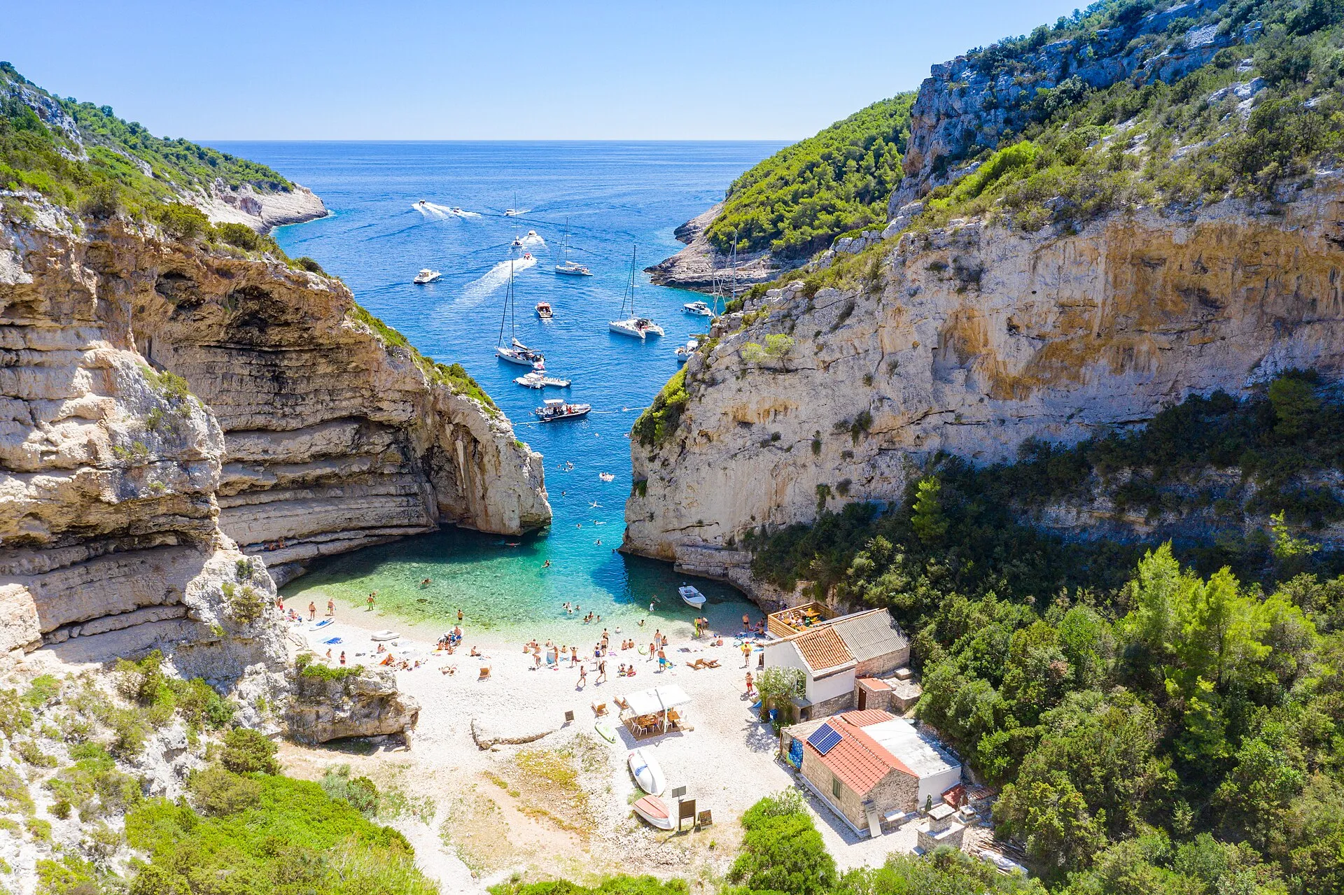
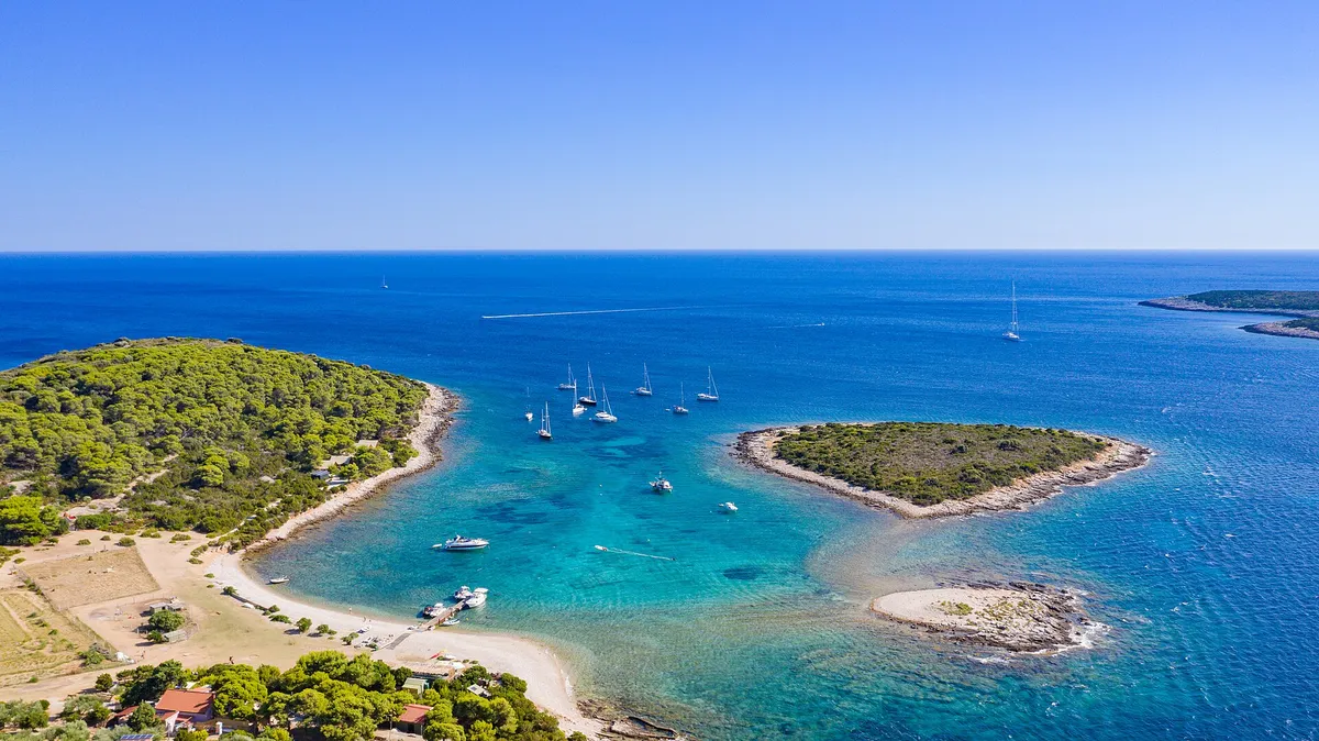
Sailing yachts anchored off the mouth of Stiniva cove, aerial with open sea and horizonPhoto: “Aerial view of the Adriatic Sea at Stiniva Bay on Vis island in Croatia” by dronepicr, CC BY 2.0, resized
Marina berth, Maslinica€135a day in July 2026, 12 m boat, plus €10 water and powerSource checked: (From the operator, )

Sailing itineraries from Split and Trogir

Day by day, with where to sleep, what a night costs and what to do when the wind turns. Every distance is measured along the line, and every night's price comes with its source.

All routes
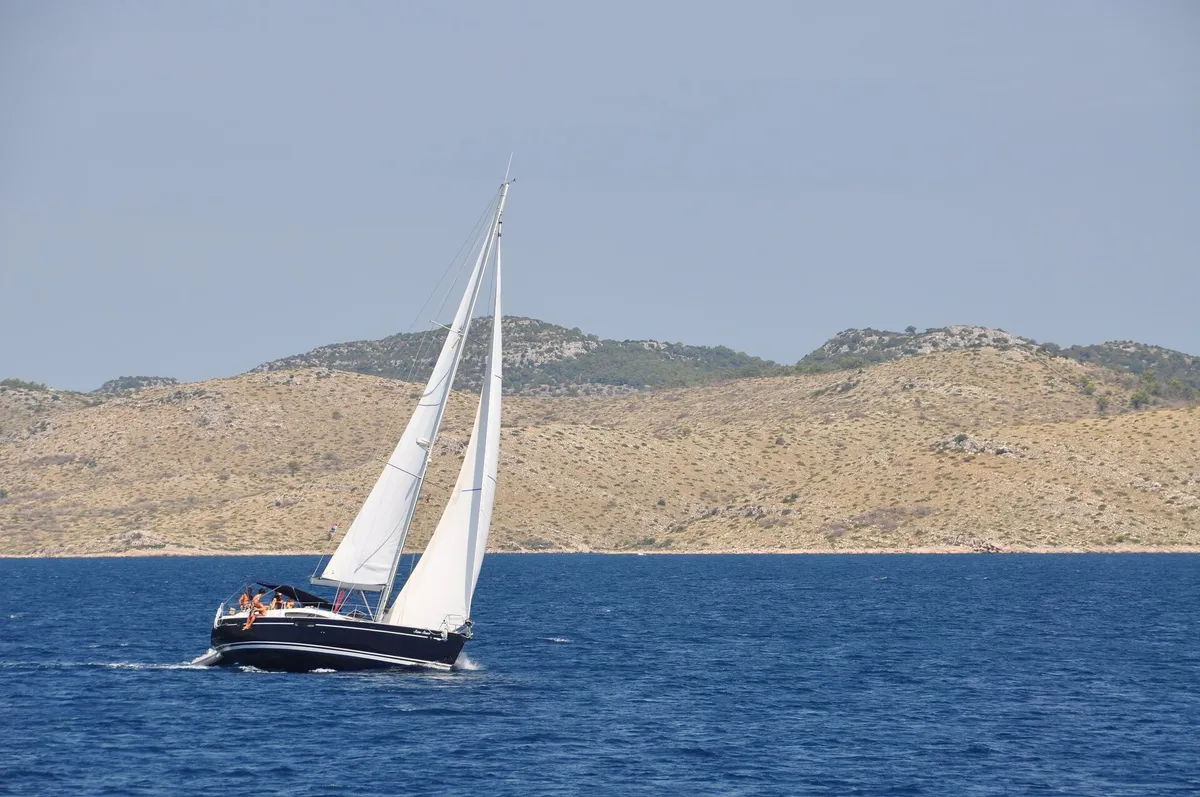
Sailing yacht under full main and genoa on deep blue water, bare Kornati hills behindIntermediate

Seven days from Split

Šolta, Vis island, Pakleni Islands, Hvar and Brač
123 NMin 7 days (Measured by us, )
28 NMlongest day (Measured by us, )
7 nights4 marinas, 3 town quays

A Saturday to Saturday charter week out to Vis and back through the Pakleni Islands, Hvar and Brač, with a price, a source and a Plan B for every night.

See the seven days from Split

Swim and lunch stops on a week from Split

Not for navigation
Map of the seven-day Split routeSSplit1Maslinica2Vis town3Komiža4Palmižana5Stari Grad6Milna
Not for navigation
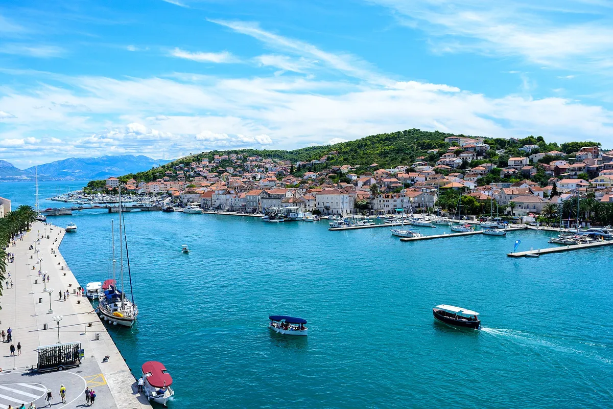
The Trogir channel from the Kamerlengo fortress, with a yacht on the Riva quay, water taxis crossing and the marina pontoons on the Čiovo shore where ACI Marina Trogir lies.First week

An easy first week from Trogir

Trogir, Šolta, Brač and Split
62 NMin 7 days (Measured by us, )
14 NMlongest day (Measured by us, )
7 nights4 marinas, 3 town quays

Short hops of 3 to 14 NM between Trogir, Šolta and Brač, with land close by all week, for a first charter or a young crew. You tie up by mid-afternoon.

See the easy first week
Map of the first week routeSTrogir1Drvenik Veli2Maslinica3Milna4Bobovišća56NečujamMap of the first week routeSTrogir1Drvenik Veli2Maslinica3Milna4Bobovišća5Split6NečujamMap of the first week routeSTrogir1Drvenik Veli2Maslinica3Milna4Bobovišća5Split6NečujamMap of the first week routeSTrogir1Drvenik Veli2Maslinica3Milna4Bobovišća5Split6NečujamOpenFreeMap © OpenMapTiles OpenStreetMap
Not for navigation
Map of the first week routeSTrogir1Drvenik Veli2Maslinica3Milna4Bobovišća5Split6Nečujam
Not for navigation
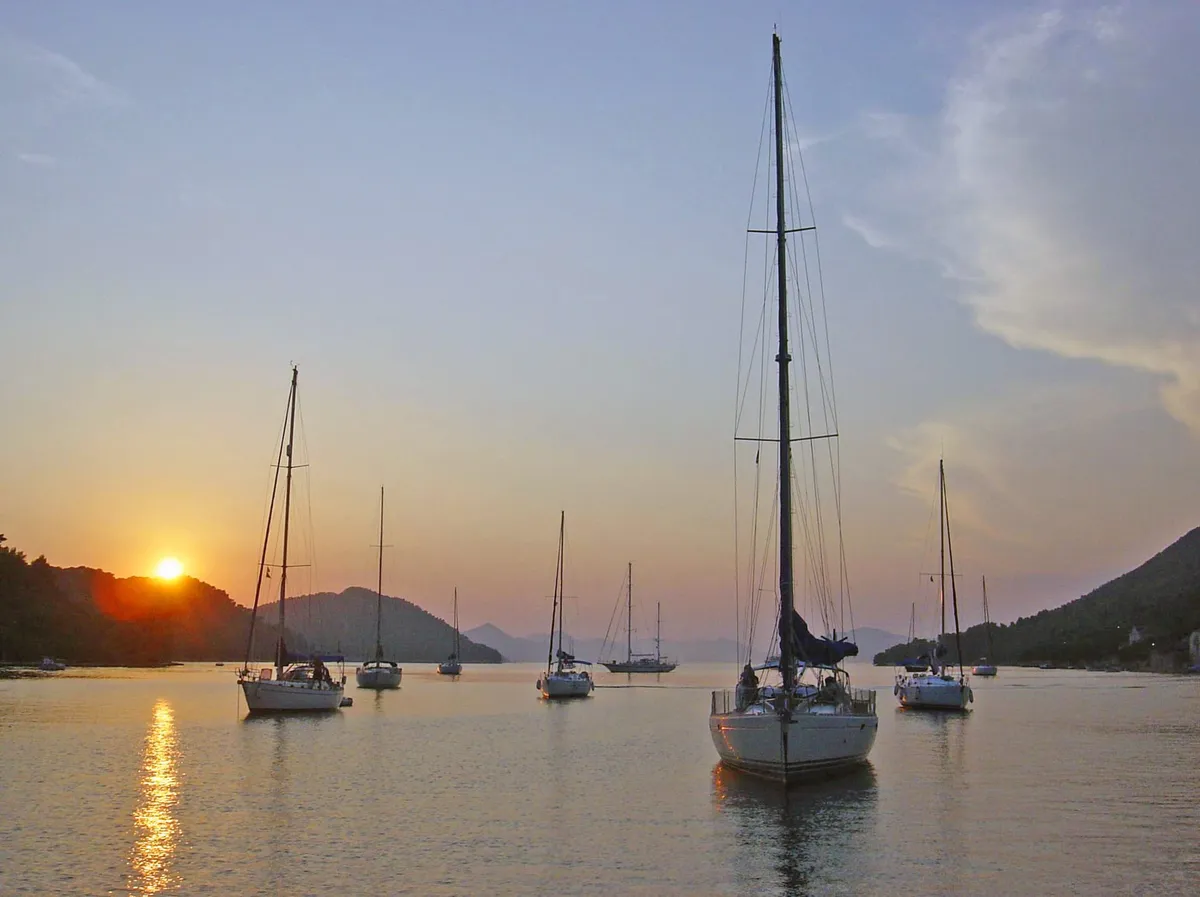
Sailing yachts at anchor in the bay of Šipanska Luka at sunset, with wooded hills on both sides and the sun low over the ridgeExperienced crews

Split to Dubrovnik in a week

Pakleni Islands, Vis island, Korčula, Lastovo, Mljet, Elaphiti Islands and Dubrovnik coast
148 NMin 7 days (Measured by us, )
26 NMlongest day (Measured by us, )
7 nights3 marinas, 3 town quays, 1 restaurant berth

A one-way week from Split to Dubrovnik through the Pakleni Islands, Vis, Korčula, Lastovo, Mljet and Šipan, with open-water legs between the southern islands.

See Split to Dubrovnik in a week
Map of the seven-day Split to Dubrovnik routeSSplit1Palmižana23Vela Luka4Zaklopatica567Map of the seven-day Split to Dubrovnik routeSSplit1Palmižana2Vis town3Vela Luka4Zaklopatica567DubrovnikMap of the seven-day Split to Dubrovnik routeSSplit1Palmižana2Vis town3Vela Luka4Zaklopatica5Polače67DubrovnikMap of the seven-day Split to Dubrovnik routeSSplit1Palmižana2Vis town3Vela Luka4Zaklopatica5Polače67DubrovnikOpenFreeMap © OpenMapTiles OpenStreetMap
Not for navigation
Map of the seven-day Split to Dubrovnik routeSSplit1Palmižana2Vis town3Vela Luka4Zaklopatica5Polače6Šipanska Luka7Dubrovnik
Not for navigation
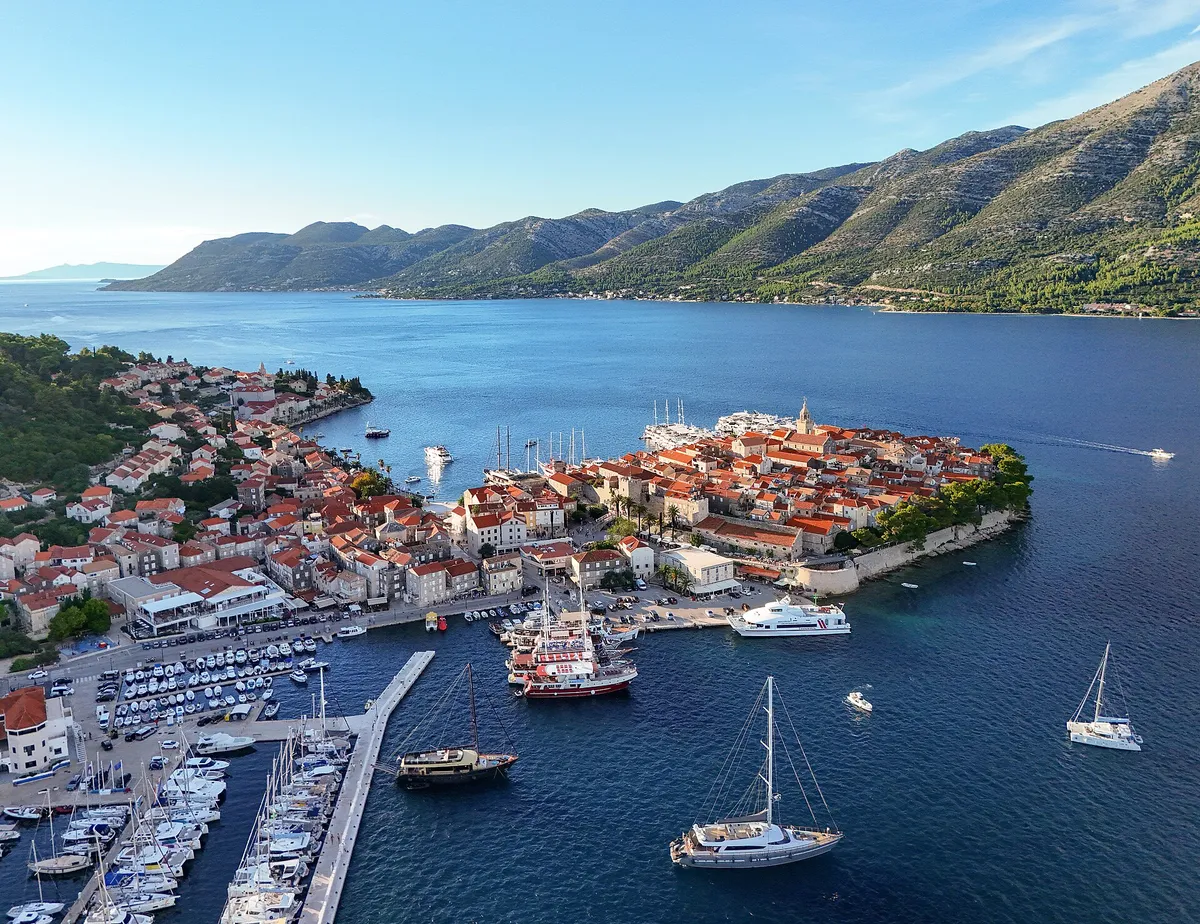
The old town of Korčula from the water, with stone houses, a round tower and the bell tower above the town quay, where boats are mooredExperienced crews

Two weeks from Split: Korčula, Lastovo and Mljet

Pakleni Islands, Vis island, Korčula, Lastovo, Mljet, Elaphiti Islands, Hvar, Brač and Šolta
293 NMin 14 days (Measured by us, )
30 NMlongest day (Measured by us, )
14 nights7 marinas, 6 town quays, 1 restaurant berth

Two weeks from Split and back: out through Vis, Korčula, Lastovo, Mljet and Šipan, home by Hvar, Brač and Šolta.

See two weeks from Split
Map of the two-week Split route through Korčula, Lastovo and MljetSSplit1Palmižana2Vis town3Vela Luka45Zaklopatica67810Sućuraj11Bol1213MaslinicaMap of the two-week Split route through Korčula, Lastovo and MljetSSplit1Palmižana2Vis town3Vela Luka4Korčula town5Zaklopatica6Polače7810Sućuraj11Bol12Milna13MaslinicaMap of the two-week Split route through Korčula, Lastovo and MljetSSplit1Palmižana2Vis town3Vela Luka4Korčula town5Zaklopatica6Polače7810Sućuraj11Bol12Milna13MaslinicaMap of the two-week Split route through Korčula, Lastovo and MljetSSplit1Palmižana2Vis town3Vela Luka4Korčula town5Zaklopatica6Polače7810Sućuraj11Bol12Milna13MaslinicaOpenFreeMap © OpenMapTiles OpenStreetMap
Not for navigation
Map of the two-week Split route through Korčula, Lastovo and MljetSSplit1Palmižana2Vis town3Vela Luka4Korčula town5Zaklopatica6Polače7Šipanska Luka8Pomena10Sućuraj11Bol12Milna13Maslinica
Not for navigation

Plan your first week

Fifteen guides, in the order most crews plan a charter week, each answered with its sources.

All guides
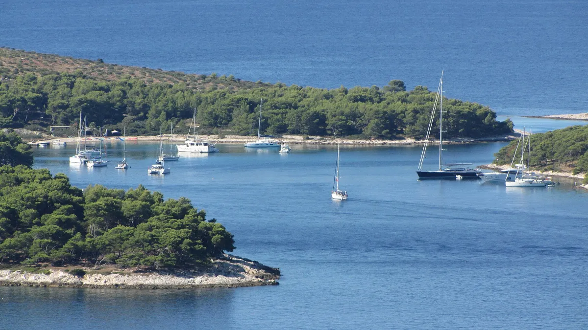
Sailing yachts anchored in a pine-fringed bay in the Pakleni islands, telephoto from the hills
Published

Best time to sail in Croatia

Month by month: wind, sunshine, rain and daylight from the official climate records for Split, and what each month means for crowds and prices.

  • January, few charters
  • February, few charters
  • March, few charters
  • April, few charters
  • May, good
  • June, best
  • July, good
  • August, good
  • September, best
  • October, good
  • November, few charters
  • December, few charters

Light blue with a bar: best months. Pale blue with an outline: good. Grey: few charters run.

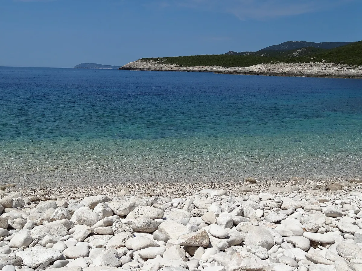
The white pebble beach of Srebrna bay with clear shallow water, the low rock slabs of the headland and open sea beyondCroatia or Greece?Winds, island hops, charter and mooring costs, taxes, licences and seasonYachts moored close together in the narrow Šešula bay beside Maslinica, late lightBareboat, skipper or flotilla?Who each way of sailing suits, and the experience a bareboat needsSailing yacht under full main and genoa on deep blue water, bare Kornati hills behindHiring a skipper: cost, cabin and tipsWhat a hired skipper does, where they sleep and how tipping worksKut waterfront in Vis town with yachts and gulets moored and a yacht on a buoy in frontCatamaran or monohull?Space, comfort, cost and marina fees comparedAerial of Split with ACI Marina Split, Marjan hill, the Riva and the islands beyondSplit, Trogir or another base?Which base suits your flights, your crew and your routeACI Marina Trogir on the Čiovo shore seen across the channel from the Trogir Riva, yachts and motor boats along the pontoons, the bow of a moored tall ship at the rightDo you need a licence to sail in Croatia?What the law asks of a skipper, and what charter companies askThe Pakleni islands and ACI Marina Palmižana from the hills above Hvar town, yachts at anchor, Vis on the horizonWhat a sailing week really costsThe boat, marinas, buoys, fuel, food and the deposit, added upHvar town harbour packed with yachts and the Pakleni islands, seen from the hillside above townBooking a charter: quotes and depositsHow to compare quotes, and what to check before you payYachts moored side by side along the quay in Hvar town, with old stone houses, the clock tower and the pine-covered hill behind, and swimmers on a stone bathing platform and in the water in frontBooking a berth, and when to arriveHow far ahead to book, which places take bookings, and when the rest fill upA small boat at anchor over sand and weed in clear water, straight-down drone viewAnchoring rules and feesWhere you may anchor, and who may charge you for itA drone view of yachts moored stern-to on a pontoon with lazy lines, and a sailing yacht leaving its berth.Med mooring, step by stepHow to moor stern-to on a town quay or in a marina, pick up a buoy and tie ashoreA fishing-themed Croatian restaurant terrace with tables under hanging nets and a view across bright blue seaRestaurant moorings: free or paid?Which restaurant berths are free with dinner, and what to ask before you tie upA storm on the Adriatic with waves breaking over a harbour wall and its green light, under a grey sky.Bura, jugo and maestral: which forecast?How the main winds behave, and which forecast to read each morningThe Split Gate, the strait between Šolta and Brač, seen from the sea, with a small lighthouse and the mainland mountains beyondSafety at sea: who to callWho to call, what to say on the radio, and where the fast ferries run

Where to stay the night

Marinas, town quays, mooring buoys, anchorages and restaurant moorings. Each shows where its facts came from and the date we checked them.

Open the full map
Not for navigationMarina berth, Maslinica

€135 a day in July 2026, 12 m boat, plus €10 water and power

Source checked: (From the operator, )

From the journal

Reports that show something new, with the evidence behind them. Each place and guide they touch changes first.

All reports

How we check facts

Prices, buoys, rules and phone numbers change every season. So every fact carries a label, its source and the date we last checked it, and we publish a fact only once we have checked it. What sailors tell us goes in its own section on each page, with the date and who sent it.

From the operatorThe business that runs it told us, or we read its own website or price list.
Official sourceA public authority published it, like the official gazette or a harbourmaster.
Seen by usAn editor or a skipper reviewer was there by boat and saw it in person.
Seen by a sailorA sailor who was there sent a dated photo or report, and an editor checked it.
Measured by usWe measured or worked it out ourselves, like a distance on our route tool.
Sources disagreeTwo checked sources disagree about a safety condition. We show both and our cautious answer.
Third-party sourceFrom a named third party, not confirmed by the operator or an official source.
How we check facts
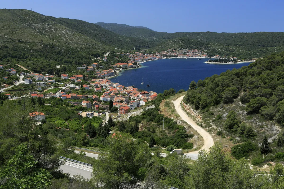
The bay of Vis from the road above Kut: the houses of Kut in front, the long harbour with the town of Vis along its far shore and the Prirovo peninsula, framed by green hills
Sources disagree

Shelter on the Vis town quay

The port authority and the harbour's operator describe the main quay's shelter differently. We show both, and give the cautious answer.

Deep in St George's bay and sheltered by the islet of Host and the Prirovo peninsula, "no wind" troubles a sailor here: Split-Dalmatia County Port Authority: the port of Vis (Official source, )
Only winds from the north and northeast bother the main quay, whose east end is less sheltered. Kut is more open to the northwest, and a squall from the west needs care: Gradina Vis d.o.o.: its port services (mooring and unmooring) in the port of Vis (From the operator, )

Our answer: Treat the main quay as open to winds from the north and northeast

All 1189 facts on the site name their source, the latest checked on : 399 from the operator, 420 from official sources, 223 measured by us and 140 from third-party sources, such as pilot books and magazines, so treat those 140 as a guide. The sources disagree on 5 points, in 7 facts: the bridges east of the marina in ACI Marina Trogir, which winds reach it in Blaca bay, shelter at the Blue Lagoon, shelter in Mlini bay and shelter in Vis town.

See every source

Sailors can tell us what changed, and we check each report against its source.

Published . Updated .

Recently checked

We check facts again through the season. These are the newest checks, on the places, routes and reports they belong to.

All changes

Sources for this page

21 facts from 12 sources, last checked .

ACI Marina Palmižana's price list for 2026 (Palmižana: the marina price)
(From the operator, )
ACI Marina Split's price list for 2026 (The ACI Marina Split price)
(From the operator, )
(Official source, )
Split-Dalmatia County Port Authority: Port fee rules (Pravilnik o lučkim pristojbama) of 21 Jun 2023, with the 2025 and 2026 changes, Articles 8 and 14 (Hvar town: the town quay fee. Bol: the harbour fee. Komiža: the town quay fee)
(Official source, )
(Official source, )
Show all 12 sourcesShow fewer sources
Our route tool: our planning line by sea, with varying clearance near the coast and harbour approaches, along our planned line (drawn 26 Sep 2026; day 3 through Tatinja, joined from the solver's legs, on 5 Oct 2026) (Distances and hours for every day, the longest day)
(Measured by us, )
Our route tool: our planning line by sea, with varying clearance near the coast and harbour approaches (Distances and hours for the Split to Dubrovnik route in South Dalmatia, the longest day on the Split to Dubrovnik route in South Dalmatia, distances and hours for the two-week route from Split in South Dalmatia, the longest day on the two-week route from Split in South Dalmatia)
(Measured by us, )
Our route tool, along our planned line (redrawn 25 Sep 2026; days 3, 6 and 7 through our plan's stops, joined from the solver's legs of 26 Sep 2026, on 5 Oct 2026) (Distances and hours for every day)
(Measured by us, )
Our route tool, along our planned line (The longest day)
(Measured by us, )
Our route tool: the shortest line by sea between the two harbours, from the table of harbour distances measured on 26 Sep 2026 (Distance from Split on Vis. Milna: distance from Split. Palmižana: distance from Split)
(Measured by us, )

Photos on this page

  • Sailing yachts anchored off the mouth of Stiniva cove, aerial with open sea and horizonStiniva Bay, south coast of Vis. Photo: “Aerial view of the Adriatic Sea at Stiniva Bay on Vis island in Croatia” by dronepicr, CC BY 2.0, resized
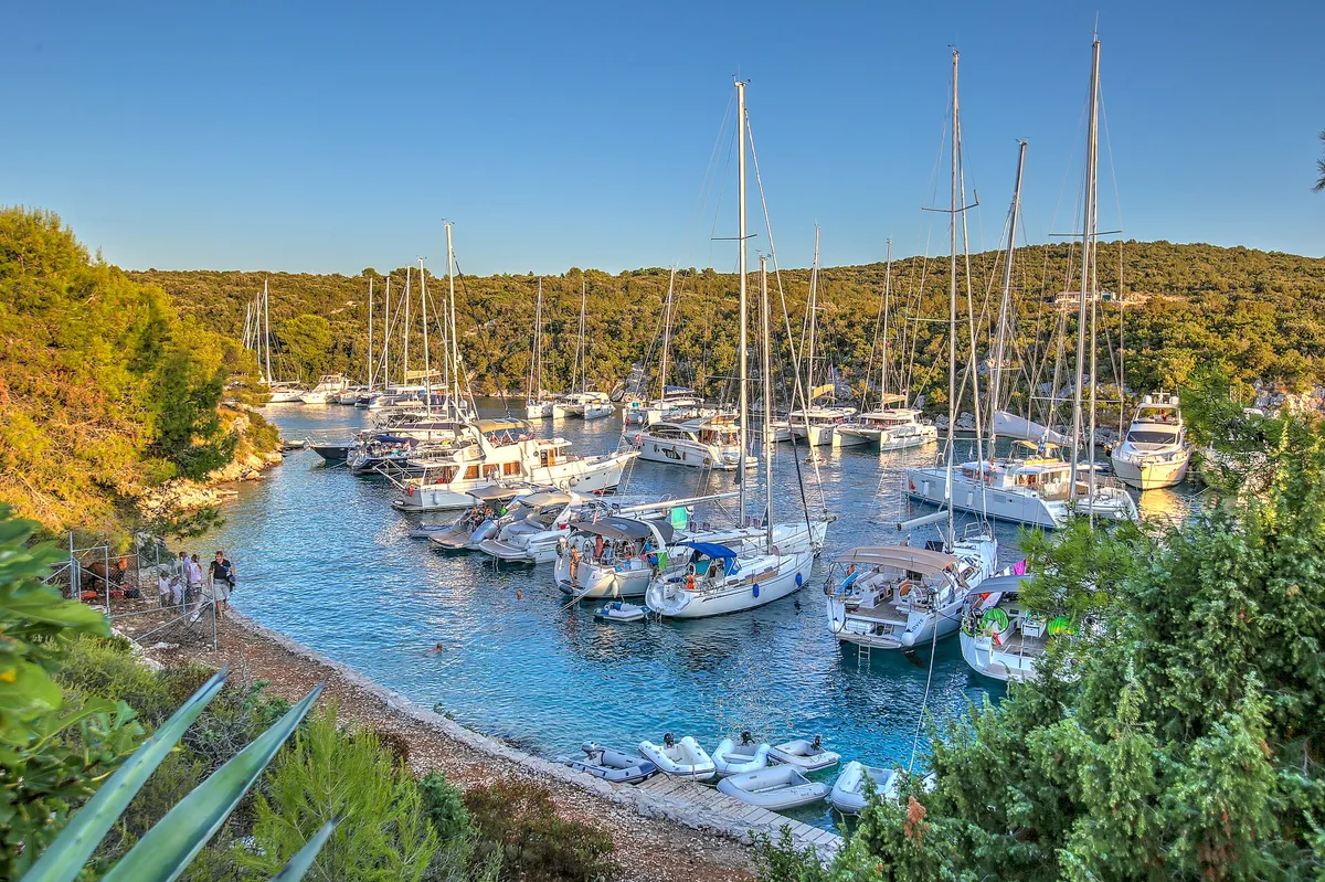
  • Yachts moored close together in the narrow Šešula bay beside Maslinica, late lightUvala Šešula, next to Maslinica, island of Šolta. Photo: “Šolta Maslinica Hrvatska Uvala Šešula 2019 08a” by Joadl, CC BY-SA 3.0 AT, resized
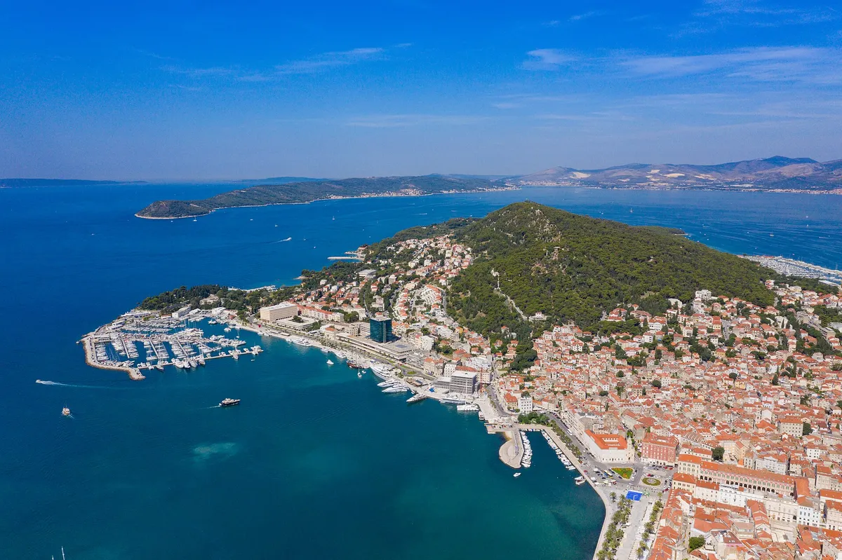
  • Aerial of Split with ACI Marina Split, Marjan hill, the Riva and the islands beyondSplit. Photo: “Aerial view of Marina Split in Croatia” by dronepicr, CC BY 2.0, resized
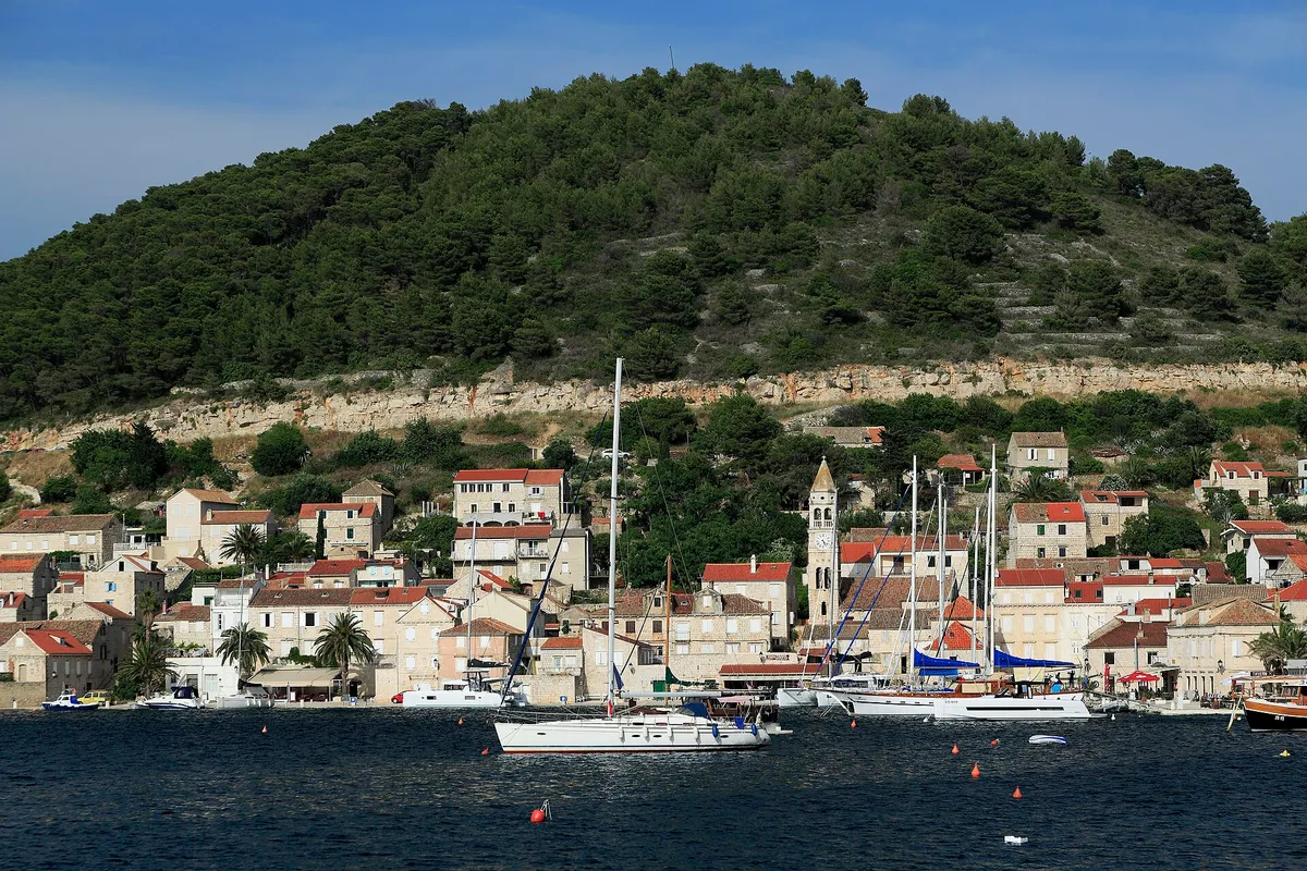
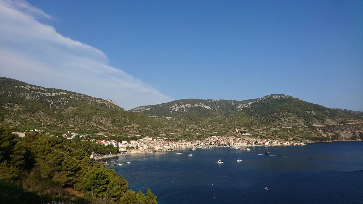
  • The bay of Vis from the road above Kut: the houses of Kut in front, the long harbour with the town of Vis along its far shore and the Prirovo peninsula, framed by green hillsVis bay and Vis town, from the hill above Kut. Photo: “J32 438 Vis-Stadt, Viška Luka” by Falk2, CC BY-SA 4.0, resized
  • The Trogir channel from the Kamerlengo fortress, with a yacht on the Riva quay, water taxis crossing and the marina pontoons on the Čiovo shore where ACI Marina Trogir lies.Trogir, the channel between the old town and Čiovo. Photo: “Trogir” by Nick Savchenko from Kiev, Ukraine, CC BY-SA 2.0, resized
  • The marina in Maslinica bay on Šolta, with yachts on the pontoons, the old castle and a small beach in front.Maslinica, Šolta, the marina and castle. Photo: “Maslinica, marina s tvrzí 01” by Draceane, CC BY-SA 4.0, resized
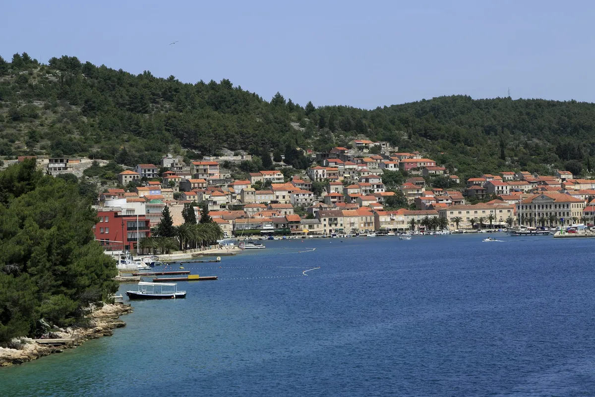
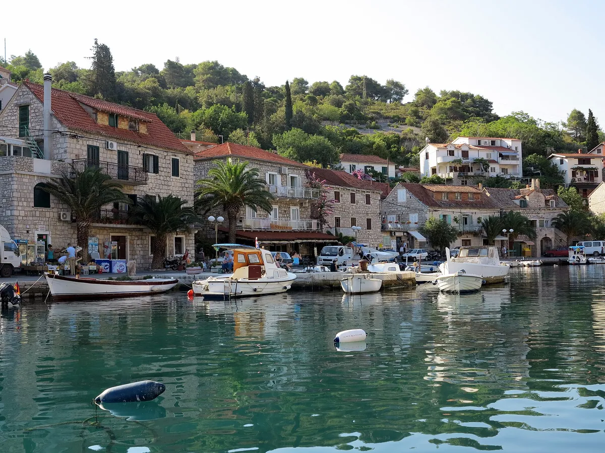
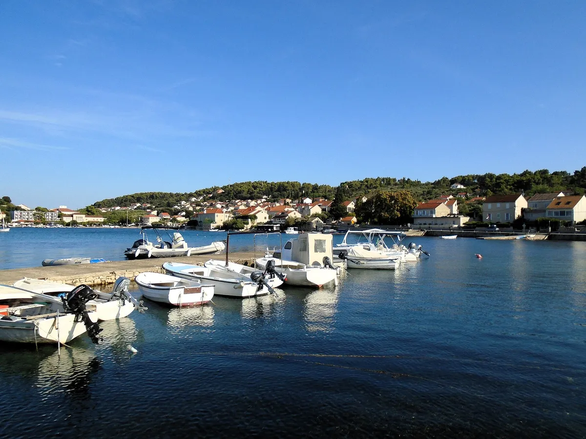
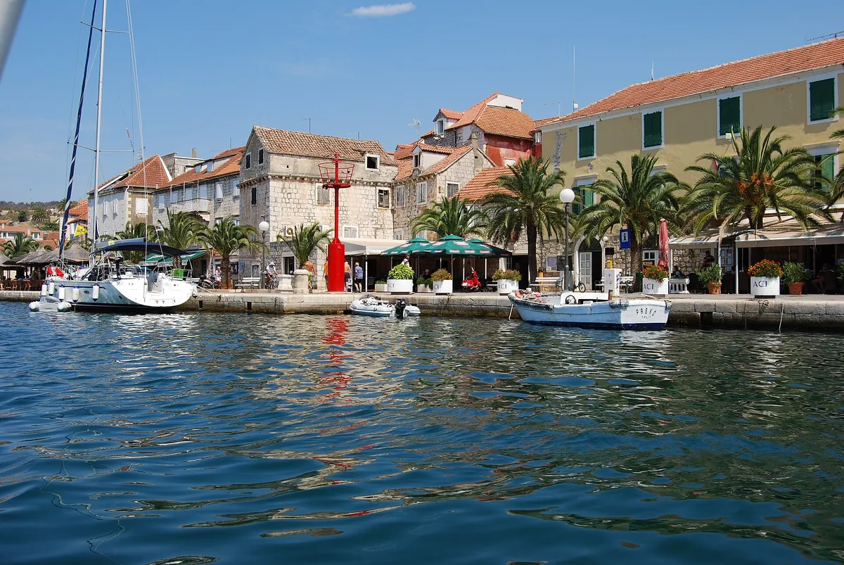
  • Milna waterfront seen from the water, stone houses, palms and yachts moored on the quayMilna, island of Brač. Photo: “Milna, kikötő - panoramio” by Sztudva Gyöngyi, CC BY-SA 3.0, resized
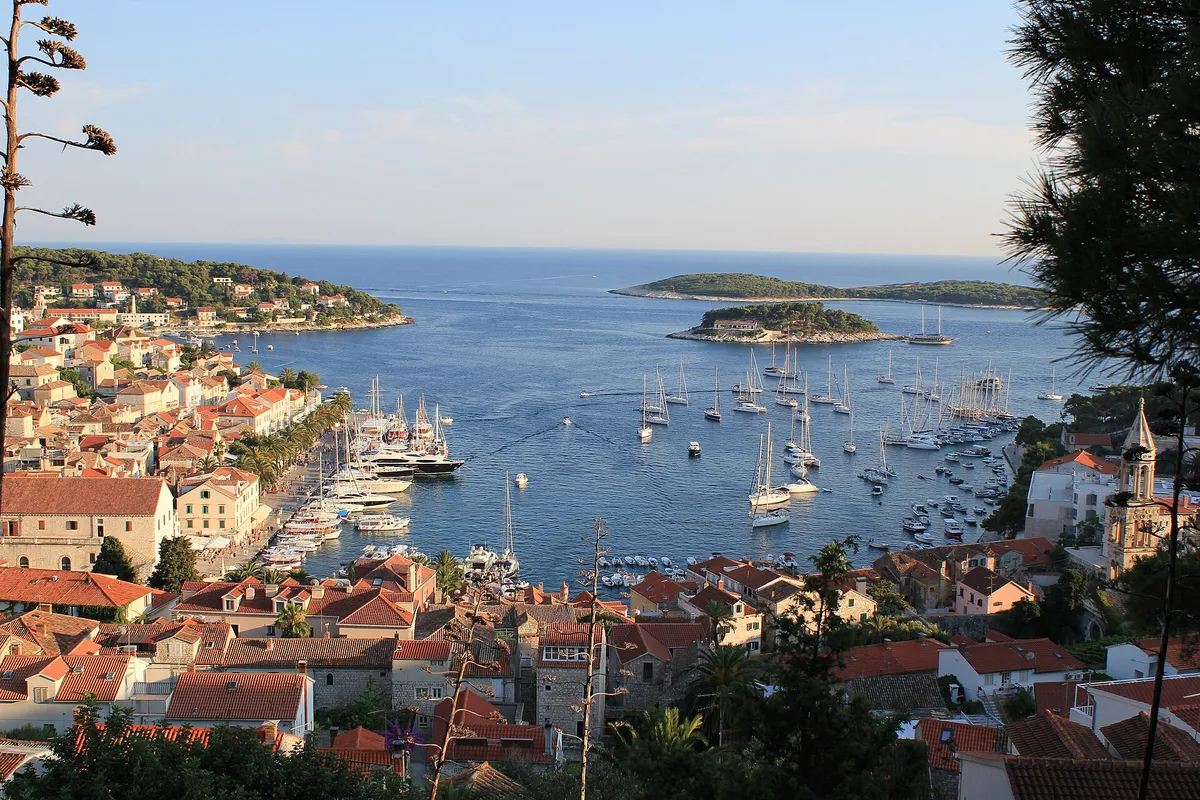
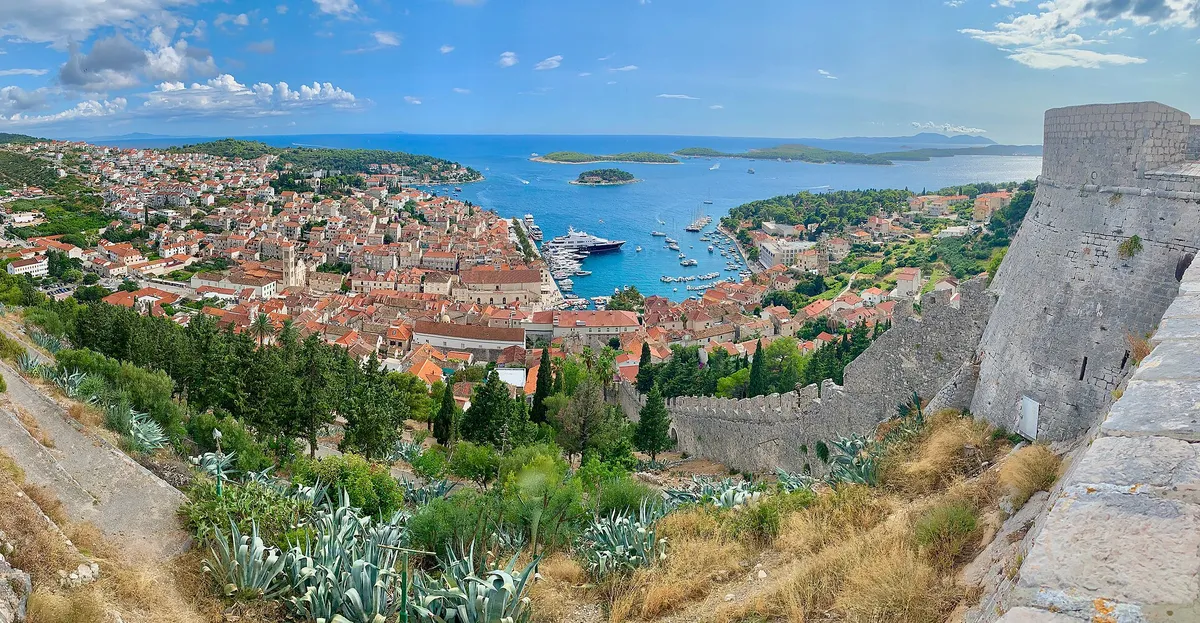
  • Hvar town harbour packed with yachts and the Pakleni islands, seen from the hillside above townHvar town, island of Hvar. Photo: “Hvar” by Jeremy Couture, CC BY 2.0, resized
Show all 26 photo creditsShow fewer photo credits
  • The Pakleni islands and ACI Marina Palmižana from the hills above Hvar town, yachts at anchor, Vis on the horizonPakleni islands, off Hvar town. Photo: “Pakleni otoci - panoramio (4)” by Dejan Sekuloski, CC BY 3.0, resized
  • Kut waterfront in Vis town with yachts and gulets moored and a yacht on a buoy in frontKut, Vis town, island of Vis. Photo: “J32 421 Vis-Stadt, Lučica” by Falk2, CC BY-SA 4.0, resized
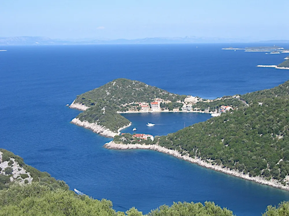
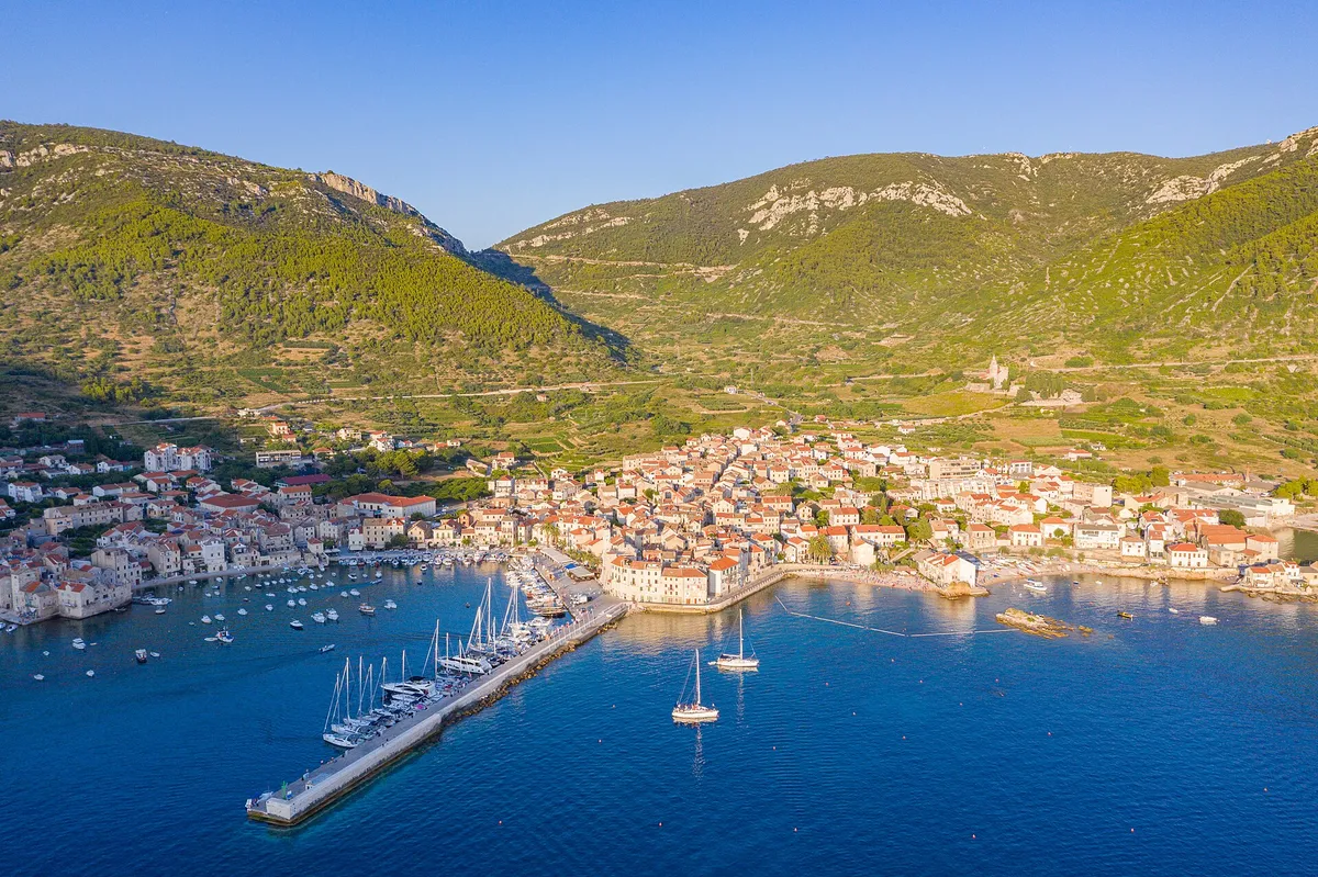
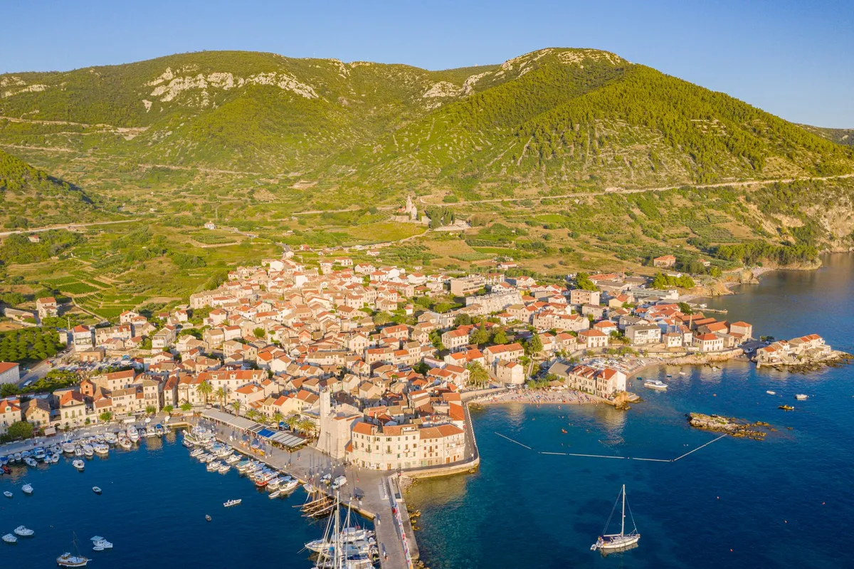
  • Komiža harbour on Vis, with fishing boats, a wooden sailing boat and small motorboats in front of the old town and the hills.Komiža, Vis, the harbour. Photo: “Hafen Komiza auf der Insel Vis in Kroatien” by dronepicr, CC BY 2.0, resized
  • Korčula old town on its peninsula seen from the air, with ACI Marina Korčula and the east harbour in front, sailing yachts and gulets at the quays, and the Pelješac mountains across the channelKorčula town, island of Korčula. Photo: “Korčula Old Town, Croatia (2024)” by Quintin Soloviev, CC BY 4.0, resized
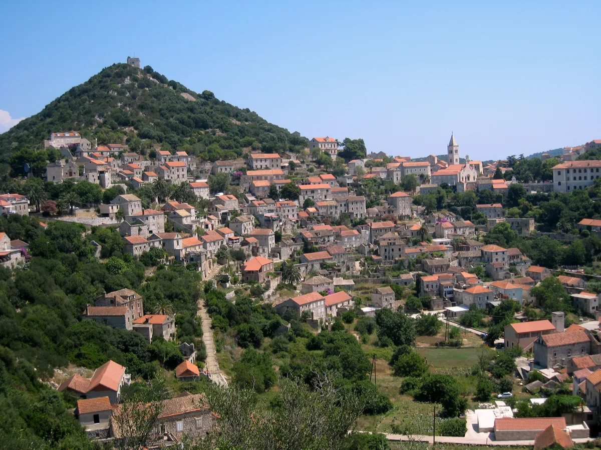
  • Lastovo town on its hillside, stone houses with red roofs climbing towards the church tower, below the wooded hill with the fort on topLastovo town, island of Lastovo. Photo: “Lastovo-Stadt” by Tbachner, CC BY 3.0, resized
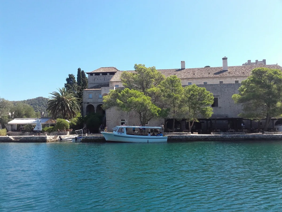
  • The Benedictine monastery on St Mary's islet in the Great Lake on Mljet, seen from the water, with the park's boat at the quay under the pinesSt Mary's islet, Veliko jezero, Mljet National Park. Photo: “Tiny Island of Saint Mary” by Bpavkovic, CC BY-SA 4.0, resized
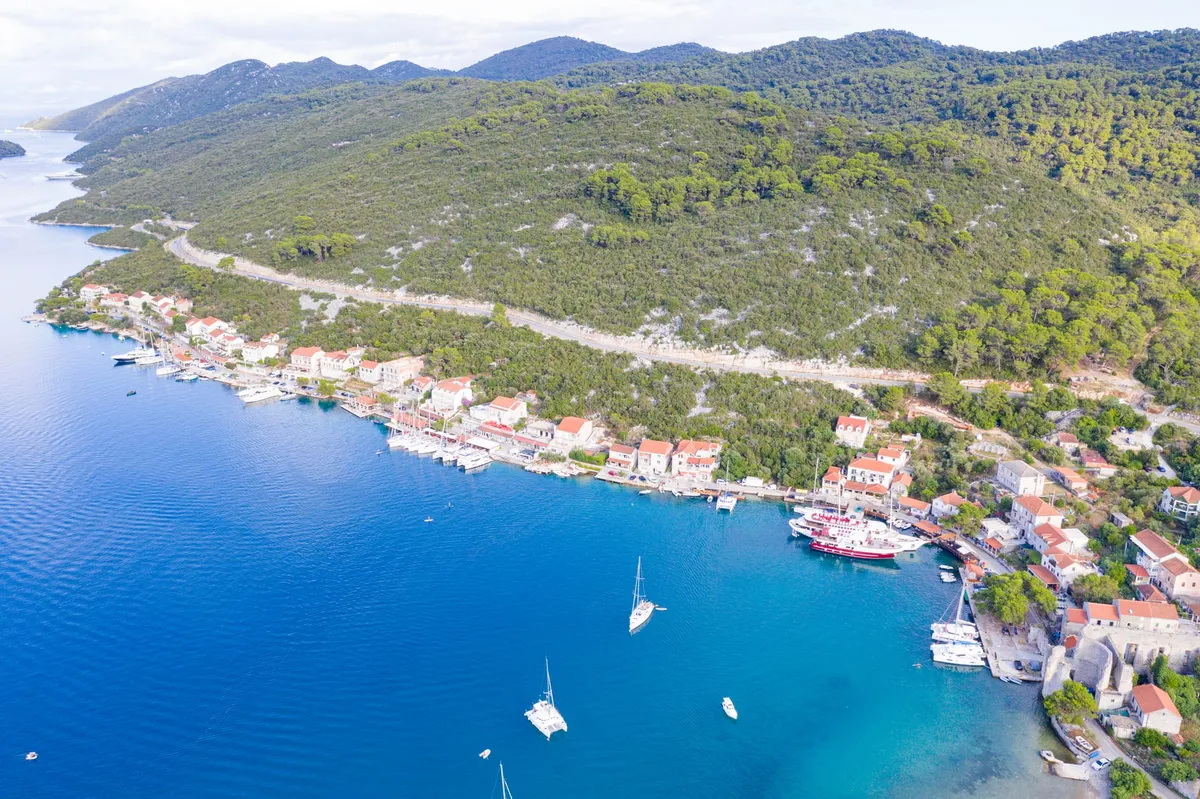
  • Sailing yacht under full main and genoa on deep blue water, bare Kornati hills behindTelašćica Bay, heading for the Kornati islands. Photo: “Voilier à Kornati” by julien, CC BY 2.0, resized
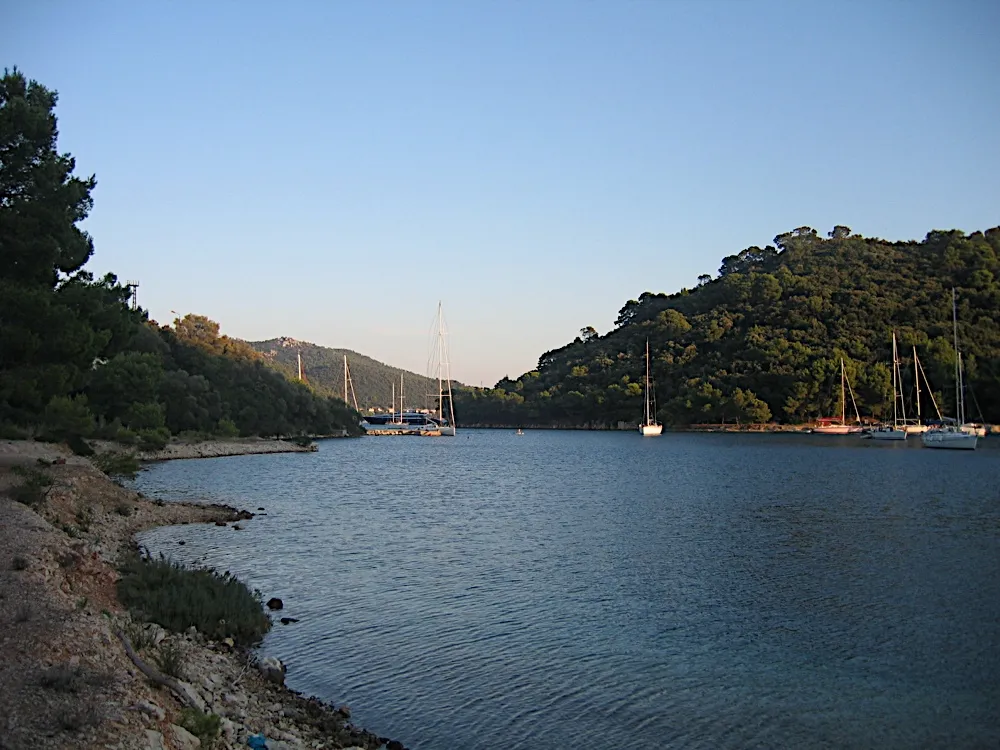
  • Sailing yachts at anchor in the bay of Šipanska Luka at sunset, with wooded hills on both sides and the sun low over the ridgeŠipanska Luka, island of Šipan. Photo: “Šipanska Luka, Elaphiti Islands, Croatia” by Charles J. Sharp, CC BY-SA 4.0, resized
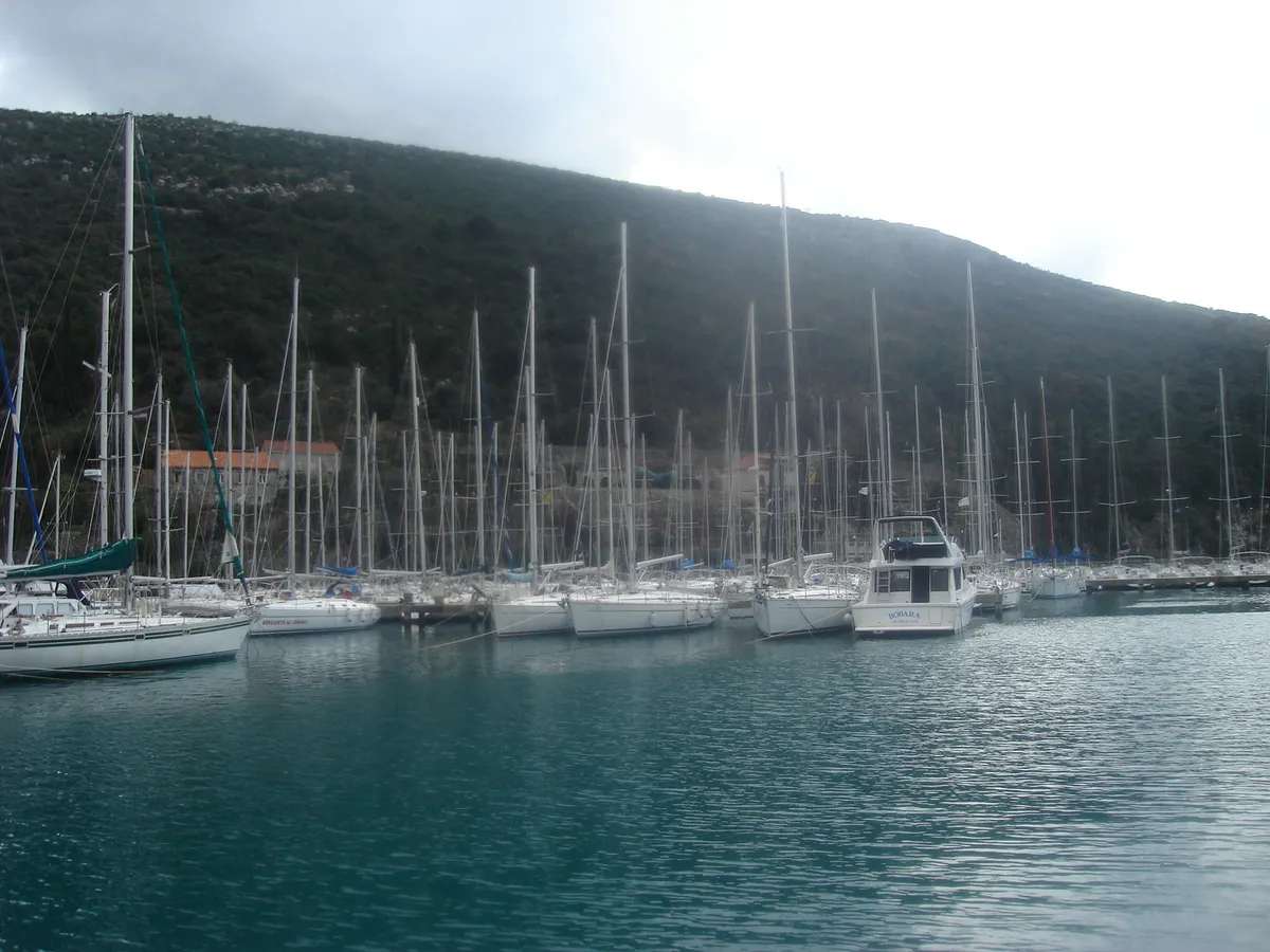
  • The old town of Korčula from the water, with stone houses, a round tower and the bell tower above the town quay, where boats are mooredKorčula old town, island of Korčula. Photo: “J36 046 Altstadthalbinsel” by Falk2, CC BY-SA 3.0 de, resized
  • Sailing yachts anchored in a pine-fringed bay in the Pakleni islands, telephoto from the hillsŽdrilca, Pakleni islands, off Hvar town. Photo: “Zdrilca - panoramio” by Dejan Sekuloski, CC BY 3.0, resized
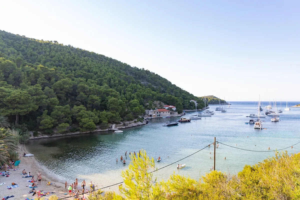
  • The white pebble beach of Srebrna bay with clear shallow water, the low rock slabs of the headland and open sea beyondSrebrna bay, south-east coast of Vis. Photo: “SREBRNA - panoramio” by sanja mm, CC BY 3.0, resized
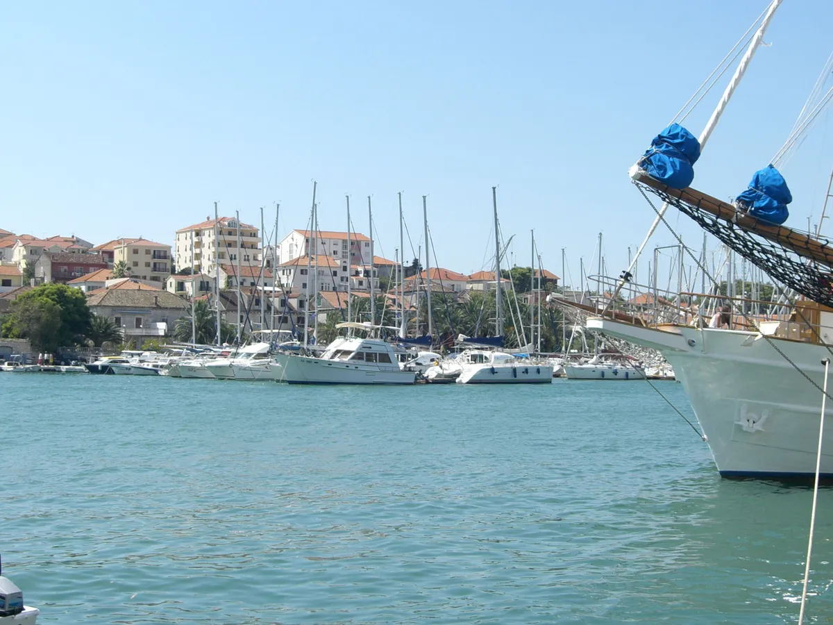
  • ACI Marina Trogir on the Čiovo shore seen across the channel from the Trogir Riva, yachts and motor boats along the pontoons, the bow of a moored tall ship at the rightACI Marina Trogir, Čiovo shore of the Trogir channel. Photo: “Trogir marina 053” by Ante Perkovic, CC BY 3.0, resized
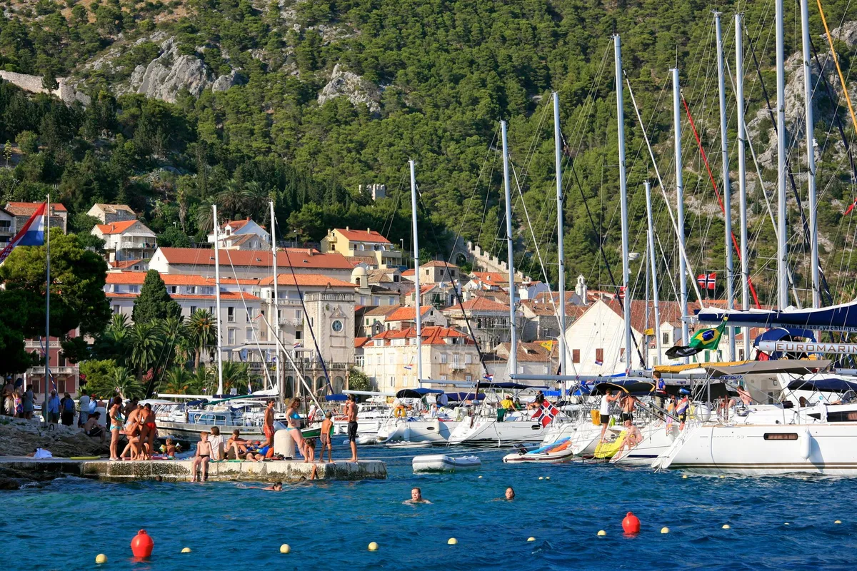
  • Yachts moored side by side along the quay in Hvar town, with old stone houses, the clock tower and the pine-covered hill behind, and swimmers on a stone bathing platform and in the water in frontHvar town harbour, the quay. Photo: “Hvar Town through the Yachts” by Alex Proimos from Sydney, Australia, CC BY 2.0, resized
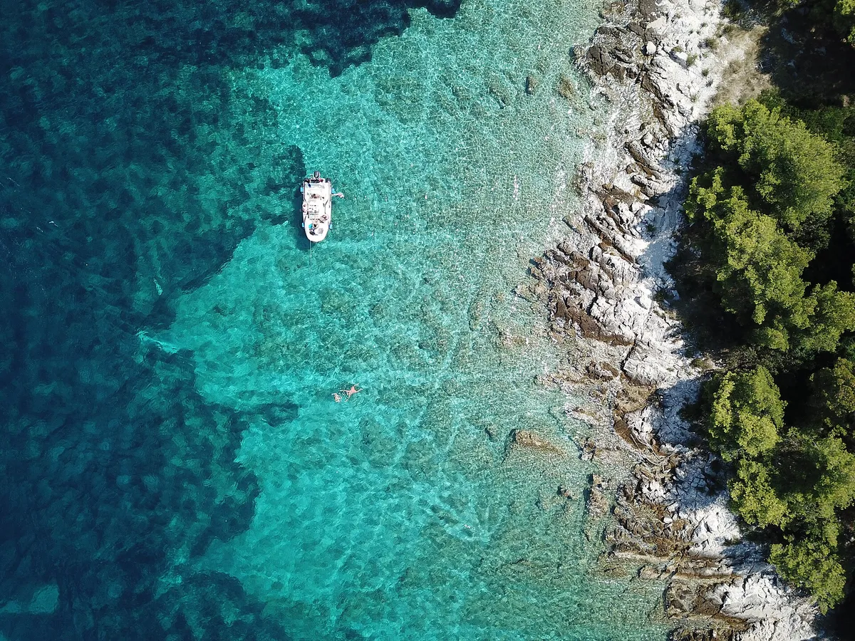
  • A small boat at anchor over sand and weed in clear water, straight-down drone viewSaskinja bay near Maslinica, island of Šolta. Photo: “Ocean near Maslinica on Solta in Croatia” by Lennartbj, CC BY-SA 4.0, resized
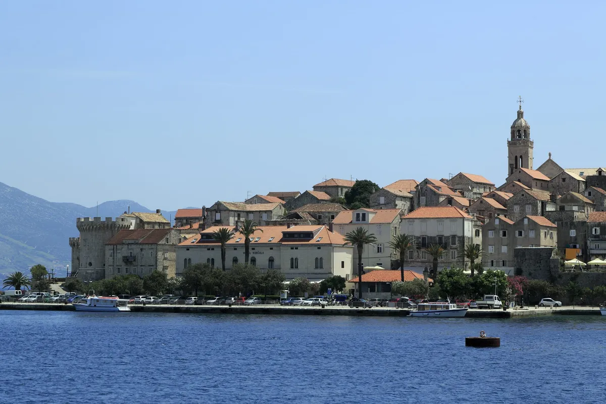
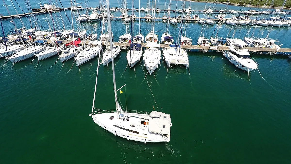
  • A drone view of yachts moored stern-to on a pontoon with lazy lines, and a sailing yacht leaving its berth.Marina Punat, Krk. Photo: “Sailboat leaving marina Punat” by Yacht Rent from Croatia, CC BY 2.0, resized
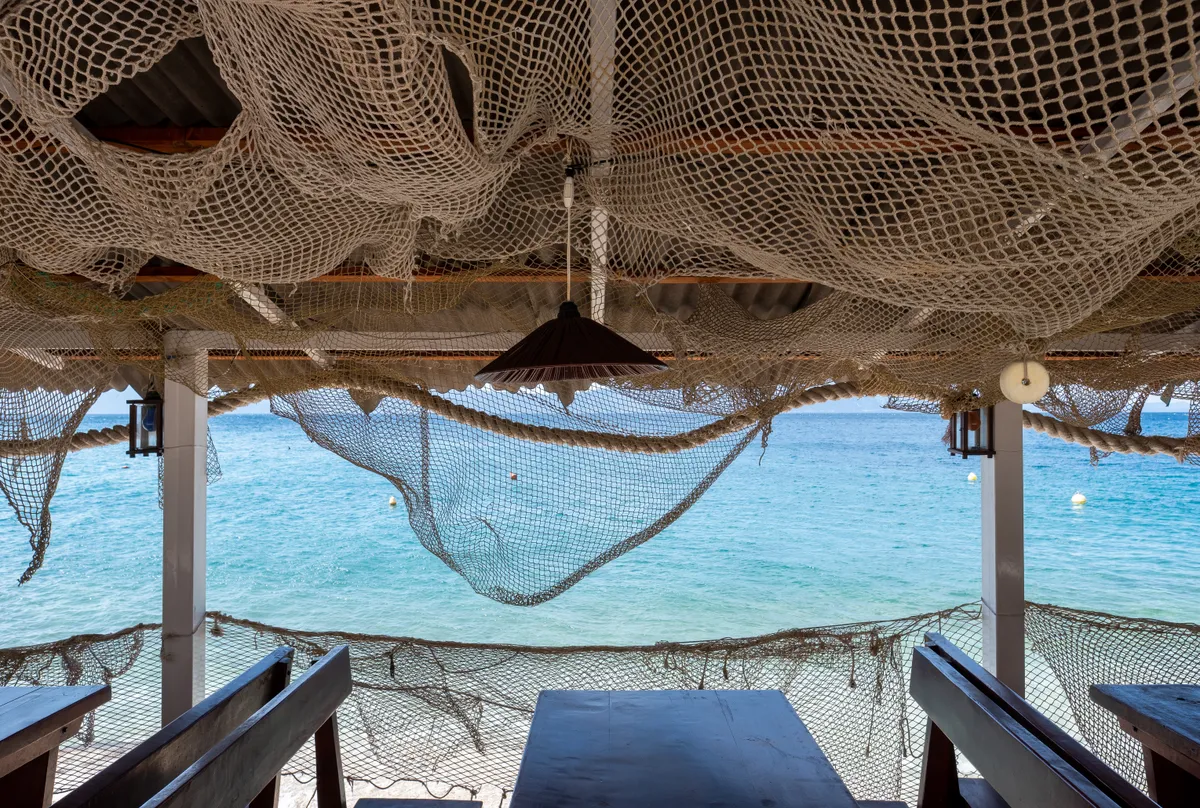
  • A fishing-themed Croatian restaurant terrace with tables under hanging nets and a view across bright blue seaA seaside restaurant terrace in Zaostrog, Dalmatia. Photo: “Fishing-themed restaurant terrace, Zaostrog, Croatia (PPL1-Corrected) julesvernex2” by Jules Verne Times Two, CC BY-SA 4.0, resized
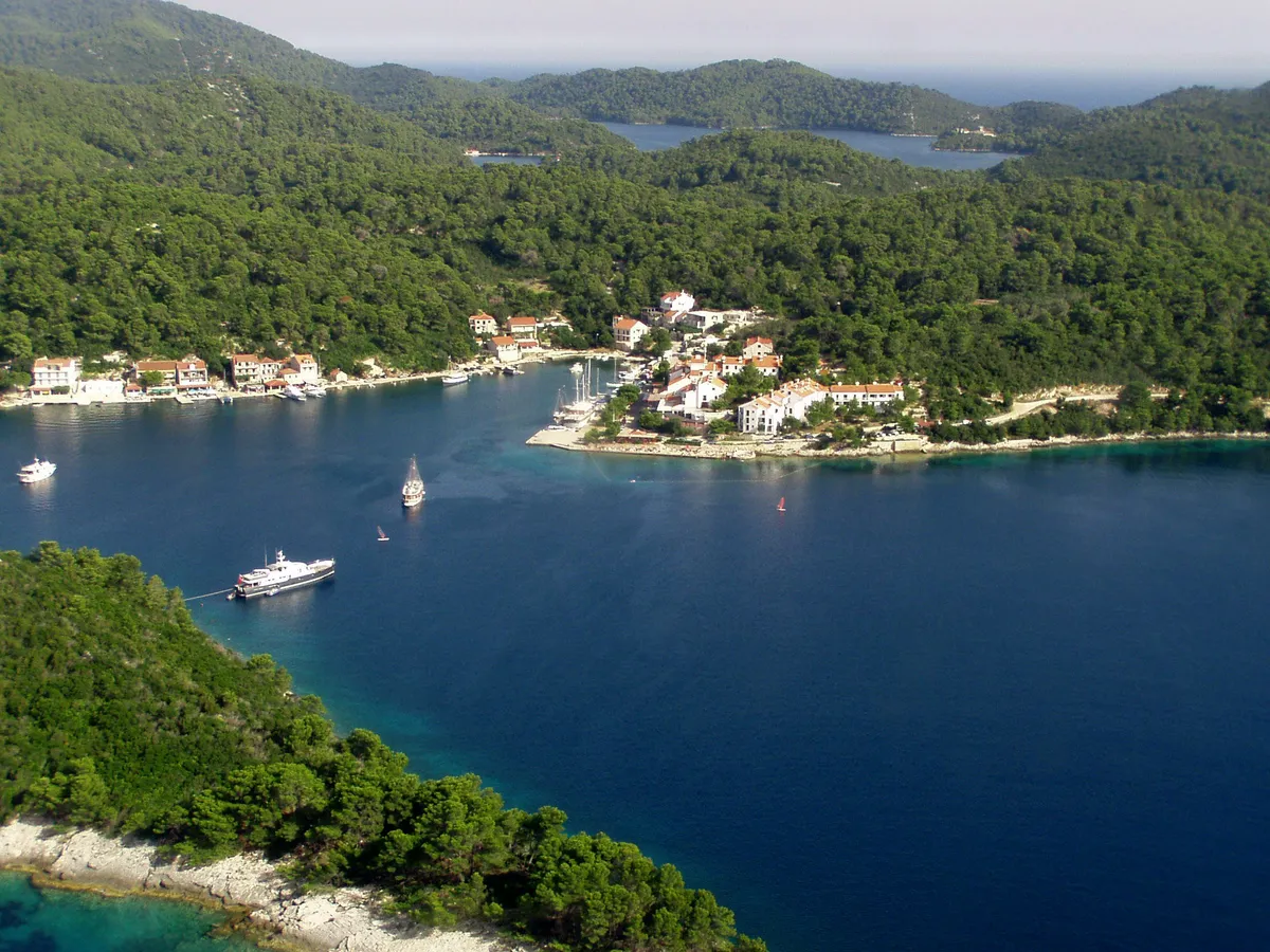
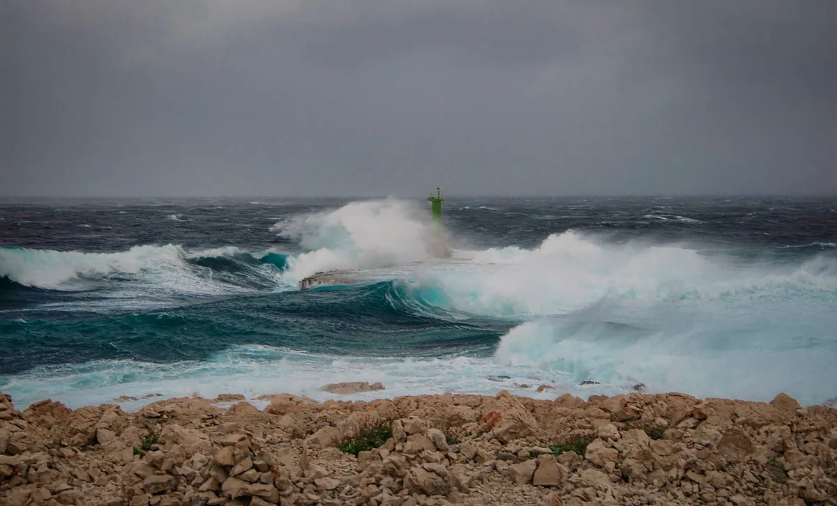
  • A storm on the Adriatic with waves breaking over a harbour wall and its green light, under a grey sky.Croatian Adriatic coast, place not named by the author. Photo: “The power of nature in Croatia” by otrow_photography, CC0, resized
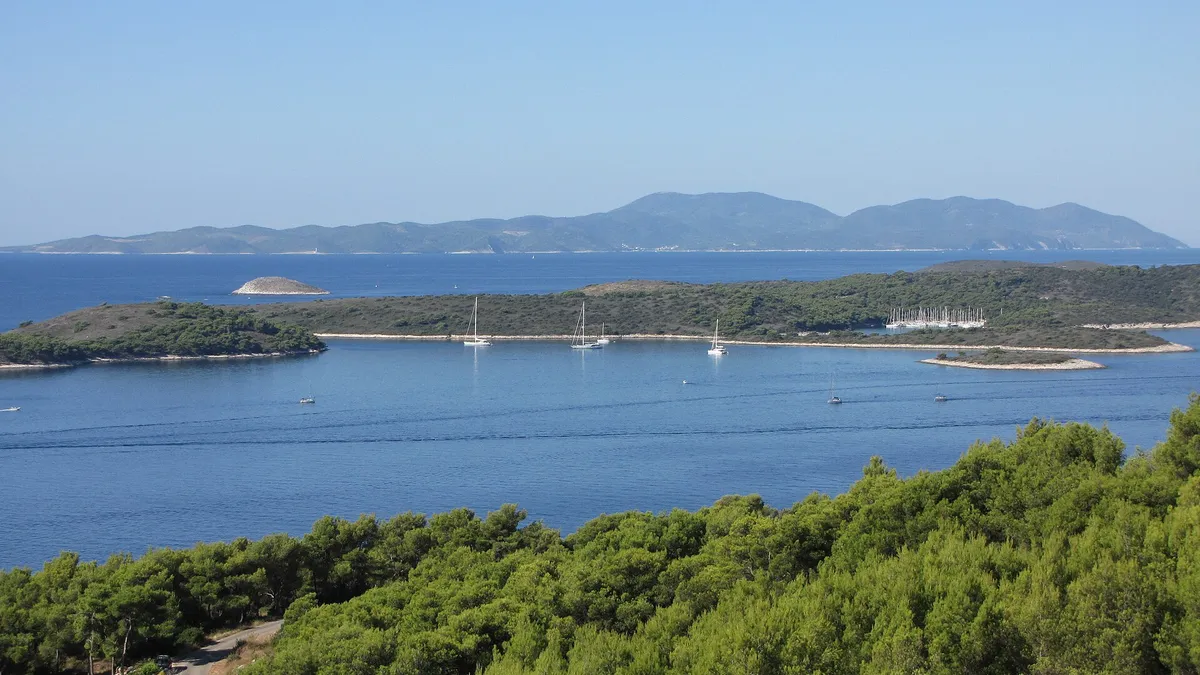
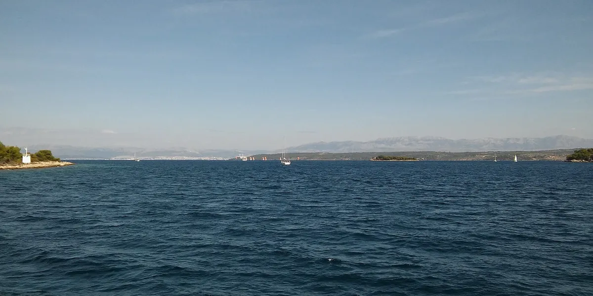
  • The Split Gate, the strait between Šolta and Brač, seen from the sea, with a small lighthouse and the mainland mountains beyondThe Split Gate (Splitska vrata), between Šolta and Brač. Photo: “Splitska vrata 2016” by Ante Pletikosić, CC BY-SA 4.0, resized