Skip to content
OlaSailSearch
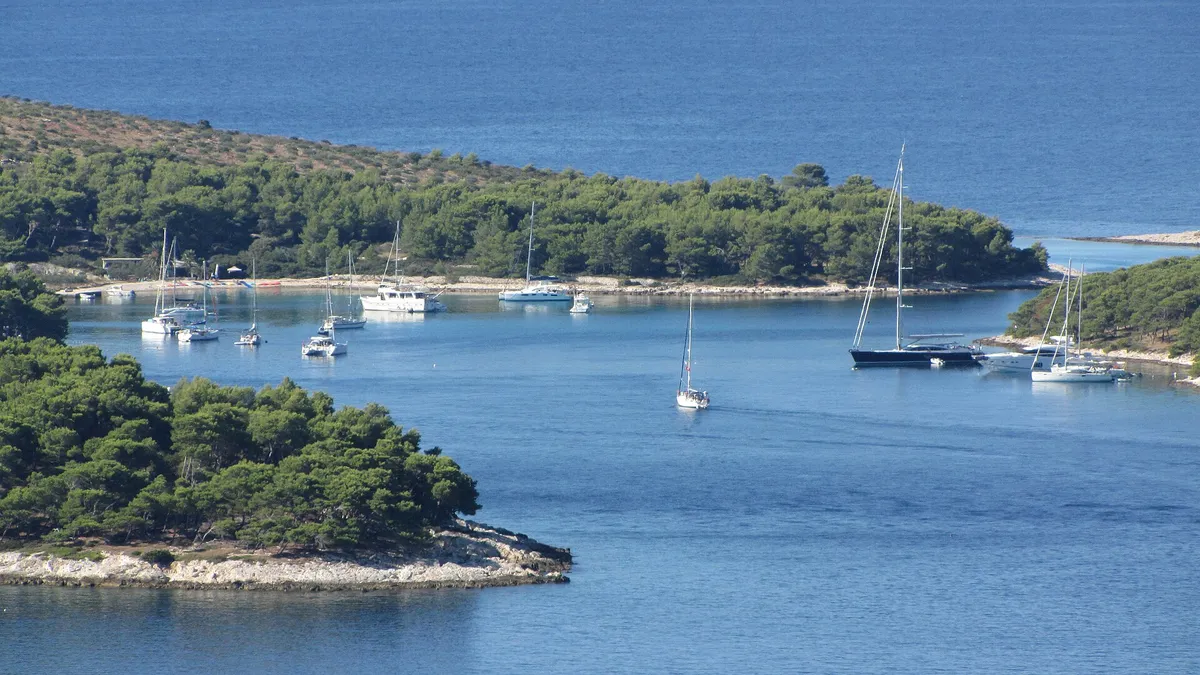
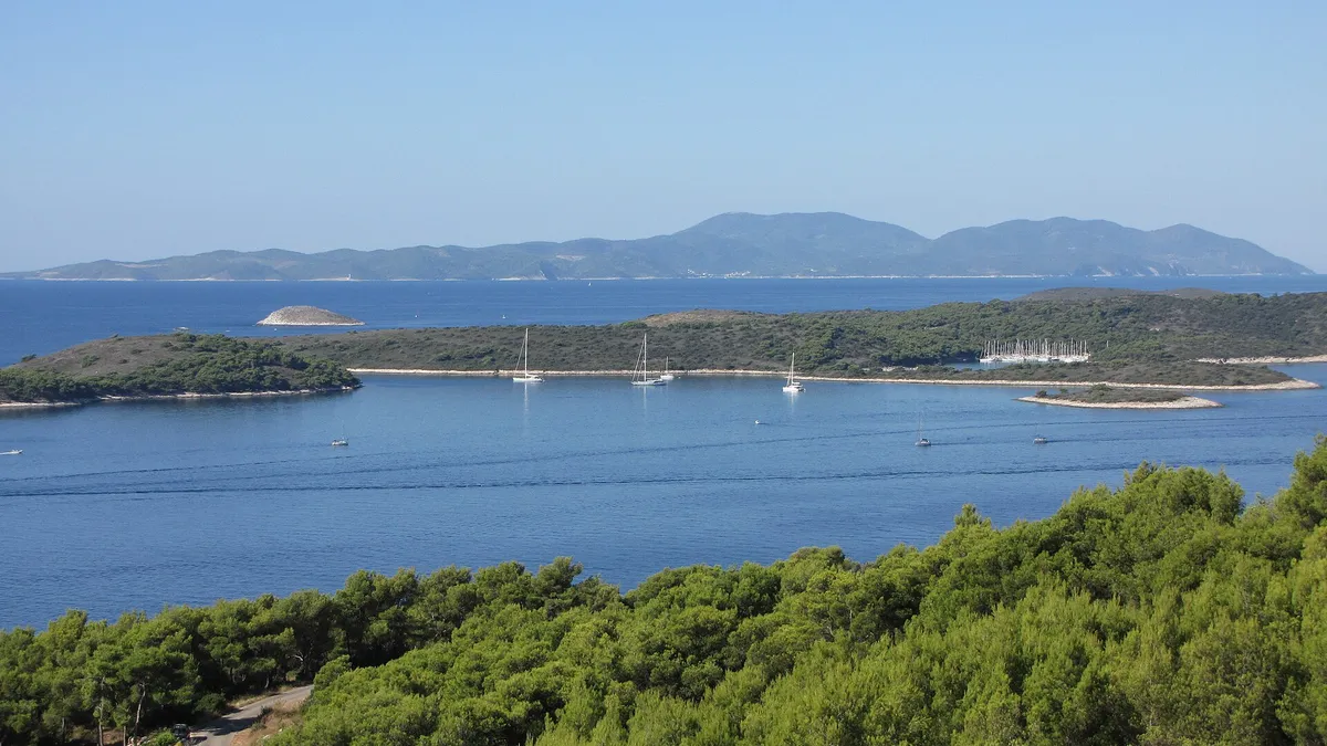
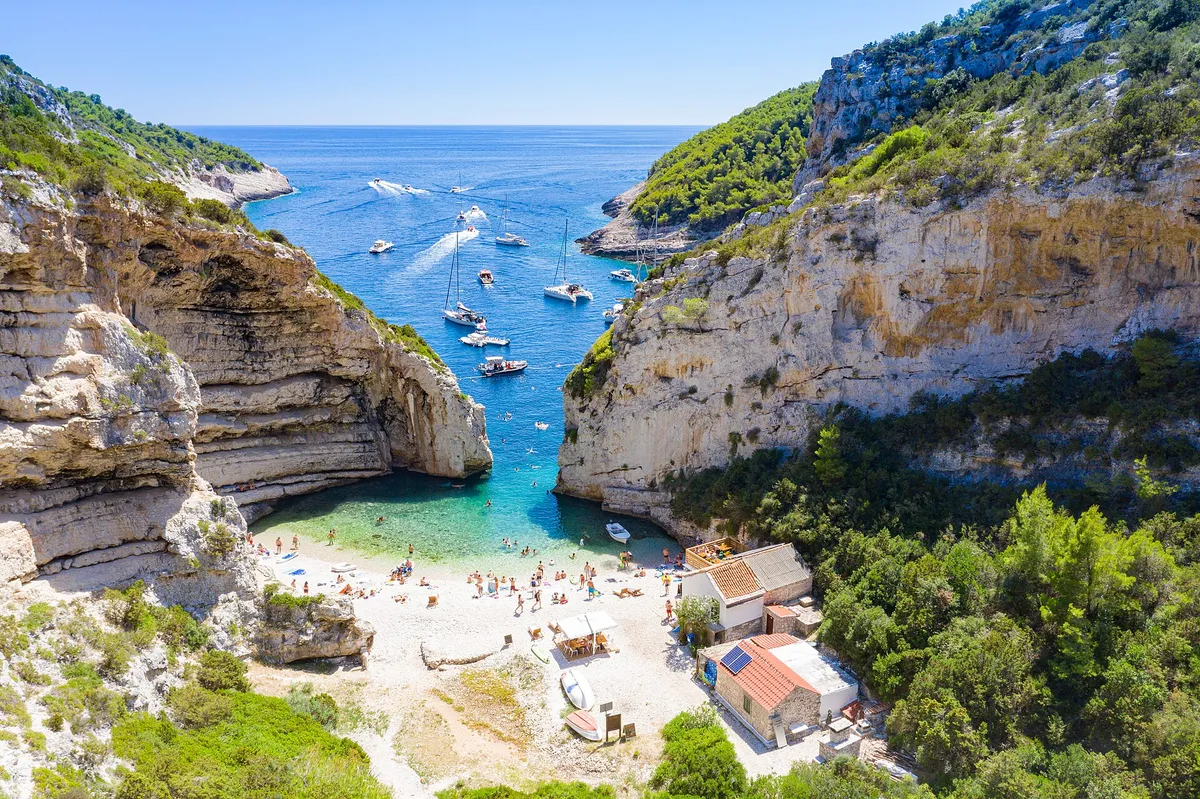
Sailing yachts anchored off the mouth of Stiniva cove, aerial with open sea and horizonPhoto: “Aerial view of the Adriatic Sea at Stiniva Bay on Vis island in Croatia” by dronepicr, CC BY 2.0, cropped and resized
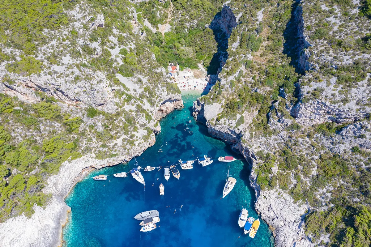
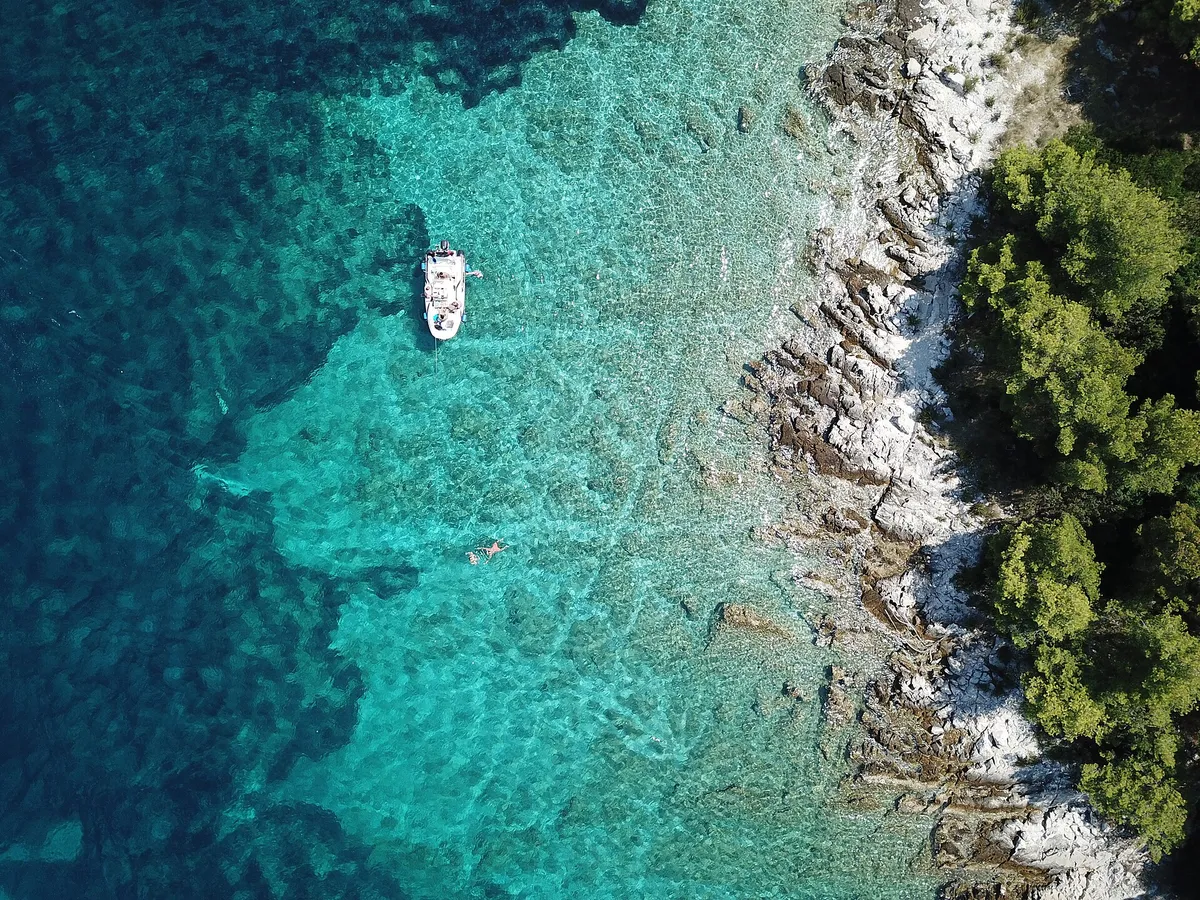
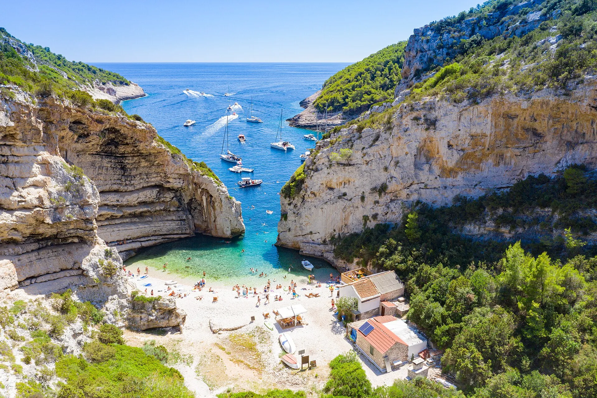
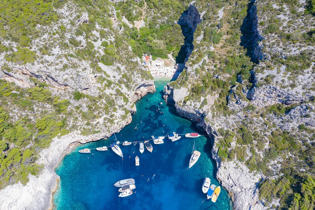
Yachts and motorboats anchored inside Stiniva cove, straight-down aerial

Swim stop on the south coast of Vis

Stiniva beach by boat

Stiniva is a pebble beach inside a narrow cove with high cliffs on the south coast of Vis, 8 NM (Measured by us, ) from Komiža. You can't take a boat in: in summer a line of floats closes the cove, so boats stop outside the mouth and the crew swim in. Go only in settled weather, because southerly winds send a strong surge into the cove.
8 NMfrom Komiža, about 1½ h (Measured by us, )
10.5 NMfrom Vis town (Measured by us, )
16.5 NMfrom Hvar town (Measured by us, )
1967protected since (Official source, )
Not for navigation

All 33 facts on this page name their source, the latest checked on : 2 from the operator, 16 from official sources, 6 measured by us and 9 from third-party sources, such as pilot books and magazines, so treat those 9 as a guide.

See every source

Written by Domagoj Franc, editor. Reviewed by Ivor Benko, skipper.

Published .

Boat access and anchoring at Stiniva

Can you take a boat into Stiniva? No, not in summer. Stop outside the mouth and swim in. (Official source, )

Into the cove
In summer a line of floats is laid across the cove. It protects the swimmers and keeps small boats out of the cove. (Official source, )
Anchoring
Anchoring in the cove isn't recommended. It is deep, and southerly winds send a strong surge into it. The cliffs block some of the bura, but it comes in strong gusts that can drag an anchor. (Official source, )Depth: Rock along both sides down to about 20 m, and a seagrass meadow down the middle of the cove from 10 m to 30 m deep. (Official source, ) The rules
Buoys
The Town of Vis spatial plan sets five anchorages with buoys: Stončica, Rukavac, Veli Budikovac, Ravnik and Ruda. Inside them you moor on a buoy, not on your own anchor. (Official source, ) Stiniva is not one of them, so there are no buoys to hire here.In 2019 the study proposed a buoy field of about 7,900 m² on the west side of the mouth, with no anchoring anywhere else in the cove. (Official source, )No concession for the proposed buoy field had been granted by 26 Sep 2026: the county's concession map shows no concession of any kind within 4.7 km of the cove. (Official source, )
The cove
The cove is about 600 m long and about 100 m wide at its mouth, between high cliffs, with a small pebble beach at its head. (Official source, )At the narrowest point the cliffs are only about 4 to 5 m apart. (Third-party source, )Mala Stiniva is a separate bay on the north coast of Hvar, not Stiniva on Vis. (Third-party source, )
On foot
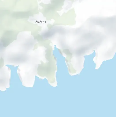
From the hamlet of Žužeca, the steep and at times very demanding path down takes more than 20 minutes. (Third-party source, )

The rules at Stiniva

Stiniva is a protected landscape with seagrass on its floor. Its beach counts as a natural beach, and no boat may anchor within 150 m (Official source, ) of a natural beach.

Protected
Stiniva cove has been protected as a significant landscape since 1967, over 15.28 ha. Its seabed is part of the Natura 2000 site for the sea round Vis (HR3000097), kept for its seagrass, reefs and sea caves. (Official source, )
Natural beach
No anchoring within 150 m of a natural beach, under the 2025 ordinance. (Official source, )In the Town of Vis, the spatial plan treats all the shore outside its building areas as natural beaches. (Official source, )The plan's land-use map shows no building area at Stiniva, so the cove's beach is a natural beach. (Official source, ) Anchoring near beaches
Near swimmers
Under way, keep clear of an organised beach's rope line: at least 50 m in a boat under 15 m, 100 m in a boat of 15 to 30 m, and 300 m at 30 m and over (Article 49). (Official source, ) Rope lines and lines ashore
Seagrass
Seagrass (Posidonia) is a strictly protected species in Croatia, and anchoring in its meadows badly damages it. Drop the anchor on sand. (Official source, )

Wind and sea at Stiniva

NNEESESSWWNW

Open to the south. Anchoring in the cove isn't recommended. It is deep, and southerly winds send a strong surge into it. The cliffs block some of the bura, but it comes in strong gusts that can drag an anchor. (Official source, )

OpenGustsShelteredWedges show where the wind blows from

Plan B. If a jugo or any southerly is forecast, skip Stiniva and the rest of the south coast of Vis, and swim on the north side of the island instead. Our guide to the winds explains the jugo and the bura.

Wind and sea, next 3 days

At the mouth of Stiniva cove, on the south coast of Vis. Don't stop here if a southerly is forecast.

Model forecast from Open-Meteo.Not an official forecast. Not for navigation.

Official forecast: DHMZ marine forecast (Official source, )

How to read this forecast

Each part of the day shows its strongest hourly wind and gust, and its highest wave, in Croatian time. The words follow the Beaufort scale, and the model can't tell a real bura from any other northeast wind. How to read a model forecast

Weather data by Open-Meteo.com, CC BY 4.0. Grouped into parts of the day by OlaSail.

When to go to Stiniva

Early, in settled weather. Stiniva is a day stop: there is nowhere to spend the night in the cove.

Tour boats
HvarBoats’ tour from Hvar stops at Stiniva from 11:40 to 12:40. (From the operator, )
On our route
Day 3 of our week from Split passes about 0.6 NM off the mouth, so a stop at Stiniva adds about 1 NM. (Measured by us, ) Day 3, Vis town to Komiža
From Rukavac
About 2.5 NM from Rukavac, west along the south coast. (Measured by us, ) A night on the buoys there puts you at Stiniva before the tour boats.

Where to spend the night near Stiniva

Distances by sea from the mouth of Stiniva, measured with our route tool and rounded (Measured by us, ). Times at 6 knots, or at your own speed if you set one on the route page.

Not for navigation
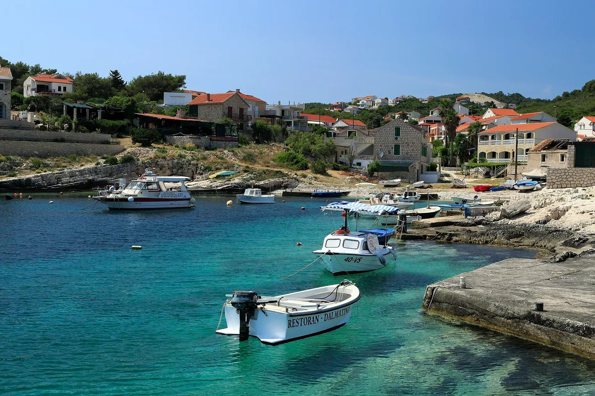
Small local boats in the clear turquoise bay at RukavacPhoto: “J32 450 Rukavac” by Falk2, CC BY-SA 4.0, resized

Rukavac buoys

Rukavac is sheltered from every wind except south to south-easterlies. Our cautious answer: leave Rukavac if a jugo is forecast, and mind the shallows in the west part. Our skipper reviewer hasn't checked this yet. (Third-party source, ) €60 a day on a buoy in 2026, VAT included, paid in cash when you arrive. (From the operator, )
2.5 NM (Measured by us, )about ½ h
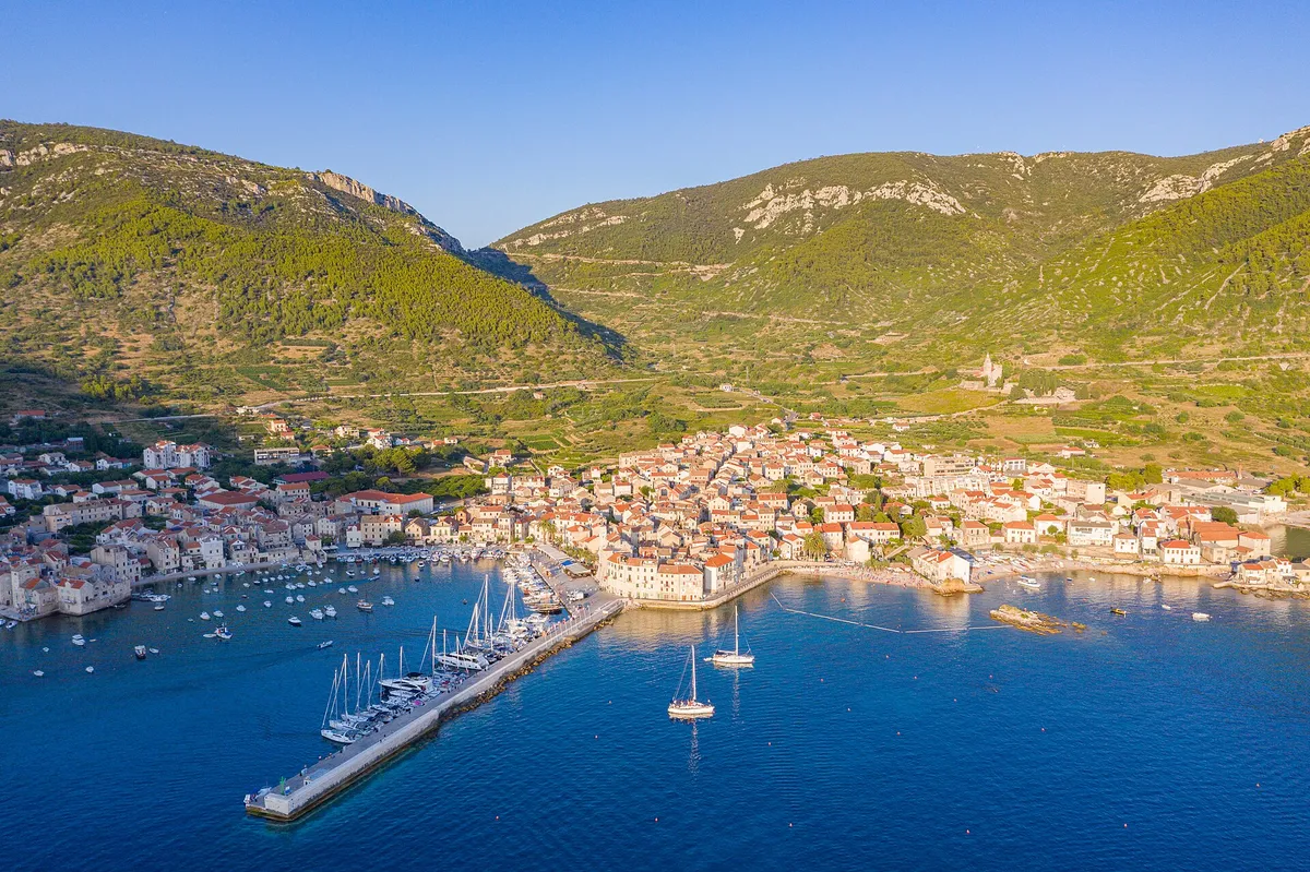
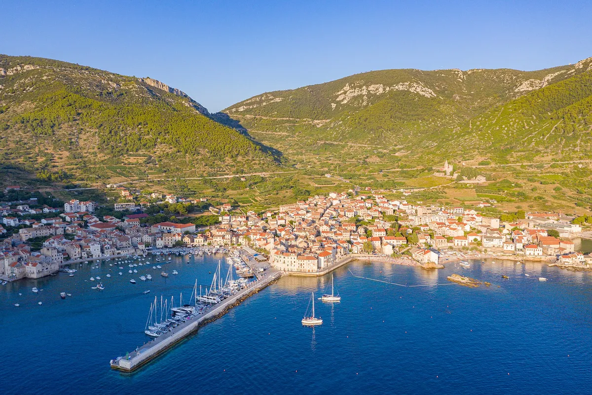
Aerial of Komiža harbour and town, yachts on the pier and at anchor, hills behindPhoto: “Aerial view of Komiza Town Harbour on Vis island, Croatia” by dronepicr, CC BY 2.0, cropped and resized

Komiža harbour

Komiža bay is open to the west and south-west, and these winds raise high waves in it  (Third-party source, ). Berths inside the breakwater are sheltered  (Third-party source, ). Its buoys lie close together, are open to westerlies, and take swell in any wind with south in it. A bura blows across them in shifting gusts but raises no waves.  (Third-party source, ) Our cautious answer: if a westerly, south-westerly or thunderstorm is forecast, lie inside the breakwater or go round to Vis town. Our skipper reviewer hasn't checked this yet. Komiža is a class I.B county port: €5 a metre a day for a boat of 10.01 to 15 m, so €60 for a 12 m boat, all year. (Official source, )

8 NM (Measured by us, )about 1½ h, round the west end
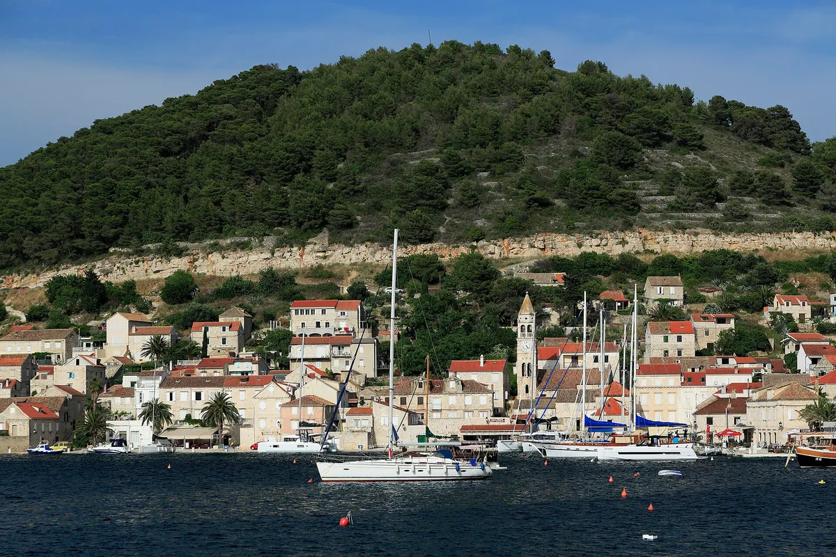
Kut waterfront in Vis town with yachts and gulets moored and a yacht on a buoy in frontPhoto: “J32 421 Vis-Stadt, Lučica” by Falk2, CC BY-SA 4.0, resized

Vis town harbour

Vis harbour is open to the bura and the jugo, and every wind blows hard here, the bura and the jugo most of all. Our cautious answer: in a bura or a jugo expect a rough night on the town quay, and strong gusts in any other wind. Our skipper reviewer hasn't checked this yet. The Kut side is open to northerly and north-westerly winds.  (Third-party source, ) Our cautious answer: in a strong maestral expect Kut to be the more exposed side. Our skipper reviewer hasn't checked this yet. (Third-party source, ) Vis town harbour is a class I.B county port: €5 a metre a day for a boat of 10.01 to 15 m, so €60 for a 12 m boat on the town quay, all year. (Official source, )

10.5 NM (Measured by us, )about 2 h, round the east end

Help keep this page right

Sailed here this season? Tell us what you found. We check it with the source before anything changes.

Other ways to help

Photos on this page

  • Sailing yachts anchored off the mouth of Stiniva cove, aerial with open sea and horizonStiniva Bay, south coast of Vis. Photo: “Aerial view of the Adriatic Sea at Stiniva Bay on Vis island in Croatia” by dronepicr, CC BY 2.0, cropped and resized
  • Yachts and motorboats anchored inside Stiniva cove, straight-down aerialStiniva Bay, south coast of Vis. Photo: “Luftbild von der Bucht Stiniva auf der Insel Vis in Kroatien” by dronepicr, CC BY 2.0, cropped and resized
  • Small local boats in the clear turquoise bay at RukavacRukavac, south coast of Vis. Photo: “J32 450 Rukavac” by Falk2, CC BY-SA 4.0, resized
  • Aerial of Komiža harbour and town, yachts on the pier and at anchor, hills behindKomiža, island of Vis. Photo: “Aerial view of Komiza Town Harbour on Vis island, Croatia” by dronepicr, CC BY 2.0, cropped and resized
  • Kut waterfront in Vis town with yachts and gulets moored and a yacht on a buoy in frontKut, Vis town, island of Vis. Photo: “J32 421 Vis-Stadt, Lučica” by Falk2, CC BY-SA 4.0, resized
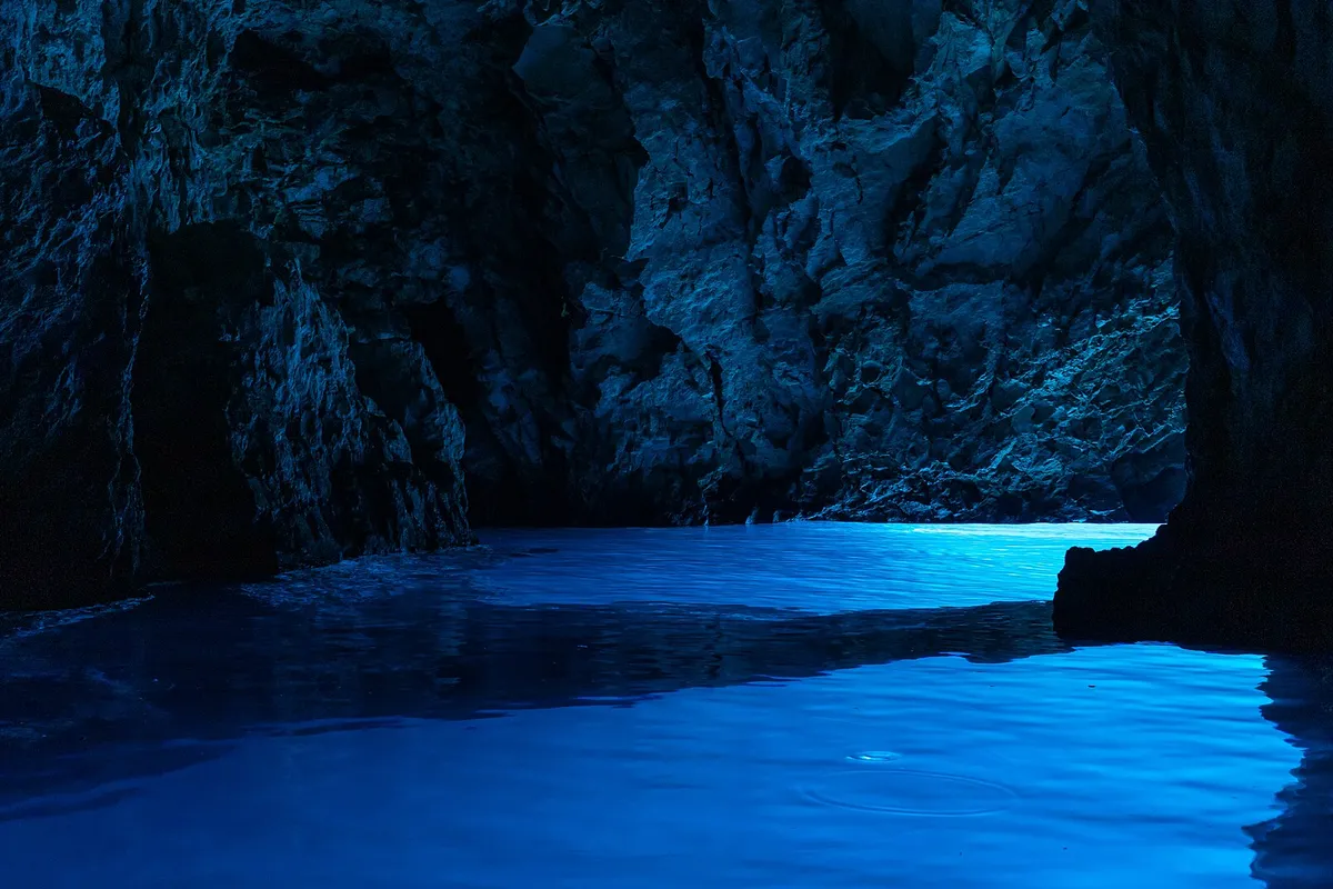
  • Light glowing blue on the water inside the Blue Cave (Modra špilja)Blue Cave, Biševo, near Komiža. Photo: “Biševo - Blue Cave - 2021-07-30 11-56-09 2642” by Pierre-Selim Huard, CC BY 4.0, cropped and resized

Nearby

8 NM (Measured by us, )from Komiža

Open in a map app