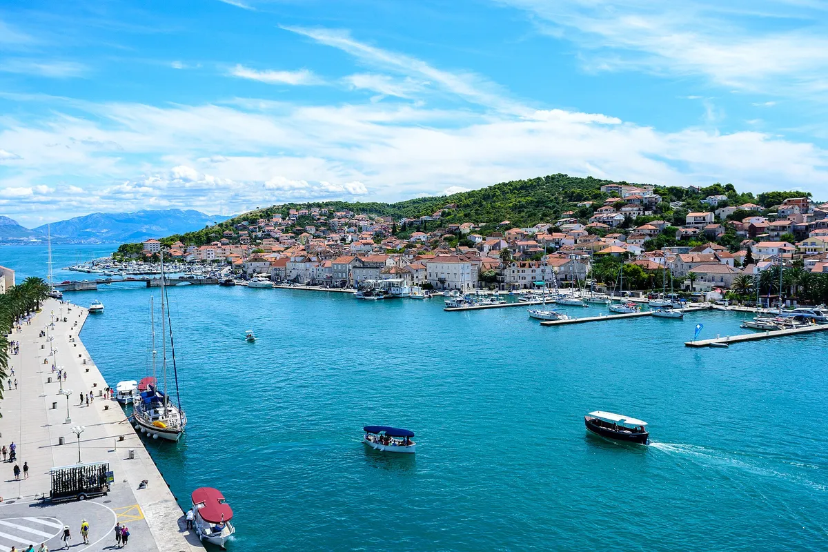
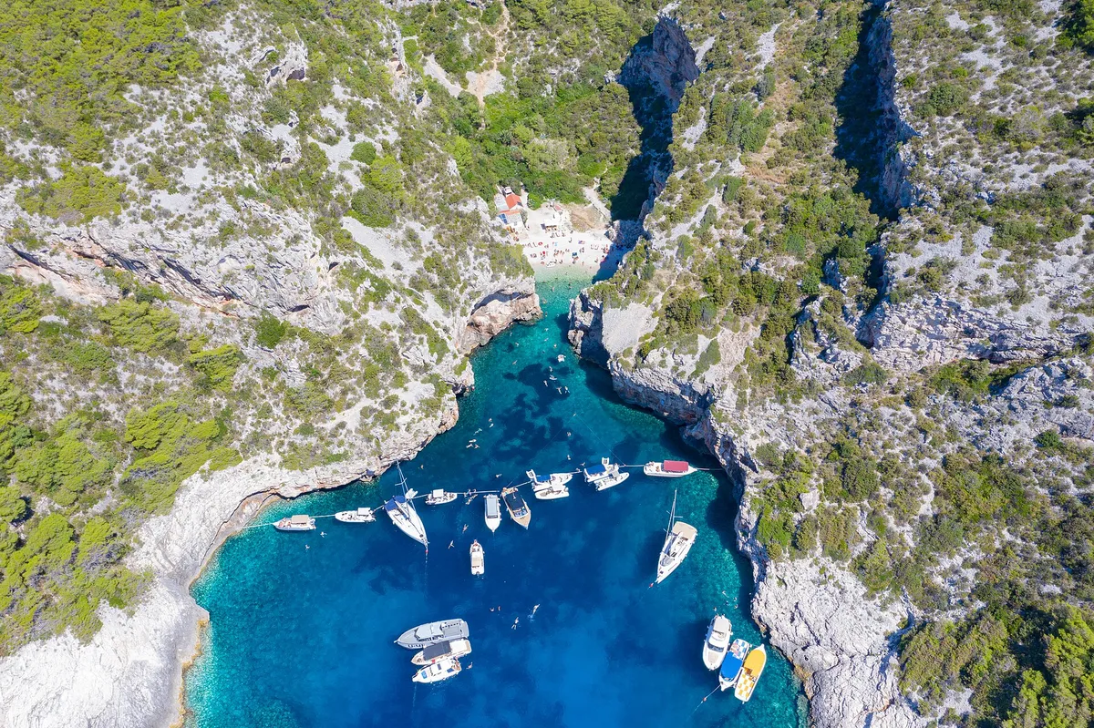
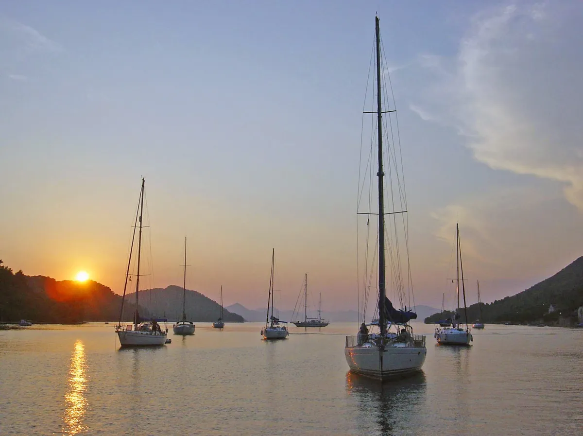
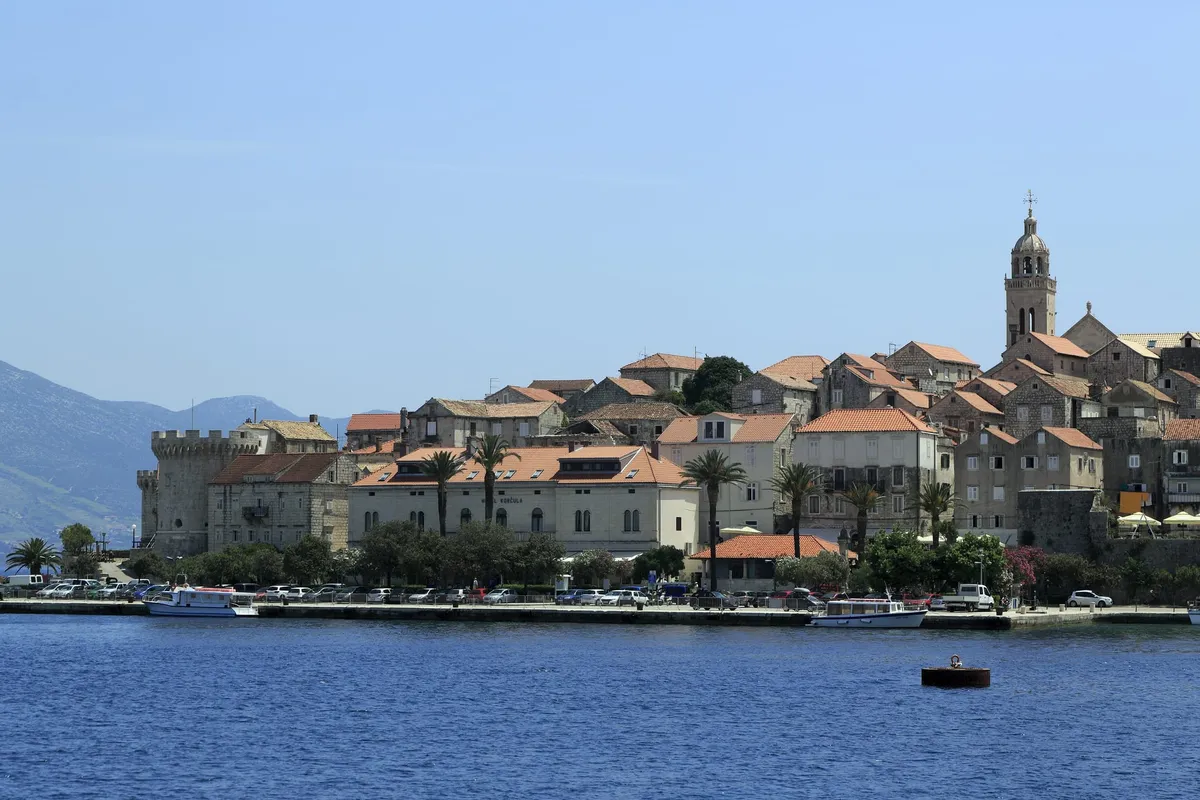
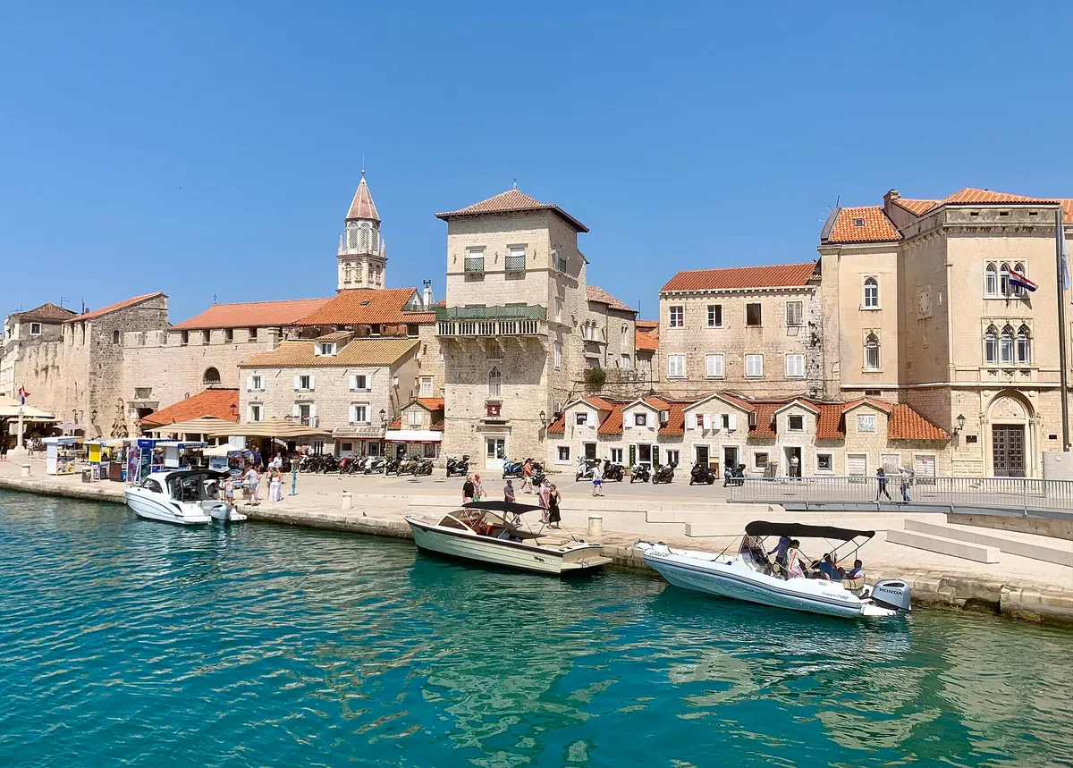
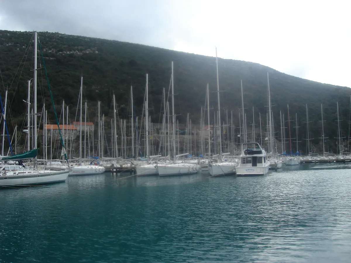
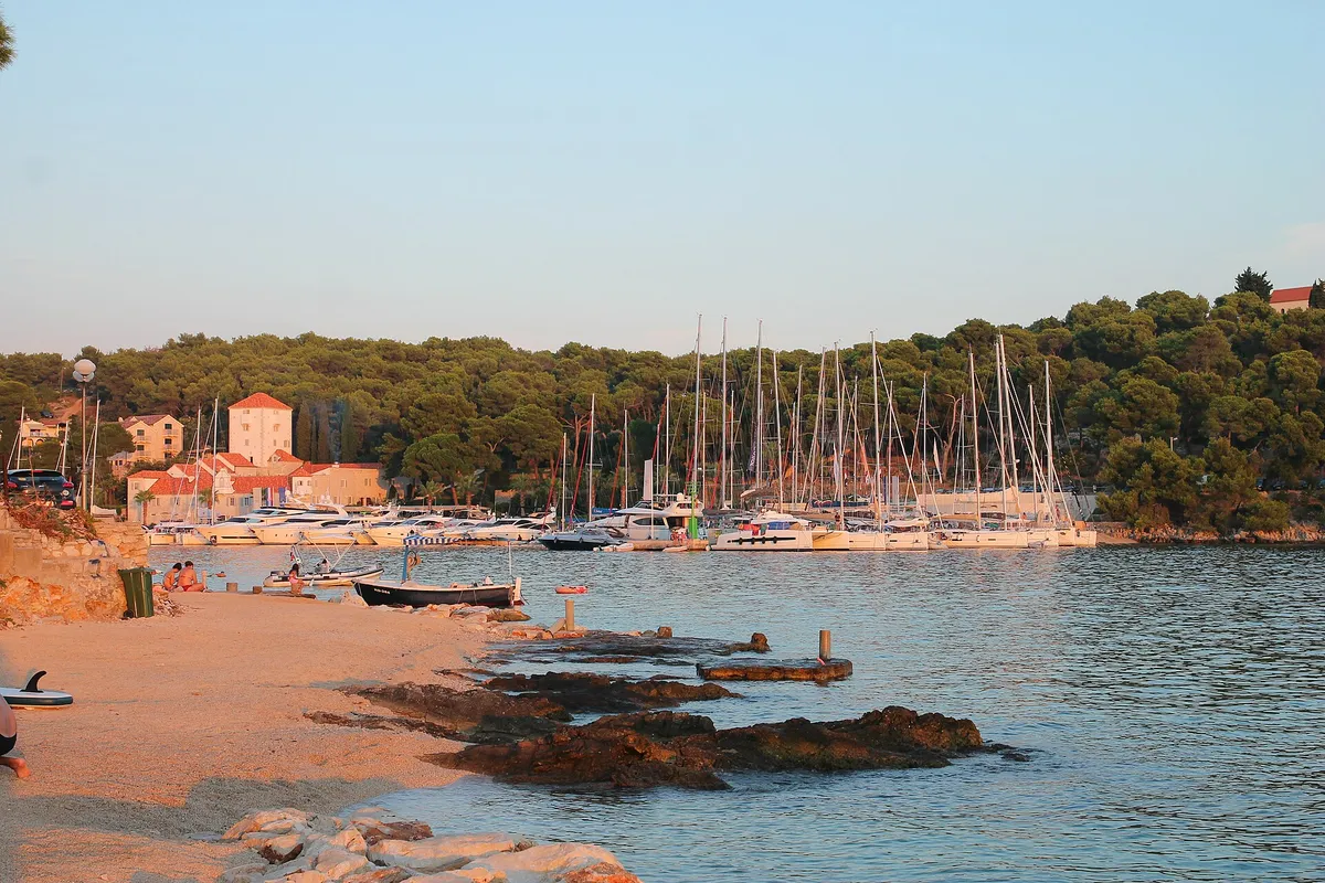
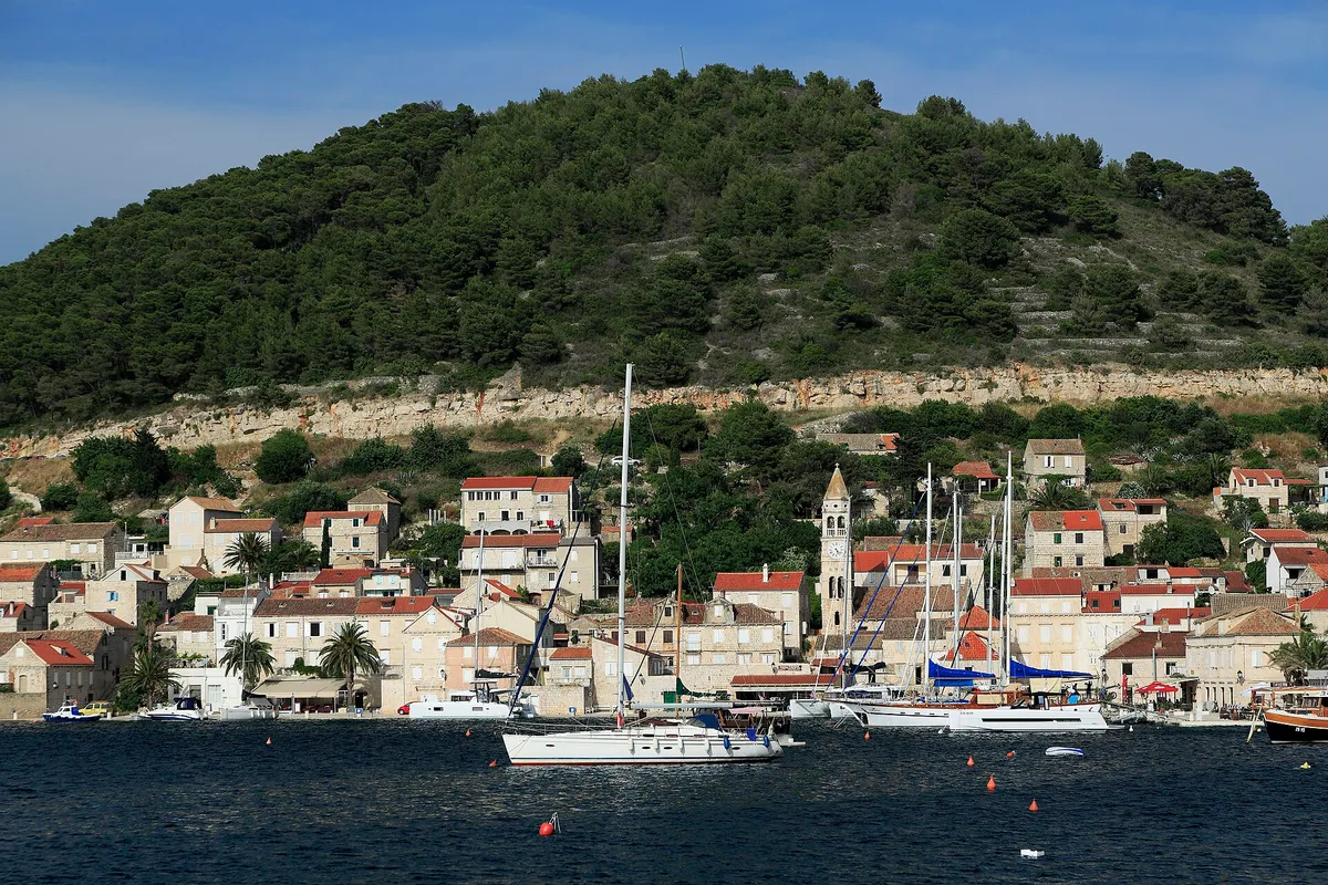
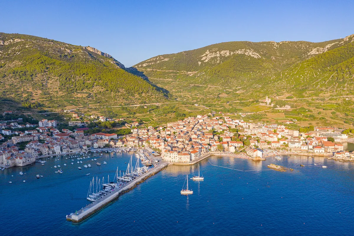
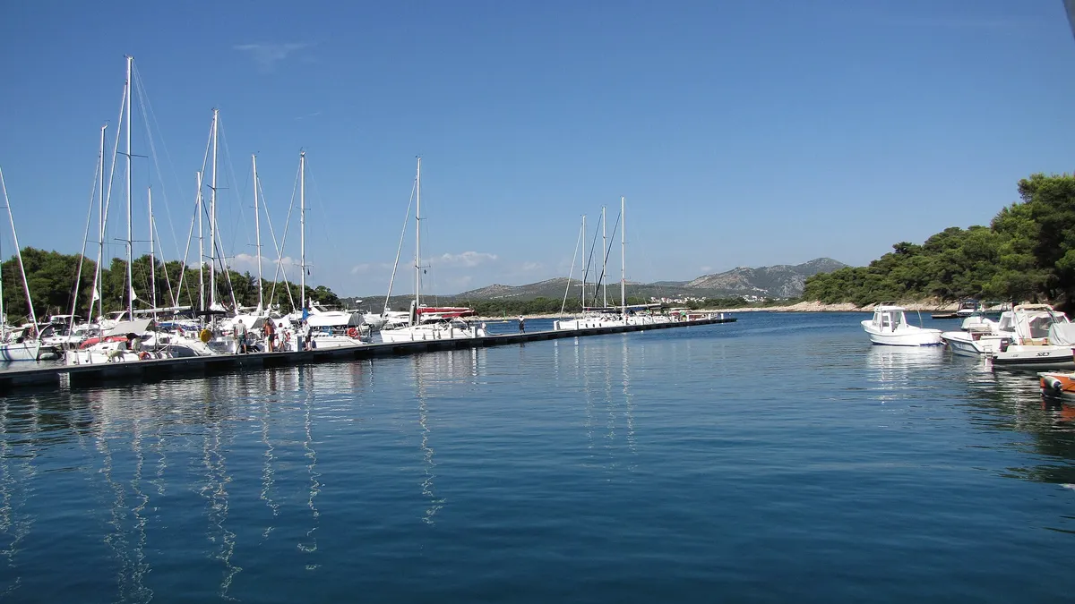
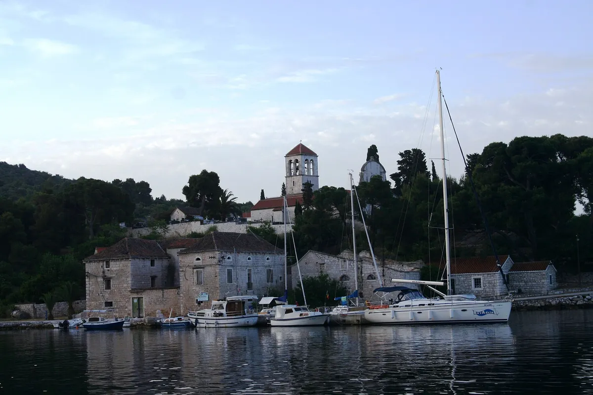
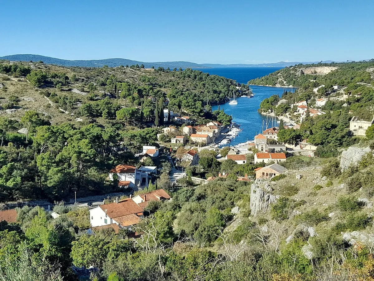
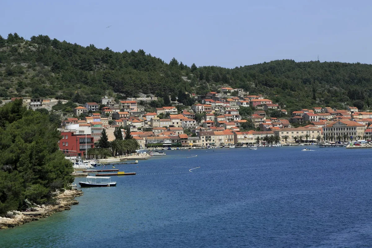
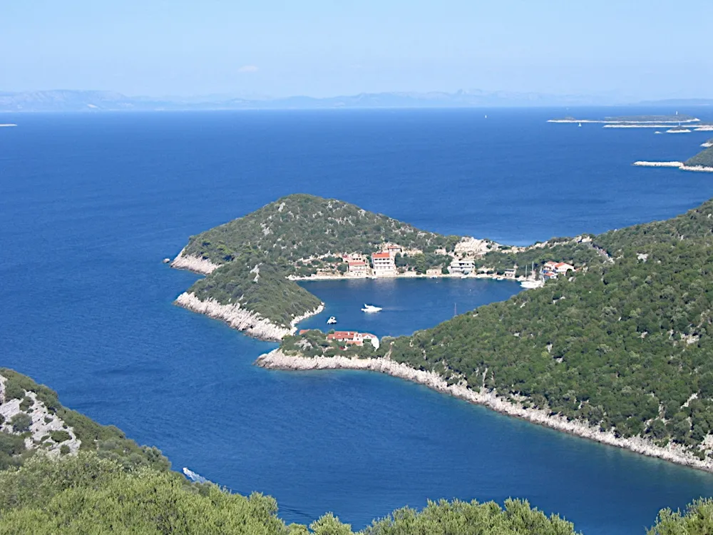
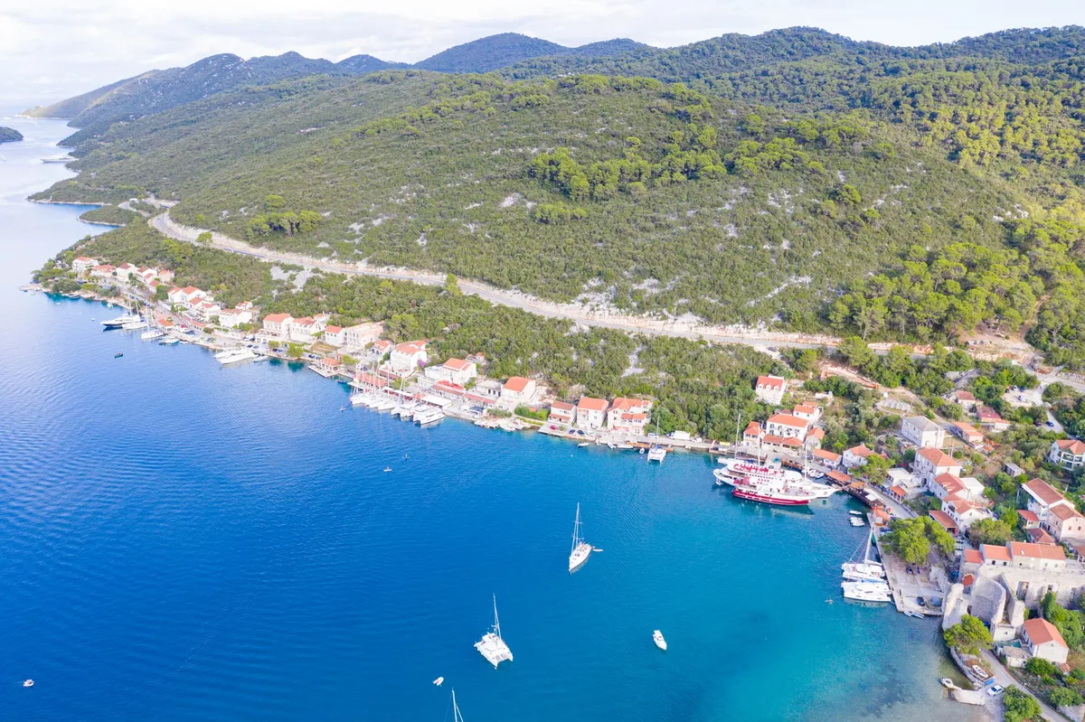
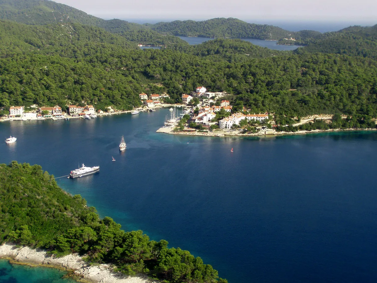
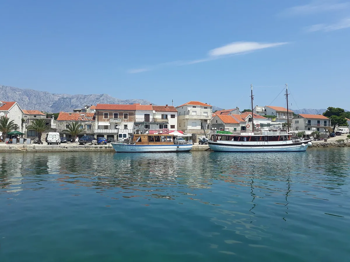
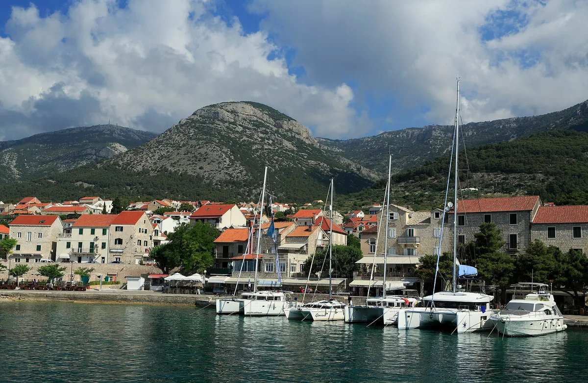
Photo: “Aerial view of Komiza Town Harbour on Vis island, Croatia” by dronepicr, CC BY 2.0, resized
One and two-week routes, day by day
Croatia sailing itineraries
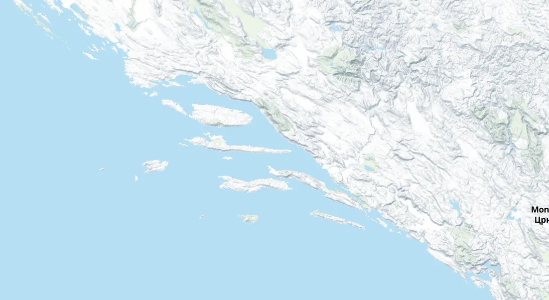
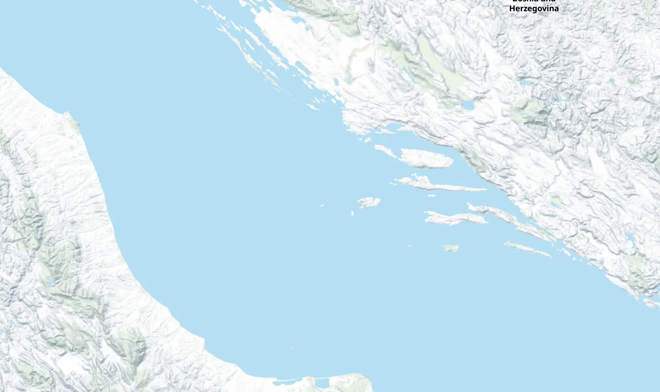
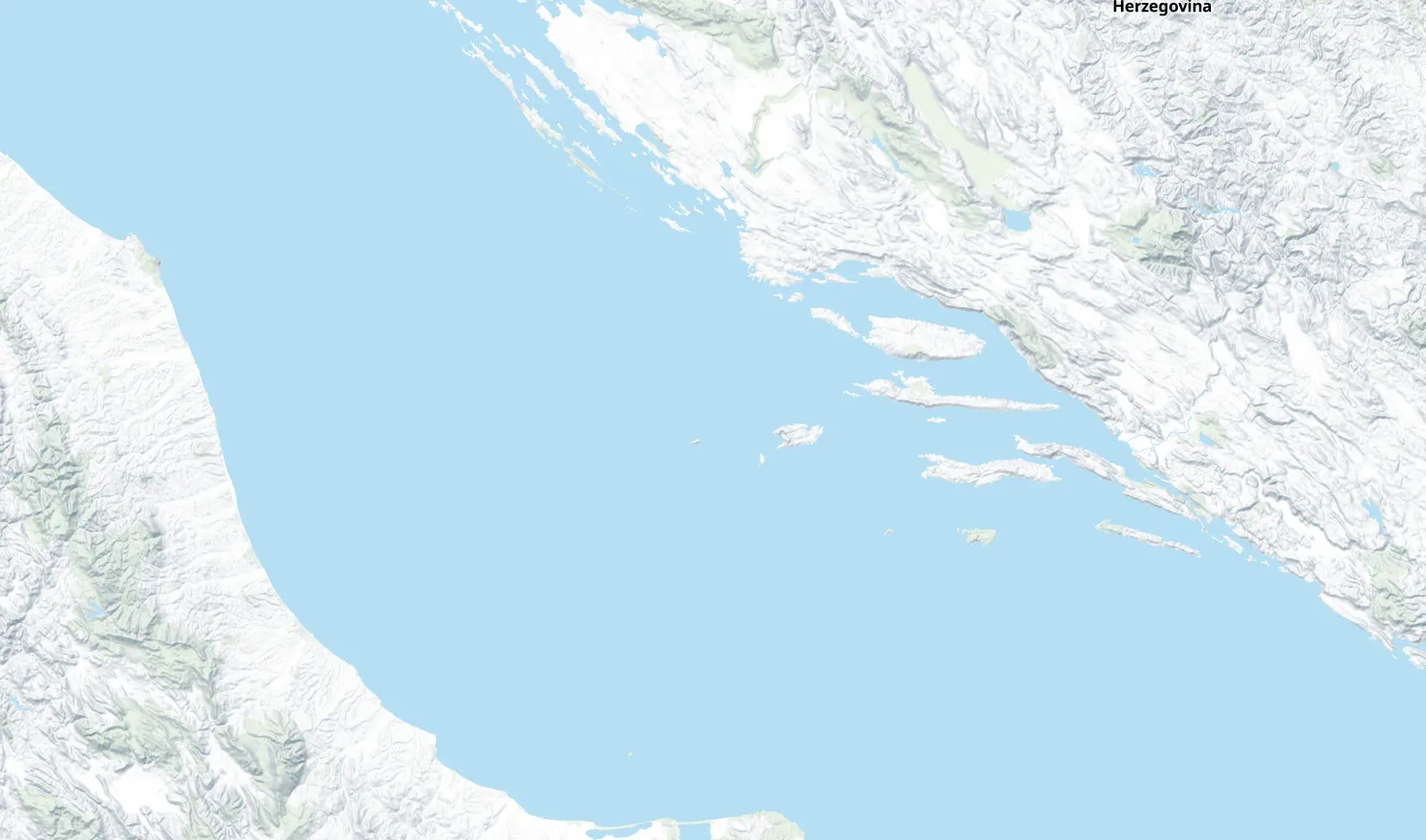
Our island-hopping routes start in Central Dalmatia. The one-week routes stay in Central Dalmatia or continue one way to Dubrovnik; the two-week loop reaches Korčula, Lastovo, Mljet and Šipan before returning to Split. The easier Trogir week stays closer to shore. With our starting figures, a week costs about €1,130 to €3,100 a guest for a crew of 6, from anchoring and cooking aboard to marinas, restaurants and a catamaran with a skipper.
A Saturday to Saturday charter week out to Vis and back through the Pakleni Islands, Hvar and Brač, with a price, a source and a Plan B for every night.
LevelIntermediate. Two open crossings, the longest about 17 NM from Šolta to Vis. First crews: settled weather, or take a skipper.
Open crossingsTwo open crossings, measured land to land: about 17 NM from Šolta out to Vis on day 2, and about 11 NM from Vis back to the Pakleni Islands on day 4. (Measured by us, )
Longest day28 NM, day 4, about 4½ h (Measured by us, )
Short hops of 3 to 14 NM between Trogir, Šolta and Brač, with land close by all week, for a first charter or a young crew. You tie up by mid-afternoon.
LevelFirst week. Short days, never more than 3 NM from land, but day 3 runs along Šolta's exposed south coast: settled summer weather only.
Open crossingsNo open-sea crossing: the line never runs more than 3 NM from land. Day 3 follows Šolta's south coast, which is open to the south, south-west and west. (Measured by us, )
Longest day14 NM, day 3, about 2½ h (Measured by us, )
A one-way week from Split to Dubrovnik through the Pakleni Islands, Vis, Korčula, Lastovo, Mljet and Šipan, with open-water legs between the southern islands.
LevelFor experienced crews: open crossings on five of the seven days, the longest open crossing about 17 NM. Open crossings on five of the seven days, the longest about 17 NM land to land, from Vis to Vela Luka on day 3.
Open crossingsOpen crossings on five days, measured land to land: about 7 NM from Brač's west end to the Pakleni Islands on day 1, 7 NM from Palmižana to Vis on day 2, 17 NM from Vis to Vela Luka on day 3, 11 NM to Lastovo on day 4, and 14 NM from Lastovo to Mljet on day 5. (Measured by us, )
Longest day26 NM, day 3, about 4½ h (Measured by us, )
A nightFrom €60 at Polače quay (Official source, ) to €153.40 at ACI Marina Dubrovnik (From the operator, )
Two weeks from Split and back: out through Vis, Korčula, Lastovo, Mljet and Šipan, home by Hvar, Brač and Šolta.
LevelFor experienced crews: open crossings on seven of the fourteen days, the longest open crossing about 17 NM. Open crossings on seven of the fourteen days, the longest about 17 NM land to land, from Vis to Vela Luka on day 3.
Open crossingsOpen crossings on seven days, measured land to land: about 7 NM on day 1, 7 NM to Vis on day 2, 17 NM from Vis to Vela Luka on day 3, 10 NM to Lastovo on day 5, 14 NM from Lastovo to Mljet on day 6, 9 NM from Pomena to Korčula on day 9, and 7 NM to Sućuraj on day 10. (Measured by us, )
Longest day30 NM, day 4, about 5 h (Measured by us, )
For experienced crews: open crossings on five of the seven days, the longest open crossing about 17 NMOpen crossings on five of the seven days, the longest about 17 NM land to land, from Vis to Vela Luka on day 3
€850 to €3,450crew of 6, Budget to High, before the boat
For experienced crews: open crossings on seven of the fourteen days, the longest open crossing about 17 NMOpen crossings on seven of the fourteen days, the longest about 17 NM land to land, from Vis to Vela Luka on day 3
How far a day? The seven days from Split average about 18 NM a day, about 3 h at 6 knots. The easy first week averages about 9 NM, about 1½ h.
A week covers the Split loop of 123 NM (Measured by us, ), the shorter Trogir loop, or the one-way Split to Dubrovnik route of 148 NM (Measured by us, ). The two-week Split loop continues through Korčula, Lastovo and Mljet before returning by Hvar, Brač and Šolta.
A guest's share is for a crew of 6, in the same three styles as each route's page. Budget anchors where our sources name an anchorage, never two nights running, and cooks aboard; Middle is our planned nights with dinner ashore, and High is the dearest berths, meals out and a catamaran with a skipper. The Split to Dubrovnik figures include the one-way fee, and the two-week loop is priced before the boat, because we have no list price for a two-week boat. What a week's sailing costs explains each cost, and where to stay the night compares marinas, town quays, buoys and anchorages.
operator (From the operator) official (Official source) seen by us (Seen by us) by a sailor (Seen by a sailor) measured (Measured by us) disputed (Sources disagree) third party (Third-party source) How we check
How we build a route
Every route has measured legs, a place for each night and a Plan B for the wind.
1
We plan it on the chart
We measure each leg along a planning line drawn by our route tool, then pick a place for each night and a Plan B for the wind. Clearance from land varies near the coast, in channels and on harbour approaches. These lines do not account for every depth, obstruction, weather condition or traffic rule. Use official charts for navigation.
Our rule: the open crossings, measured land to land, set a route's level. First week: no open crossing. Intermediate: open crossings on at most two days, none over 20 NM. Experienced crews: an open crossing over 20 NM, or open crossings on three days or more.
2
Sailed and checked by Ivor Benko
Ivor has sailed every route shown here. Each route page also shows the sources for its distances, stops and conditions.
3
We check it each season
Prices, berths and rules change. Every night shows its source and the date we last checked it, and the route lists every change we make.
ACI Marina Dubrovnik price list for 2026, Daily wet berth: up to 12 m, 1 Jul to 31 Aug €118; Friday and Saturday +30% (ACI Dubrovnik: a Friday night in ACI Marina Dubrovnik)
Our route tool: our planning line by sea, with varying clearance near the coast and harbour approaches, along our planned line (drawn 26 Sep 2026; day 3 through Tatinja, joined from the solver's legs, on 5 Oct 2026) (Distances and hours for every day, the longest day)
(Measured by us, )
Our route tool: our planning line by sea, with varying clearance near the coast and harbour approaches (Distances and hours for the Split to Dubrovnik route in South Dalmatia, the longest day on the Split to Dubrovnik route in South Dalmatia, distances and hours for the two-week route from Split in South Dalmatia, the longest day on the two-week route from Split in South Dalmatia)
(Measured by us, )
Our route tool, along our planned line (redrawn 25 Sep 2026; days 3, 6 and 7 through our plan's stops, joined from the solver's legs of 26 Sep 2026, on 5 Oct 2026) (Distances and hours for every day)
(Measured by us, )
Our coastline analysis of the route's line: an open crossing is a stretch more than 0.5 NM from land, with at least 1 NM more than 2 NM from land and 20 NM or more of open sea beside it; its length is measured land to land (Open crossings, open-water legs on the Split to Dubrovnik route in South Dalmatia, open-water legs on the two-week route from Split in South Dalmatia)
(Measured by us, )
Our route tool, along our planned line (The longest day)
(Measured by us, )
Photos on this page
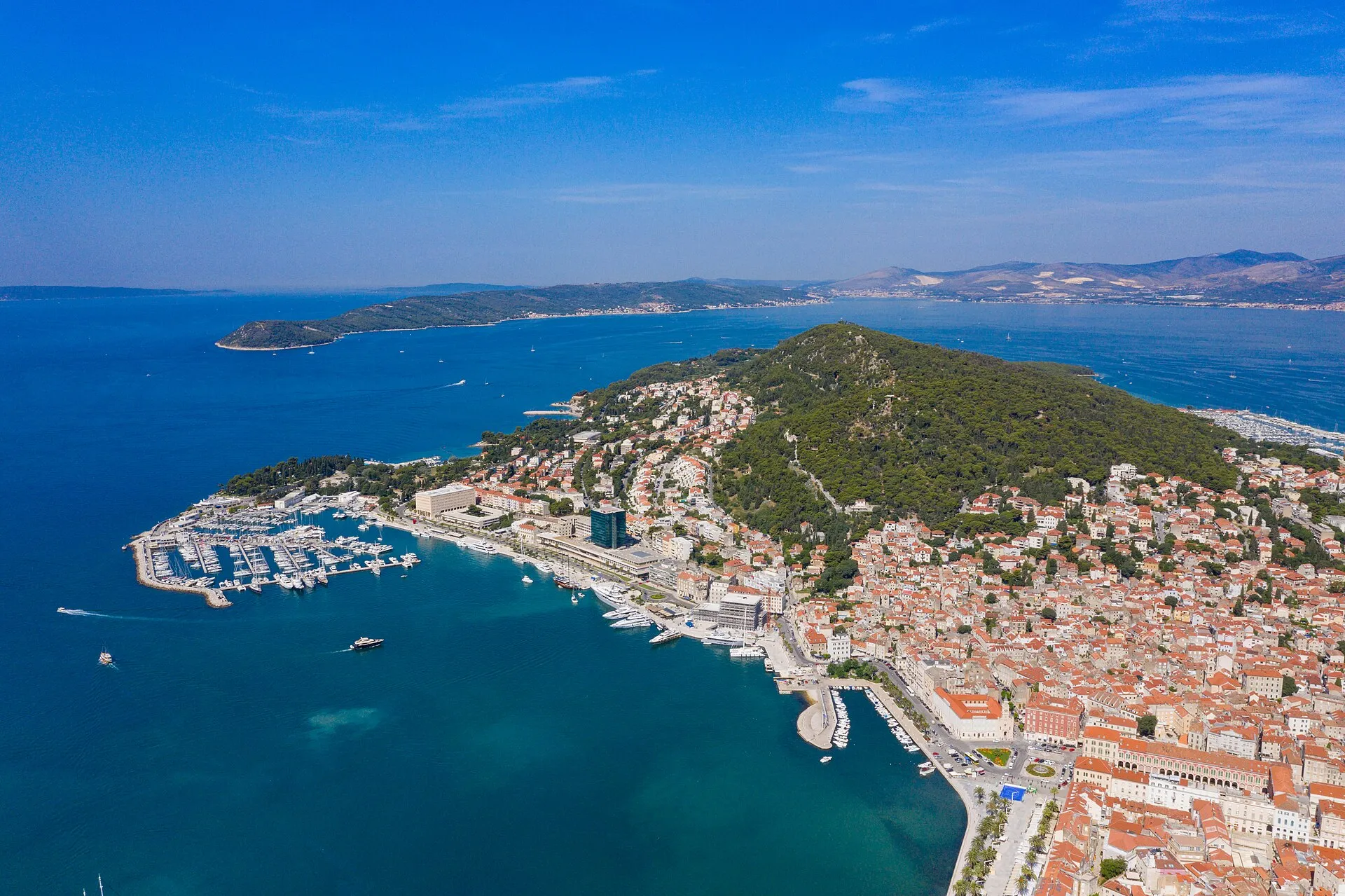
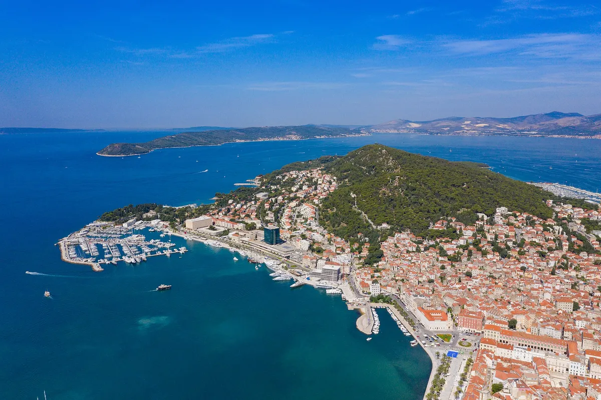
Split. Photo: “Aerial view of Marina Split in Croatia” by dronepicr, CC BY 2.0, resized