Skip to content
OlaSailSearch
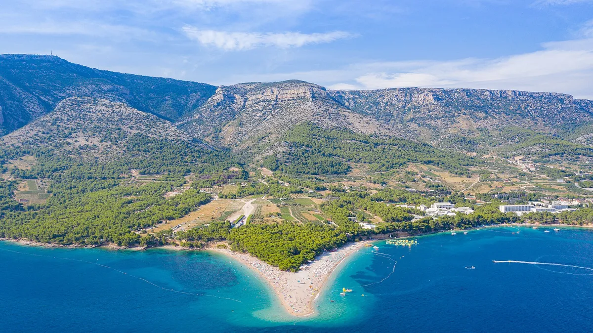
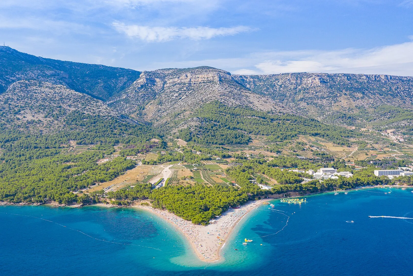
Aerial of Zlatni rat beach at Bol with Vidova Gora mountain behindPhoto: “Luftbild vom Strand Zlatni rat mit Blick auf den Berg Vidova Gora in Bol, Kroatien” by dronepicr, CC BY 2.0, cropped and resized
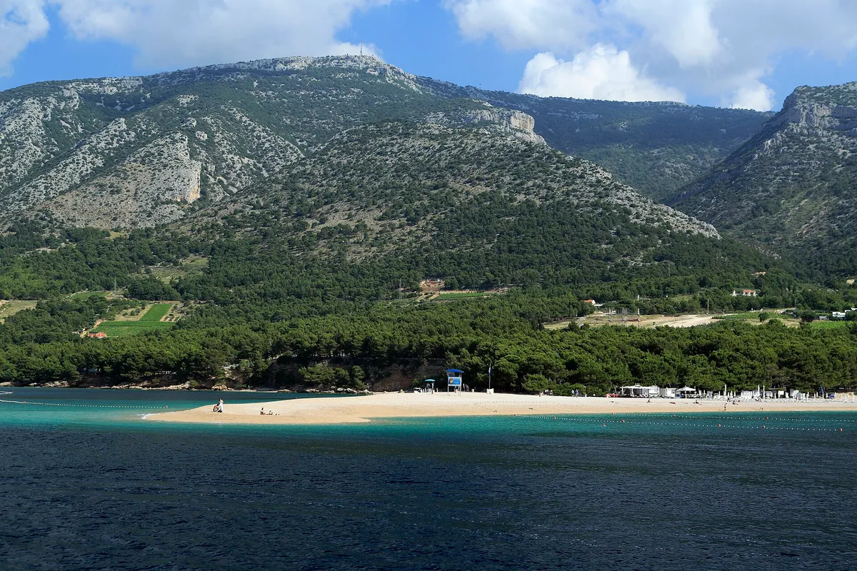
The Zlatni Rat beach spit seen from the sea, with pine woods and Vidova Gora rising behind.
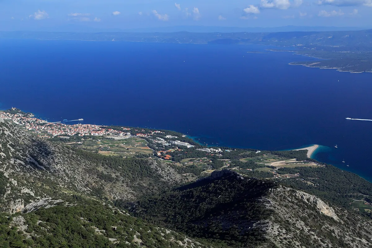
The view from Vidova Gora down to Bol and the Zlatni Rat spit, across the Hvar channel to Hvar island.

Beach and swim stop by Bol, on Brač

Zlatni Rat from your own boat

Zlatni Rat is the pebble spit just west of Bol, on the south coast of Brač, and a line of buoys closes its beach to boats. In season boats anchor off either side, outside that line: the east side in the afternoon maestral, the west side in a jugo. Keep off the seagrass and the cable on the east side, and spend the night in Bol harbour, 1 NM (Measured by us, ) away.

22.5 NMfrom Split, about 4 h (Measured by us, )
14 NMfrom Milna (Measured by us, )
16.5 NMfrom Hvar town (Measured by us, )
1 NMfrom Bol harbour (Measured by us, )
Not for navigation

All 28 facts on this page name their source, the latest checked on : 2 from the operator, 18 from official sources, 7 measured by us and 1 from a third-party source, such as a pilot book or a magazine, so treat that one as a guide.

See every source

Written by Domagoj Franc, editor. Reviewed by Ivor Benko, skipper.

Published .

Boat access and anchoring at Zlatni Rat

Can you anchor off Zlatni Rat? In settled weather, outside the swimming line, on the side away from the wind. (Official source, )

Which side
In season 20 to 30 boats a day anchor off the two sides of the spit: on the east side, in Potočine bay, in a maestral, and on the west side, in Paklina bay, in a jugo. (Official source, )
Swimmers
The beach is closed off for swimmers by a line of buoys. (Official source, )
The bottom
Pebbles close in, then seagrass down the slope to 26 m on the east side. On the west side the seagrass is broken by patches of sand, gravel and reef. (Official source, ) Drop the anchor on sand, not in the seagrass.
Pipe and cable
On the east side, off the Hotel Bretanida, a pipe and cable run out to sea, with a sign that bans anchoring. (Official source, )
Buoys
There is no buoy field: the study found only a few concrete blocks laid without a concession, and advised leaving Zlatni Rat out of the county's anchorages. (Official source, )
Fast boats
The fast boats on the Split, Bol and Jelsa line pass close by. About 300 m off the tip a yellow buoy with a light is passed on its south side. (Official source, )
From Bol
A boat line runs from the centre of Bol to a pontoon at the start of the beach in Potočine bay, about every 15 minutes with up to 40 people, and half as often after 4 pm. (Official source, )
The spit
Zlatni Rat is a pebble spit on the south coast of Brač, just west of Bol. It changes shape and position with the wind. (Official source, )

The rules at Zlatni Rat

Keep outside the swimming line and off the seagrass. The spit is a protected landscape and the sea round it a Natura 2000 site.

Protected
The spit and its beach lie inside the Zlatni Rat significant landscape (register number 147). The sea round it is the Natura 2000 site HR3000120, kept for its sand and seagrass. (Official source, )
Near swimmers
Under way, keep clear of an organised beach's rope line: at least 50 m in a boat under 15 m, 100 m in a boat of 15 to 30 m, and 300 m at 30 m and over (Article 49). (Official source, ) Rope lines and lines ashore
Natural beaches
No anchoring within 150 m of a natural beach, under the 2025 ordinance. (Official source, ) Anchoring near beaches
Pipe and cable
Keep your swinging circle clear of underwater cables, pipes and outfalls (Article 53). (Official source, ) Where anchoring is forbidden
Seagrass
Seagrass (Posidonia) is a strictly protected species in Croatia, and anchoring in its meadows badly damages it. Drop the anchor on sand. (Official source, )

Wind and sea at Zlatni Rat

NNEESESSWWNW

Settled weather only. Open to the bura, and above all to southerly and south-westerly winds, which raise a rough sea. The spit juts into the narrowest part of the Hvar channel, so north-westerly, westerly and south-westerly winds blow harder round it. In a maestral boats anchor off the east side of the spit, and in a jugo off the west side. (Official source, )

OpenStronger hereShelteredWedges show where the wind blows from

Plan B. If a southerly or a bura is forecast, don't stop off the spit. Take a berth in Bol harbour and walk to the beach, or go on to Milna. Our guide to the winds explains the maestral, the jugo and the bura.

Wind and sea, next 3 days

Off the tip of Zlatni Rat, in the Hvar channel.

Model forecast from Open-Meteo.Not an official forecast. Not for navigation.

Official forecast: DHMZ marine forecast (Official source, )

How to read this forecast

Each part of the day shows its strongest hourly wind and gust, and its highest wave, in Croatian time. The words follow the Beaufort scale, and the model can't tell a real bura from any other northeast wind. How to read a model forecast

Weather data by Open-Meteo.com, CC BY 4.0. Grouped into parts of the day by OlaSail.

When to go to Zlatni Rat

In the morning, before the afternoon maestral fills in. Later in the day, a berth in Bol harbour and a walk along the seafront is the calmer way to the beach.

Boats from Bol
A boat line runs from the centre of Bol to a pontoon at the start of the beach in Potočine bay, about every 15 minutes with up to 40 people, and half as often after 4 pm. (Official source, )
On our route
By way of Zlatni Rat, day 6 of our week from Split, Stari Grad to Milna, is about 24 NM instead of 15 NM. (Measured by us, ) Day 6, Stari Grad to Milna
From Stari Grad
About 10 NM from Stari Grad, out of its long bay and across the Hvar channel, about 1½ h at 6 knots. (Measured by us, )

Where to spend the night near Zlatni Rat
Distances by sea from the tip of Zlatni Rat, measured with our route tool and rounded (Measured by us, ). Times at 6 knots, or at your own speed if you set one on the route page.

Not for navigation
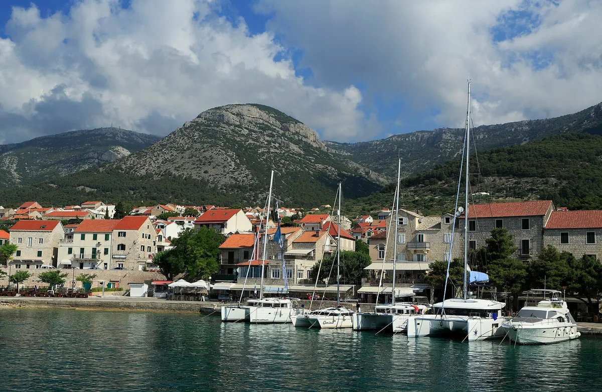
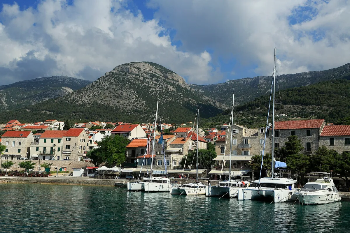
Charter catamarans and yachts moored stern-to on the town quay at Bol, seen from a boat leaving the harbour, with Vidova Gora and Velike Koštilo behind.Photo: “J32 688 Hafen Bol” by Falk2, CC BY-SA 4.0, cropped and resized

Bol harbour

Bol is sheltered from every wind except the south-west, which raises waves. The new quay east of the harbour is open to the sea, and its berths take ferry wash and onshore wind and swell. Our cautious answer: don't lie on the Bol quay in a jugo or any southerly. Our skipper reviewer hasn't checked this yet. (Third-party source, ) Bol is a class I.B county port: €5 a metre a day for a boat of 10.01 to 15 m, so €60 for a 12 m boat, all year. (Official source, ) The port authority lists 74 m of quay in Bol, and in town shops, a clinic, a post office, a cash machine and a fuel pump for boats. Its staff in Bol answer on +385 91 737 4014. (Official source, )

1 NM (Measured by us, )about ½ h
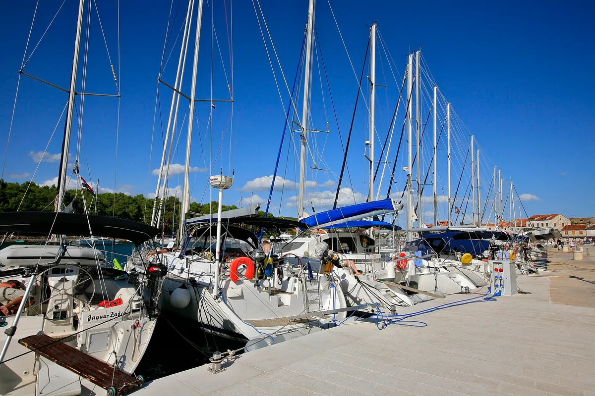
Visiting yachts moored stern-to along the town quay in Stari Grad, their passerelles down onto the stone quay, with the water and power posts along its edgePhoto: “Yacht Line Up, Stari Grad - Hvar Island” by Alex Proimos from Sydney, Australia, CC BY 2.0, resized

Stari Grad, Hvar

A town quay at the end of a long bay, across the Hvar channel. Stari Grad is a class I.B county port: €5 a metre a day for a boat of 10.01 to 15 m, so €60 for a 12 m boat on the town quay, all year. (Official source, )
10 NM (Measured by us, )about 1½ h
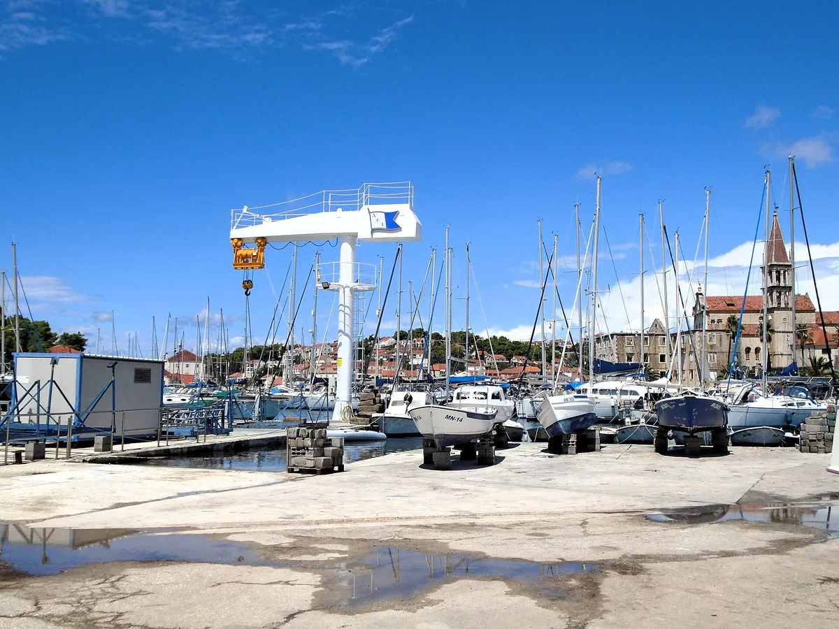
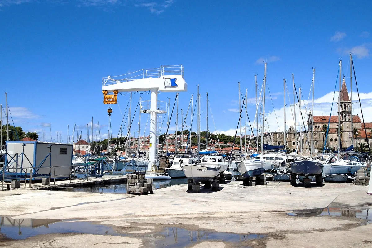
ACI Marina Milna at the head of Milna bay: yachts on the pontoons, boats on the hardstanding by the marina crane, and the bell tower of Milna church behindPhoto: “Milna - ACI marina” by Silverije, CC BY-SA 4.0, cropped and resized

ACI Marina Milna

Milna is the largest and best-protected bay on the west coast of Brač, sheltered from all winds, ACI says. (From the operator, ) €128 a day for a 12 m boat in July and August in ACI Marina Milna. A catamaran pays twice from 1 Jun to 30 Sep. (From the operator, )

14 NM (Measured by us, )about 2½ h, round the west end

Help keep this page right

Sailed here this season? Tell us what you found. We check it with the source before anything changes.

Other ways to help

Photos on this page

  • Aerial of Zlatni rat beach at Bol with Vidova Gora mountain behindBol, island of Brač. Photo: “Luftbild vom Strand Zlatni rat mit Blick auf den Berg Vidova Gora in Bol, Kroatien” by dronepicr, CC BY 2.0, cropped and resized
  • The Zlatni Rat beach spit seen from the sea, with pine woods and Vidova Gora rising behind.Bol, Brač, Zlatni Rat from the sea. Photo: “J32 692 Zlatni Rat, Vidova Gora” by Falk2, CC BY-SA 4.0, resized
  • The view from Vidova Gora down to Bol and the Zlatni Rat spit, across the Hvar channel to Hvar island.Brač, the view from Vidova Gora. Photo: “J32 664 Bol, Zlatni Rat” by Falk2, CC BY-SA 4.0, resized
  • Charter catamarans and yachts moored stern-to on the town quay at Bol, seen from a boat leaving the harbour, with Vidova Gora and Velike Koštilo behind.Bol, Brač, the harbour. Photo: “J32 688 Hafen Bol” by Falk2, CC BY-SA 4.0, cropped and resized
  • Visiting yachts moored stern-to along the town quay in Stari Grad, their passerelles down onto the stone quay, with the water and power posts along its edgeStari Grad town quay, Hvar. Photo: “Yacht Line Up, Stari Grad - Hvar Island” by Alex Proimos from Sydney, Australia, CC BY 2.0, resized
  • ACI Marina Milna at the head of Milna bay: yachts on the pontoons, boats on the hardstanding by the marina crane, and the bell tower of Milna church behindACI Marina Milna, island of Brač. Photo: “Milna - ACI marina” by Silverije, CC BY-SA 4.0, cropped and resized
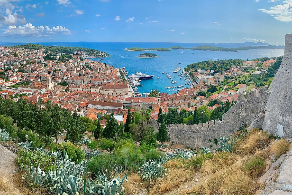
  • Hvar town harbour full of yachts, with the Pakleni islands beyond, seen from the Spanish fortress (Španjola)Hvar town, island of Hvar. Photo: “The Spanish Fortress in Hvar, Croatia” by Steve Jurvetson, CC BY 2.0, cropped and resized
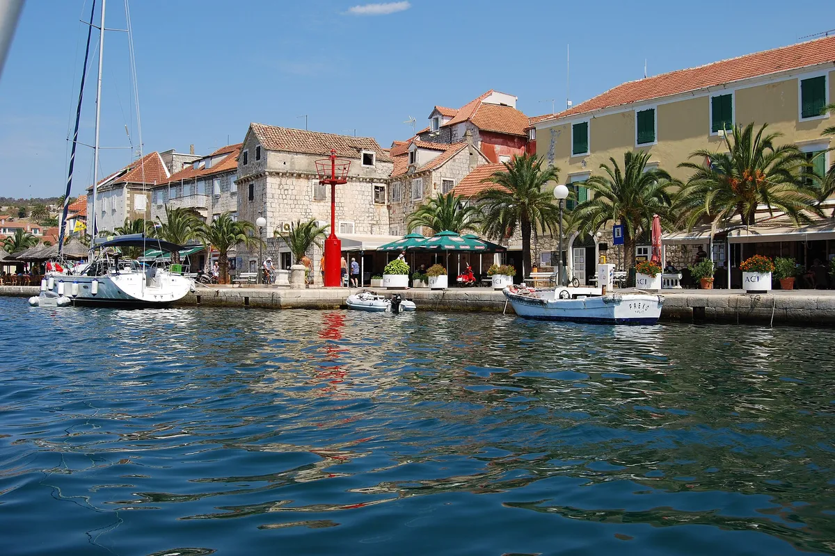
  • Milna waterfront seen from the water, stone houses, palms and yachts moored on the quayMilna, island of Brač. Photo: “Milna, kikötő - panoramio” by Sztudva Gyöngyi, CC BY-SA 3.0, cropped and resized

Nearby

1 NM (Measured by us, )from Bol harbour

Open in a map app