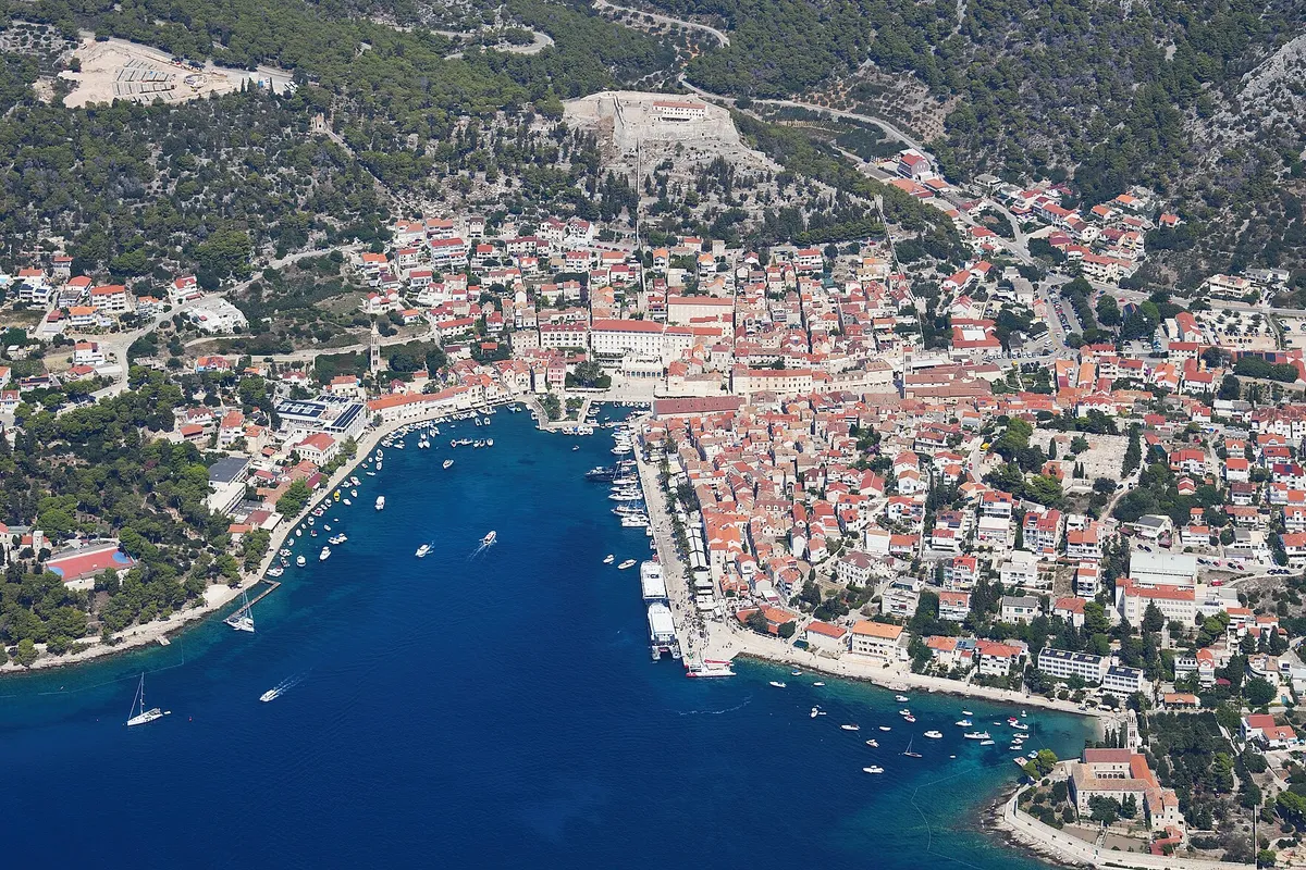
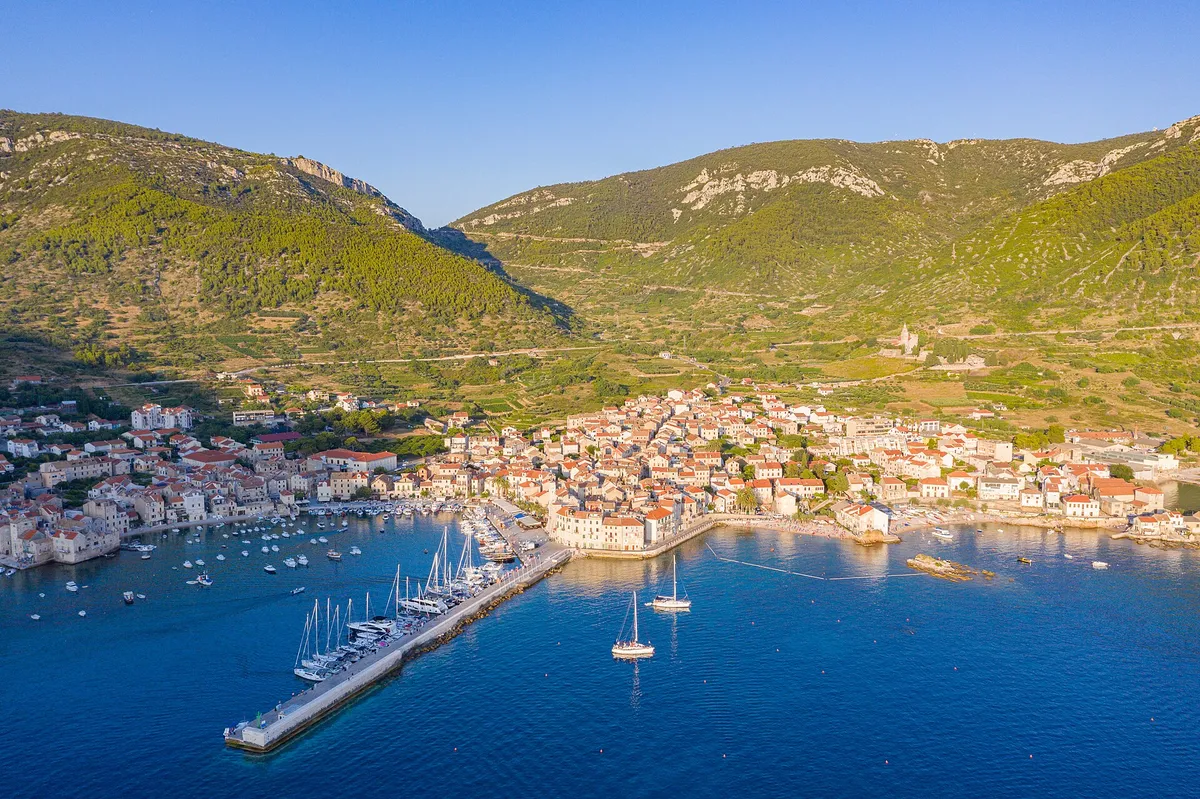
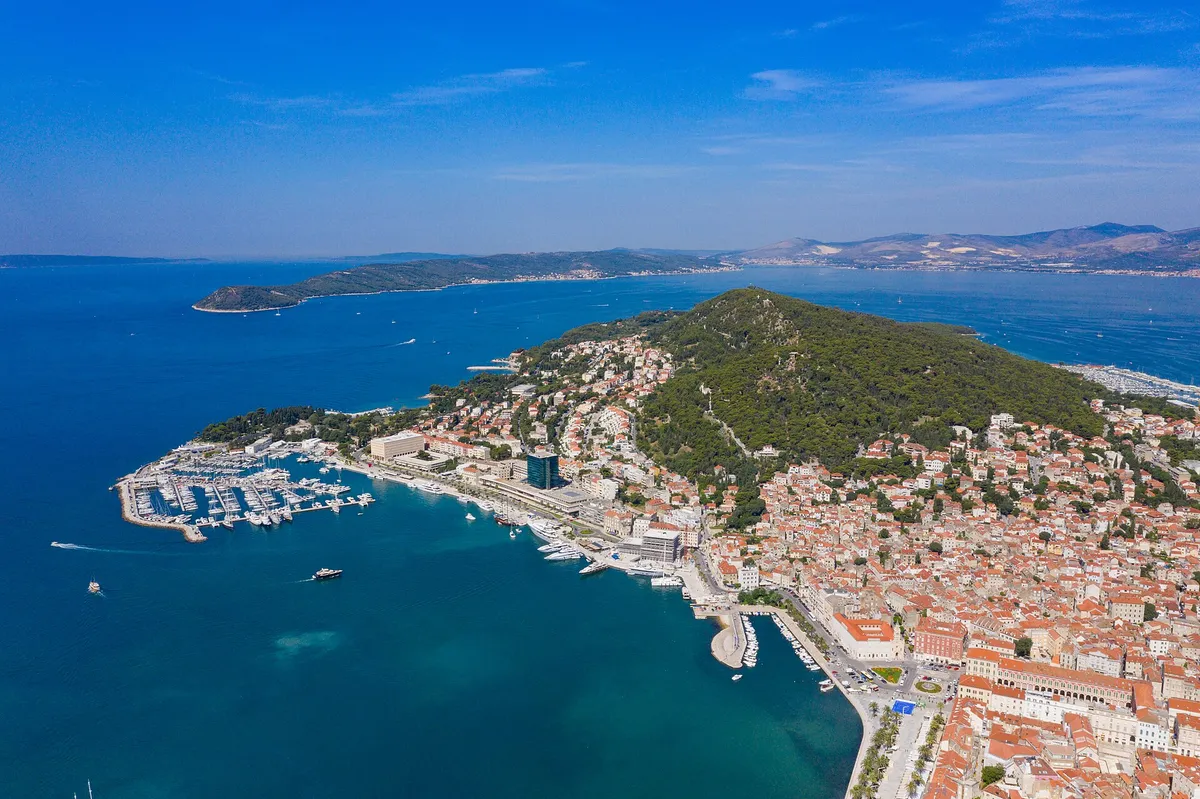
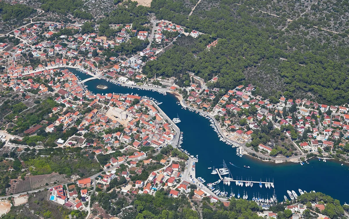
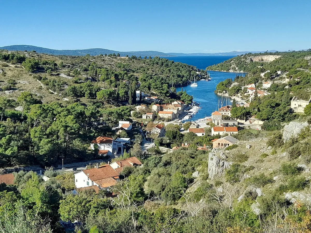
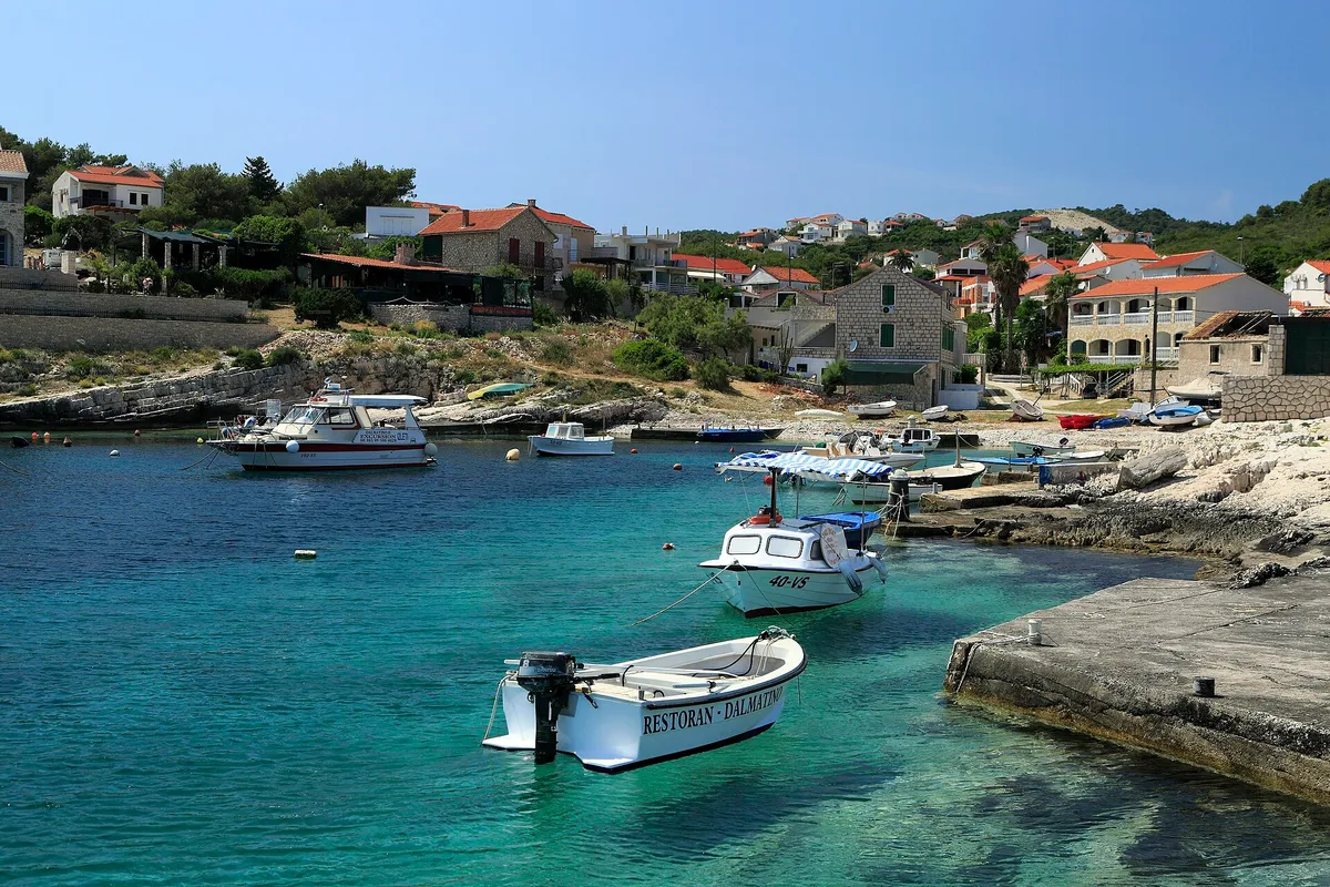
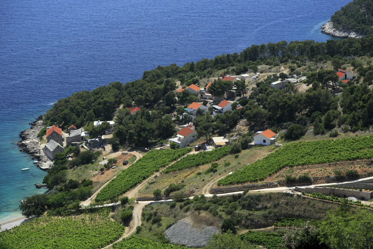
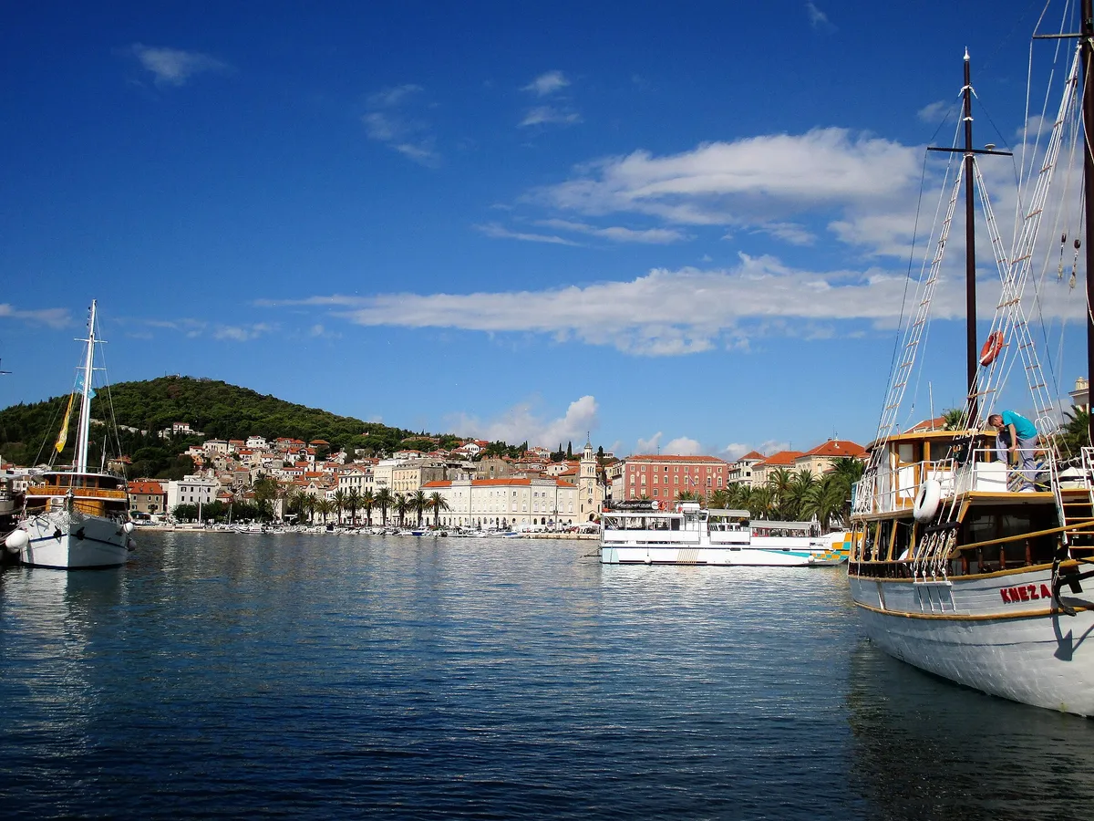
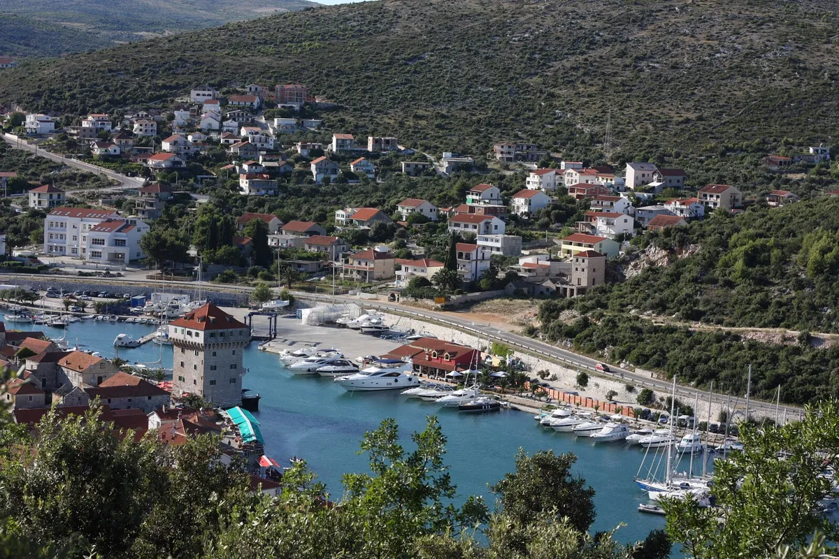
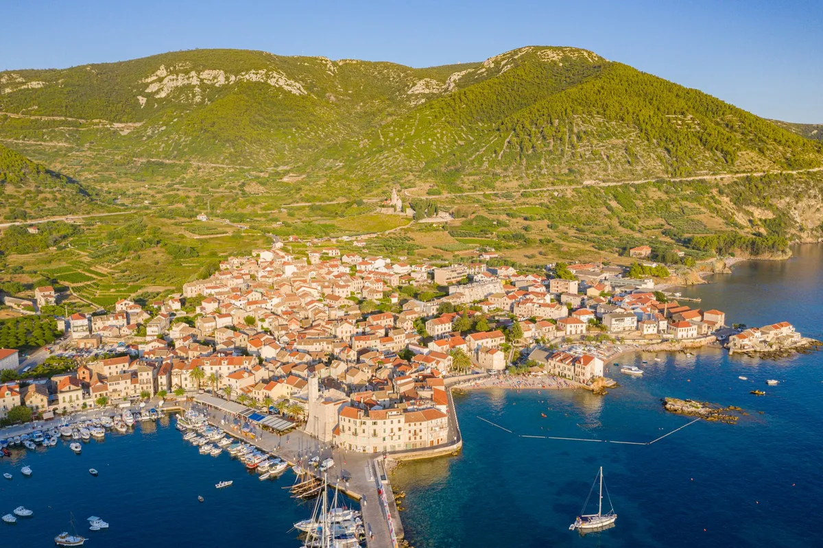
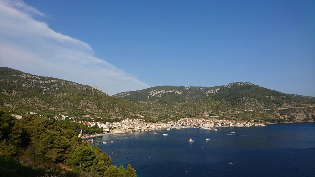
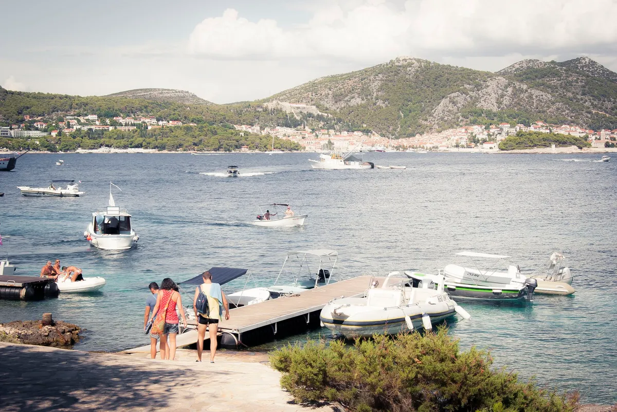
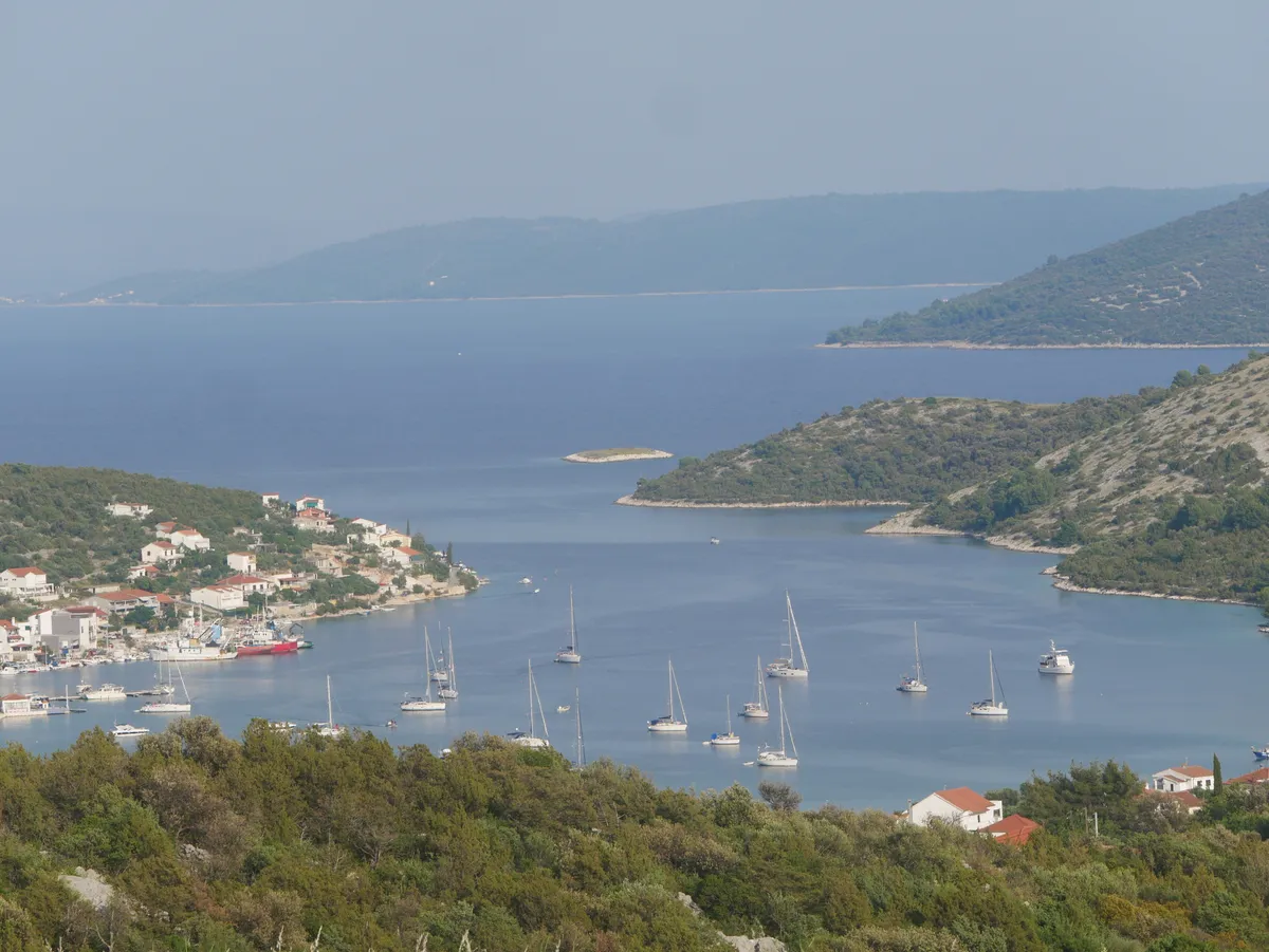
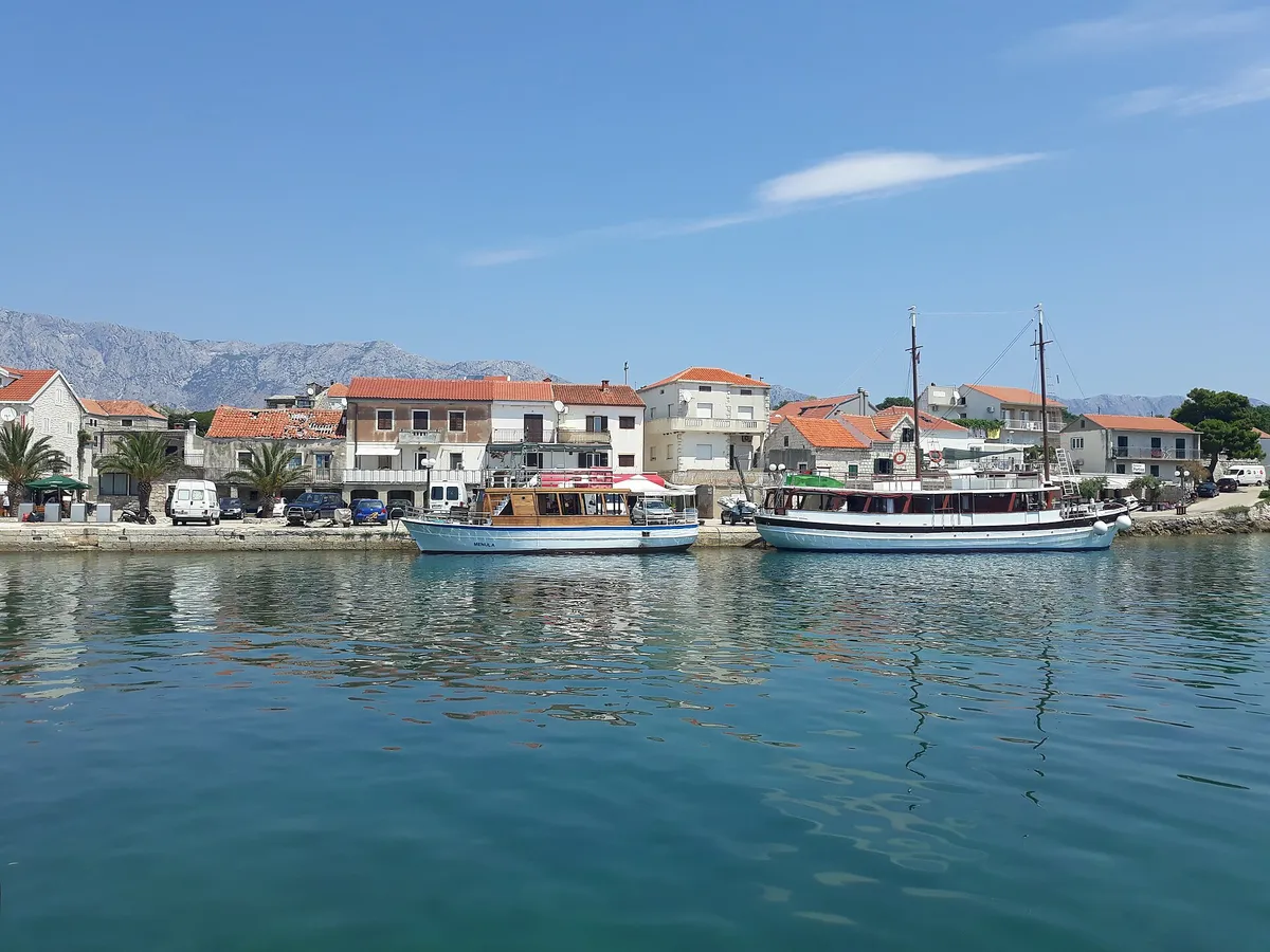
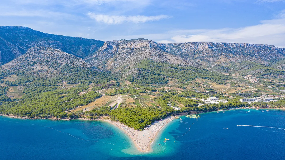
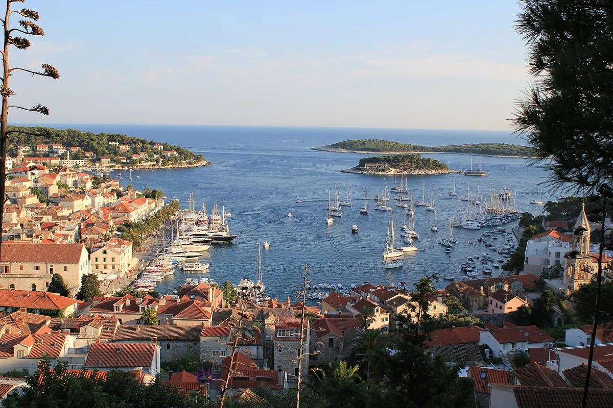
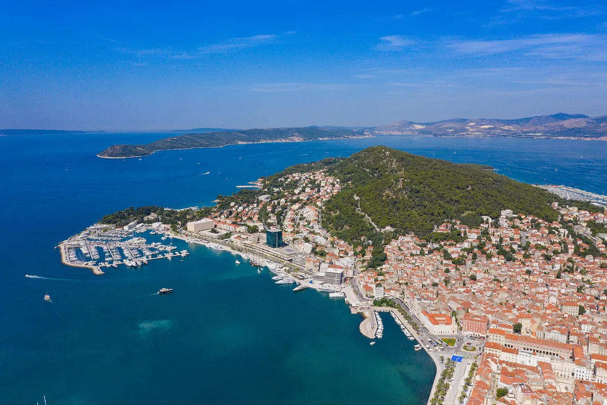
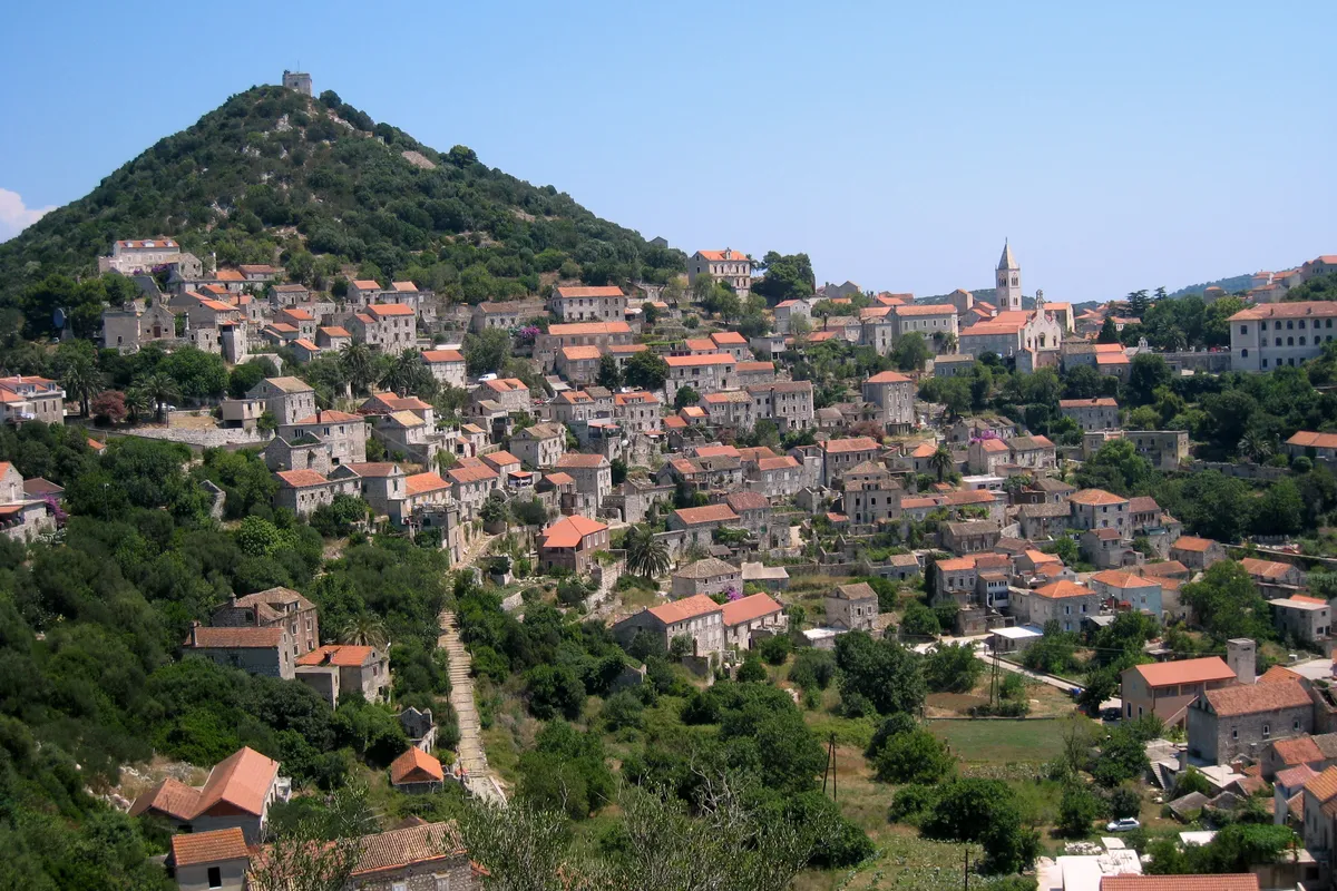
Photo: “Aerial image of Hvar (view from the south)” by Carsten Steger, CC BY-SA 4.0, cropped and resized
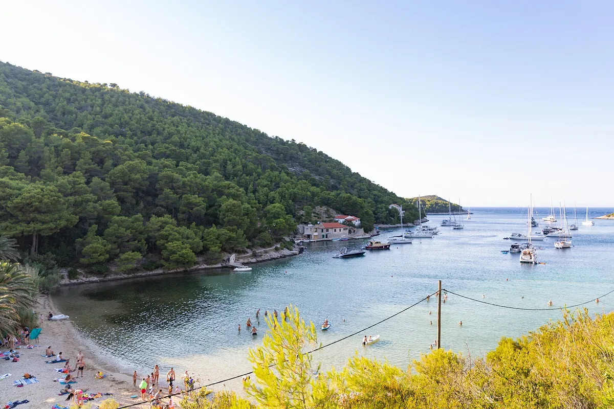
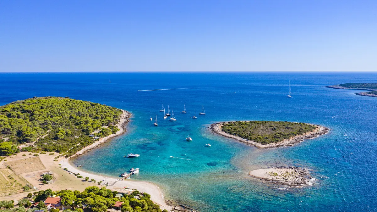
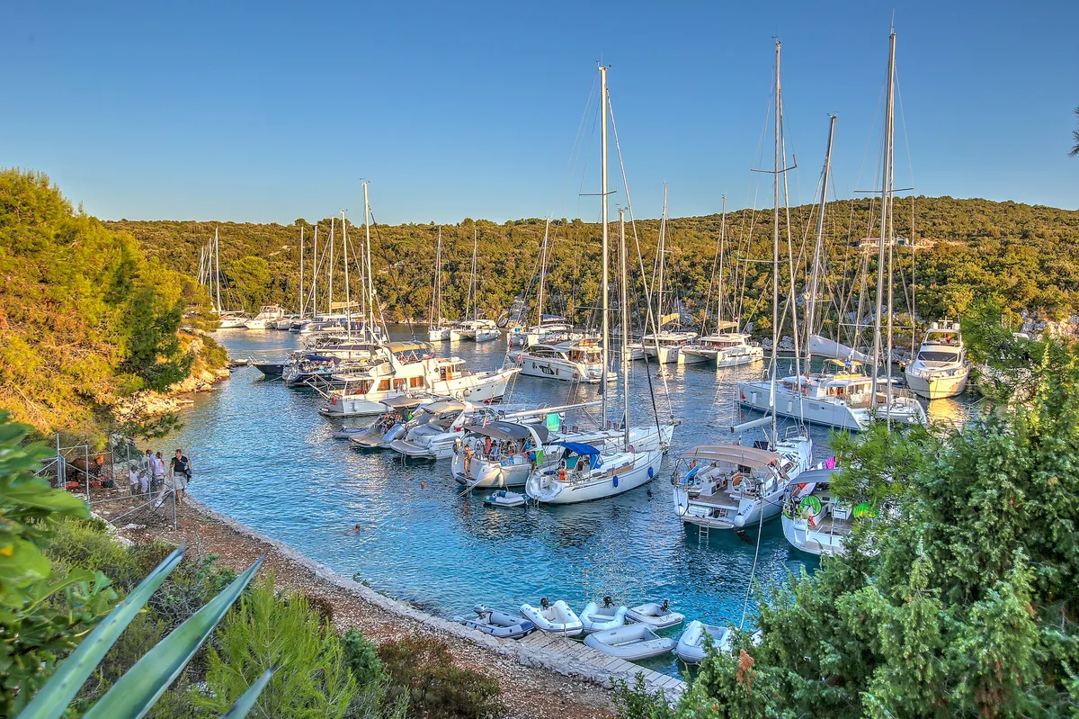
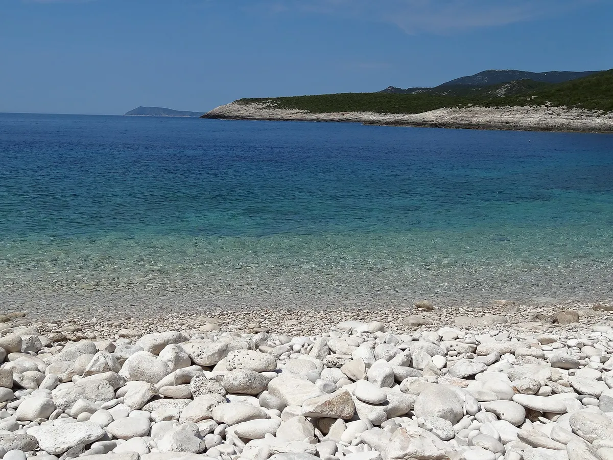
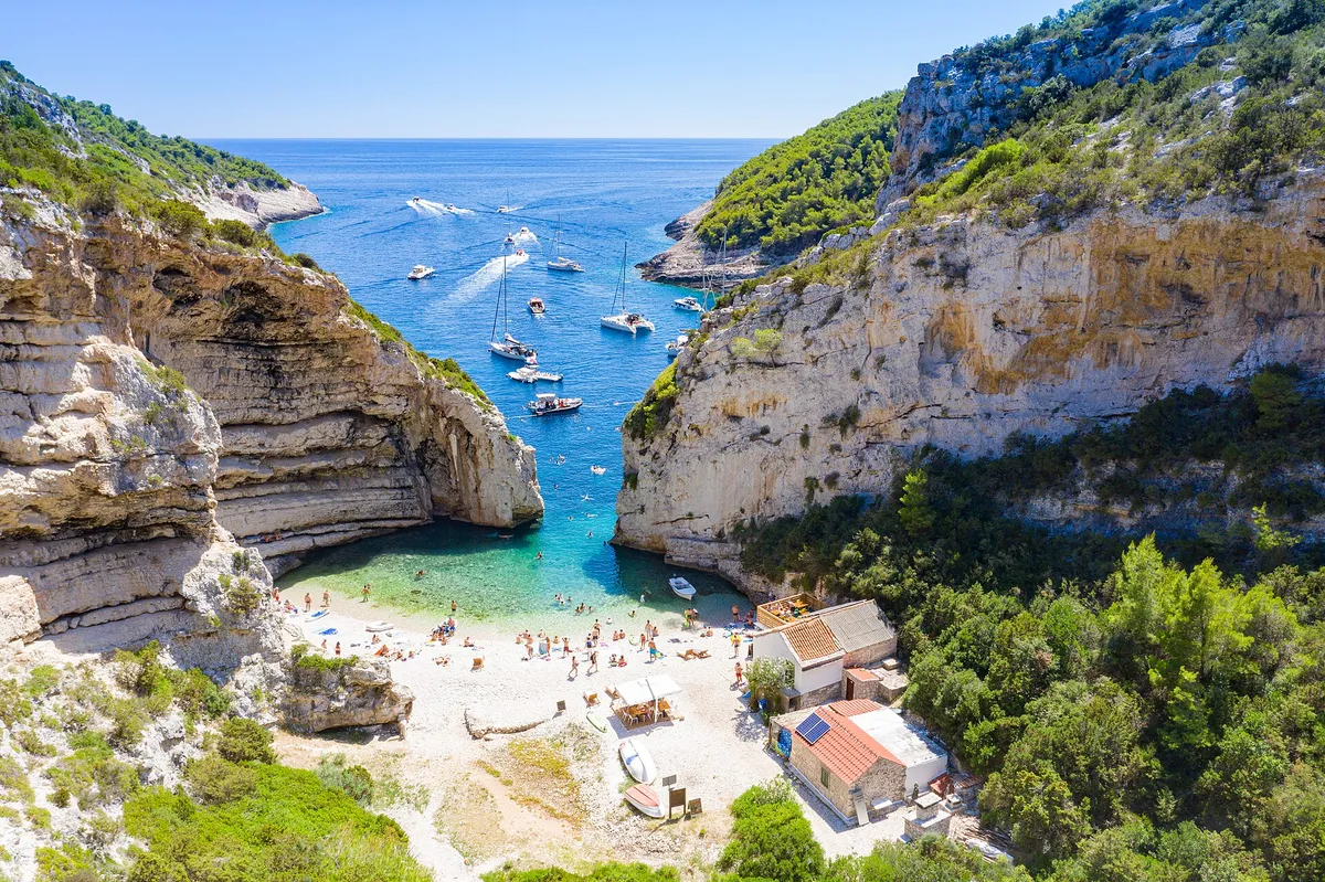
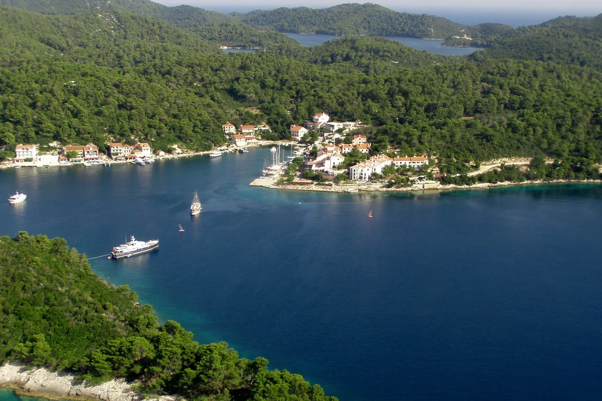
Photo: “Stoncica beach bay on Vis island, Croatia” by dronepicr, CC BY 2.0, resized
Sailing region, from Split and Trogir out to Vis
Central Dalmatia by boat
Central Dalmatia is the coast and islands around Split: Šolta, Brač, Hvar and Vis, with Vis the farthest at 30 NM from Split. (Measured by us, ) A good region for a first or second week, with marinas, town quays and buoys for the night.
Not for navigationPhoto: “Stoncica beach bay on Vis island, Croatia” by dronepicr, CC BY 2.0, resizedStončica bay
Mooring buoys and a beach restaurant
Unknown
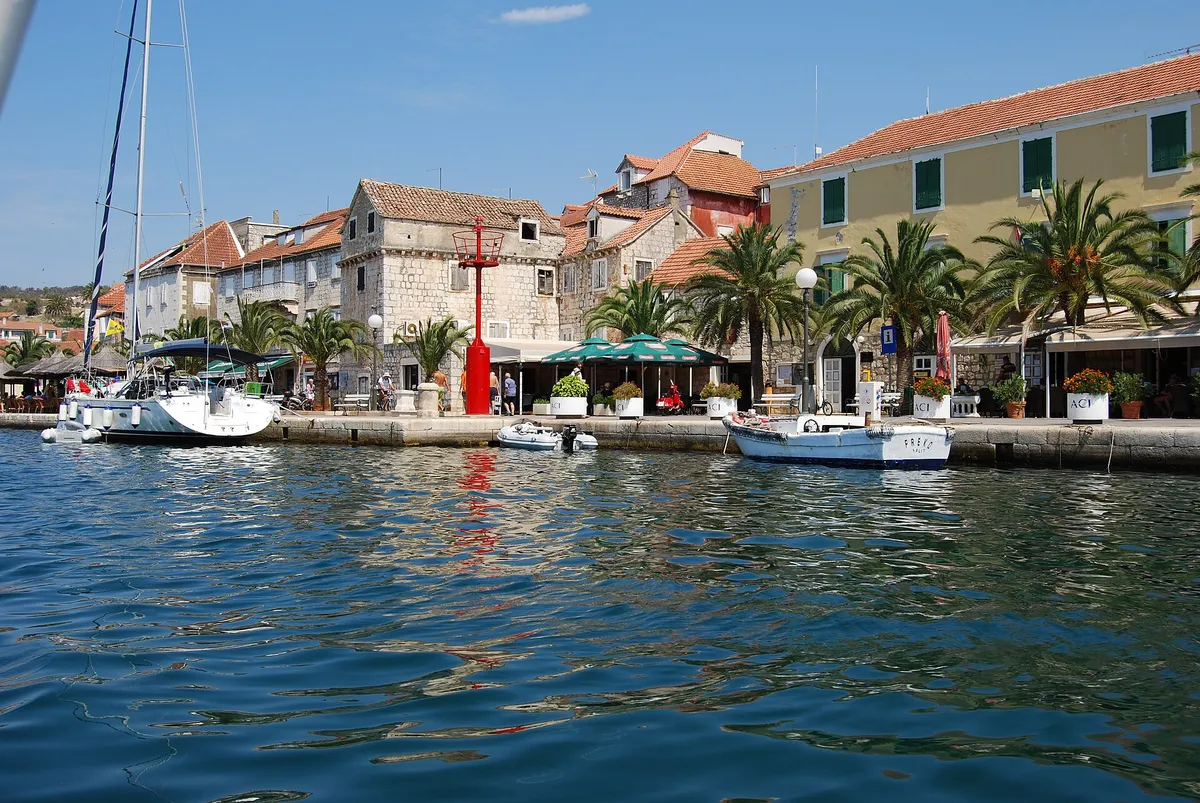
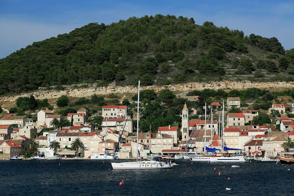
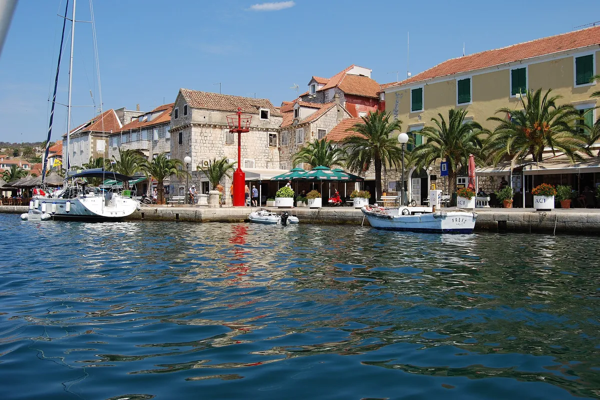
Photo: “J32 421 Vis-Stadt, Lučica” by Falk2, CC BY-SA 4.0, resizedVis town harbour
Town quay and buoys
€119.15a day on the quay in 2026, 12 m boat
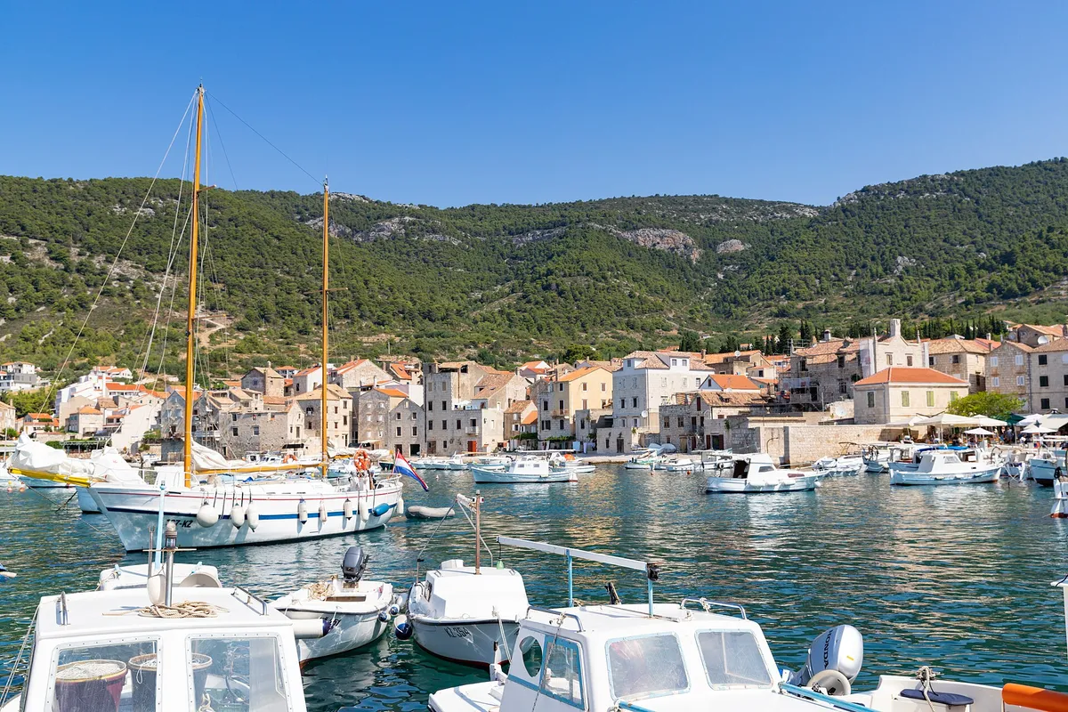
(Measured by us, )Photo: “Aerial view of Komiza Town Harbour on Vis island, Croatia” by dronepicr, CC BY 2.0, resizedKomiža
Town quay
€60a day on the town quay, 12 m boat
(Official source, )Photo: “PALMIŽANA - panoramio” by sanja mm, CC BY 3.0, resizedVinogradišće bay
Mooring buoys, Palmižana
€84a summer night, 12 m boat
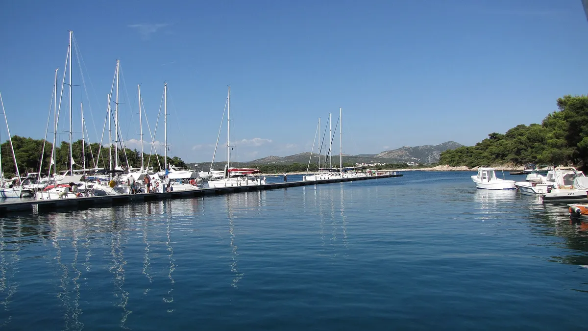
(From the operator, )Photo: “Palmizana - panoramio” by Dejan Sekuloski, CC BY 3.0, resizedACI Marina Palmižana
Marina
€140a night in July, 12 m boat
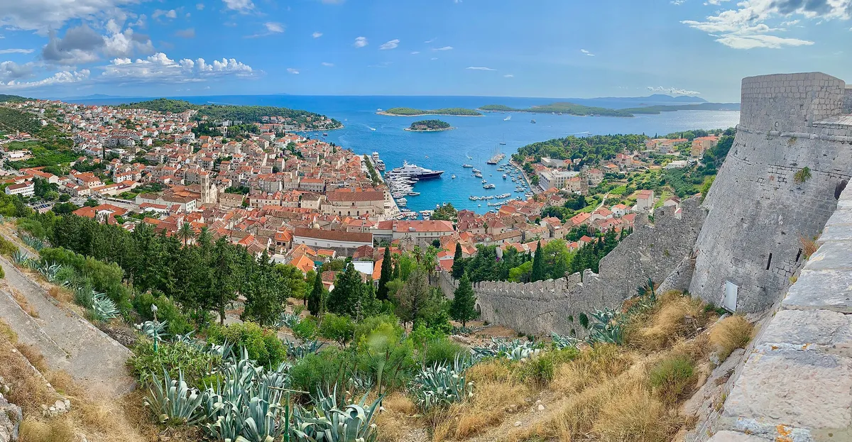
(From the operator, )Photo: “The Spanish Fortress in Hvar, Croatia” by Steve Jurvetson, CC BY 2.0, resizedHvar town
Town quay
€136a day on the quay in 2026, 12 m boat
(Measured by us, )Photo: “Yacht Line Up, Stari Grad - Hvar Island” by Alex Proimos from Sydney, Australia, CC BY 2.0, resizedStari Grad
Town quay
€60a day on the town quay, 12 m boat
(Official source, )Photo: “Milna - ACI marina” by Silverije, CC BY-SA 4.0, resizedACI Marina Milna
Marina
€128a day in July, 12 m boat, ACI Marina Milna
(From the operator, )Photo: “Maslinica, marina s tvrzí 01” by Draceane, CC BY-SA 4.0, resizedMarina Martinis Marchi
Marina in Maslinica
€135a day in July 2026, 12 m boat, plus €10 water and power
(From the operator, )Photo: “Aerial view of Marina Split in Croatia” by dronepicr, CC BY 2.0, resizedACI Marina Split
Marina
€168a day in July, 12 m boat
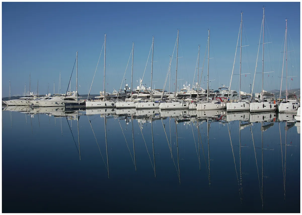
(From the operator, )Photo: “Trogir marina 053” by Ante Perkovic, CC BY 3.0, resizedACI Marina Trogir
Marina
€150a day in July, 12 m boat
(From the operator, )Photo: “J32 688 Hafen Bol” by Falk2, CC BY-SA 4.0, resizedBol
Town quay
€60a day in the harbour, 12 m boat
(Official source, )Photo: “Hvar Jelsa” by Juloml, CC BY-SA 3.0, resizedJelsa
Town quay
€54a day on the town quay, 12 m boat
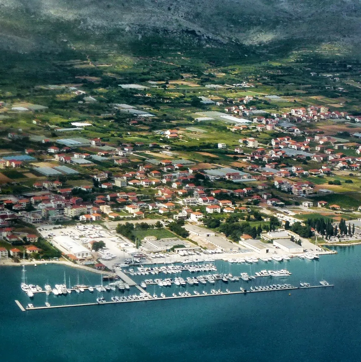
(Official source, )Photo: “Aerial image of Vrboska, island of Hvar (view from the south) - 2024” by Carsten Steger, CC BY-SA 4.0, resizedACI Marina Vrboska
Marina
€110a day in July, 12 m boat
(From the operator, )Photo: “Bobovišća na moru, Brač, Croatia 20231118 03” by Argo Navis, CC BY-SA 4.0, resizedBobovišća
Town quay
€48a day on the quay, 12 m boat
(Official source, )Photo: “Šolta Nečujam Hrvatska Podkamenica 2012 a” by Joadl, CC BY-SA 3.0 AT, resizedNečujam
Village quay and buoys
Unknown
Photo: “Šolta Stomorska Hrvatska Westufer 2012 c” by Joadl, CC BY-SA 3.0 AT, resizedStomorska
Town quay
€54a day on the quay, 12 m boat
(Official source, )Photo: “Isola di Drvenik Veli04” by b.roveran, CC BY 2.0, resizedDrvenik Veli harbour
Village quay
€36a night on the quay, 12 m boat
(Official source, )Photo: “J32 450 Rukavac” by Falk2, CC BY-SA 4.0, resizedRukavac
Mooring buoys
€60a day on a buoy, 2026
(From the operator, )Photo: “Blue lagoon at Budikovac island in Croatia” by dronepicr, CC BY 2.0, resizedBudikovac
Mooring buoys
€60a day on a buoy, 2026
(From the operator, )Photo: “Bucht Lucice” by Bunker, CC BY-SA 3.0, resizedLučice bay
Mooring buoys
€100 a nighton a buoy, for a boat of 14 to 44 ft
(From the operator, )Photo: “Pučišća BW 2024-10-04 11-15-00” by Berthold Werner, CC BY-SA 4.0, resizedPučišća
Town quay
€54a day on the quay, 12 m boat
(Official source, )Photo: “J32 644 Farska” by Falk2, CC BY-SA 4.0, resizedThe south coast of Brač
Anchorage
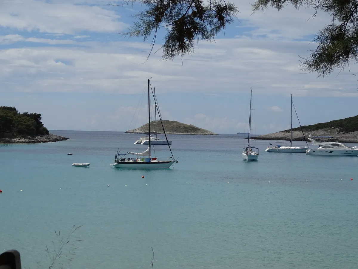
Treat Blaca, on Brač's south coast, as open to every wind from the east round to the south-west, and leave if any of them is forecast. It is sheltered from the bura, and a maestral bouncing off the steep shore makes a chop
(Sources disagree, )Photo: “Šolta Maslinica Hrvatska Uvala Šešula 2019 08a” by Joadl, CC BY-SA 3.0 AT, resizedŠešula bay
Mooring buoys
Its buoys are free for restaurant guests. In peak season two boats may share a buoy, with a line ashore. Give your boat's details when you book online
(From the operator, )Photo: “Šolta Rogač Hrvatska 2012 a” by Joadl, CC BY-SA 3.0 AT, resizedRogač
Town quay
€48a day on the quay, 12 m boat
(Official source, )Photo: “Veli Školj, Tatinja, Šolta” by Luboš Holič, CC BY-SA 3.0, resizedTatinja bay
Mooring buoys
€25a night per boat, for dinner guests
(From the operator, )Photo: “Split Croatie - Flickr - busylvie” by Sylvie burr, CC0, resizedSplit city harbour
Town quay below the old town
€114a day in July, 11 to 12 m boat
(Official source, )Photo: “Marina Kaštela I” by Michael Staats from Duisburg, Germany, CC BY-SA 2.0, resizedMarina Kaštela
Marina
€114a day in July, 12 m boat
(From the operator, )Marina Lav, Podstrana
Marina
€130a day in July, 12 m boat
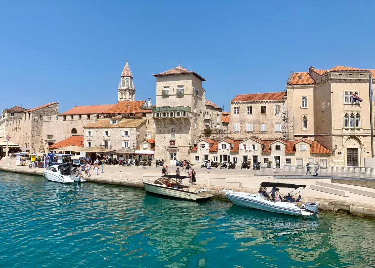
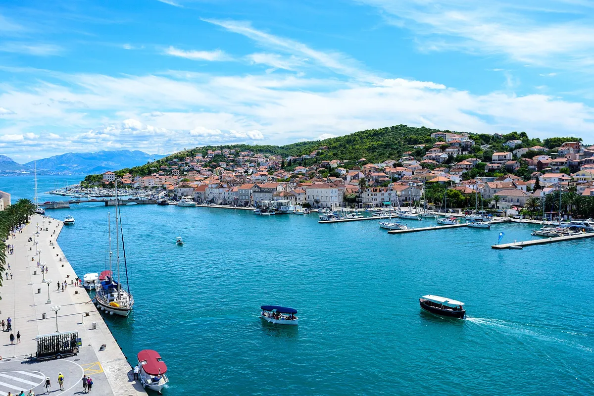
(From the operator, )Photo: “Port of Trogir” by Dudva, CC0, resizedTrogir town quay
Town quay on the Riva
€60a day on the town quay, 12 m boat
(Official source, )SCT Marina Trogir
Marina
€120a day in July, 12 m boat
(From the operator, )Photo: “Yachtclub Seget, Croatia - panoramio” by Николай Максимович, CC BY 3.0, resizedMarina Baotić, Seget Donji
Marina
€95a day, 12 m boat, plus power and water
(From the operator, )Photo: “Marina - Flickr - jns001 (2)” by János Tamás, CC BY 2.0, resizedMarina Agana
Marina
€90a day in July, 12 m boat
(From the operator, )Photo: “Aerial view of Lucica Beach in Komiza, Croatia” by dronepicr, CC BY 2.0, resizedLučica buoys, Komiža
Mooring buoys
Unknown
Photo: “Komiža Island Vis” by ModriDirkac, CC BY-SA 4.0, resizedPol Guspu buoys, Komiža
Mooring buoys
Unknown
Photo: “Komiža Island Vis” by ModriDirkac, CC BY-SA 4.0, resizedKomiža bay
Anchorage
Boats anchor south-west of Komiža harbour. It isn't safe in a bura, which comes in very strong gusts away from the shore, westerlies raise high waves in the bay, and a strong jugo makes it worse. Our cautious answer:anchor off Komiža only in settled weather, keep clear of the fallen rocks along the shore, and leave for Vis town if a bura, a jugo, a westerly or a southerly is forecast. Our skipper reviewer hasn't checked this yet.
(Third-party source, )Photo: “SREBRNA - panoramio” by sanja mm, CC BY 3.0, resizedSrebrna bay
Anchorage
The county's concession map shows no anchorage concession in Srebrna bay
(Official source, )Photo: “Uvala Oključna (Porat)” by Emaus78, CC BY-SA 4.0, resizedOključna bay
Mooring buoys
Oključna lies on the bura side of Vis. Our cautious answer:don't stay in Oključna if any bura or northerly is forecast. Our skipper reviewer hasn't checked this yet.
(Third-party source, )Photo: “Mostir, Šćedro 20220726 15” by Argo Navis, CC BY-SA 4.0, resizedMostir bay, Šćedro
Mooring buoys
Unknown
Photo: “Mlini beach - panoramio (2)” by Dejan Sekuloski, CC BY 3.0, resizedMlini bay, Marinkovac
Mooring buoys
Sources differ. Our cautious answer:Don't plan a night off Mlini if a south-westerly or westerly is forecast, and expect a current of up to 4 knots in the passage in a westerly, and a strong current in any southerly, up to 3 knots in a storm jugo
(Sources disagree, )Photo: “Hvar 09” by José Sáez, CC BY-SA 3.0, resizedStipanska bay, Marinkovac
Anchorage
The county's concession map shows no anchorage concession in Stipanska bay
(Official source, )Photo: “View-of-Vinisce” by Zvone00, CC BY-SA 4.0, resizedVinišće bay, near Trogir
Anchorage
€10a night at anchor, 10 m boat
(Official source, )Marina Vlaška, Milna
Marina
€128a day in July, 12 m boat, Marina Vlaška
(From the operator, )Photo: “Milna, kikötő - panoramio” by Sztudva Gyöngyi, CC BY-SA 3.0, resizedMilna town quay
Town quay
€54a day on the town quay, 12 m boat
(Official source, )Photo: “Općina Milna, Croatia - panoramio (4)” by Luboš Holič, CC BY-SA 3.0, resizedBobovišća bay buoys
Mooring buoys
Unknown
Photo: “Biševo, u daljini Vis” by August Dominus, CC BY-SA 4.0, resizedMezuporat
Mooring buoys
Nautički centar Komiža d.o.o. holds the county concession for the mooring in Mezuporat bay, where you land for the Blue Cave
(Official source, )Photo: “J35 825 Dolina Blaca” by Falk2, CC BY-SA 3.0 DE, resizedBlaca bay
Anchorage
Sources differ. Our cautious answer:Leave if any wind from the east round to the south-west is forecast
(Sources disagree, )Photo: “Šolta Maslinica Hrvatska Uvala Šešula 2019 08a” by Joadl, CC BY-SA 3.0 AT, resizedŠišmiš, Šešula
Restaurant berth, free with dinner
Its buoys are free for restaurant guests. In peak season two boats may share a buoy, with a line ashore. Give your boat's details when you book online
(From the operator, )Photo: “Bucht Lucice” by Bunker, CC BY-SA 3.0, resizedRestoran Lučice, Lučice
Restaurant berth, its own buoy price
€100 a nighton a buoy, for a boat of 14 to 44 ft
(From the operator, )Photo: “Port of Sućuraj, island of Hvar 20210724 09” by Argo Navis, CC BY-SA 4.0, resizedSućuraj
Town quay
€48a day on the town quay, 12 m boat
(Official source, )Photo: “Biševo - Blue Cave - 2021-07-30 11-56-09 2642” by Pierre-Selim Huard, CC BY 4.0, resizedBlue Cave
A sea cave, by boat trip from Mezuporat
Photo: “Veli Krknjaš - panoramio” by bruno.kostovic, CC BY 3.0, resizedBlue Lagoon
A swim stop by day
Photo: “Aerial view of the Adriatic Sea at Stiniva Bay on Vis island in Croatia” by dronepicr, CC BY 2.0, resizedStiniva
A swim stop, no overnight stay
Photo: “Luftbild vom Strand Zlatni rat mit Blick auf den Berg Vidova Gora in Bol, Kroatien” by dronepicr, CC BY 2.0, resizedZlatni Rat
A beach, a swim stop by day
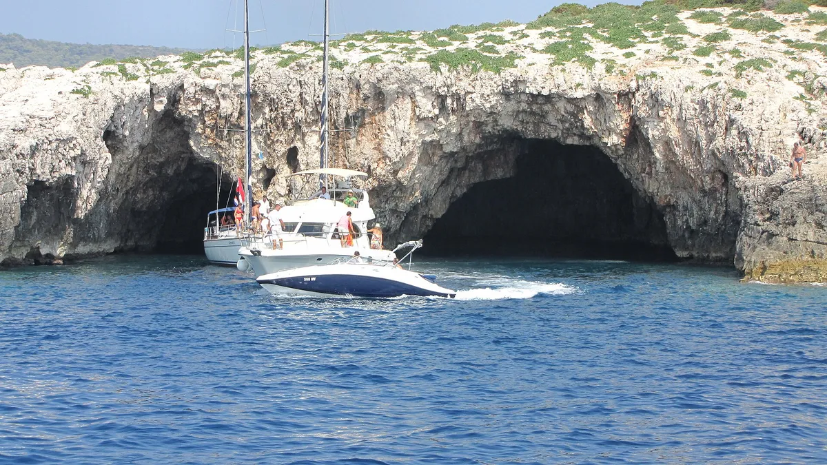
Photo: “Vis Ravnik green cave - panoramio” by Dejan Sekuloski, CC BY 3.0, resizedGreen Cave
The Green Cave, a swim stop
All 67 facts on this page name their source, the latest checked on : 23 from the operator, 23 from official sources, 16 measured by us and 2 from third-party sources, such as pilot books and magazines, so treat those 2 as a guide. The sources disagree on 2 points, in 3 facts: shelter on the south coast of Brač and shelter in Mlini bay.
Crews who want empty bays. For that, look north to the Kornati, in North Dalmatia.
The sailing
Big islands a few hours apart. On our week the days run 13 to 28 NM. (Measured by us, )
Open water
Only on the way out to Vis and back. The Vis channel is open to the jugo, a wet southeast wind, and the bura, a gusty northeast one. The other hops are shorter, between the islands. Weather and winds
Busy
The County of Split-Dalmatia recorded the most boats in transit of any county in 2025: 54,183 on sea berths in its nautical ports, 27.9% of the total. A boat on a week's trip likely counts once at each port. (Official source, ) Plan each night in July and August.
Forecast
DHMZ marine forecast, every morning and the evening before a crossing. (Official source, )
The rules
The anchoring rules changed in 2025, and again on 25 Apr 2026. (Official source, )Anchoring rules and fees has each rule with its source.
Islands and places in Central Dalmatia
Each has its own page, and many of their harbours, marinas and buoy fields have a page of their own.
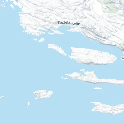
51 places to stay the night, 45 with a price: from €25 at Tatinja bay to €168 at ACI Marina Split. Prices are one night for a 12 m monohull in July 2026, before tourist tax. The map lights the row you read; pick a pin to go to its row.
Free with dinnerIts buoys are free for restaurant guests. In peak season two boats may share a buoy, with a line ashore. Give your boat's details when you book online
Šišmiš, ŠešulaRestaurant berth, free with dinnerPhoto: “Šolta Maslinica Hrvatska Uvala Šešula 2019 08a” by Joadl, CC BY-SA 3.0 AT, resized
Free with dinnerIts buoys are free for restaurant guests. In peak season two boats may share a buoy, with a line ashore. Give your boat's details when you book online
Treat Blaca, on Brač's south coast, as open to every wind from the east round to the south-west, and leave if any of them is forecast. It is sheltered from the bura, and a maestral bouncing off the steep shore makes a chop
The county's texts disagree: the 2019 study calls Blaca safe from the north round to the east and open to the south and south-west; the 2024 plan calls it open to the south-east and south and sheltered from the south-west by Blacina glava. Either way the jugo and southerlies make the sea rough, and the maestral bouncing off the steep shores makes a chop
Treat Mlini as open to the south-west and west, and don't plan a night there if a south-westerly or westerly is forecast. The county's anchorage plan calls the water between Marinkovac and Planikovac well protected from every wind, but by our measure from the chart more than 10 NM of open water lies to the south-west and west of where boats lie. In a westerly the current in the passage can reach 4 knots, and it runs strong in any southerly, up to 3 knots in a storm jugo
Boats anchor south-west of Komiža harbour. It isn't safe in a bura, which comes in very strong gusts away from the shore, westerlies raise high waves in the bay, and a strong jugo makes it worse. Our cautious answer:anchor off Komiža only in settled weather, keep clear of the fallen rocks along the shore, and leave for Vis town if a bura, a jugo, a westerly or a southerly is forecast. Our skipper reviewer hasn't checked this yet.
Oključna lies on the bura side of Vis. Our cautious answer:don't stay in Oključna if any bura or northerly is forecast. Our skipper reviewer hasn't checked this yet.
Nautički centar Komiža d.o.o. holds the county concession for the mooring in Mezuporat bay, where you land for the Blue Cave
(Official source, )
Swim stops in Central Dalmatia
Stops by day on the way, not for the night. No anchoring within 150 m of a natural beach, under the 2025 ordinance. (Official source, )Anchoring near beaches
StinivaThe cove on the south coast of Vis, behind a narrow gap in the cliffsPhoto: “Aerial view of the Adriatic Sea at Stiniva Bay on Vis island in Croatia” by dronepicr, CC BY 2.0, resized
The Blue CaveThe sea cave on Biševo, visited on the cave boats from MezuporatPhoto: “Biševo - Blue Cave - 2021-07-30 11-56-09 2642” by Pierre-Selim Huard, CC BY 4.0, resized
Zlatni RatThe pebble spit at Bol on Brač, and where to anchor off itPhoto: “Luftbild vom Strand Zlatni rat mit Blick auf den Berg Vidova Gora in Bol, Kroatien” by dronepicr, CC BY 2.0, resized
The Blue LagoonShallow clear water between Drvenik Veli and the Krknjaši islets, a day stop from TrogirPhoto: “Veli Krknjaš - panoramio” by bruno.kostovic, CC BY 3.0, resized
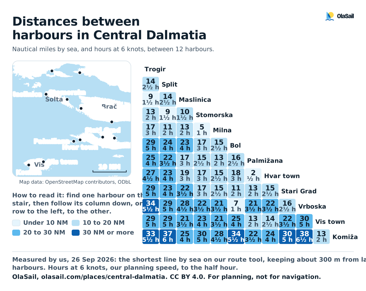
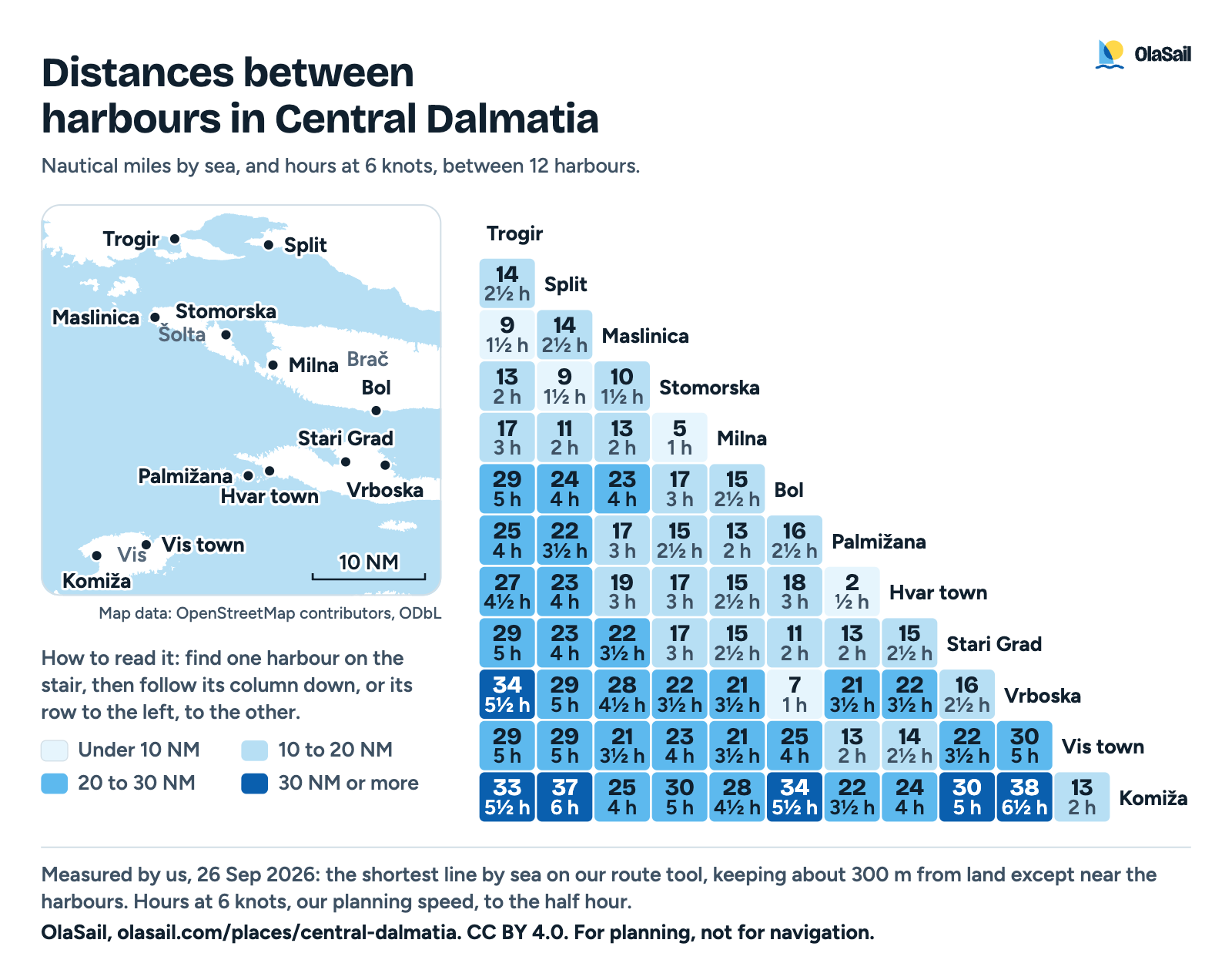
By sea between the harbours most weeks use, measured on our route tool, with the hours under way. Use it on your own site under CC BY 4.0, with the credit line below it.
Graphic: OlaSail, CC BY 4.0. Measured by us on our route tool, 26 Sep 2026.Read the graphic as text
Distances by sea between the harbours, measured on our route tool. Hours at 6 knots, to the half hour.
From
To
By sea
At 6 kn
Trogir
Split
14.1 NM
2½ h
Trogir
Maslinica
9.1 NM
1½ h
Trogir
Stomorska
12.8 NM
2 h
Trogir
Milna
17.5 NM
3 h
Trogir
Bol
29.0 NM
5 h
Trogir
Palmižana
25.3 NM
4 h
Trogir
Hvar town
26.8 NM
4½ h
Trogir
Stari Grad
28.6 NM
5 h
Trogir
Vrboska
34.4 NM
5½ h
Trogir
Vis town
29.1 NM
5 h
Trogir
Komiža
33.0 NM
5½ h
Split
Maslinica
13.6 NM
2½ h
Split
Stomorska
8.8 NM
1½ h
Split
Milna
11.3 NM
2 h
Split
Bol
23.6 NM
4 h
Split
Palmižana
21.6 NM
3½ h
Split
Hvar town
23.1 NM
4 h
Split
Stari Grad
23.2 NM
4 h
Split
Vrboska
29.0 NM
5 h
Split
Vis town
29.5 NM
5 h
Split
Komiža
36.7 NM
6 h
Maslinica
Stomorska
10.0 NM
1½ h
Maslinica
Milna
13.2 NM
2 h
Maslinica
Bol
22.9 NM
4 h
Maslinica
Palmižana
17.4 NM
3 h
Maslinica
Hvar town
18.9 NM
3 h
Maslinica
Stari Grad
22.1 NM
3½ h
Maslinica
Vrboska
28.1 NM
4½ h
Maslinica
Vis town
20.9 NM
3½ h
Maslinica
Komiža
25.0 NM
4 h
Stomorska
Milna
5.4 NM
1 h
Stomorska
Bol
16.9 NM
3 h
Stomorska
Palmižana
15.1 NM
2½ h
Stomorska
Hvar town
16.6 NM
3 h
Stomorska
Stari Grad
16.6 NM
3 h
Stomorska
Vrboska
22.2 NM
3½ h
Stomorska
Vis town
23.5 NM
4 h
Stomorska
Komiža
30.0 NM
5 h
Milna
Bol
15.2 NM
2½ h
Milna
Palmižana
13.1 NM
2 h
Milna
Hvar town
14.6 NM
2½ h
Milna
Stari Grad
15.0 NM
2½ h
Milna
Vrboska
20.6 NM
3½ h
Milna
Vis town
21.2 NM
3½ h
Milna
Komiža
28.3 NM
4½ h
Bol
Palmižana
16.2 NM
2½ h
Bol
Hvar town
17.7 NM
3 h
Bol
Stari Grad
11.2 NM
2 h
Bol
Vrboska
6.8 NM
1 h
Bol
Vis town
24.9 NM
4 h
Bol
Komiža
33.5 NM
5½ h
Palmižana
Hvar town
2.2 NM
½ h
Palmižana
Stari Grad
13.4 NM
2 h
Palmižana
Vrboska
20.9 NM
3½ h
Palmižana
Vis town
12.9 NM
2 h
Palmižana
Komiža
21.9 NM
3½ h
Hvar town
Stari Grad
14.9 NM
2½ h
Hvar town
Vrboska
22.4 NM
3½ h
Hvar town
Vis town
13.8 NM
2½ h
Hvar town
Komiža
23.6 NM
4 h
Stari Grad
Vrboska
16.0 NM
2½ h
Stari Grad
Vis town
22.1 NM
3½ h
Stari Grad
Komiža
30.4 NM
5 h
Vrboska
Vis town
29.6 NM
5 h
Vrboska
Komiža
37.9 NM
6½ h
Vis town
Komiža
12.6 NM
2 h
Use this graphic
You may share and adapt it for any purpose, also commercially, under CC BY 4.0. Credit OlaSail and link to this page.
<figure>
  <img src="https://olasail.com/media/distances-central-dalmatia-2026.png" width="1600" height="1272" alt="Distances between harbours in Central Dalmatia">
  <figcaption>Graphic: <a href="https://olasail.com/places/central-dalmatia/">OlaSail</a>, <a href="https://creativecommons.org/licenses/by/4.0/">CC BY 4.0</a>. Measured by us on our route tool, 26 Sep 2026.</figcaption>
</figure>
This is the 2026 version. We never change a published file: when a rule or a figure changes, we publish a new one. The text on this page is not under this licence. How we license our graphics
Wind and sea, next 3 days
For Split, where most weeks start. Check the official forecast every morning and the evening before a crossing. Weather and winds
Model forecast from Open-Meteo.Not an official forecast.Not for navigation.
Each part of the day shows its strongest hourly wind and gust, and its highest wave, in Croatian time. The words follow the Beaufort scale, and the model can't tell a real bura from any other northeast wind. How to read a model forecast
2open crossings, to Vis and back (Measured by us, )
A Saturday to Saturday charter week out to Vis and back, with where to sleep and a Plan B for every night.Two open crossings, the longest about 17 NM from Šolta to Vis. First crews: settled weather, or take a skipper.
14 NMthe longest day, no open crossing (Measured by us, )
Short hops of 3 to 14 NM between Trogir, Šolta and Brač, with land close on both sides. You tie up by mid-afternoon, which suits a first charter or a young crew. (Measured by us, )
Not for navigationPhoto: “Isola di Drvenik Veli04” by b.roveran, CC BY 2.0, resized
Day 1 of 7, Saturday
Trogir to Drvenik Veli
7 NM
Tonight: Drvenik Veli harbour
€36 a night on the quay, 12 m boat
(Official source, )Photo: “Maslinica, marina s tvrzí 01” by Draceane, CC BY-SA 4.0, resized
Day 2 of 7, Sunday
Drvenik Veli to Maslinica, Šolta
8 NM by the Blue Lagoon
Tonight: Marina Martinis Marchi
€135 a day in July 2026, 12 m boat, plus €10 water and power
(From the operator, )Photo: “Milna - ACI marina” by Silverije, CC BY-SA 4.0, resized
Day 3 of 7, Monday
Maslinica to Milna, Brač
14 NM
Tonight: ACI Marina Milna
€128 a day in July, 12 m boat, ACI Marina Milna
(From the operator, )Photo: “Bobovišća na moru, Brač, Croatia 20231118 03” by Argo Navis, CC BY-SA 4.0, resized
Day 4 of 7, Tuesday
Milna to Bobovišća
3 NM
Tonight: Bobovišća village quay
€48 a day on the quay, 12 m boat
(Official source, )Photo: “Aerial view of Marina Split in Croatia” by dronepicr, CC BY 2.0, resized
Day 5 of 7, Wednesday
Bobovišća to Split
10 NM
Tonight: ACI Marina Split
€168 a day in July, 12 m boat
(From the operator, )Photo: “Šolta Nečujam Hrvatska Podkamenica 2012 a” by Joadl, CC BY-SA 3.0 AT, resized
Day 6 of 7, Thursday
Split to Nečujam, Šolta
9 NM
Tonight: Nečujam, on the quay or at anchor
€36 a day on the quay, 12 m boat
(Official source, )Photo: “Port of Trogir” by Dudva, CC0, resized
Day 7 of 7, Friday
Nečujam to Trogir
11 NM
Tonight: Your charter base in Trogir
Included in the charter
(From the operator, )Photo: “Trogir” by Nick Savchenko from Kiev, Ukraine, CC BY-SA 2.0, resized
Start and finish
Trogir
Charter bases
Sunsail gives 6 pm as its usual boarding time at Marina Agana, its base near Trogir, and sells a 3 pm start as an extra
(From the operator, )
What sailors told us
From sailors after a night here. They tell us what to check next, and don't count in the checks above.
On a seven-day trip from Split to Korčula, Hvar, Vis and Brač, small boats came round early in the morning selling breakfast to the yachts.
A guest on a week's sailing trip from Splitu/EmilVarga on Reddit · Posted · Retold in our words · Account not independently verified · Read the reply ↗
Still right?Facts sailors saw still as we say them, by a tap on "Yes, I saw it" or in a dated forum post. Neither changes the fact or its date.
Split-Dalmatia County Port Authority: Port fee rules (Pravilnik o lučkim pristojbama) of 21 Jun 2023, with the 2025 and 2026 changes, Articles 8 and 14, Port classes: Sućuraj class II; Article 14, Table IX: €4 per metre for 10.01 to 15 m and Articles 5 and 14; Table IX (Bobovišća: the quay fee. Bol: the harbour fee. Drvenik Veli: berth fee on the quay. Jelsa: the town quay fee. Komiža: the town quay fee. Milna: the town quay fee. Pučišća: the harbour fee. Rogač: the harbour fee. Stari Grad: the town quay fee. Stomorska: the harbour fee. Sućuraj: a night in the harbour. Trogir: the town quay fee. The fee in Vinišće. Nečujam: the harbour fee)
Our route tool: our planning line by sea, with varying clearance near the coast and harbour approaches, along our planned line (drawn 26 Sep 2026; day 3 through Tatinja, joined from the solver's legs, on 5 Oct 2026) (Distances and hours for every day, the longest day)
(Measured by us, )
Our route tool: our planning line by sea, with varying clearance near the coast and harbour approaches, solved on 1 Oct 2026 from the ACI Marina Split pin to the ACI Marina Korčula pin (ACI Korčula: distance from Split)
(Measured by us, )
Our route tool: our planning line by sea, with varying clearance near the coast and harbour approaches (Zaklopatica: distance from Vela Luka. Pomena: distance to Korčula)
(Measured by us, )
Our route tool, along our planned line (redrawn 25 Sep 2026; days 3, 6 and 7 through our plan's stops, joined from the solver's legs of 26 Sep 2026, on 5 Oct 2026) (Distances and hours for every day)
(Measured by us, )
Our coastline analysis of the route's line: an open crossing is a stretch more than 0.5 NM from land, with at least 1 NM more than 2 NM from land and 20 NM or more of open sea beside it; its length is measured land to land (Open crossings)
(Measured by us, )
Our sum of the county port authority's fee and Nautički centar Hvar d.o.o.'s 2026 port charge (Hvar town: a day on the town quay, in all)
(Measured by us, )
Our sum of the county port authority's fee and Gradina Vis d.o.o.'s 2026 port charge, both collected in the port (Vis town: a day on the town quay, in all)
(Measured by us, )
Our route tool, along our planned line (Blue Cave: distance from Komiža)
(Measured by us, )
Our route tool: the shortest line by sea between the two harbours, from the table of harbour distances measured on 26 Sep 2026 (Distance from Split on Vis. Hvar town: distance from Split. Palmižana: distance from Split. Milna: distance from Split. Maslinica: distance from Split. Trogir: distance from Split)
operator (From the operator) official (Official source) seen by us (Seen by us) by a sailor (Seen by a sailor) measured (Measured by us) disputed (Sources disagree) third party (Third-party source) How we check
Photos on this page
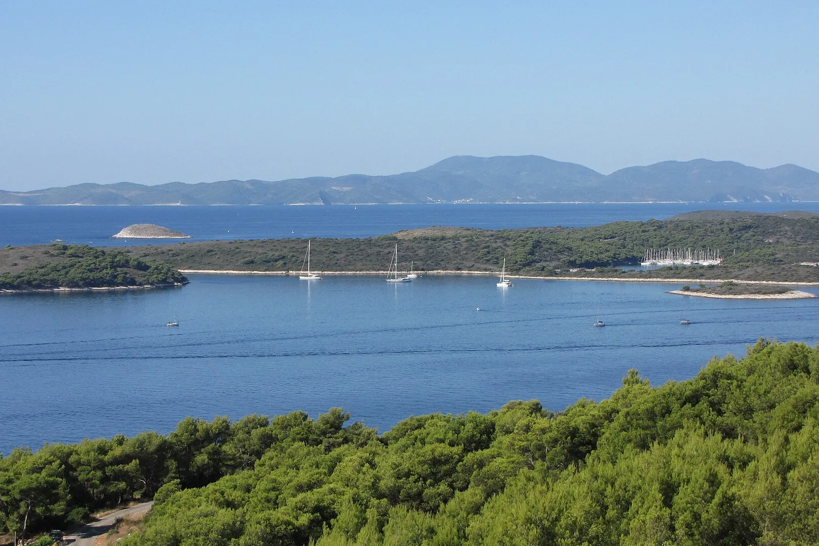
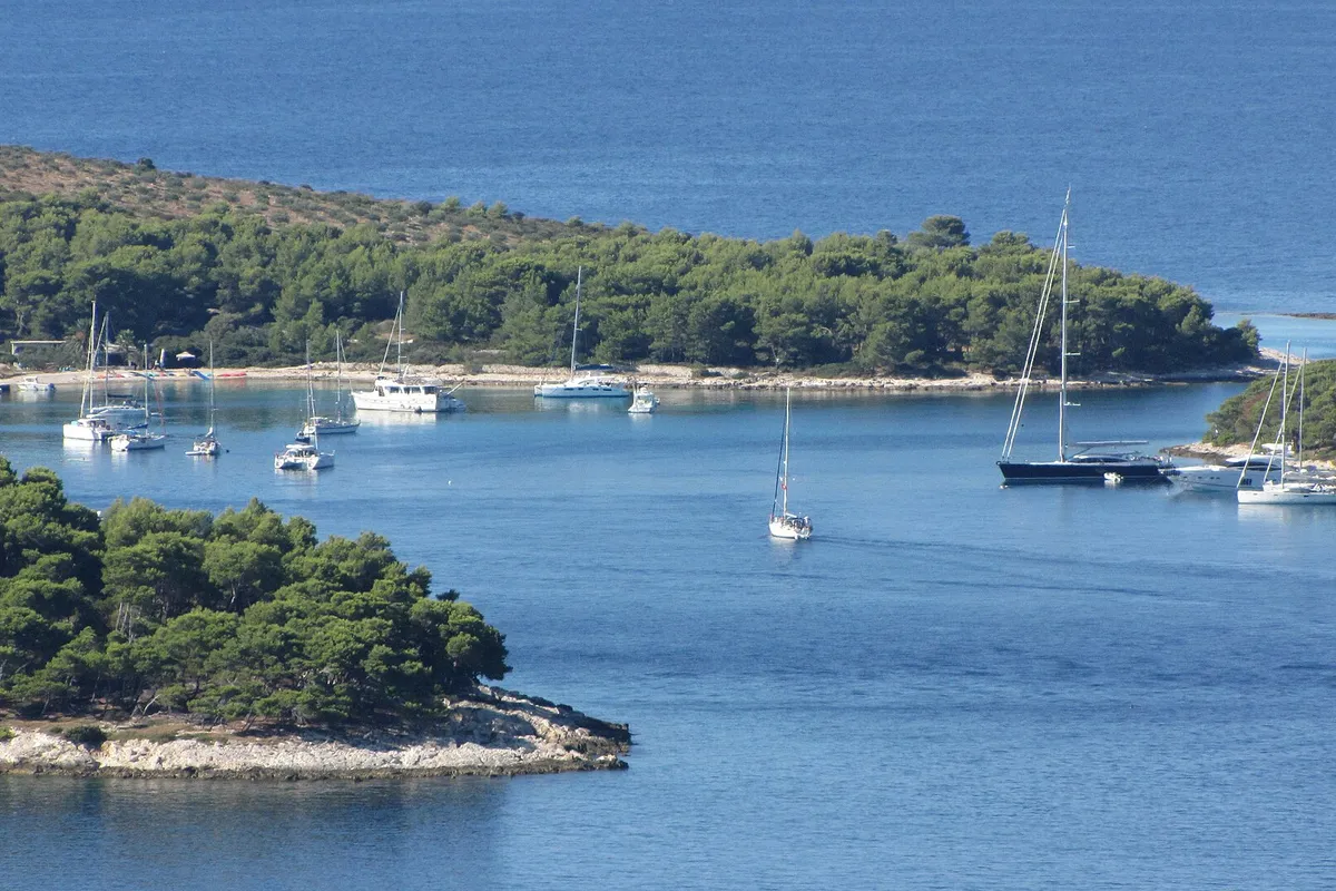
Pakleni islands, off Hvar town. Photo: “Pakleni otoci - panoramio (4)” by Dejan Sekuloski, CC BY 3.0, cropped and resized
Hvar town, island of Hvar. Photo: “Aerial image of Hvar (view from the south)” by Carsten Steger, CC BY-SA 4.0, cropped and resized
Stončica, east coast of Vis. Photo: “Stoncica beach bay on Vis island, Croatia” by dronepicr, CC BY 2.0, resized
Kut, Vis town, island of Vis. Photo: “J32 421 Vis-Stadt, Lučica” by Falk2, CC BY-SA 4.0, resized
Komiža, Vis, the harbour. Photo: “Hafen Komiza auf der Insel Vis in Kroatien” by dronepicr, CC BY 2.0, resized
Ždrilca, Pakleni islands, off Hvar town. Photo: “Zdrilca - panoramio” by Dejan Sekuloski, CC BY 3.0, cropped and resized
Blue Cave, Biševo, near Komiža. Photo: “Biševo - Blue Cave - 2021-07-30 11-56-09 2642” by Pierre-Selim Huard, CC BY 4.0, cropped and resized
Show all 20 photo creditsShow fewer photo credits
Milna, island of Brač. Photo: “Milna, kikötő - panoramio” by Sztudva Gyöngyi, CC BY-SA 3.0, cropped and resized
Uvala Šešula, next to Maslinica, island of Šolta. Photo: “Šolta Maslinica Hrvatska Uvala Šešula 2019 08a” by Joadl, CC BY-SA 3.0 AT, cropped and resized
Split. Photo: “Aerial view of Marina Split in Croatia” by dronepicr, CC BY 2.0, cropped and resized
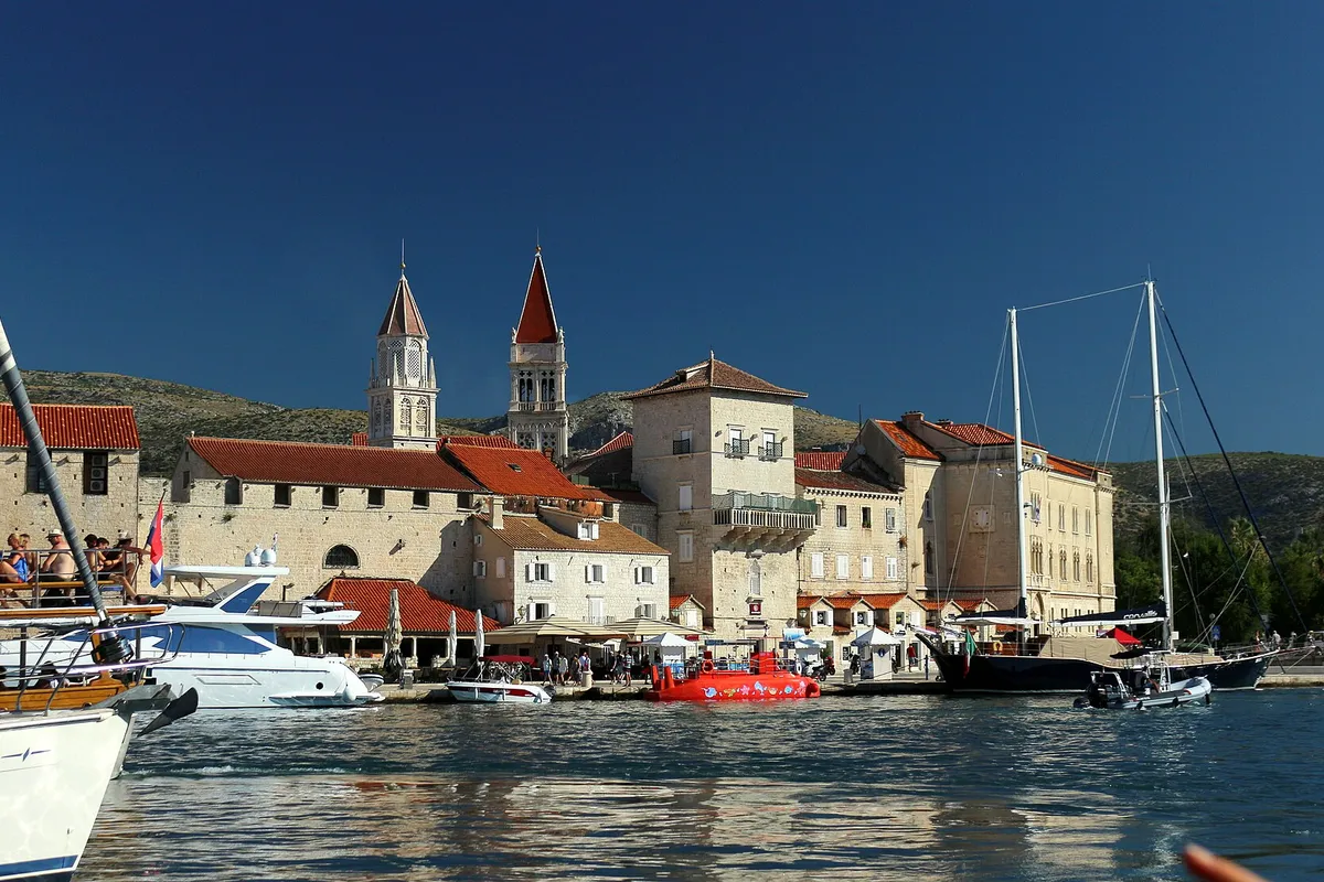
Trogir, the old town from the channel. Photo: “Trogir panorama města z lodi 1” by VitVit, CC BY-SA 4.0, cropped and resized
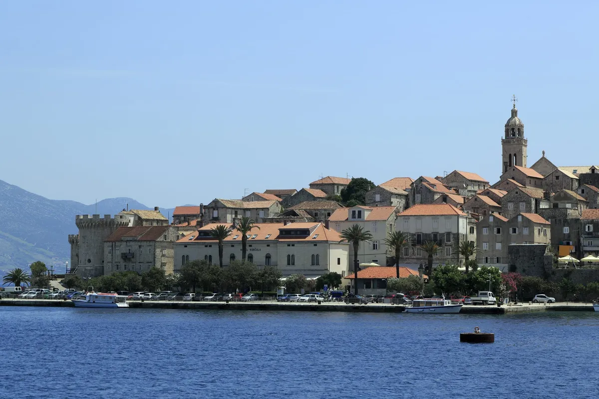
Korčula old town, island of Korčula. Photo: “J36 046 Altstadthalbinsel” by Falk2, CC BY-SA 3.0 de, resized
Lastovo town, island of Lastovo. Photo: “Lastovo-Stadt” by Tbachner, CC BY 3.0, cropped and resized
Pomena, island of Mljet. Photo: “Pomena” by Jaganjac, CC BY-SA 3.0, cropped and resized
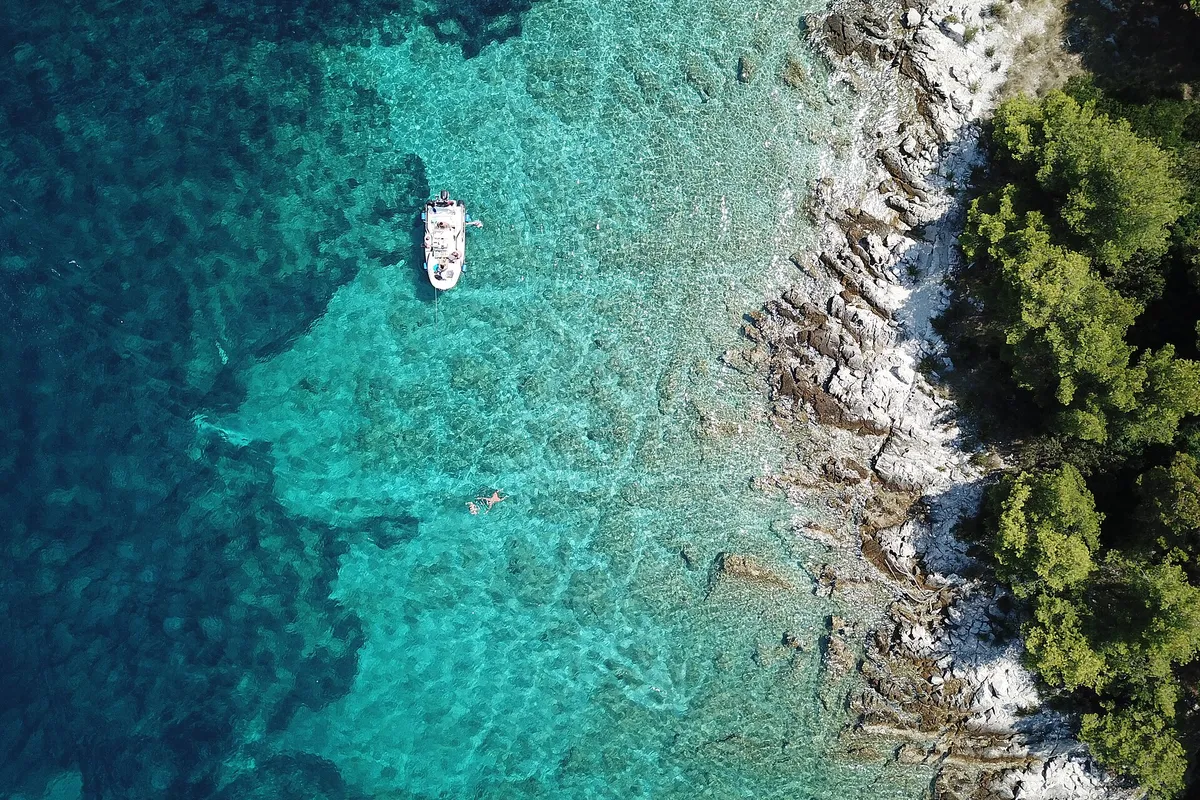
Saskinja bay near Maslinica, island of Šolta. Photo: “Ocean near Maslinica on Solta in Croatia” by Lennartbj, CC BY-SA 4.0, cropped and resized
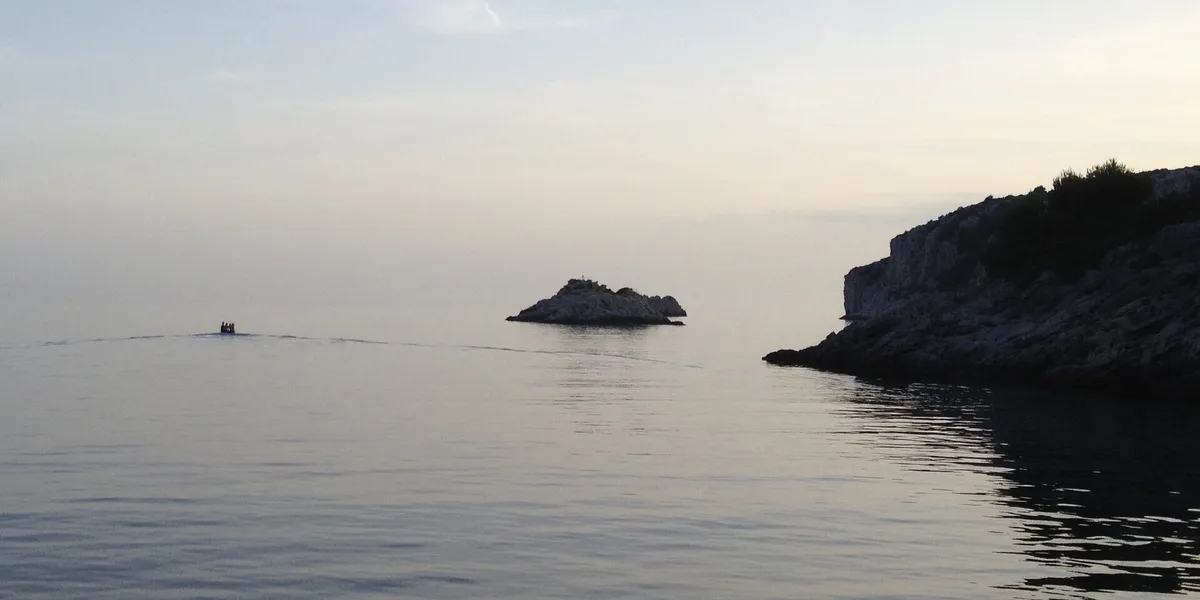
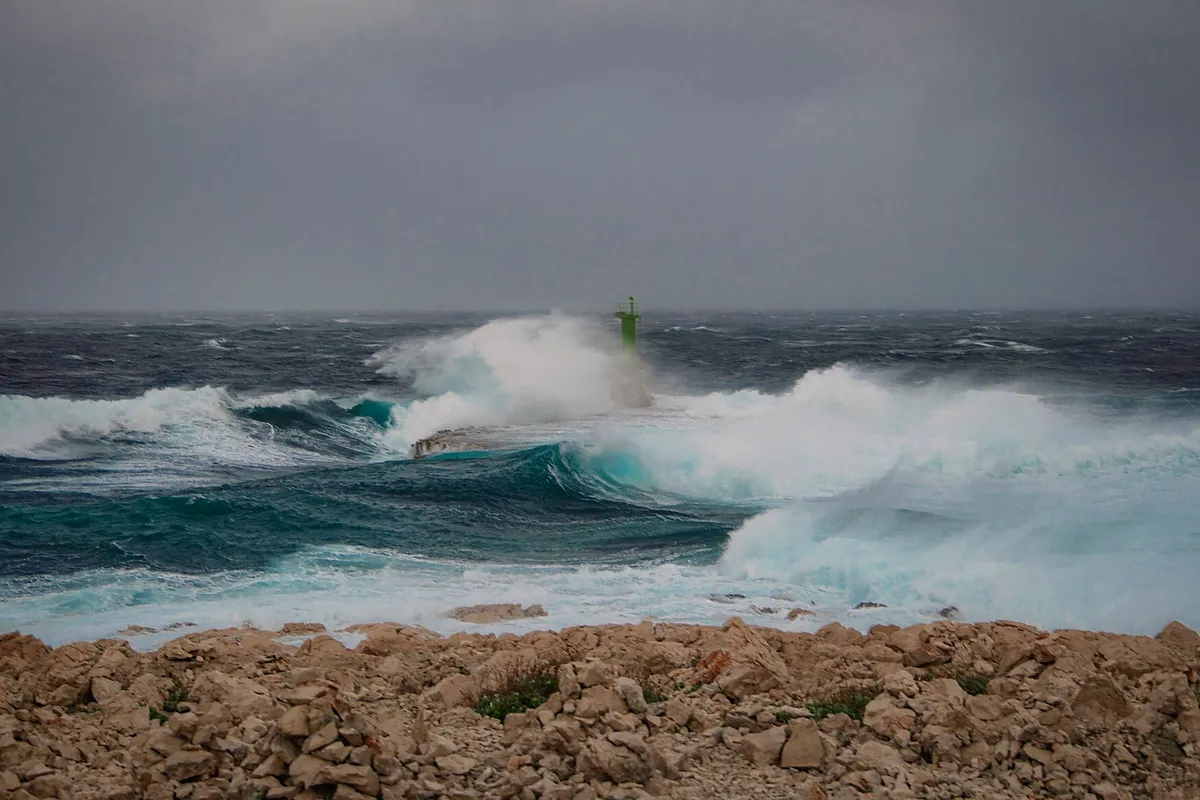
Croatian Adriatic coast, place not named by the author. Photo: “The power of nature in Croatia” by otrow_photography, CC0, cropped and resized
ACI Marina Trogir, Čiovo shore of the Trogir channel. Photo: “Trogir marina 053” by Ante Perkovic, CC BY 3.0, cropped and resized
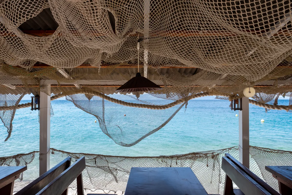
A seaside restaurant terrace in Zaostrog, Dalmatia. Photo: “Fishing-themed restaurant terrace, Zaostrog, Croatia (PPL1-Corrected) julesvernex2” by Jules Verne Times Two, CC BY-SA 4.0, cropped and resized