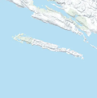
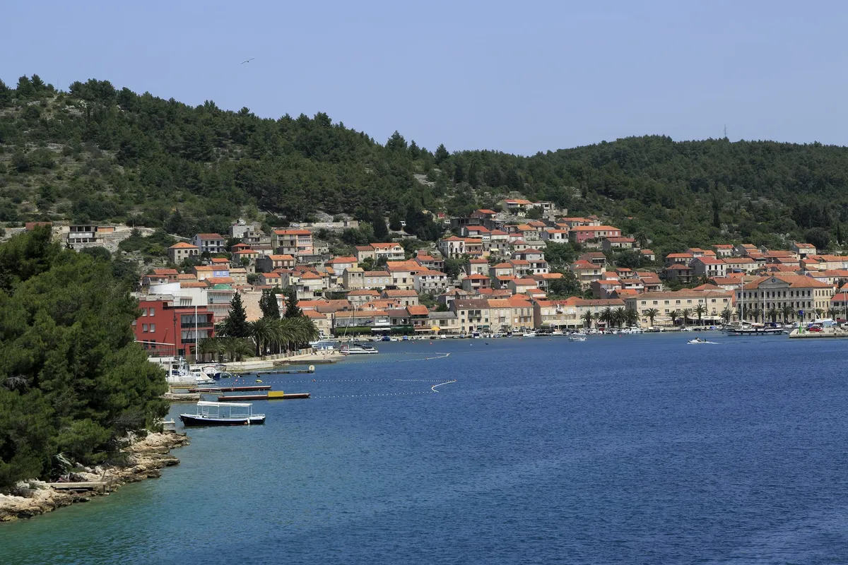
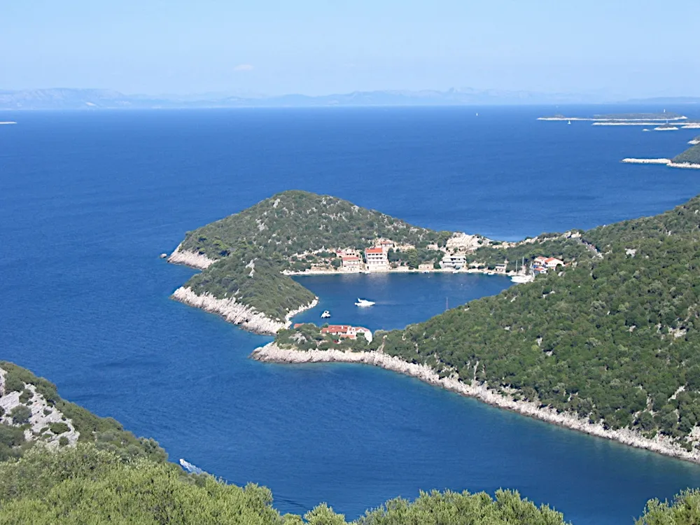
Mljet is the long, green island between Korčula and Dubrovnik, and its west end is a national park. Inside the park every boat needs a ticket for each day, and you may berth or anchor only round Pomena and Polače, the two harbours with paths to the lakes. Sobra, Prožurska Luka, Okuklje and Saplunara, further east, lie outside the park.
€90a day, 11 to 18 m boat, June to September (Official source, )
25 NMfrom Lastovo to Polače, about 4 h (Measured by us, )
15 NMfrom Pomena to Korčula, about 2½ h (Measured by us, )
All 76 facts on this page name their source, the latest checked on : 7 from the operator, 34 from official sources, 8 measured by us and 27 from third-party sources, such as pilot books and magazines, so treat those 27 as a guide.
A village quay in front of the hotel, at the west end of the park, 26 NM from Šipanska Luka. (Measured by us, )Boats berth along the shore in front of the hotel, in 2 to 4 m. Larger boats anchor south of Pomeštak islet. Our cautious answer:check the depth yourself before you come alongside. Our skipper reviewer hasn't checked this yet. (Third-party source, )
Pomena is sheltered from every wind, the online pilot says. The park describes its bay as protected by four islands. Our cautious answer:read the forecast before you count on the quay for the night. Our skipper reviewer hasn't checked this yet. (Third-party source, )
€72a day on the quay, 12 m boat, 1 May to 1 Oct, 2025 decision (Official source, )
The way in, and anchoring in Lokva
Islets, rocks and shoals lie off the shore from Glavat to Goli: the rock Crna Seka, three reefs and a 3 m shoal south-east of Glavat, a 2 m shoal off Pomeštak's north-east shore, and the rock Galicija west of Pomeštak, with a shoal between them. Coming from the north-east, pass north-west of Glavat. Coming from the south-west, watch for the rock Šij north of Goli rat point, and give the rock Crna Seka Donja, about 400 m north-east of Sparožni point, a wide berth: it is shallow round it. Our cautious answer:come in slowly, by a current chart, not by this summary. Our skipper reviewer hasn't checked this yet. (Third-party source, )HHI warns of a yellow measuring buoy on the way into Pomena from the south side of the rock Galicija. (Official source, )A sewage outfall runs about 1,400 m out from the Mljet shore east of Pomeštak islet, and ends west of the rock Crna seka. (Official source, )Lokva bay, west of Pomena and south of Pomeštak, is sheltered from every wind, the online pilot says. Imray's 2024 supplement calls it very sheltered, most of all on its west side. Our cautious answer:read the forecast before you count on Lokva for the night. Our skipper reviewer hasn't checked this yet. (Third-party source, )In Lokva the anchor holds poorly in sand at about 12 m, and the mooring buoy there isn't kept up, so don't tie to it. Our cautious answer:dig the anchor in and check it before you leave the boat. Our skipper reviewer hasn't checked this yet. (Third-party source, )Imray's 2024 supplement says party boats play loud music in Lokva into the early hours in season. (Third-party source, )Water, power and showers: unknown. Tell us about the water, power and showers at Pomena
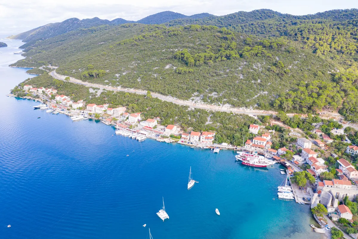
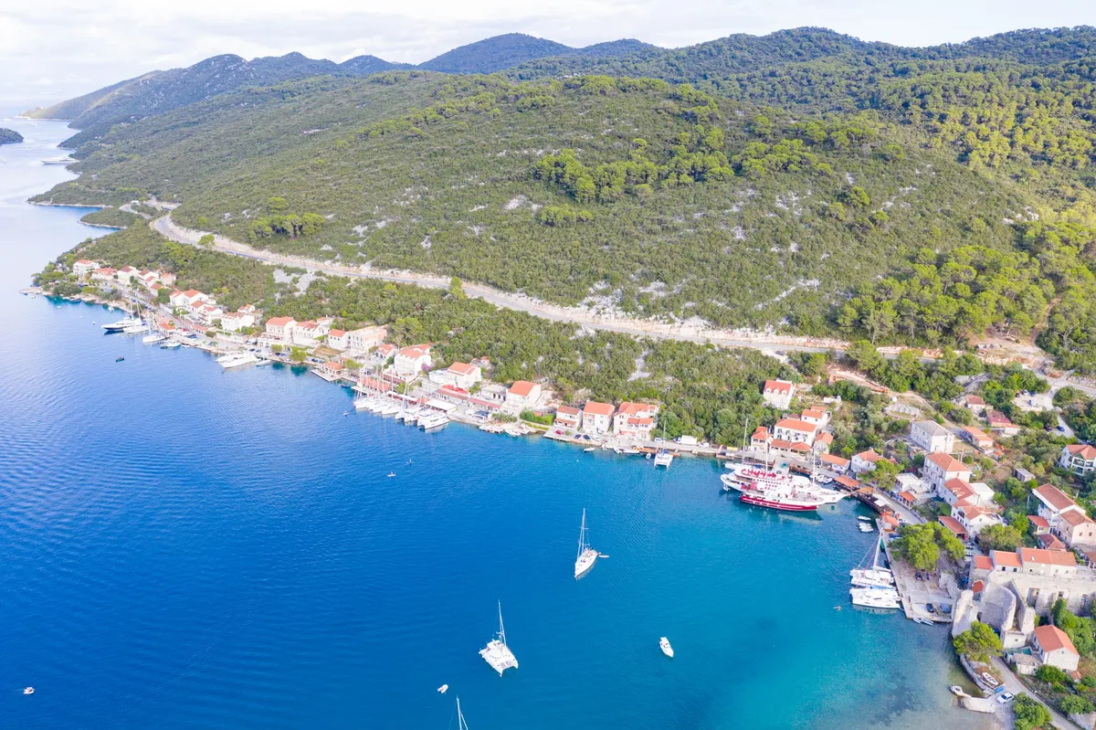
Photo: “Blick auf den Hafen Polace auf Mljet, Kroatien” by dronepicr, CC BY 2.0, cropped and resized
Polače
A village quay in a long bay behind a screen of islets, among the ruins of a Roman palace, 25 NM from Zaklopatica on Lastovo. (Measured by us, )Boats berth on the pier in front of the village, in about 5 m, or moor fore and aft along the north-west part of the landing, in about 2 m. Our cautious answer:check the depth yourself before you come alongside. Our skipper reviewer hasn't checked this yet. (Third-party source, )
The inner part of Polače bay is sheltered from every wind and sea, the online pilot says. The park calls it the largest and safest bay in the area. Our cautious answer:berth or anchor in the inner bay, and treat the outer bay among the islets as open. Our skipper reviewer hasn't checked this yet. (Third-party source, )
€60a day on the quay, 12 m boat, 1 May to 1 Oct, 2025 decision (Official source, )
The way in, anchoring and the fee at anchor
Islets lie off the entrance to Polače: Kobrava, Ovrata, Moračnik and Tajnik. The rock Kula, with a white light, stands in the passage between Križice point and Kobrava's east point. The Moračnik rock lies between Mljet and Moračnik, with shallows round it, and it is shallow round Stupa point too. The Stupa shoal runs up to 200 m west-south-west from Moračnik's south-west point, and opposite it, nearer Mljet, is a rock with a 3 m shoal. Our cautious answer:come in slowly, by a current chart, not by this summary. Our skipper reviewer hasn't checked this yet. (Third-party source, )At anchor inside a county port's area you pay half the berth fee, so €30 for a 12 m boat in Polače, whose port area takes in the channels between the islets out to the park's edge. (Official source, )Small boats anchor in Rogač cove, in the west of the bay, where the anchor holds well in mud. Larger boats anchor north-east of the palace ruins, west of Tajnik islet, or west and south-west of Kobrava in Tatinica Mala. Our cautious answer:check that the anchor holds before you leave the boat. Our skipper reviewer hasn't checked this yet. (Third-party source, )A shoal runs out about 200 m from the shore below the ruins of the old palace. Our cautious answer:keep well off the shore below the palace ruins. Our skipper reviewer hasn't checked this yet. (Third-party source, )About 5.5 NM from Polače to Pomena round the north-west end of the island. (Measured by us, )
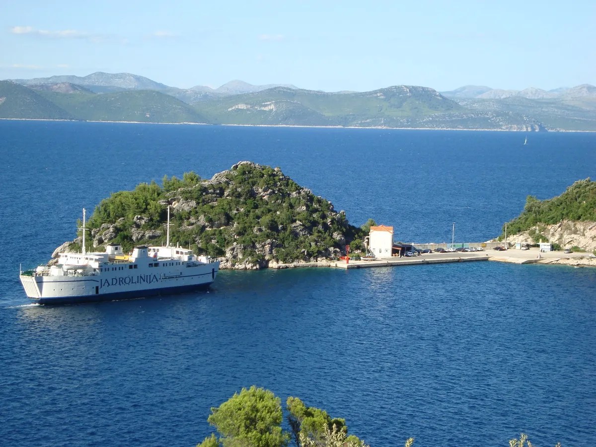
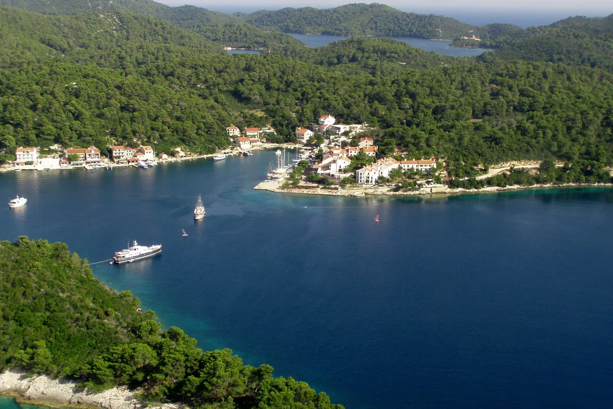
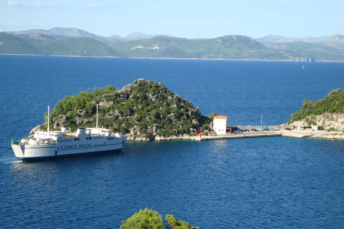
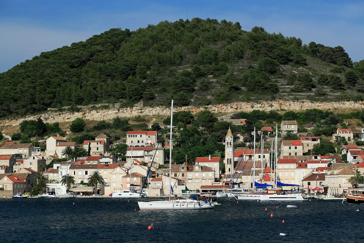
The island's ferry port, on the north coast east of the park. Sobra's port is in Zaglavac bay, 2 km from the village. Its quay is kept for the ferries and working boats, but yachts may use the 55 m by the east ramp when the ferries don't need it. (Official source, )
Sobra bay is open to easterlies, the bura and the jugo, and the online pilot doesn't recommend it for a longer stay. It says the west arm, Klačna luka, is sheltered from north-westerlies, and the east arm, Zaglav, from southerlies. Our cautious answer:don't plan a night in Sobra if an easterly, a bura or a jugo is forecast. Our skipper reviewer hasn't checked this yet. (Third-party source, )
€60a day on the quay, 12 m boat, 1 May to 1 Oct (Official source, )
The way in, fuel, the fish farm and the reef
The low rock Seperka lies about 120 m east of Pusti rt, and it is shallow round the rock and the point, so round the point at least 300 m off. Our cautious answer:come in slowly, by a current chart, not by this summary. Our skipper reviewer hasn't checked this yet. (Third-party source, )Zaglavac bay, where the ferries berth, has the island's only fuel station. (Official source, )HHI warns of a fish farm in Sobra bay, in an area centred near 42°44.35′N 017°38.38′E. (Official source, )In Klačna luka, the west arm of the bay, an underwater reef lies at about 0.8 m. Our cautious answer:stay out of Klačna luka unless a current chart shows you the reef. Our skipper reviewer hasn't checked this yet. (Third-party source, )
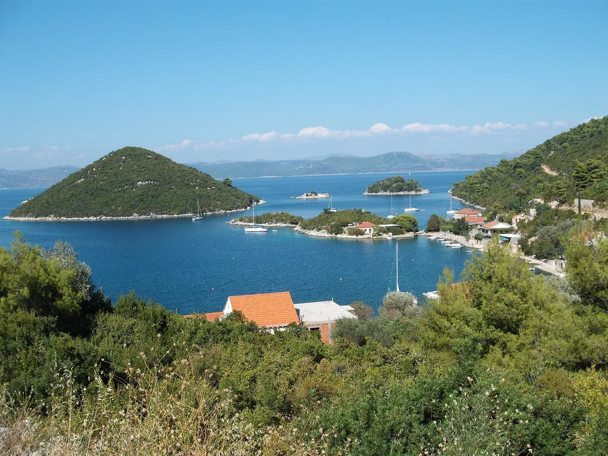
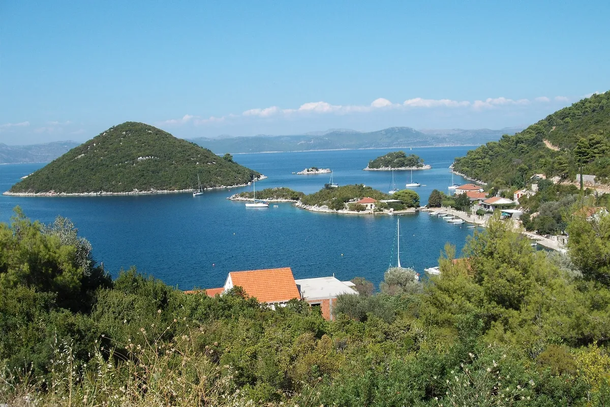
A small bay of buoys and a short quay behind Planjak islet, on the north coast east of Sobra. The port has 52 m of quay for yachts and a laid buoy field; 6 m of quay at the south end are kept for working boats. (Official source, )Imray's 2024 supplement says buoys now fill the bay, leaving no room to anchor. (Third-party source, )
Prožurska Luka is sheltered from every wind, the online pilot says, but the bura and north-westerlies raise moderate waves in the bay. Our cautious answer:if a bura or a north-westerly is forecast, expect waves in the bay and check your mooring. Our skipper reviewer hasn't checked this yet. (Third-party source, )
€40a night on a buoy, boat up to 13 m (Official source, )
The way in, the south quay and a short stop
Come in between the west side of Planjak islet and Mljet, above all in wind. Don't pass between the Senjevci rocks, east of Planjak, and the shore: two reefs lie in that gap. Our cautious answer:use the passage west of Planjak, by a current chart. Our skipper reviewer hasn't checked this yet. (Third-party source, )The quay in the south part of the bay has only up to 1.5 m of water. Our cautious answer:check the depth yourself before you come alongside. Our skipper reviewer hasn't checked this yet. (Third-party source, )The port authority's buoys in Prožurska Luka cost €40 for up to 24 hours for a boat up to 13 m, or €20 for up to 4 hours. (Official source, )
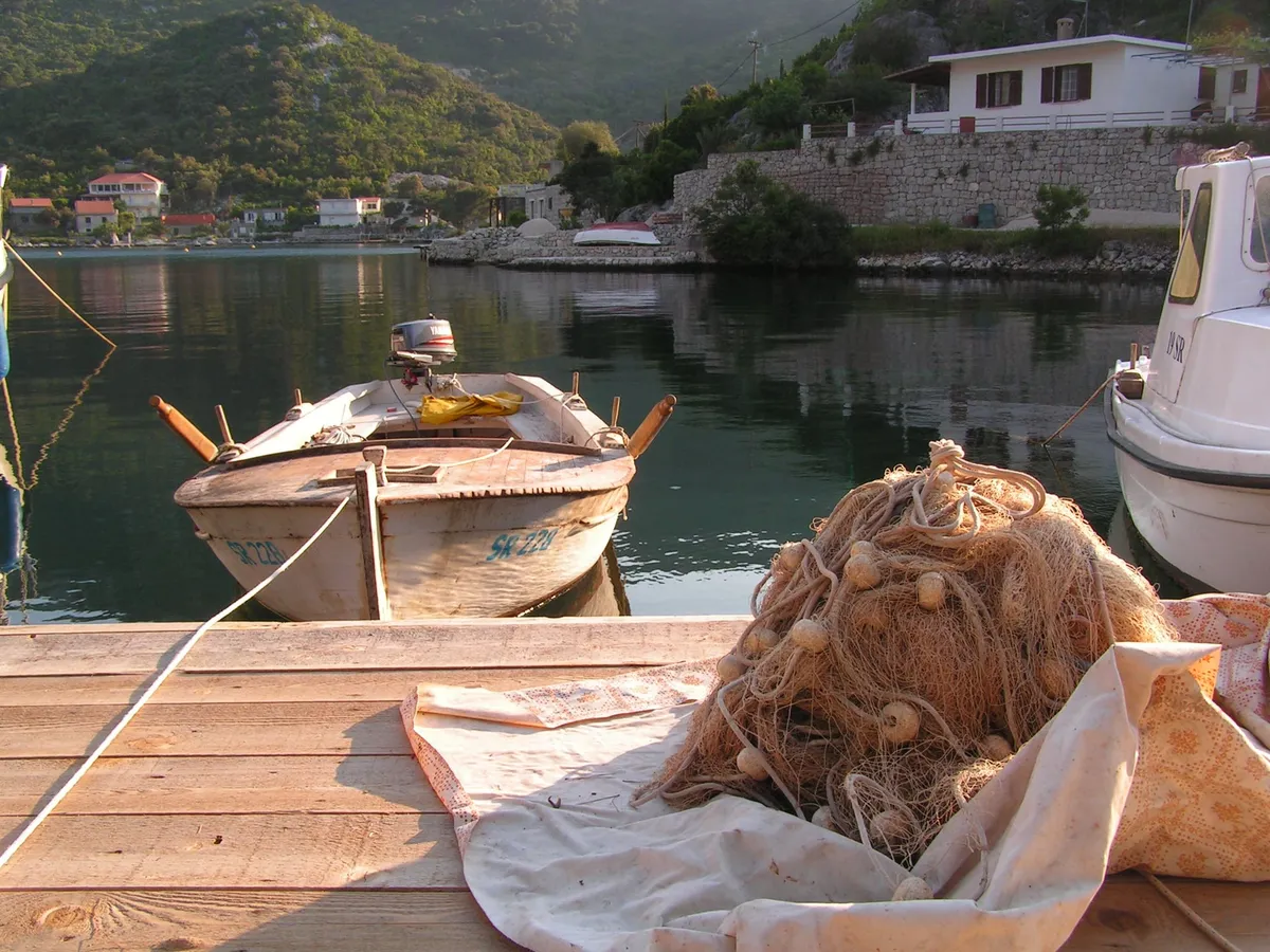
A small village and its quay in a bay on the north coast, near the east end of the island. Of Okuklje's 83 m of quay, 34 m are berths for yachts and 10 m at the north end are kept for working boats. The county also uses the bay as a safe harbour for the ferries that usually spend the night in Sobra. (Official source, )
Okuklje is sheltered from every wind, the online pilot says, and it calls Okuklje the most sheltered bay on Mljet; the park calls it very well protected. Very strong south-easterlies or south-westerlies set up swirling gusts (eddies) in the bay, so watch the anchor. Our cautious answer:in a strong south-easterly or south-westerly, check the anchor often. Our skipper reviewer hasn't checked this yet. (Third-party source, )
€60a day on the quay, 12 m boat, 1 May to 1 Oct (Official source, )
The way in, berthing and anchoring
Coming from the north-west, watch for a 4 m shoal off Maharac point. Our cautious answer:come in slowly, by a current chart, not by this summary. Our skipper reviewer hasn't checked this yet. (Third-party source, )The pier with the green light has up to 4 m alongside, but boats may use it only on days with no ferry. Boats also moor fore and aft along the quay south of the pier, and along the quay round the islet in the west of the bay, in up to 2 m. The north and west parts of the quay have only 1 to 2 m. Our cautious answer:check the depth yourself before you come alongside. Our skipper reviewer hasn't checked this yet. (Third-party source, )You may anchor in the bay, but the pebble bottom holds poorly. The south-west part of the bay is shallow, with a rock marked by an iron pole. Our cautious answer:keep out of the south-west corner, and check that the anchor holds. Our skipper reviewer hasn't checked this yet. (Third-party source, )Restaurant Maestral offers to help sailors who need a place to dock in Okuklje. It publishes no berth price or terms, so ask when you book the table. (From the operator, )Restaurant moorings
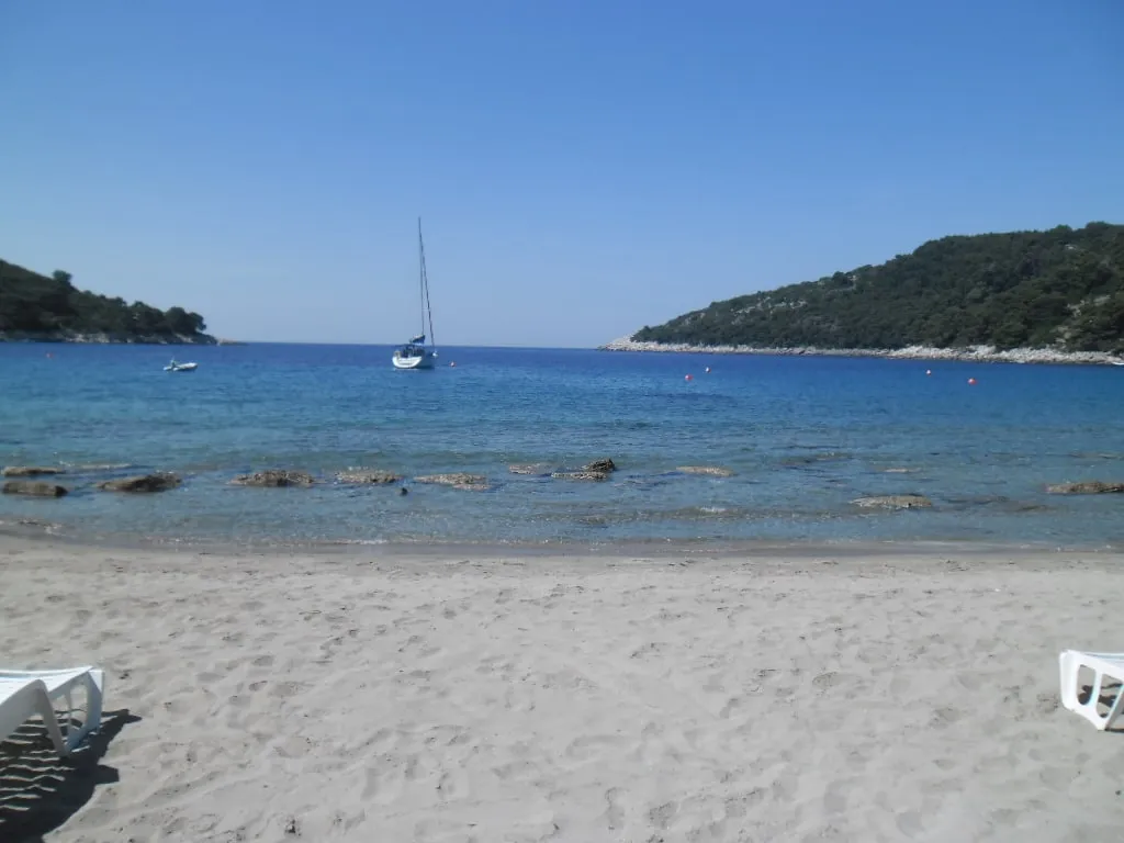
A sandy bay at the south-east tip of the island, for a night at anchor or on a restaurant's buoy. Saplunara's port has only 11 m of quay, all kept for working boats, so there is no berth for yachts. (Official source, )
Saplunara bay is sheltered from the jugo and the bura and open to the south-west, the online pilot says. Our cautious answer:leave if a south-westerly is forecast. Our skipper reviewer hasn't checked this yet. (Third-party source, )
The way in, anchoring and the buoys
A shoal lies about 300 m south-east of Zaglavac point. Our cautious answer:come in slowly, by a current chart, not by this summary. Our skipper reviewer hasn't checked this yet. (Third-party source, )Small boats anchor in the middle of the bay, the online pilot says, and the head of the bay is shallow. Imray's 2024 supplement says the restaurants' buoys now leave room to anchor only further out, in about 15 m on weed, where the holding is poor. Our cautious answer:anchor only where the anchor sets well, and check it. Our skipper reviewer hasn't checked this yet. (Third-party source, )The buoys in the bay belong to the restaurants, and Imray's 2024 supplement says they charge for one if you don't book a table. (Third-party source, )
Every place to stay on Mljet, at a glance
The price of a day for a 12 m monohull in summer 2026. The county port authority sets the fee at every quay and buoy field here, and only Pomena and Polače are inside the park.
The national park covers the west end of Mljet, its two salt lakes and the sea within 500 m of the island's outer headlands and islets. Polače and Pomena are inside it; Sobra, Prožura, Prožurska Luka, Okuklje and Saplunara are outside it. (Official source, )
The park sets its own rules for boats, on top of the rules for all Croatian waters. The ticket and where you may anchor matter most.
The boat's ticket
The west end of Mljet is a national park, and every boat needs a ticket. For an 11 to 18 m boat from June to September, one day costs €90 on the park's web shop or €100 in the park, and lasts to noon the next day. (Official source, )
Going ashore
The boat's ticket doesn't cover the lakes or the park's sites ashore: each person also needs a visitor ticket, €30 for an adult from 1 Jun to 30 Sep. (Official source, )
Where to anchor
In the park, boats berth on the quays and shore at Pomena and Polače, and anchor only round those two harbours: at Pomena in Lokva bay and out towards the west point of Pomeštak islet, keeping off Galicija islet; at Polače anywhere in Polače bay, from Rogač cove to Lenga point, and in the water inside the islets of Moračnik, Tajnik and Kobrava. Anchoring isn't allowed in the rest of the park's sea. (Official source, )
Bays closed to boats
Berthing and anchoring are banned in named bays: Križice, Zaklopita, Bijela, Zaobraslo Prijeslo and Stupa on the north coast; Liskanje, Borovac, Srednja, Međuporat and Lastovska, and between Pomeštak, Glavat, Borovac and Mljet, in the west; and Mala and Velika Blaca, Gonoturska, Grabova, the Vratosolina passage and the water round Utrnji and Vanji škoj in the south. (Official source, )
Speed
Within 150 m of the shore in the park, boats may go no faster than 5 knots. (Official source, )
The lakes
Visiting boats may not enter the Soline channel or the two lakes, Veliko jezero and Malo jezero. Only the boats of people who live or own property there, and the park's own, may. (Official source, )
Toilets and waste water
In the park you may not pump out a toilet or let waste water or oil into the sea. A boat with no holding tank may not use its toilet or drain its sink at a berth or at anchor. A boat caught doing it is fined and ordered out of the park. (Official source, )
Wind and shelter on Mljet
The three summer winds, and which harbours each one reaches. Check the forecast before you pick a night, and our guide to the winds for which forecast to trust.
The bura is a frequent cold wind on Mljet and the jugo brings cloud and rain. In summer the maestral blows every day, the park says. (Official source, ) Read the DHMZ marine forecast each morning.
Wind and sea, next 3 days
For Polače.
Model forecast from Open-Meteo.Not an official forecast.Not for navigation.
Each part of the day shows its strongest hourly wind and gust, and its highest wave, in Croatian time. The words follow the Beaufort scale, and the model can't tell a real bura from any other northeast wind. How to read a model forecast
In the park you may stop only where anchoring is allowed, so the swim stops are Lokva bay by Pomena and, outside the park, the sandy bay of Saplunara. No anchoring within 150 m of a natural beach, under the 2025 ordinance. (Official source, )Anchoring near beaches
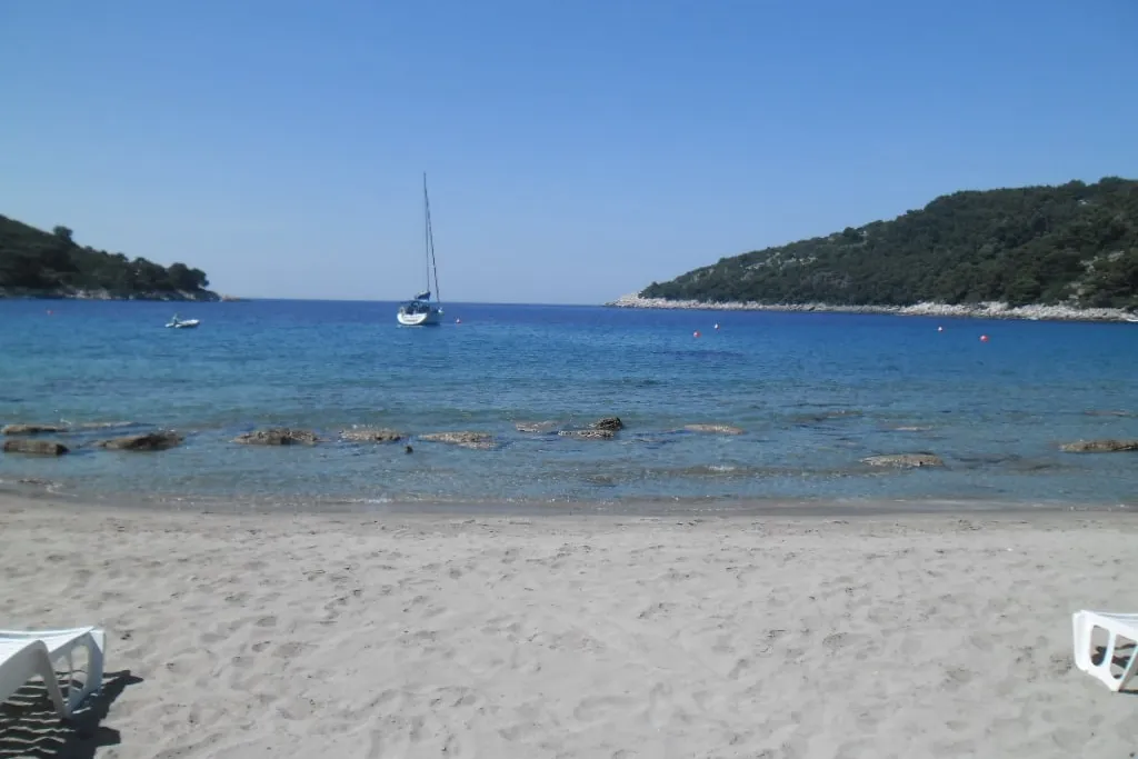
A sandy bay at the south-east tip of Mljet. Saplunara has sandy beaches, and the area is protected as a significant landscape. (Official source, )
How to stop
Small boats anchor in the middle of the bay, the online pilot says, and the head of the bay is shallow. Imray's 2024 supplement says the restaurants' buoys now leave room to anchor only further out, in about 15 m on weed, where the holding is poor. Our cautious answer:anchor only where the anchor sets well, and check it. Our skipper reviewer hasn't checked this yet. (Third-party source, )
Buoys
The buoys in the bay belong to the restaurants, and Imray's 2024 supplement says they charge for one if you don't book a table. (Third-party source, )
Rules it out
Saplunara bay is sheltered from the jugo and the bura and open to the south-west, the online pilot says. Our cautious answer:leave if a south-westerly is forecast. Our skipper reviewer hasn't checked this yet. (Third-party source, )
The bay west of Pomena, south of Pomeštak islet, and one of the park's places where you may anchor.
How to stop
In Lokva the anchor holds poorly in sand at about 12 m, and the mooring buoy there isn't kept up, so don't tie to it. Our cautious answer:dig the anchor in and check it before you leave the boat. Our skipper reviewer hasn't checked this yet. (Third-party source, )
Fee
The west end of Mljet is a national park, and every boat needs a ticket. For an 11 to 18 m boat from June to September, one day costs €90 on the park's web shop or €100 in the park, and lasts to noon the next day. (Official source, )
Shelter
Lokva bay, west of Pomena and south of Pomeštak, is sheltered from every wind, the online pilot says. Imray's 2024 supplement calls it very sheltered, most of all on its west side. Our cautious answer:read the forecast before you count on Lokva for the night. Our skipper reviewer hasn't checked this yet. (Third-party source, )
Two salt-water lakes a walk from Pomena or Polače, with a monastery on an islet in the larger one. A Benedictine monastery and the Church of St Mary, built from 1177 to 1198, stand on St Mary's islet in the south of the Great Lake. (Official source, )The visitor ticket includes a return boat trip to St Mary's islet, the marked paths round the two lakes and the electric train. (Official source, )You may swim in the park, the lakes included, except where signs forbid it. Diving is not allowed in the lakes. (Official source, )In summer the Small Lake is 26 to 29 °C and the Great Lake 24 to 26 °C. (Official source, )
Polače
The Roman palace in Polače
Polače stands on the walls of a late antique palace built near the end of the 5th century, among the remains of Roman villas, baths and an early Christian church. (Official source, )
On the route
Mljet is two nights of Two weeks from Split, a 293 NM loop: Polače on day 6 and Pomena on day 8. (Measured by us, )
A boat owner who cruises the south wrote in August 2024 that the konobas on Mljet used to hold up a mooring line for anyone, but for some years now take boats only with a booking made ahead, in Pomena and in Polače too.
A boat ownersommer on boote-forum.de · Posted · Retold in our words · Account not independently verified · Read the reply ↗
Help keep this page right
Sailed here this season? Tell us what you found. We check it with the source before anything changes.
Dubrovnik County Port Authority: decision on port tariffs 2026, Article 12, 3. Nautički dio luke (pages 9 and 10): €3.00 a metre a day, catamarans 150% if moored on four lines; port II category, section 4 (page 21): Šipan €40 a boat (Šipanska Luka: a night on the quay)
Mljet National Park: Information for yachtsmen, the opening paragraph, Berthing and anchoring, Navigation and Prohibitions (Where the park is on Mljet, where boats may anchor in the park on Mljet, bays closed to boats on Mljet, the speed limit near the shore on Mljet, boats and the lakes on Mljet, toilets and waste water on Mljet, swimming in the park on Mljet)
Mljet National Park: Price list page, 2026, the note under the boats' price list and Entrance fee for all visitors include (The visitor ticket on Mljet, what the visitor ticket includes on Mljet)
(Official source, )
Mljet National Park: FAQ, "Can I take a ship into the Lakes?" and "Average Lake temperature?" (Boats and the lakes on Mljet, the lakes' temperature in summer on Mljet)
Our route tool: our planning line by sea, with varying clearance near the coast and harbour approaches (Polače: distance from Zaklopatica, distance to Pomena, distance to Šipanska Luka. Pomena: distance to Korčula, distance from Šipanska Luka. Distances and hours for the two-week route from Split in South Dalmatia, distances and hours for the Split to Dubrovnik route in South Dalmatia)
(Measured by us, )
Our sum of the county port authority's fee and Gradina Vis d.o.o.'s 2026 port charge, both collected in the port (Vis town: a day on the town quay, in all)
Mljet National Park: Settlements, Pomena, Polače, Sobra, Okuklje, the lists of settlements inside and outside the park and Saplunara (Pomena: shelter at the quay. Polače: shelter on the quay, the Roman palace. Sobra: fuel. Okuklje: shelter. Where the park is on Mljet. Saplunara: the beaches)
Imray, Adriatic Pilot (8th edition, 2020), Supplement No. 1, May 2024, entry for book page 121, "Pomena", entry for book page 118, "Luka Prožura" and entry for book page 120, "Uvala Saplunara" (Pomena: shelter in Lokva bay, noise in Lokva bay. Prožurska Luka: room to anchor. Saplunara: anchoring in the bay, the restaurants' buoys)
operator (From the operator) official (Official source) seen by us (Seen by us) by a sailor (Seen by a sailor) measured (Measured by us) disputed (Sources disagree) third party (Third-party source) How we check
Photos on this page
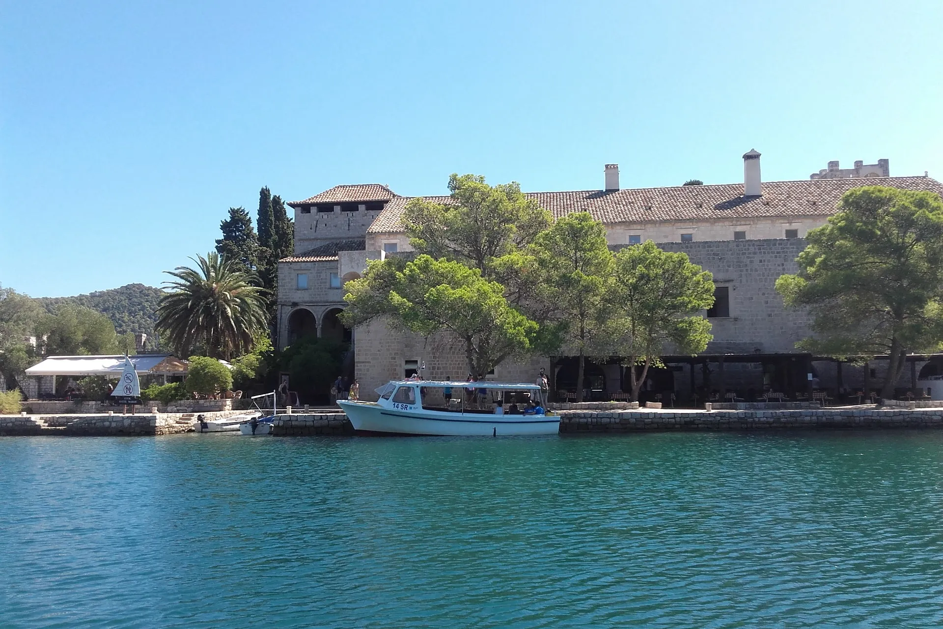
St Mary's islet, Veliko jezero, Mljet National Park. Photo: “Tiny Island of Saint Mary” by Bpavkovic, CC BY-SA 4.0, cropped and resized
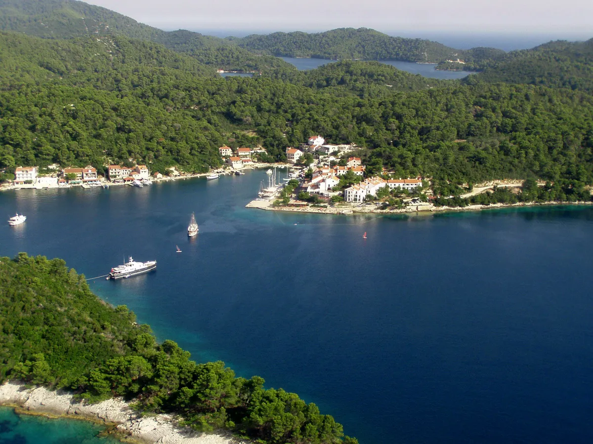
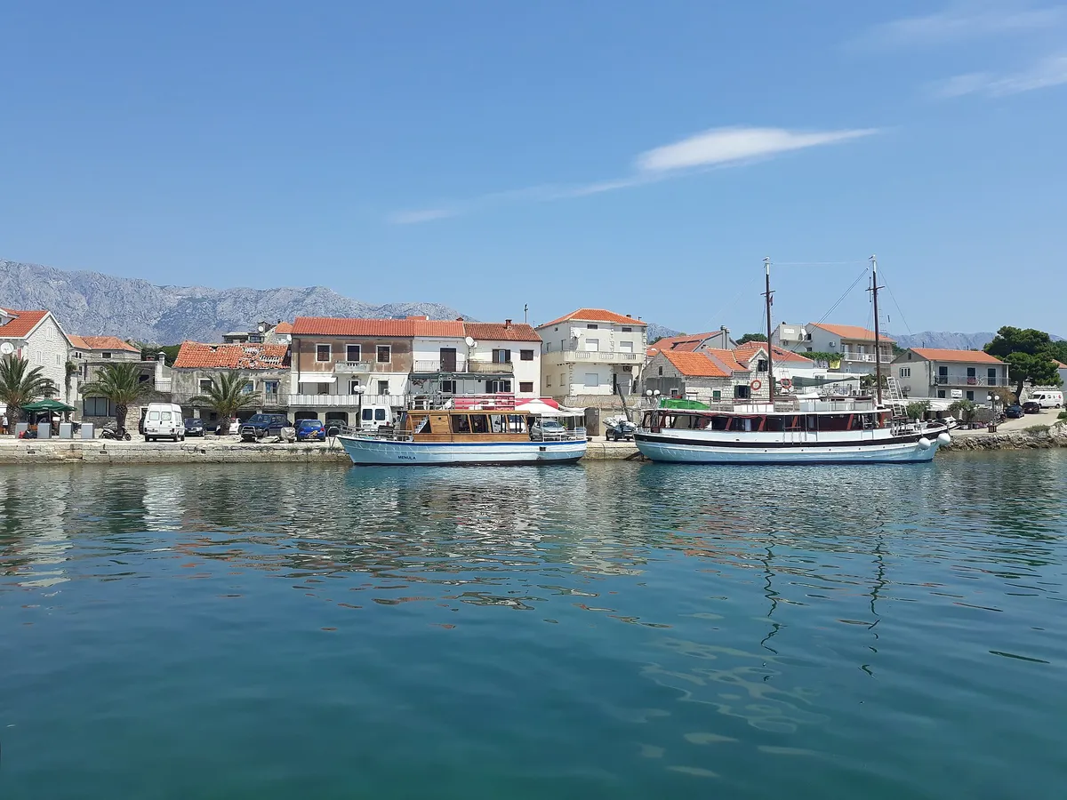
Pomena, island of Mljet. Photo: “Pomena” by Jaganjac, CC BY-SA 3.0, cropped and resized
Polače, island of Mljet. Photo: “Blick auf den Hafen Polace auf Mljet, Kroatien” by dronepicr, CC BY 2.0, cropped and resized
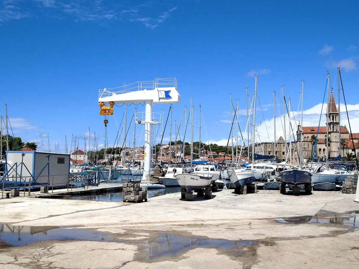
Zaglavac bay, the port of Sobra, Mljet. Photo: “Zaglavac” by Jaganjac, CC BY-SA 3.0, cropped and resized
Prožurska Luka, north coast of Mljet. Photo: “Prozurska luka” by Enzyklofant, CC BY-SA 3.0, cropped and resized
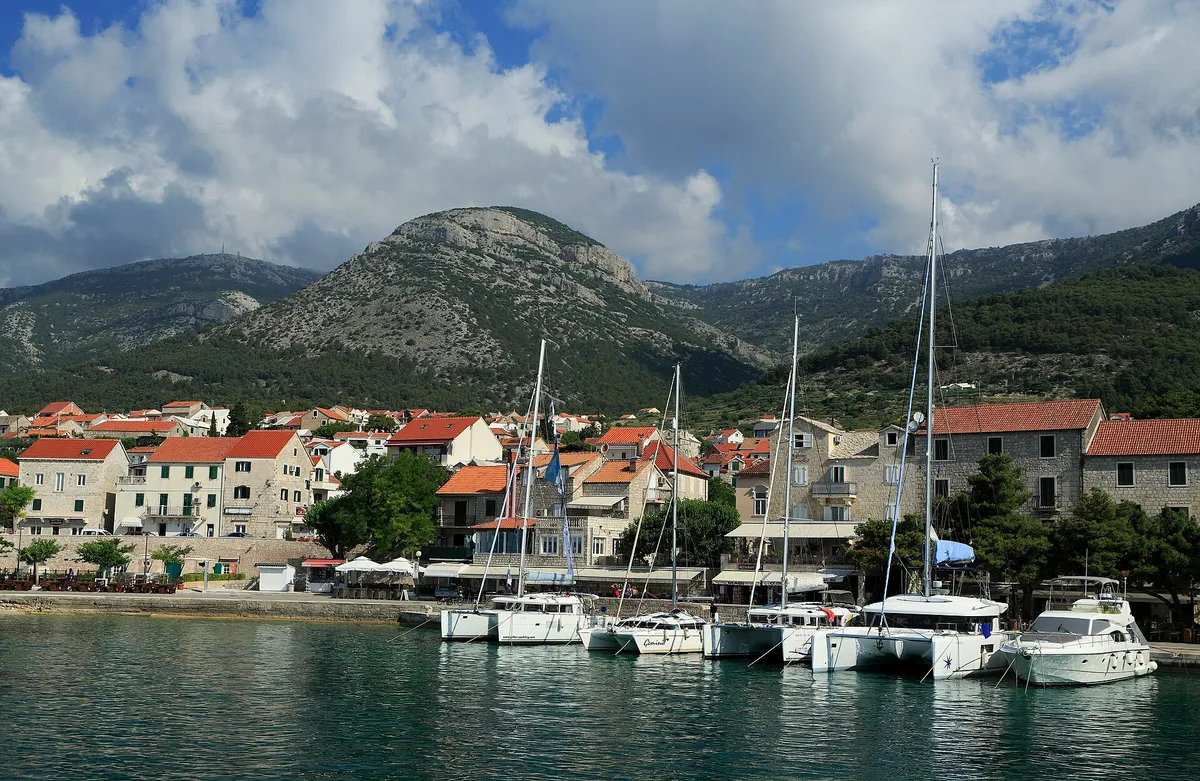
Okuklje, north coast of Mljet. Photo: “Okuklje” by Ylvo, CC BY-SA 3.0, cropped and resized
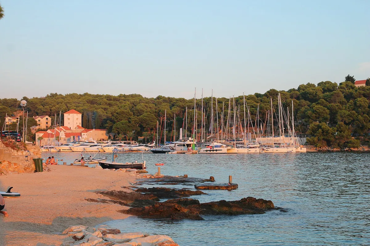
Saplunara, south-east tip of Mljet. Photo: “Saplunara (Mljet)” by August Dominus, CC BY-SA 3.0, cropped and resized
Zaklopatica, island of Lastovo. Photo: “Zaklopatica bay - panoramio” by Aleksandar Topuzović, CC BY 3.0, cropped and resized
Show all 10 photo creditsShow fewer photo credits
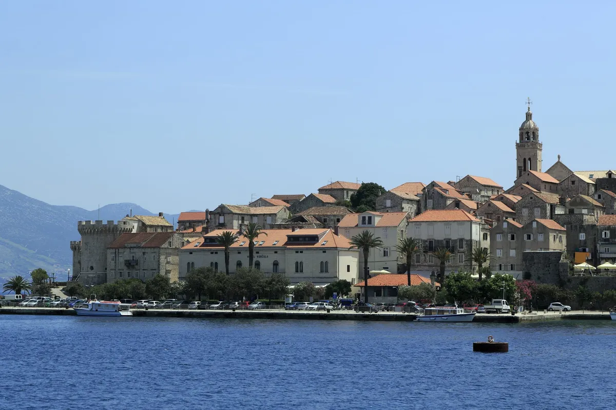
Korčula old town, island of Korčula. Photo: “J36 046 Altstadthalbinsel” by Falk2, CC BY-SA 3.0 de, resized
Šipanska Luka, island of Šipan. Photo: “Šipanska Luka, Elaphiti Islands, Croatia” by Charles J. Sharp, CC BY-SA 4.0, cropped and resized