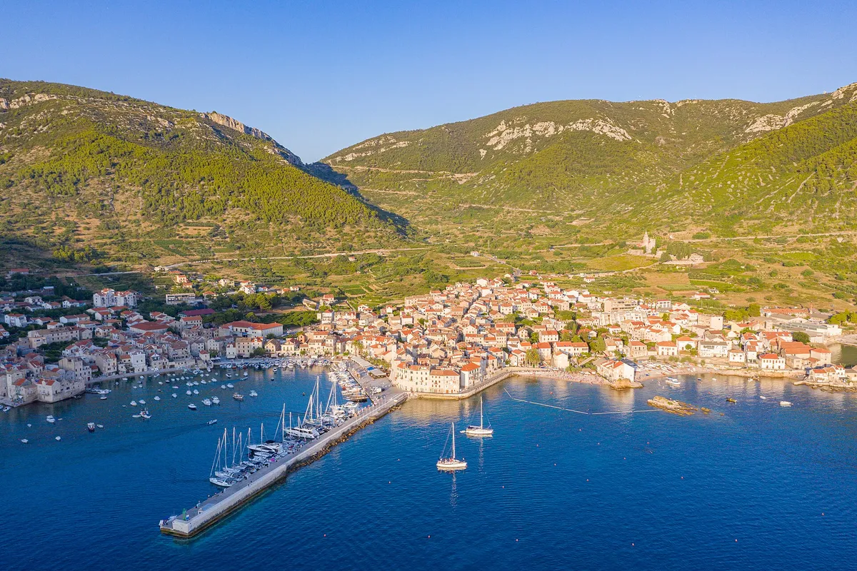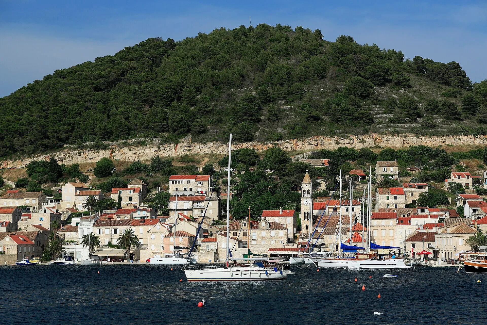
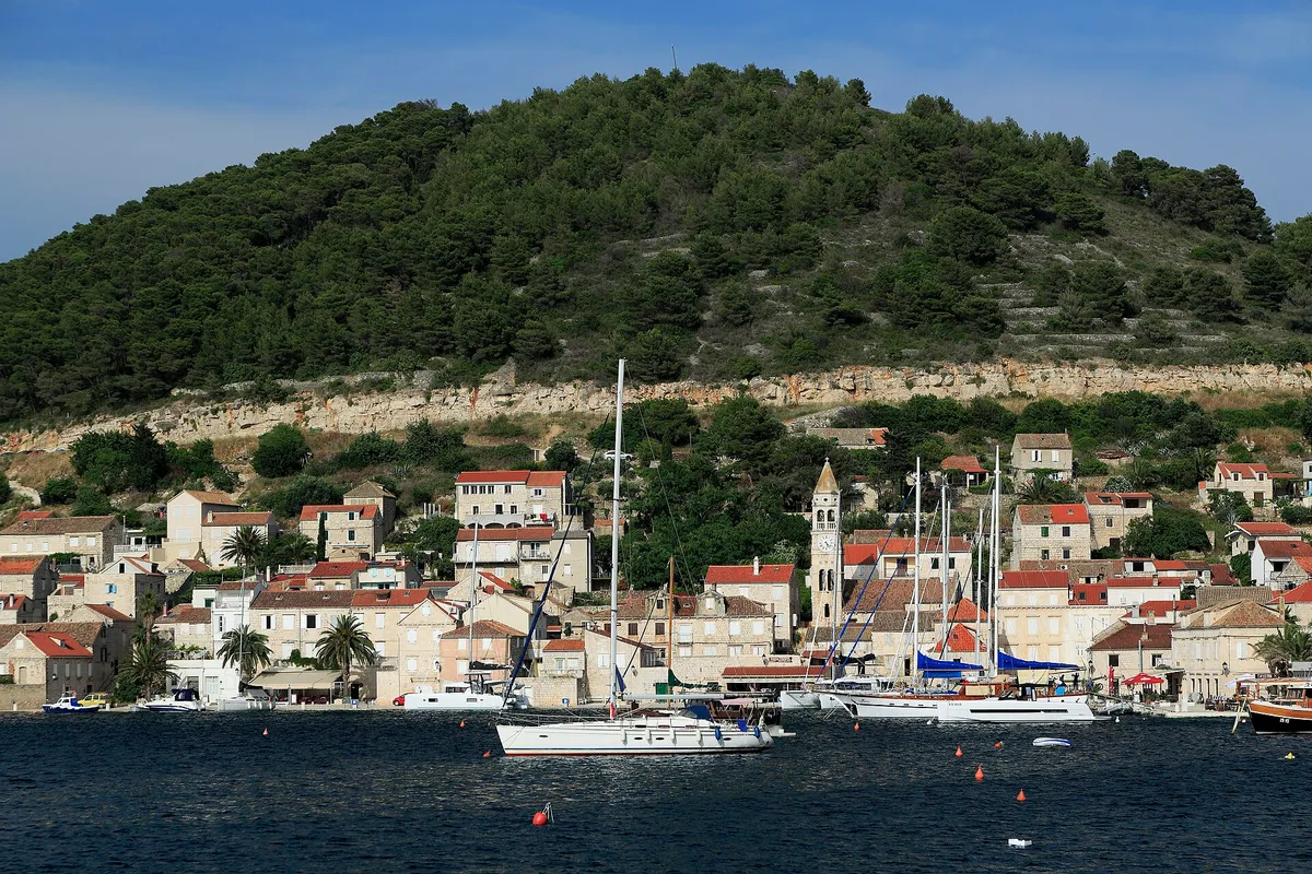
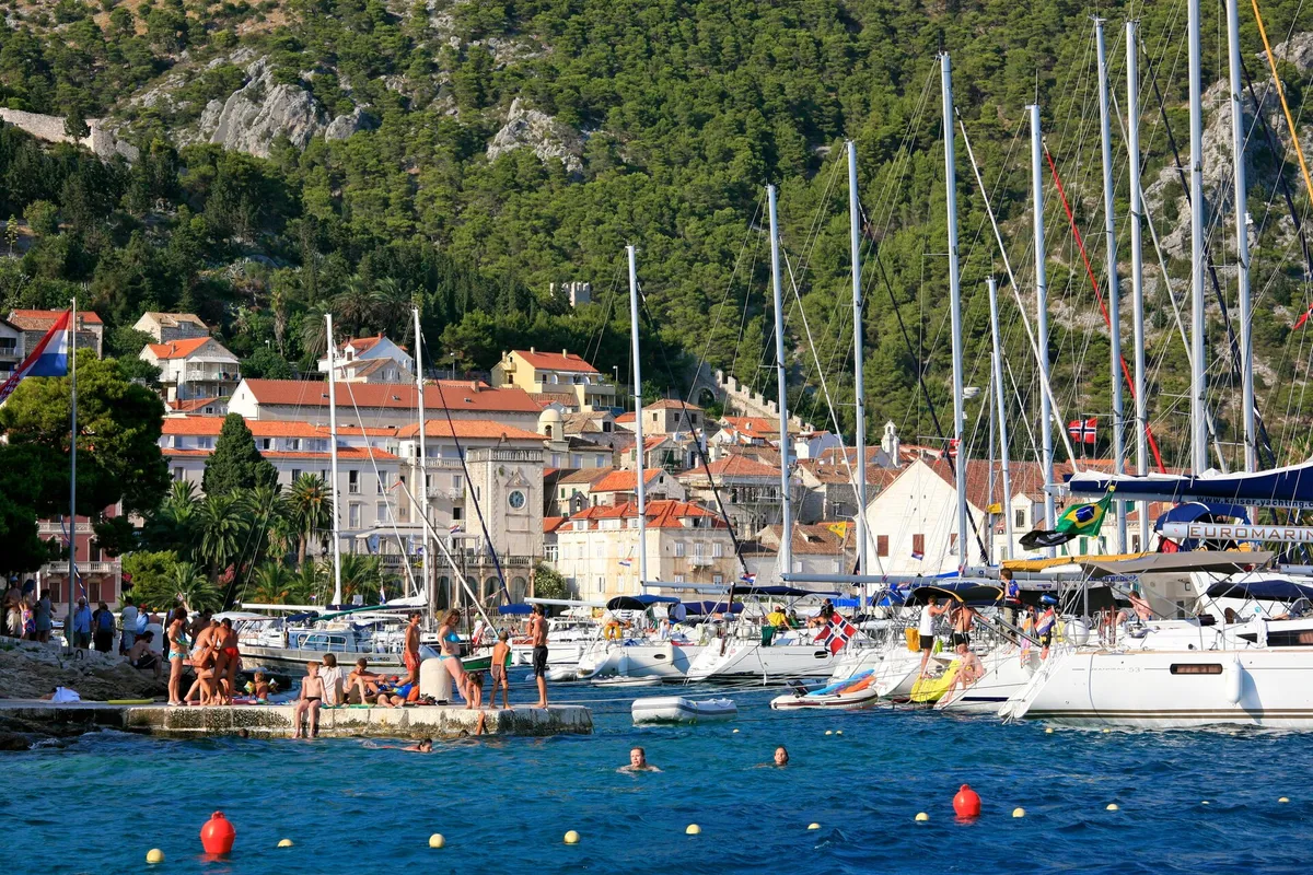
Town quay and buoys, Vis
Vis town harbour
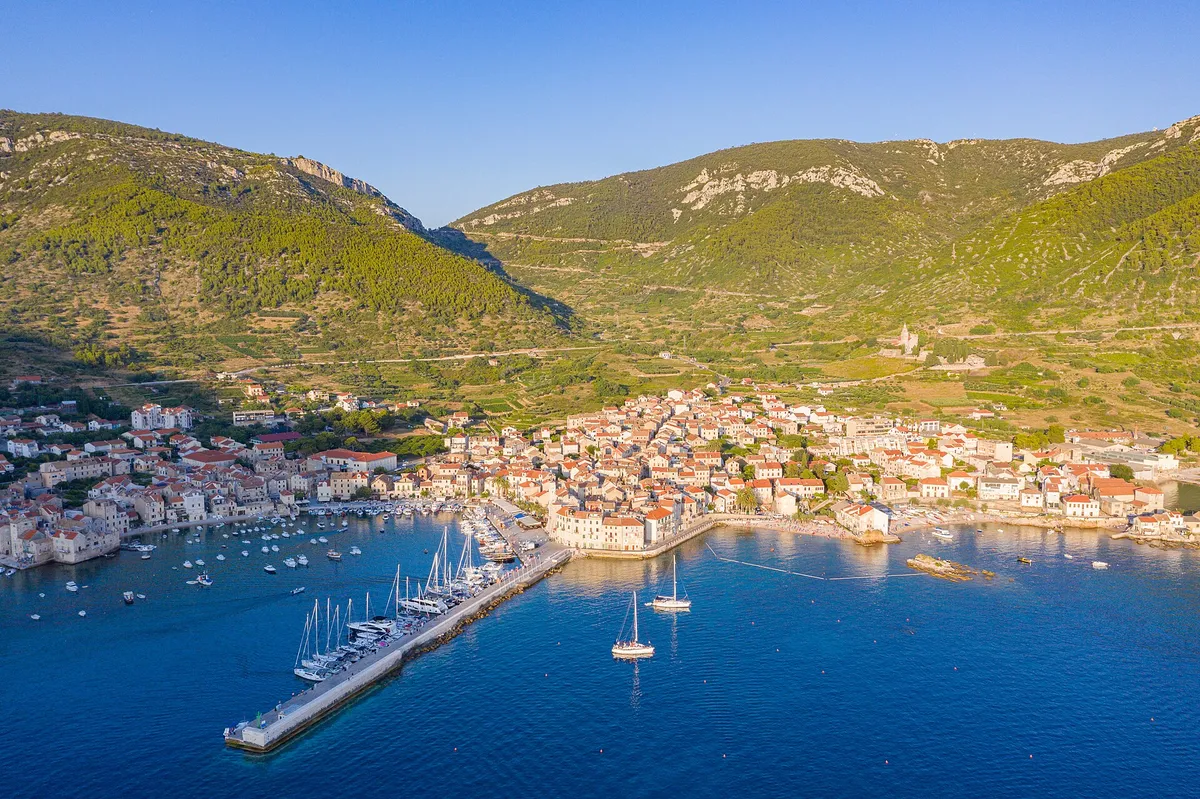
Vis town harbour is the main port of the island of Vis, a county port with about 100 berths on two town quays and buoys in the bay. A 12 m boat pays about €119.15 a day on the quay in 2026. Treat the main quay as open to N and NE winds.

All 39 facts on this page name their source, the latest checked on : 15 from the operator, 16 from official sources and 6 measured by us. The sources disagree on one point, in 2 facts: shelter.
Written by Domagoj Franc, editor. Reviewed by Ivor Benko, skipper.
Tonight in Vis town harbour
Can we stay here tonight? Yes, all year, on the town quay or a buoy in the bay. (Official source, )
Shelter by wind in Vis town harbour
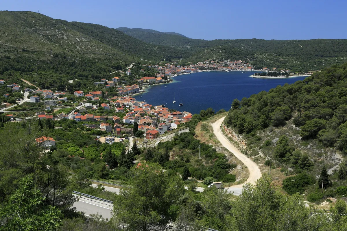
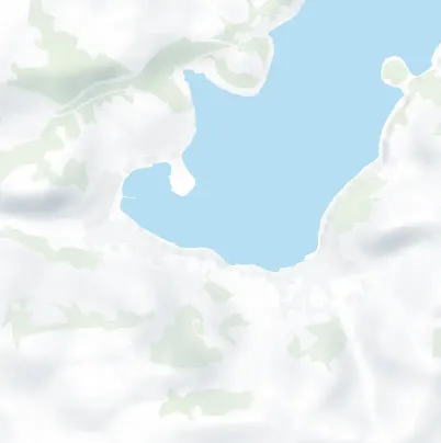
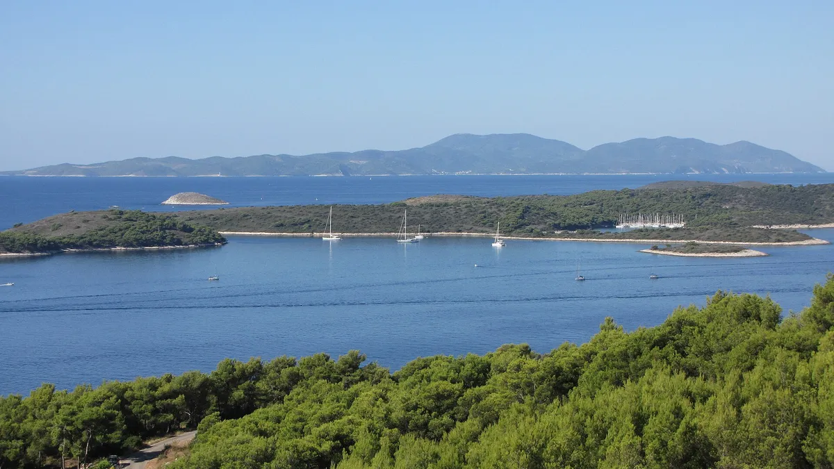
Vis town harbour lies at the head of a deep bay on the north coast of Vis. The port authority and the operator describe its shelter differently, so we show both below, with our cautious answer.
- Bura, tramontanafrom the northeast and north
- Treat the main quay as open. Two checked sources disagree, so here are both, and our cautious answer.Sources disagree
Our answer: Treat the main quay as open to winds from the north and northeast (Sources disagree, ). Treat Kut as open to the northwest and to summer squalls from the west (Sources disagree, )
Deep in St George's bay and sheltered by the islet of Host and the Prirovo peninsula, "no wind" troubles a sailor here: Split-Dalmatia County Port Authority: the port of Vis (Official source, )
Only winds from the north and northeast bother the main quay, whose east end is less sheltered. Kut is more open to the northwest, and a squall from the west needs care: Gradina Vis d.o.o.: its port services (mooring and unmooring) in the port of Vis (From the operator, )
- Maestral and squallsfrom the northwest and west
- Treat Kut as open. The operator says Kut is more open to the northwest than the main quay, and that a summer squall from the west needs care there. (Sources disagree, )
The approach. Coming in, watch for the rocks called Krava and Volići, the port authority warns. (Official source, )
Ferries and catamarans come in every day and can raise a big wash, so leave enough room between your stern and the quay. (From the operator, )
HHI nautical charts (Official source, )
What our sources say, not a forecast and not for navigation. Bura, jugo and maestral explained
Wind and sea, next 3 days
For Vis town harbour. A northerly or northeasterly reaches the main quay.
Model forecast from Open-Meteo.Not an official forecast. Not for navigation.
Official forecast: DHMZ marine forecast (Official source, )
How to read this forecast
Each part of the day shows its strongest hourly wind and gust, and its highest wave, in Croatian time. The words follow the Beaufort scale, and the model can't tell a real bura from any other northeast wind. How to read a model forecast
Weather data by Open-Meteo.com, CC BY 4.0. Grouped into parts of the day by OlaSail.
If Vis town is full or the wind turns

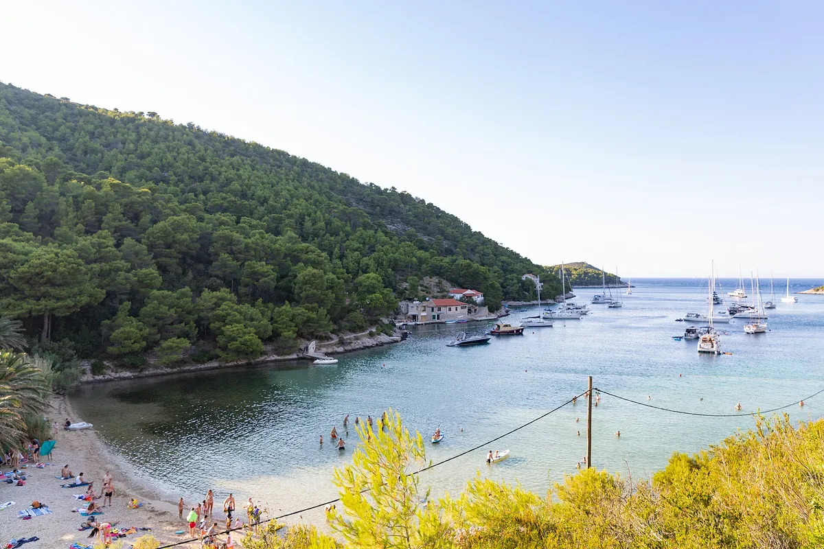
Open to the bura. The bay is well sheltered from every other wind, the operator says. (From the operator, ) Buoys in a quiet bay at the northeast tip of Vis, run by Gradina Vis d.o.o.

€60 a day on a buoy, 2026 (From the operator, ) Two buoy fields on the south coast, out of a northerly, next to Budikovac and the Green Cave.

Anchoring instead? In a public port's anchorage you pay the berth fee less 30% on a buoy, or less 50% at anchor. (Official source, ) Only a company with a concession for that anchorage, or the port authority inside a public port, may charge you for anchoring. Anywhere else, nobody may. (Official source, ) Anchoring rules and fees
Vis town harbour on our routes
- Night 2 of Seven days from Split ends on the town quay here, after the open crossing from Šolta.
- Day 3 of the same route leaves for Komiža round the south coast. If a westerly is forecast, its plan B is a second night here.
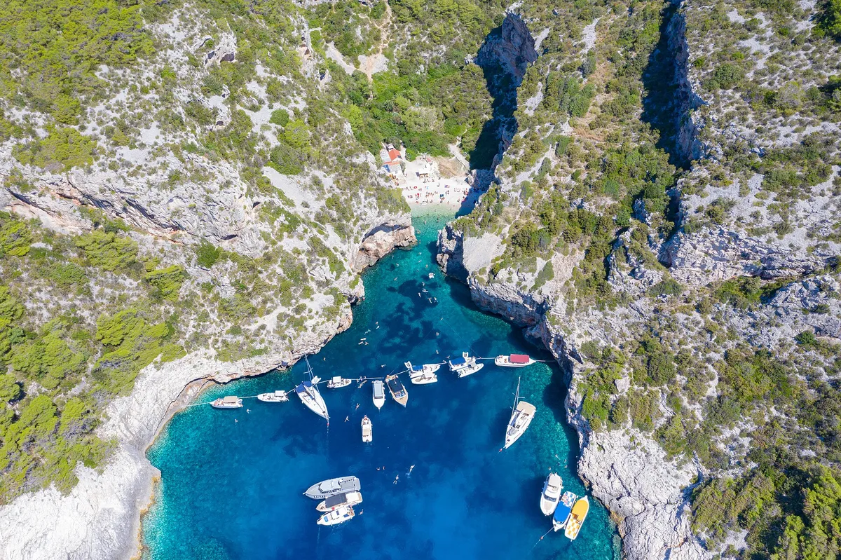
- Swim stops on day 3, on the way round the south coast: Budikovac and the Green Cave and Stiniva. All of them, day by day: Swim and lunch stops on a week from Split.
- More places to stay on the island, and how Vis fits a week: Vis by boat.
What sailors told us
From sailors after a night here. They tell us what to check next, and don't count in the checks above.
Vis town harbour
After a four-hour sail from Šolta in late May 2025 they berthed in Vis town's harbour, used its shower block, which they found good, and walked round to Kut.
Vis town harbour
After a 29-mile sail from the charter base in late August 2025 they picked up a buoy in Vis town harbour, and the konoba they had booked inland sent a van to the ferry terminal to collect them for dinner.
Help keep this page right
Sailed here this season? Tell us what you found. We check it with the source before anything changes.
Or confirm one fact: tap the small mark after it, then "Yes, I saw it".
Other ways to helpKeep planning
A Saturday to Saturday sailing week from Split to Šolta, Vis, Hvar and Brač: the distance each day, where to sleep, and a Plan B for the wind.
How far ahead to book, which places take bookings, and when the rest fill up
How to moor stern-to on a town quay or in a marina, pick up a buoy and tie ashore
Where you may anchor, and who may charge you for it
The boat, marinas, buoys, fuel, food and the deposit, added up
How the main winds behave, and which forecast to read each morning
Sources for Vis town harbour
39 facts from 17 sources, last checked .
Show all 17 sourcesShow fewer sources
- Written by
- Domagoj Franc, editor
- Reviewed by
- Ivor Benko, skipper.
- Not paid for
- Neither the port authority nor Gradina Vis pays to be listed or checked. We read their own pages and price lists.
Photos on this page