Skip to content
OlaSailSearch
A planning list for our week from Split

Swim and lunch stops on a week from Split

These are 12 places to stop for a swim or lunch on our seven-day route from Split, and 11 of them add 3 NM or less to their day. For each we give how to stop, the fee, when it gets busy and the wind that rules it out, from the operators and official sources.

12stops on the week
11add 3 NM or less
6with a page of their own
7days, Split and back
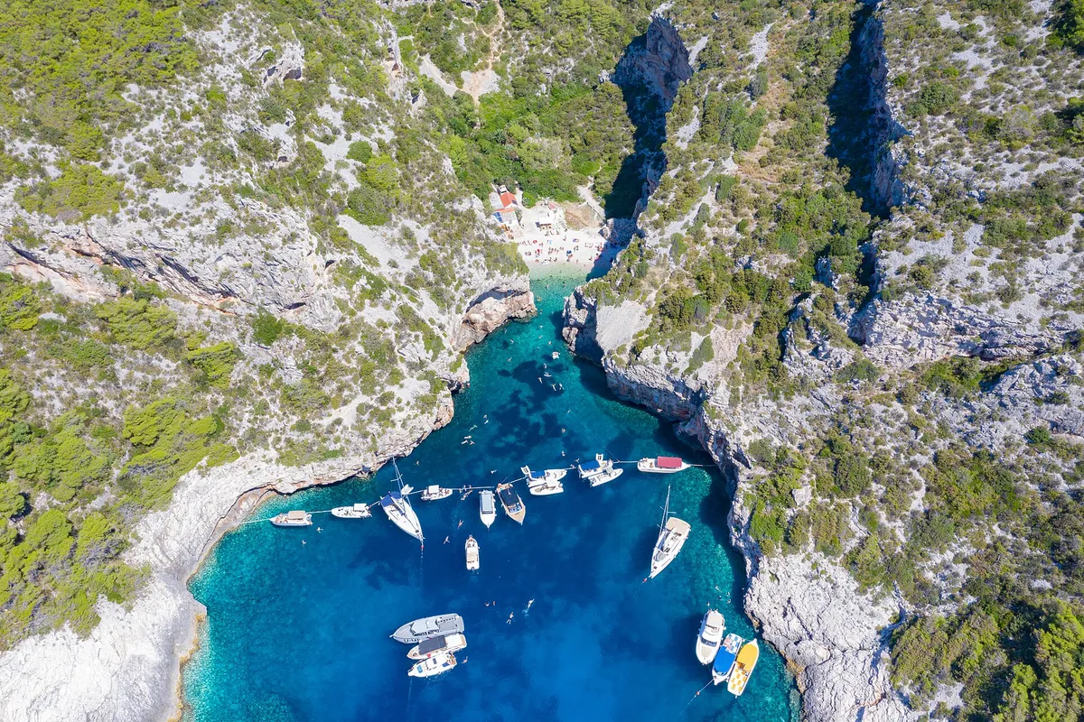
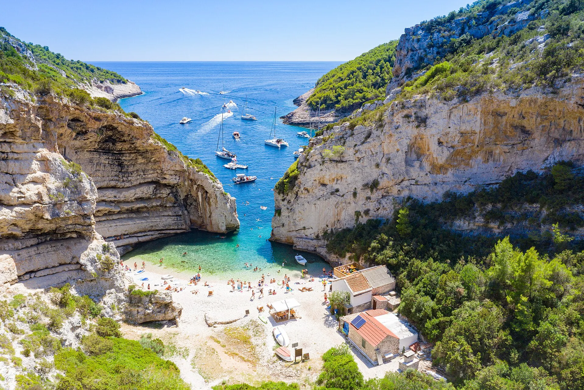
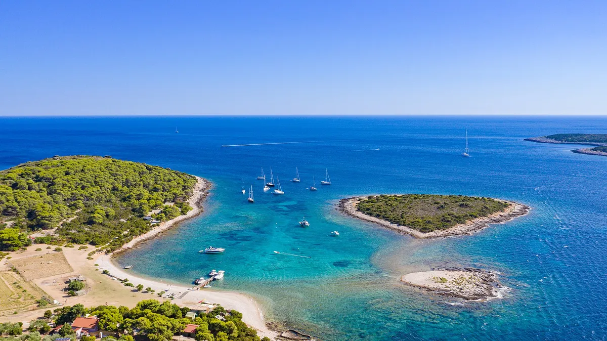
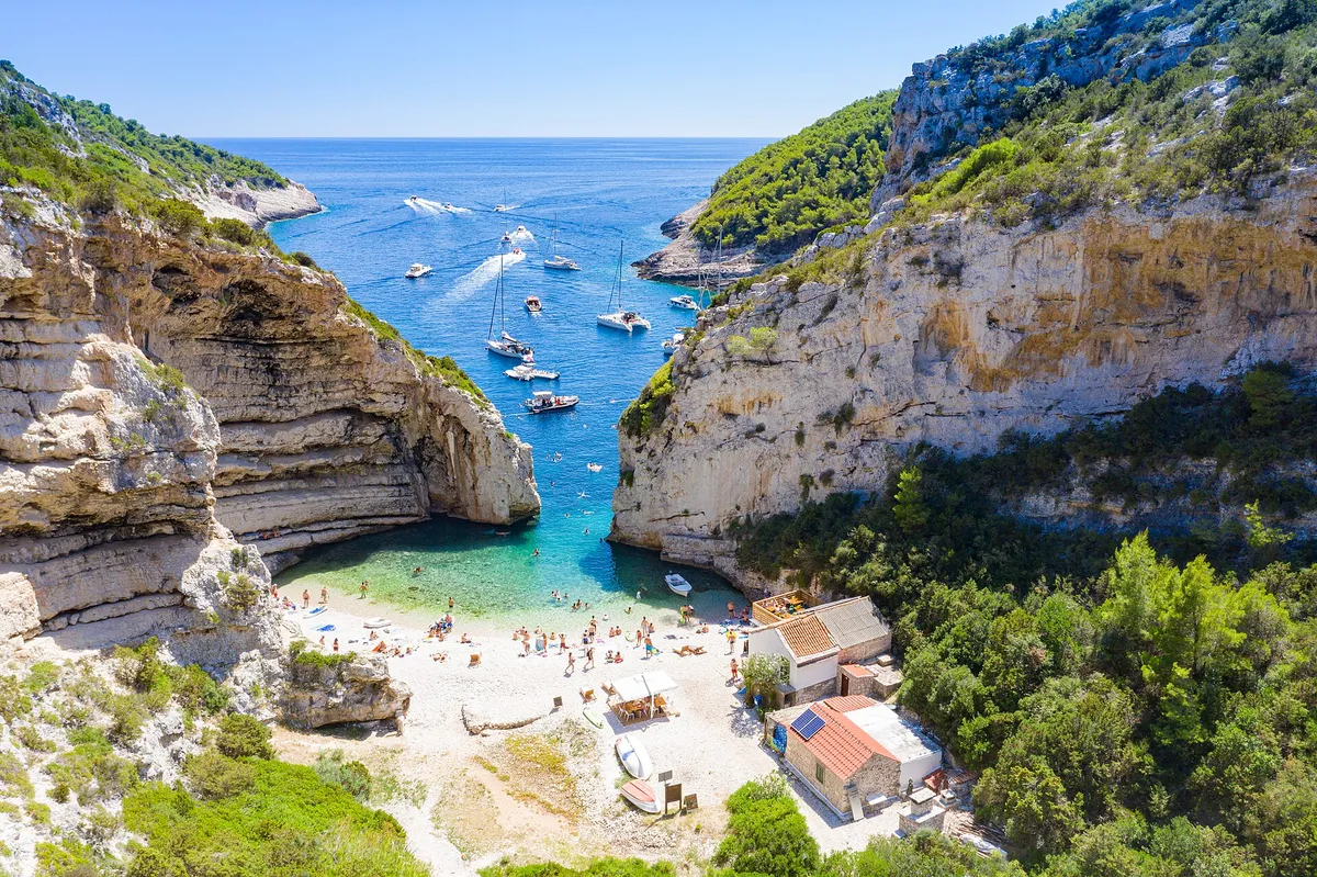
Sailing yachts anchored off the mouth of Stiniva cove, aerial with open sea and horizonPhoto: “Aerial view of the Adriatic Sea at Stiniva Bay on Vis island in Croatia” by dronepicr, CC BY 2.0, cropped and resized
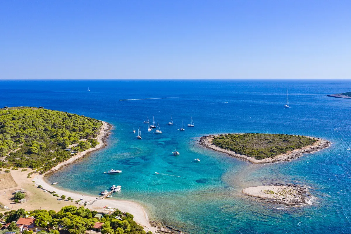
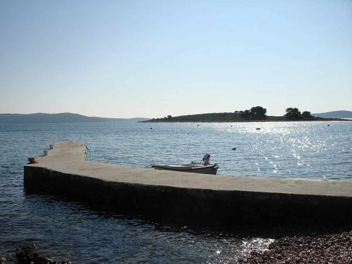
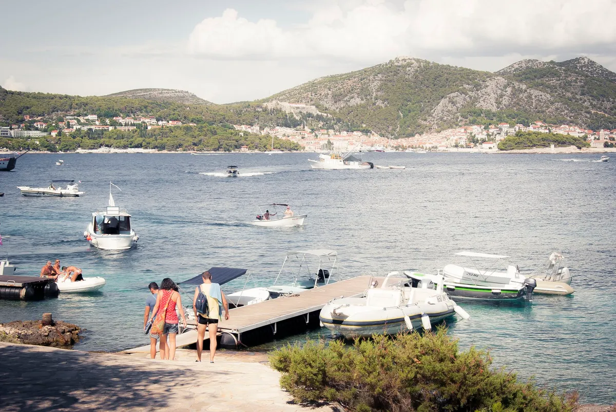
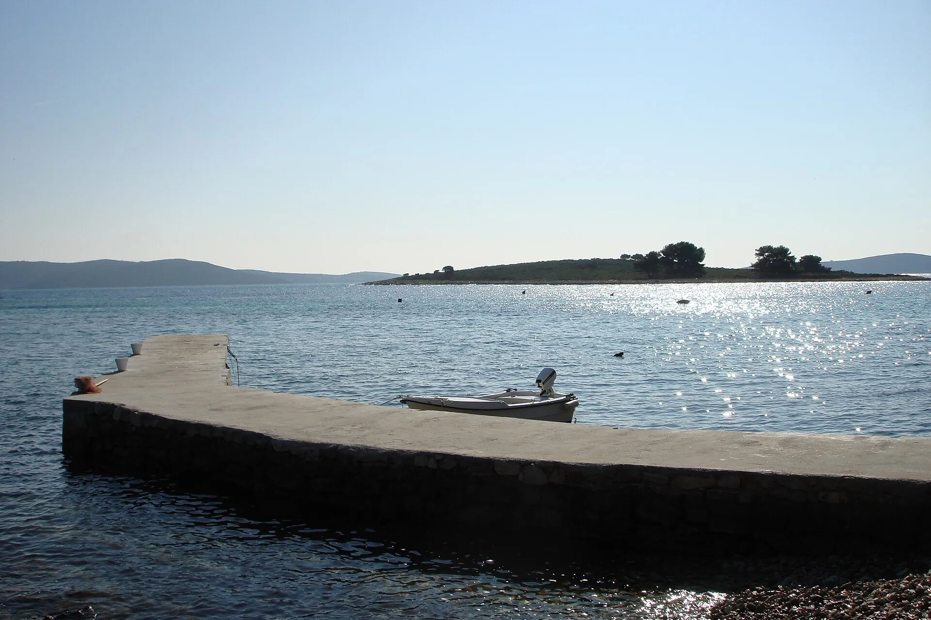
The islet of Veli Krknjaš seen across the calm water of the Blue Lagoon from a small pier at Krknjaši, with a dinghy tied alongsidePhoto: “Veli Krknjaš - panoramio” by bruno.kostovic, CC BY 3.0, cropped and resized
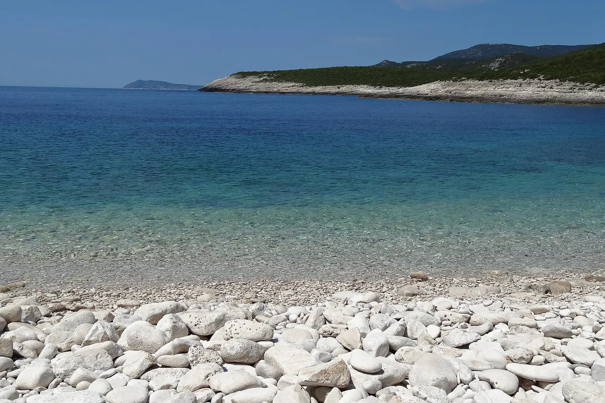
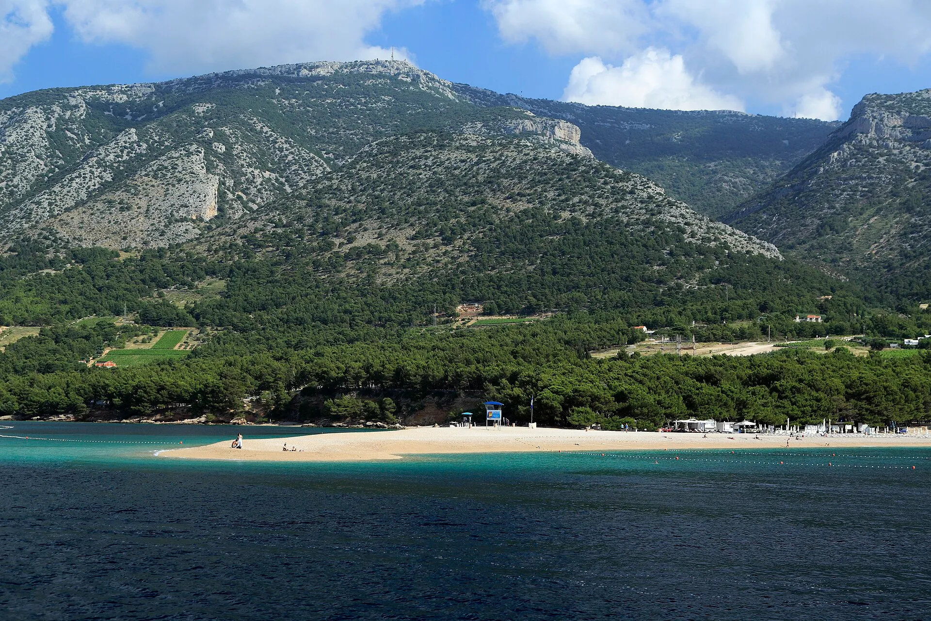
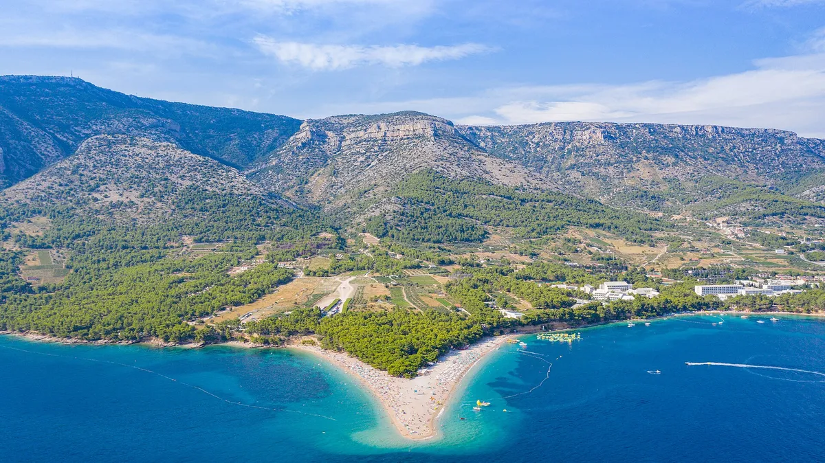
The Zlatni Rat beach spit seen from the sea, with pine woods and Vidova Gora rising behind.Photo: “J32 692 Zlatni Rat, Vidova Gora” by Falk2, CC BY-SA 4.0, resized

Written by Domagoj Franc, editor. Reviewed by Ivor Benko, skipper (Croatian skipper's licence, category C). Published .

All 77 facts on this page name their source, the latest checked on : 18 from the operator, 42 from official sources, 14 measured by us and 1 from a third-party source, such as a pilot book or a magazine, so treat that one as a guide. The sources disagree on 2: shelter and which winds reach it.

See every source

The stops, day by day

In the order of Seven days from Split. Each day takes none, one or two of them. The extra distance is what a stop adds to that day's line, measured with our route tool.

Not for navigation

The week at a glance

Day 1, Saturday: Split to Maslinica, Šolta
The Blue Lagoon at Drvenik Veli, if you have the boat early. Day 1 on the route
Day 2, Sunday: Maslinica to Vis town
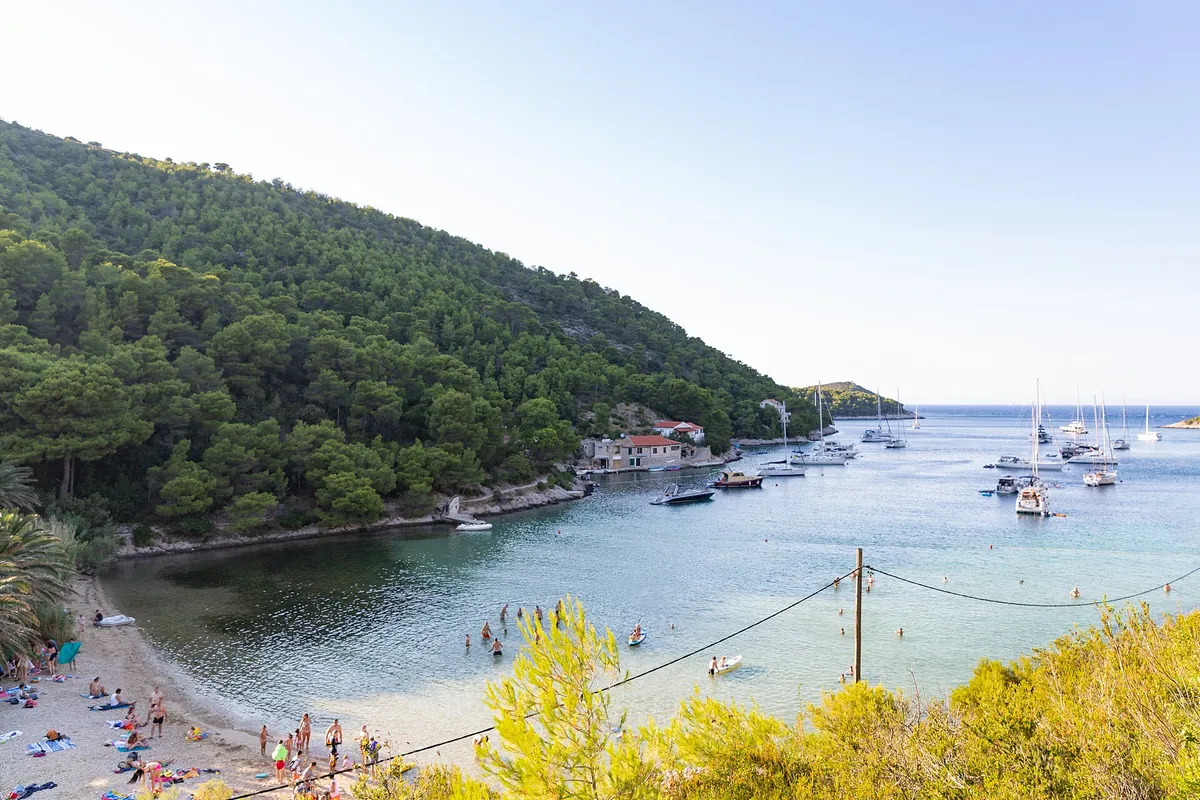
Stončica bay, round the corner from Vis town, is a swim at the end of the first open crossing. Day 2 on the route
Day 3, Monday: Vis town to Komiža
Budikovac, the Green Cave, Srebrna or Stiniva, each a short detour off the line round the south coast. Pick one or two, and go in the morning, before the day tours. Day 3 on the route
Day 4, Tuesday: Komiža to Pakleni Islands
The Blue Cave is on the way. Stipanska is an afternoon swim before the night. Day 4 on the route
Day 5, Wednesday: Pakleni Islands to Stari Grad
No stop on our list fits this leg. Stipanska adds +7 NM as a morning swim (Measured by us, ), so swim at the Pakleni Islands before you leave. Day 5 on the route
Day 6, Thursday: Stari Grad to Milna, Brač
Lučice and Blaca fit the day. Zlatni Rat is a long detour, or a reason to spend a night in Bol. Day 6 on the route
Day 7, Friday: Milna to Split
Bobovišća, just north of Milna, before fuel and check-in. Day 7 on the route

The stops at a glance

How you stop at each, and what it adds to its day. Every line links to the stop's own page or its island's page.

StopDayExtraHow you stop
The Blue Lagoon, Drvenik Veli1+2 NM  (Measured by us, )Anchor, clear of the cable
Stončica bay, Vis2+3 NM  (Measured by us, )Buoy
Budikovac lagoon3+0.5 NM  (Measured by us, )Buoy
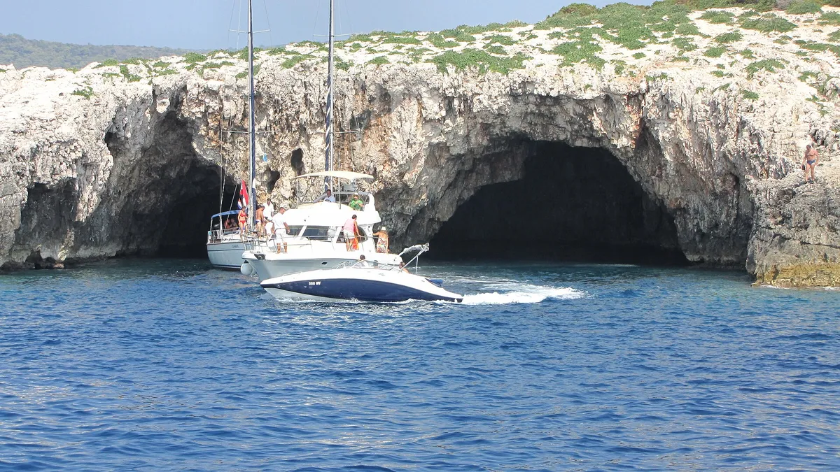
The Green Cave, Ravnik3+0.5 NM  (Measured by us, )Buoy nearby, then row the dinghy in
Srebrna bay, Vis3+1 NM  (Measured by us, )Anchor, with care on rock slabs
Stiniva cove, Vis31 NM  (Measured by us, )Outside the cove, then swim in
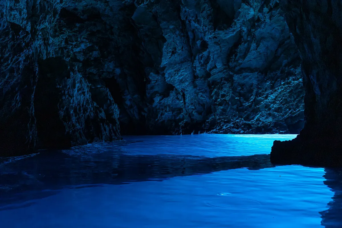
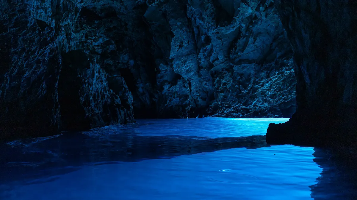
The Blue Cave, Biševo4On the line  (Measured by us, )Mezuporat, then a cave boat
Stipanska bay, Marinkovac4+2.5 NM  (Measured by us, )Anchor in the bay
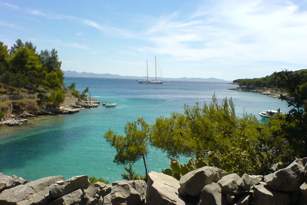
Lučice bay, Brač6+0.5 NM  (Measured by us, )Buoy or anchor
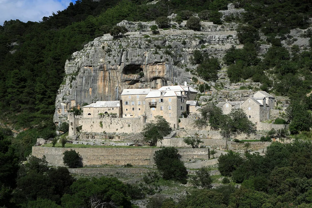
Blaca bay, Brač6+1.5 NM  (Measured by us, )Anchor on sand
Zlatni Rat, Bol6+9.5 NM  (Measured by us, )Anchor off the side away from the wind
Bobovišća, Brač7+2 NM  (Measured by us, )Buoy, anchor or the quay

Extra distances come from our route tool. (Measured by us, )

The rules at every stop

What the law says anywhere on the coast. A buoy field's own rules come on top, as at Budikovac.

Near a beach
No anchoring within 150 m of a natural beach, under the 2025 ordinance. (Official source, ) Anchoring near beaches
Near swimmers
Under way, keep clear of an organised beach's rope line: at least 50 m in a boat under 15 m, 100 m in a boat of 15 to 30 m, and 300 m at 30 m and over (Article 49). (Official source, ) Rope lines and lines ashore
Speed near the shore
Within 300 m of the shore, in narrow channels and near harbours and anchorages, go no faster than 8 knots (Article 50). (Official source, )
Lines ashore
Tied ashore, no part of the boat or its gear may be 70 m or more from the shore. The anchor chain counts from the tip of the bow or stern to the point where it enters the water (Article 53). (Official source, )
Who may charge
Only a company with a concession for that anchorage, or the port authority inside a public port, may charge you for anchoring. Anywhere else, nobody may. (Official source, ) Who may charge, and how much

Plan the week

Help keep this page right

Found something different on the water this season? Tell us what you found. We check it with the source before anything changes.

Other ways to help

Photos on this page

  • Sailing yachts anchored off the mouth of Stiniva cove, aerial with open sea and horizonStiniva Bay, south coast of Vis. Photo: “Aerial view of the Adriatic Sea at Stiniva Bay on Vis island in Croatia” by dronepicr, CC BY 2.0, cropped and resized
  • The islet of Veli Krknjaš seen across the calm water of the Blue Lagoon from a small pier at Krknjaši, with a dinghy tied alongsideThe Blue Lagoon (Krknjaši), between Drvenik Veli and Veli Krknjaš. Photo: “Veli Krknjaš - panoramio” by bruno.kostovic, CC BY 3.0, cropped and resized
  • The Zlatni Rat beach spit seen from the sea, with pine woods and Vidova Gora rising behind.Bol, Brač, Zlatni Rat from the sea. Photo: “J32 692 Zlatni Rat, Vidova Gora” by Falk2, CC BY-SA 4.0, resized
  • Yachts on mooring buoys in Stončica bay, with the beach and pine slope, seen from the hillsideStončica, east coast of Vis. Photo: “Stoncica beach bay on Vis island, Croatia” by dronepicr, CC BY 2.0, resized
  • The lagoon between Veli Budikovac and Mali Budikovac from the air, yachts on the buoys in turquoise water, the pebble beach and the jetty on Veli Budikovac and open sea beyondThe Budikovac lagoon (Plava laguna), off south-east Vis. Photo: “Blue lagoon at Budikovac island in Croatia” by dronepicr, CC BY 2.0, cropped and resized
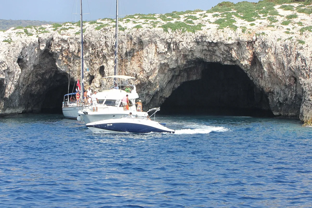
  • The two sea entrances of the Green Cave on Ravnik seen from the water, a sailing yacht and a motor cruiser at the mouth and a speedboat passingThe Green Cave (Zelena špilja), islet of Ravnik, off south-east Vis. Photo: “Vis Ravnik green cave - panoramio” by Dejan Sekuloski, CC BY 3.0, cropped and resized
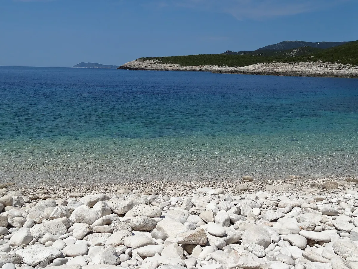
  • The white pebble beach of Srebrna bay with clear shallow water, the low rock slabs of the headland and open sea beyondSrebrna bay, south-east coast of Vis. Photo: “SREBRNA - panoramio” by sanja mm, CC BY 3.0, cropped and resized
  • Yachts and motorboats anchored inside Stiniva cove, straight-down aerialStiniva Bay, south coast of Vis. Photo: “Luftbild von der Bucht Stiniva auf der Insel Vis in Kroatien” by dronepicr, CC BY 2.0, cropped and resized
Show all 13 photo creditsShow fewer photo credits
  • Light glowing blue on the water inside the Blue Cave (Modra špilja)Blue Cave, Biševo, near Komiža. Photo: “Biševo - Blue Cave - 2021-07-30 11-56-09 2642” by Pierre-Selim Huard, CC BY 4.0, cropped and resized
  • The taxi-boat pontoon in Stipanska bay on Marinkovac, looking across the channel to Hvar town and the ForticaStipanska bay, Marinkovac, Pakleni Islands. Photo: “Hvar 09” by José Sáez, CC BY-SA 3.0, cropped and resized
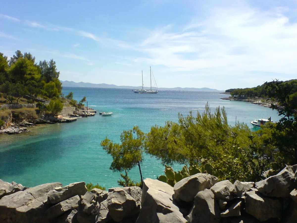
  • Lučice bay seen from the rocks above it, turquoise water between pine-covered arms, a two-masted yacht at anchor at the mouth and small boats by the shoreLučice bay, south-west Brač, near Milna. Photo: “Bucht Lucice” by Bunker, CC BY-SA 3.0, cropped and resized
  • The Blaca hermitage, stone monastery buildings built against a cliff with a cave, in pine woods above the south coast of Brač.Brač, the Blaca hermitage. Photo: “J35 836 Kloster Blaca” by Falk2, CC BY-SA 3.0 DE, resized
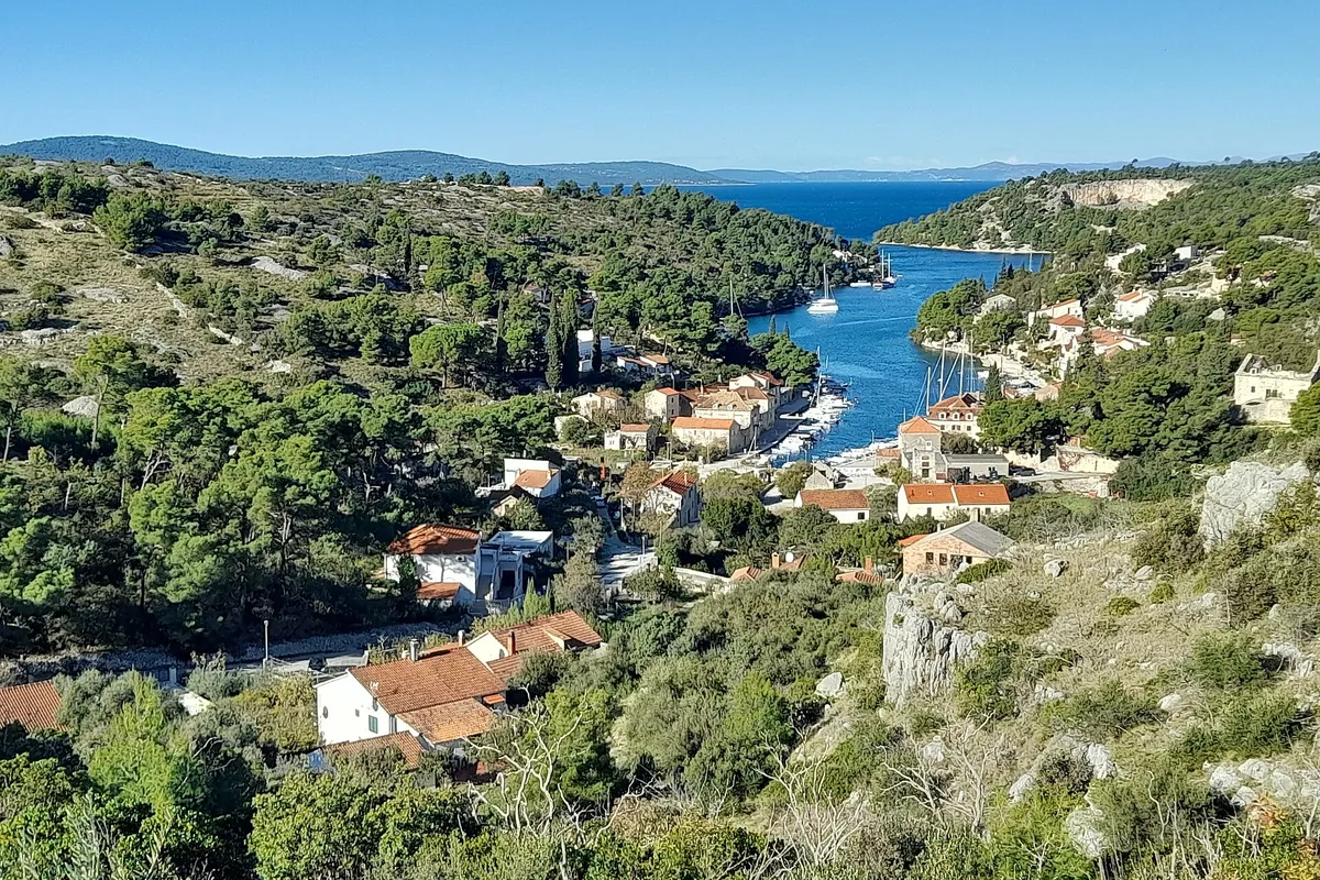
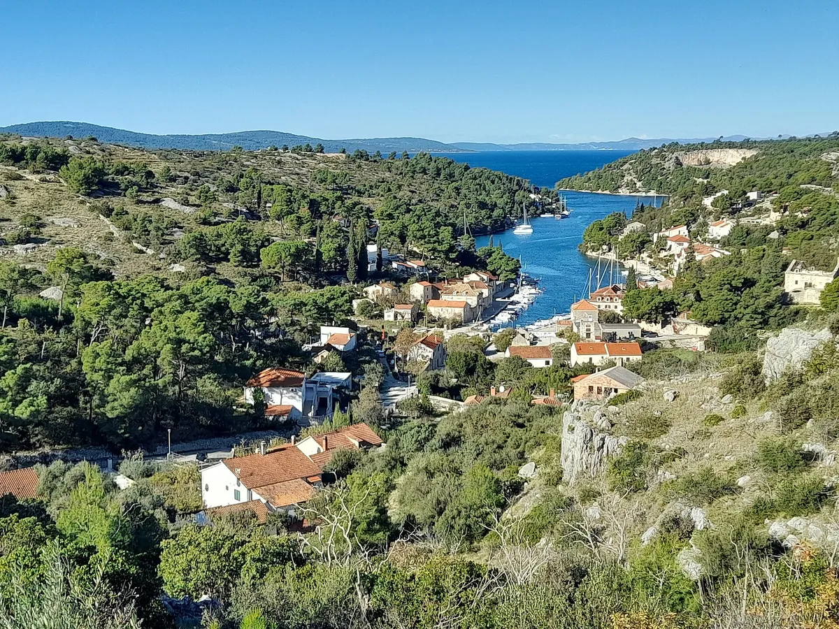
  • The Bobovišća inlet on Brač from the hill above, yachts moored along the narrow inlet below the village and the open sea beyond its mouthBobovišća na Moru, west coast of Brač. Photo: “Bobovišća na moru, Brač, Croatia 20231118 03” by Argo Navis, CC BY-SA 4.0, cropped and resized