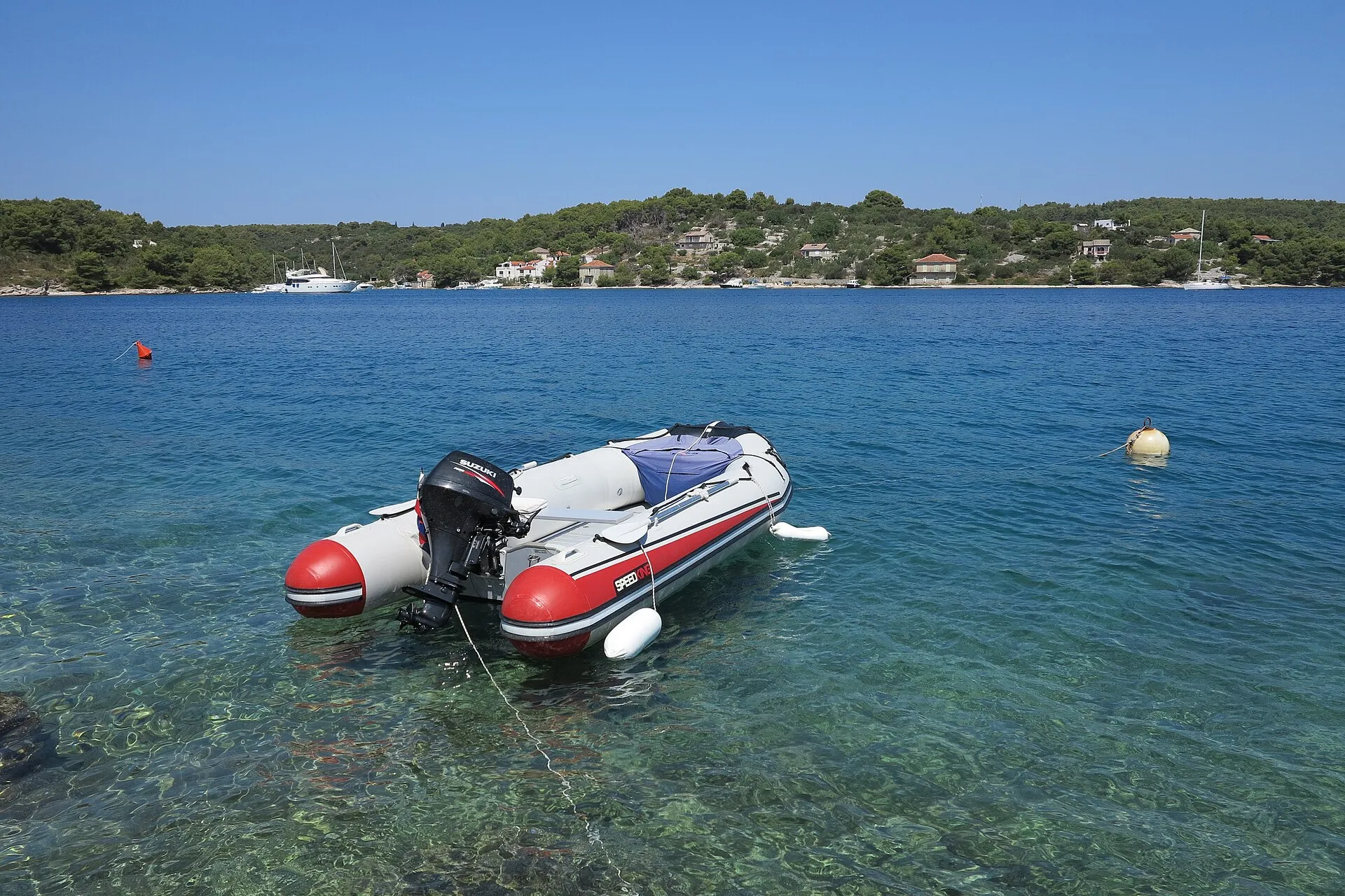
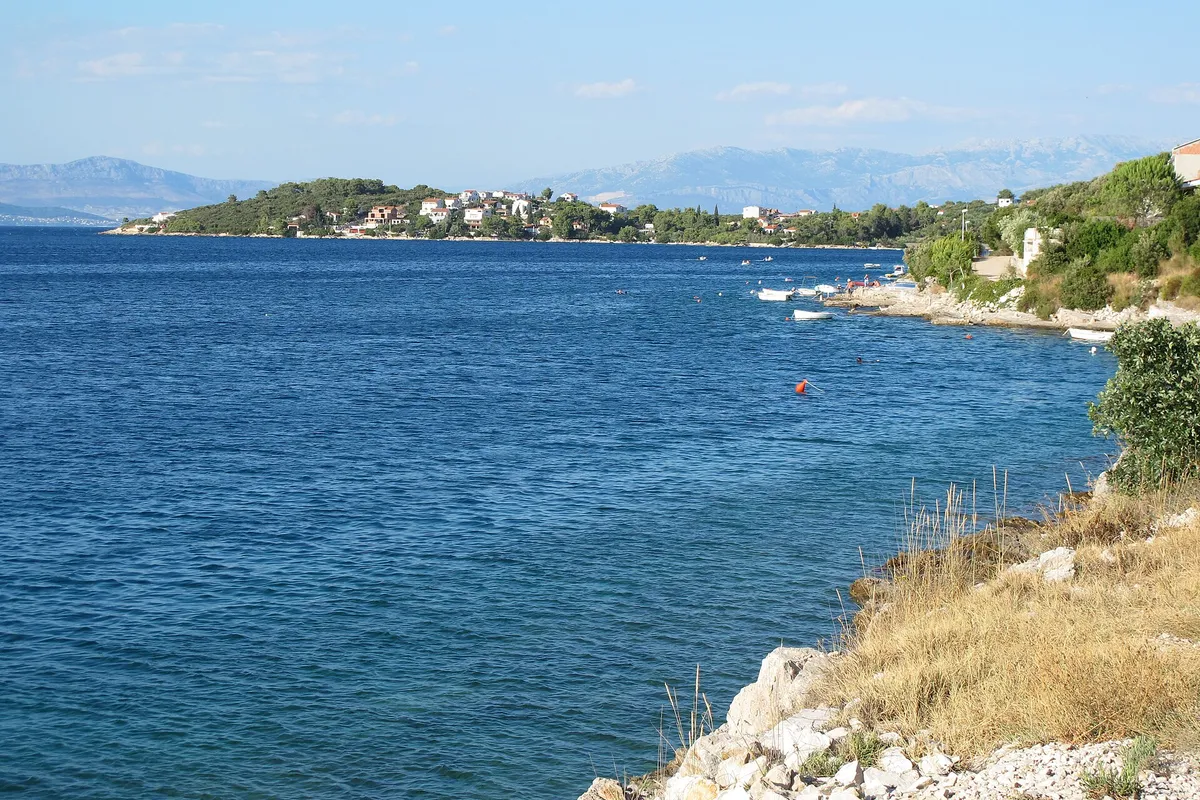
Buoys, anchoring and a small port, Šolta
Nečujam bay buoys
Nečujam is the largest bay on Šolta, 9 NM from Split, with coves where yachts take a buoy or anchor in 3 to 40 m. It is open to the bura and other northerly winds, the county's anchorage study says, so leave before a bura.


All 41 facts on this page name their source, the latest checked on : 2 from the operator, 31 from official sources, 7 measured by us and 1 from a third-party source, such as a pilot book or a magazine, so treat that one as a guide.
Written by Domagoj Franc, editor. Reviewed by Ivor Benko, skipper.
Tonight in Nečujam bay
Can we stay here tonight? Yes, unless a bura or a strong northerly is forecast. (Official source, ) The forecast for the bay
Shelter by wind in Nečujam bay
The bay opens to the north, towards Split, and branches into coves like the fingers of a hand. What the county's anchorage study says, wind by wind, is below.
- Bura and tramontanafrom the northeast and north
- Open. The bay is open to northerly winds and their waves. A storm bura raises a rough to very rough sea in it. (Official source, ) In a bura it is better to anchor close to the east shore, north of the pier in Supetar cove. (Official source, ) Our advice: if a strong bura is forecast, leave for the south side of the island. Summer storms and the bura
- Jugofrom the southeast
- Some slop. A strong jugo sends a slop into the bay. (Official source, )
- Maestralfrom the northwest
- Nečujam is sheltered from every wind except northerlies, and so from the maestral. Our cautious answer: expect some swell near the mouth of the bay in a strong maestral. Our skipper reviewer hasn't checked this yet. (Third-party source, )
- The currentin the bay
- Tidal currents run at up to 0.3 knots, and a storm bura can raise them to 0.8 knots. (Official source, )
Coming in. A light stands on Cape Bad, about 0.7 NM west of the bay. (Official source, ) A sewage outfall runs 0.45 NM out to the northeast from the cove east of Rat point. (Official source, ) Keep your anchor clear of it.
Within 300 m of the shore, in narrow channels and near harbours and anchorages, go no faster than 8 knots (Article 50). (Official source, ) HHI nautical charts (Official source, )
What our sources say, not a forecast and not for navigation. Bura, jugo and maestral explained
Wind and sea, next 3 days
For Nečujam bay. Don't stay the night if a bura or a strong northerly is forecast. Split, Trogir, Šolta, Brač and Vis all lie in the Middle Adriatic area of the DHMZ marine forecast. (Official source, )
Model forecast from Open-Meteo.Not an official forecast. Not for navigation.
Official forecast: DHMZ marine forecast (Official source, )
How to read this forecast
Each part of the day shows its strongest hourly wind and gust, and its highest wave, in Croatian time. The words follow the Beaufort scale, and the model can't tell a real bura from any other northeast wind. How to read a model forecast
Weather data by Open-Meteo.com, CC BY 4.0. Grouped into parts of the day by OlaSail.
If the bura comes, or Nečujam is full
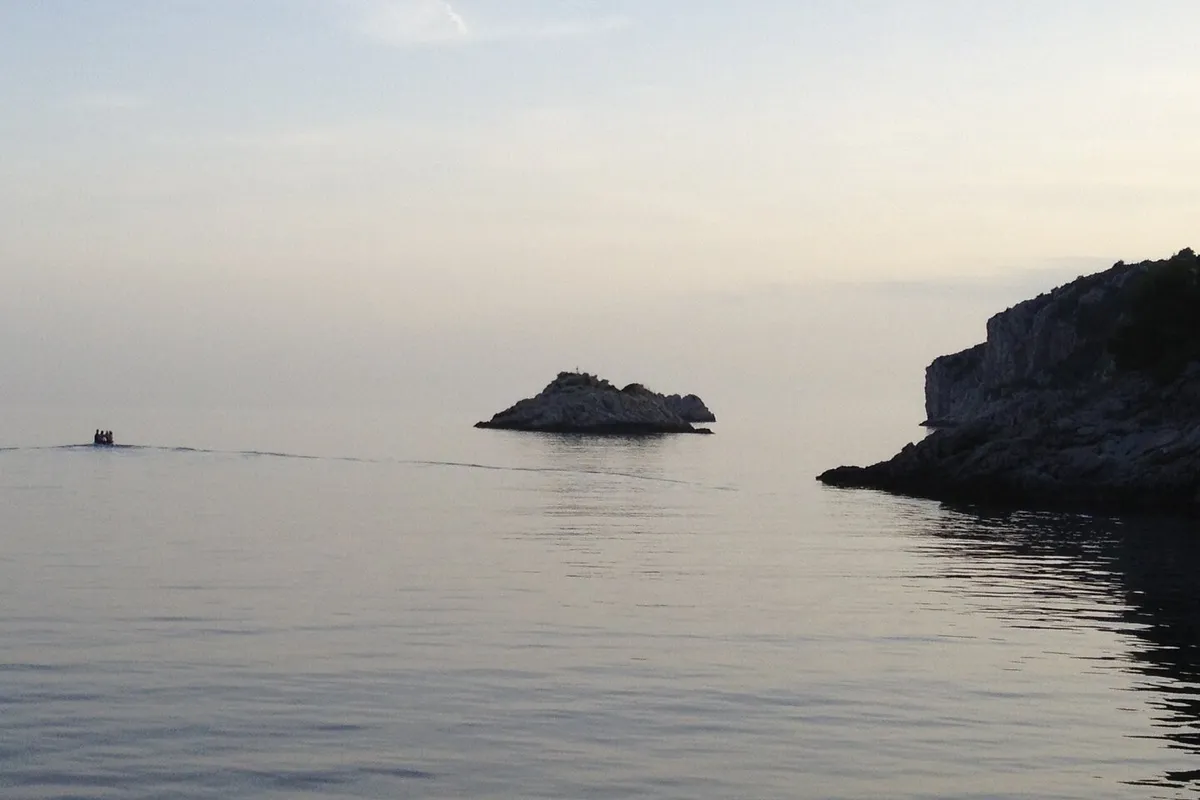

For a bura. Tatinja is open to winds from the southeast to the southwest, which raise a rough sea. Its east arm is one of the best anchorages on the south side of Šolta. (Official source, ) A buoy field of 16 berths in three parts, under a county concession held by TRAMAK 22 j.d.o.o. (Official source, )
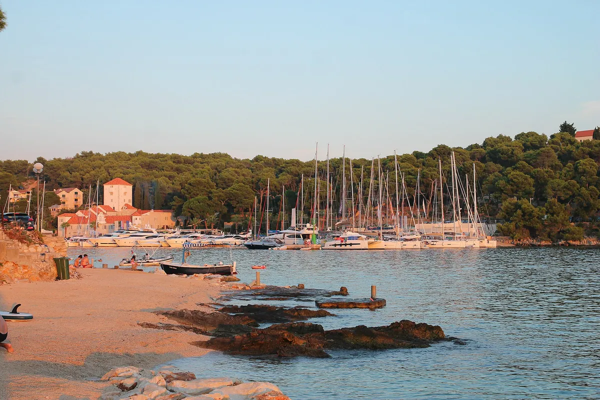

€135 a day in July 2026, 12 m boat, plus €10 water and power (From the operator, ) A small marina at the west end of the island. Water and power at the berth, €10 a day for a 12 m boat. The toilets and showers are included in the berth price. (From the operator, )
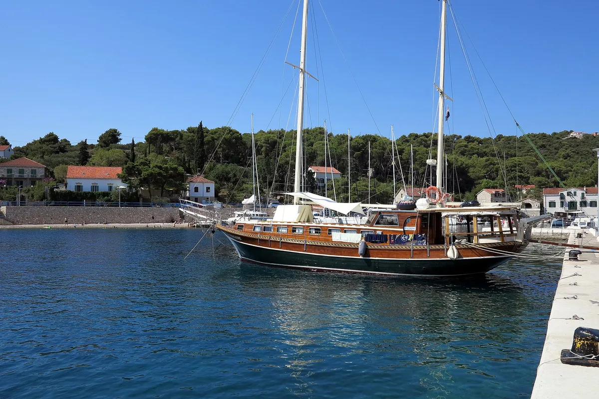

Rogač is a class II county port: €4 a metre a day for a boat of 10.01 to 15 m, so €48 for a 12 m boat. (Official source, ) Šolta's ferry port, and it faces north too. The port authority lists 262 m of quay in Rogač, a fuel pump for boats, a shop and repairs in the harbour. Its staff answer on +385 91 110 0271. (Official source, )
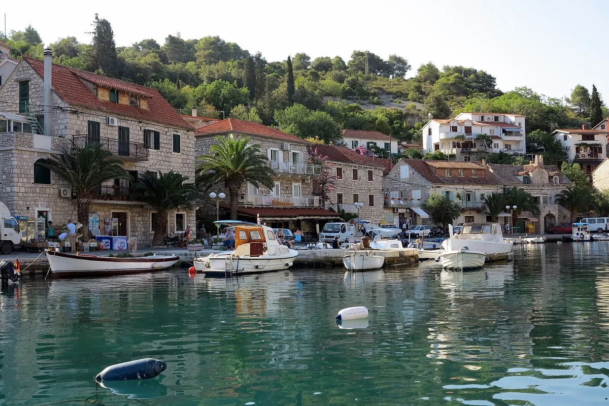

Stomorska is a class I.C county port: €4.50 a metre a day for a boat of 10.01 to 15 m, so €54 for a 12 m boat. (Official source, ) The port authority lists 585 m of quay in Stomorska, shops, a post office and a cash machine, and a catamaran to Split. Its staff answer on +385 91 882 7076. (Official source, )
What sailors told us
From sailors after a night here. They tell us what to check next, and don't count in the checks above.
Nečujam, Šolta
A boat owner who knows the Trogir area had seen three or four buoys and a jetty with lazy lines at the konoba in Nečujam.
Help keep this page right
Sailed here this season? Tell us what you found. We check it with the source before anything changes.
Or confirm one fact: tap the small mark after it, then "Yes, I saw it".
Other ways to helpKeep planning
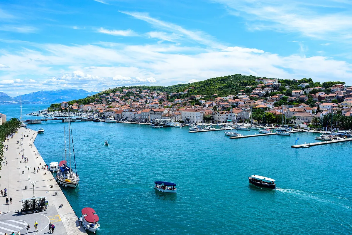
A first sailing week from Trogir with short hops and no open-sea crossing. Šolta’s exposed south coast needs settled summer weather; each day has a Plan B.
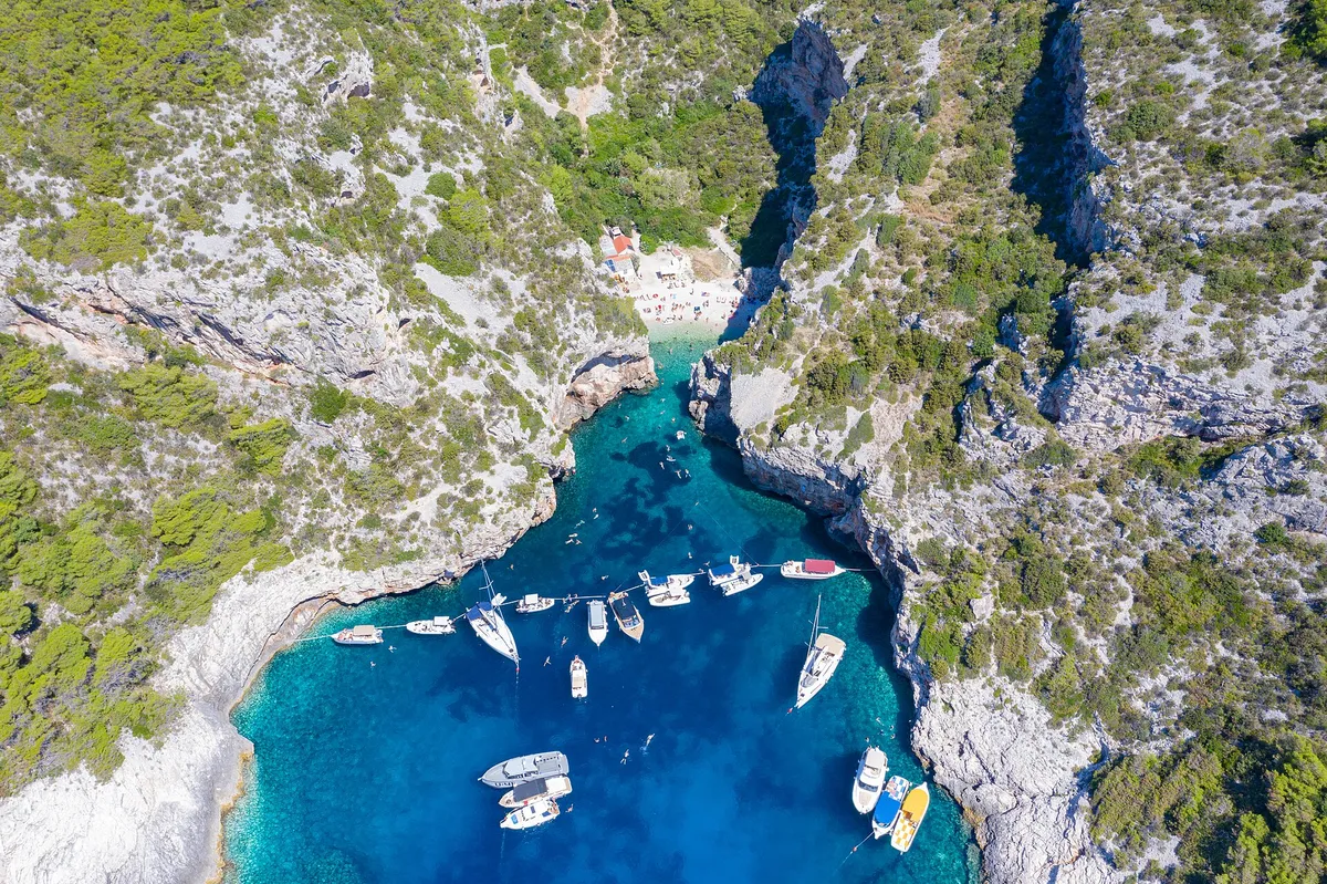
A Saturday to Saturday sailing week from Split to Šolta, Vis, Hvar and Brač: the distance each day, where to sleep, and a Plan B for the wind.
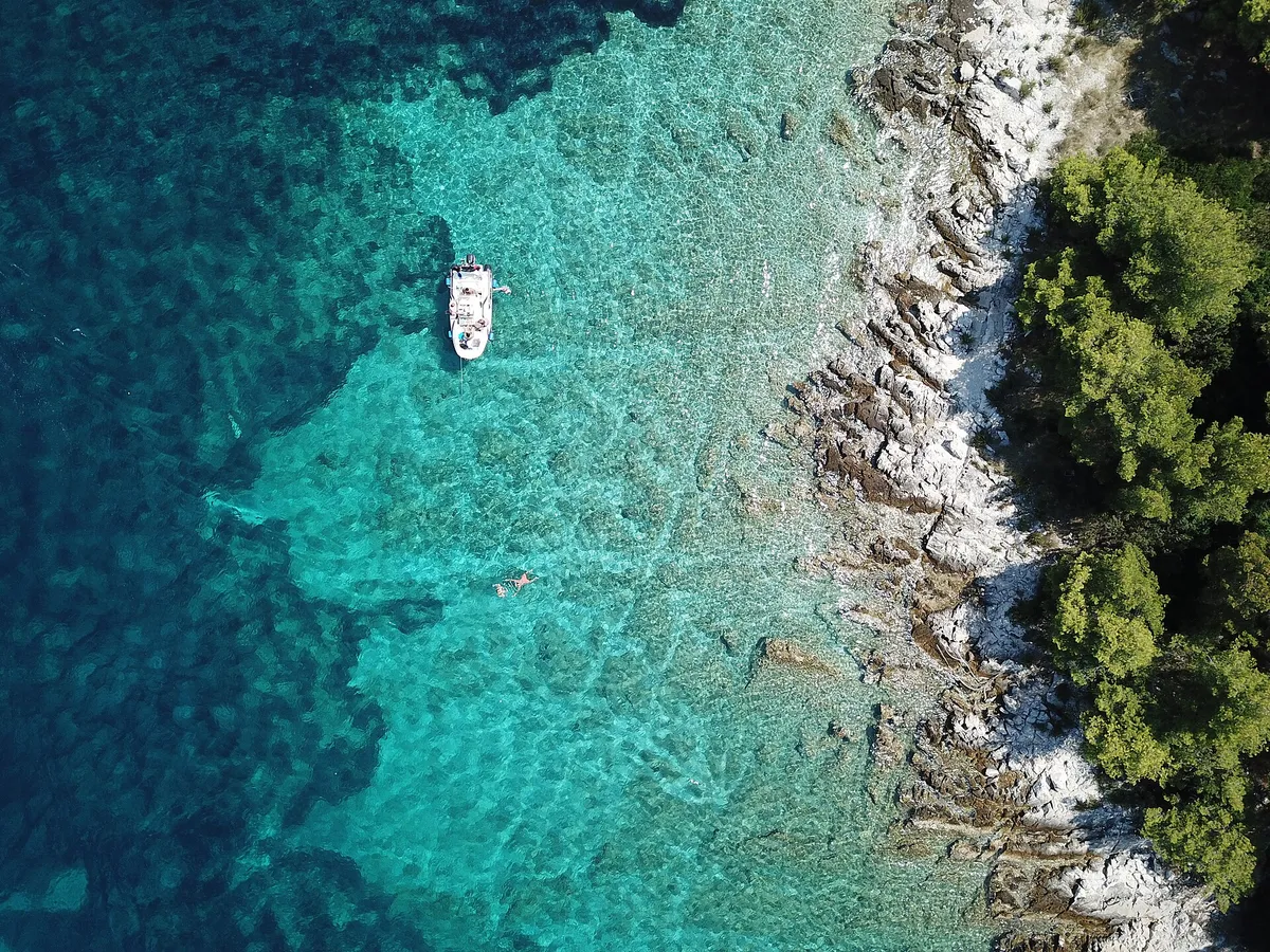
Where you may anchor, and who may charge you for it
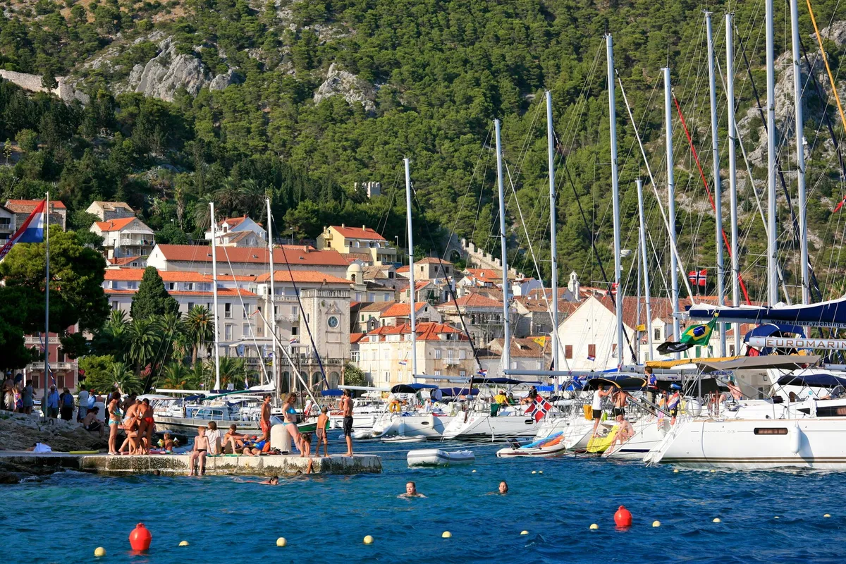
How far ahead to book, which places take bookings, and when the rest fill up
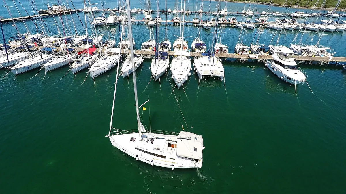
How to moor stern-to on a town quay or in a marina, pick up a buoy and tie ashore
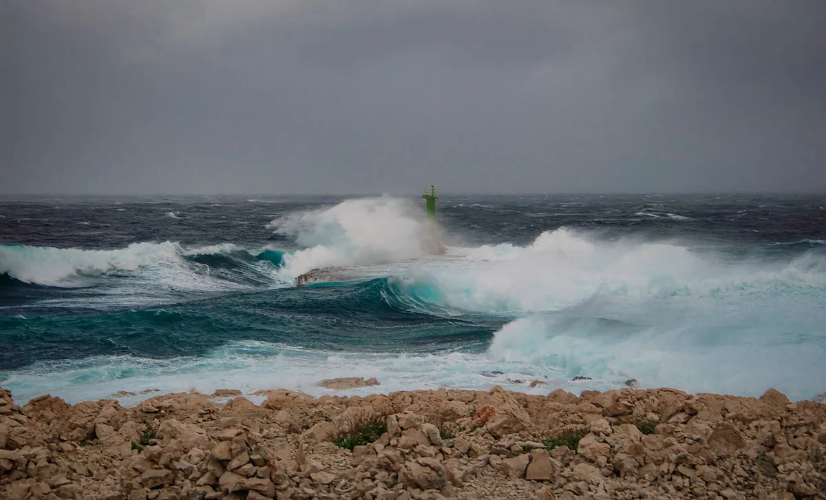
How the main winds behave, and which forecast to read each morning
Sources for Nečujam bay
41 facts from 19 sources, last checked .
Show all 19 sourcesShow fewer sources
- Written by
- Domagoj Franc, editor
- Reviewed by
- Ivor Benko, skipper: the shelter, the holding and the hazards.
- Not paid for
- Nobody pays to be listed or checked. We read the port authority's rules and the county's anchorage studies.
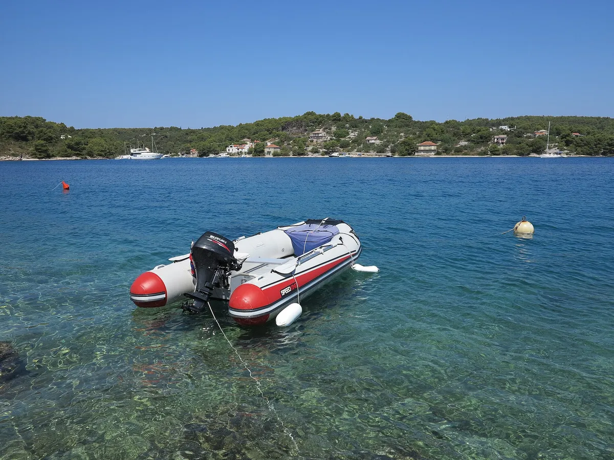
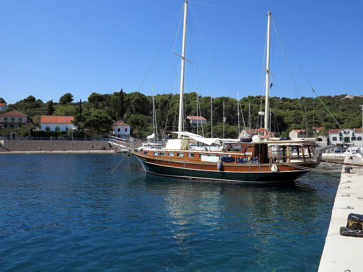
Photos on this page
