Skip to content
OlaSailSearch
Island in South Dalmatia

Lastovo island by boat

Lastovo is the island south of Korčula, and with its islets it is a nature park. Every boat in the park pays the park's ticket, and you may moor or anchor only at the marked moorings and anchorages. Our routes spend the night in Zaklopatica, on the north coast.

19 NMfrom Vela Luka to Zaklopatica, about 3 h (Measured by us, )
22 NMfrom Korčula town to Zaklopatica, about 3½ h (Measured by us, )
€36a day in the park, 11 to 17.99 m boat, June to Sep, online (Official source, )
5places to stay the night
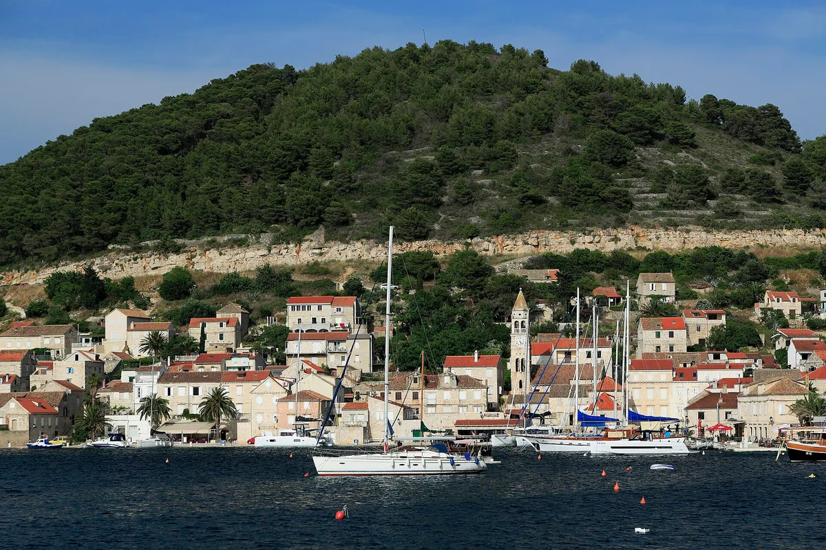
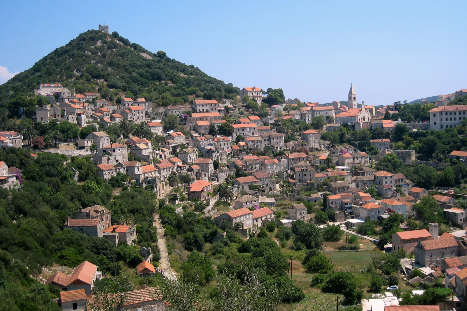
Lastovo town on its hillside, stone houses with red roofs climbing towards the church tower, below the wooded hill with the fort on topPhoto: “Lastovo-Stadt” by Tbachner, CC BY 3.0, cropped and resized
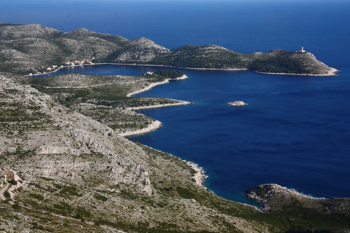
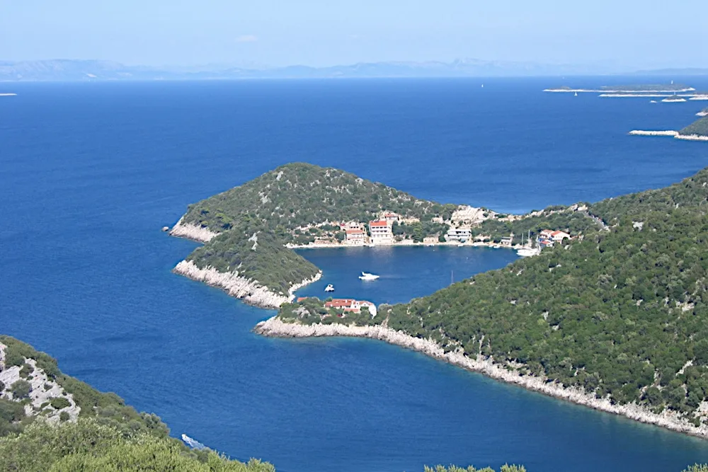
Skrivena Luka on the south coast of Lastovo from the hills above, a long blue bay between bare stony slopes, with the Struga lighthouse on the headlandPhoto: “Skrivena luka, Lastovo” by Dijana Župan, CC BY-SA 4.0, resized
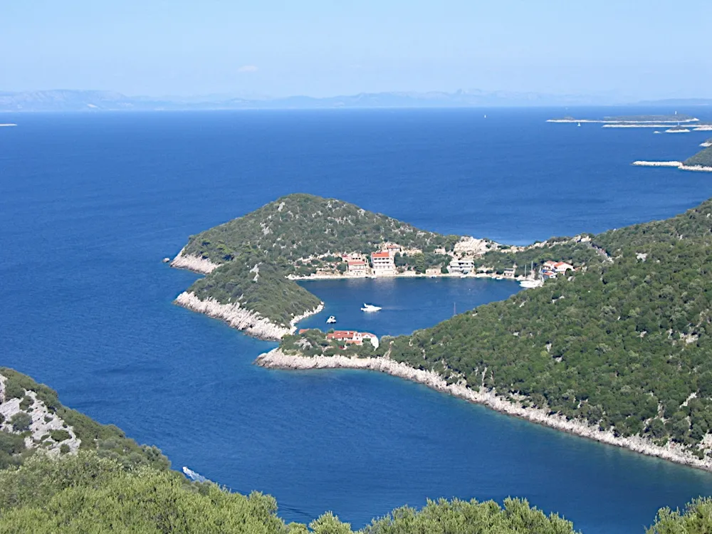
Zaklopatica bay on Lastovo from the hillside above, with the village and its quay on a wooded point and a few boats in the sheltered bayPhoto: “Zaklopatica bay - panoramio” by Aleksandar Topuzović, CC BY 3.0, cropped and resized

Written by Domagoj Franc, editor. Reviewed by Ivor Benko, skipper.

Published .

All 47 facts on this page name their source, the latest checked on : 6 from the operator, 21 from official sources, 7 measured by us and 13 from third-party sources, such as pilot books and magazines, so treat those 13 as a guide.

See every source

Lastovo has no area steward yet. Sail here every season? Become the area steward.

Where to spend the night on Lastovo

5 places to stay the night, in the bays of the north, west and south coasts. Prices are per night for a 12 m boat in 2026, and the park ticket comes on top. Shelter lines name the local winds: the jugo blows from the southeast and the bura from the northeast. What each wind does. Our cautious answer: weather descriptions, not a forecast: read DHMZ's forecast for sailors before you go. Our skipper reviewer hasn't checked this yet.

Open to wind and swellSome swellShelteredNorth is up
Not for navigation

Every place to stay on Lastovo, at a glance

The price of a night for a 12 m boat in 2026, as each place's card gives it; the park ticket comes on top.

PlaceKindA night, 12 m boat
Zaklopatica bay on Lastovo from the hillside above, with the village and its quay on a wooded point and a few boats in the sheltered bayZaklopaticaBuoys€40 (Official source, )
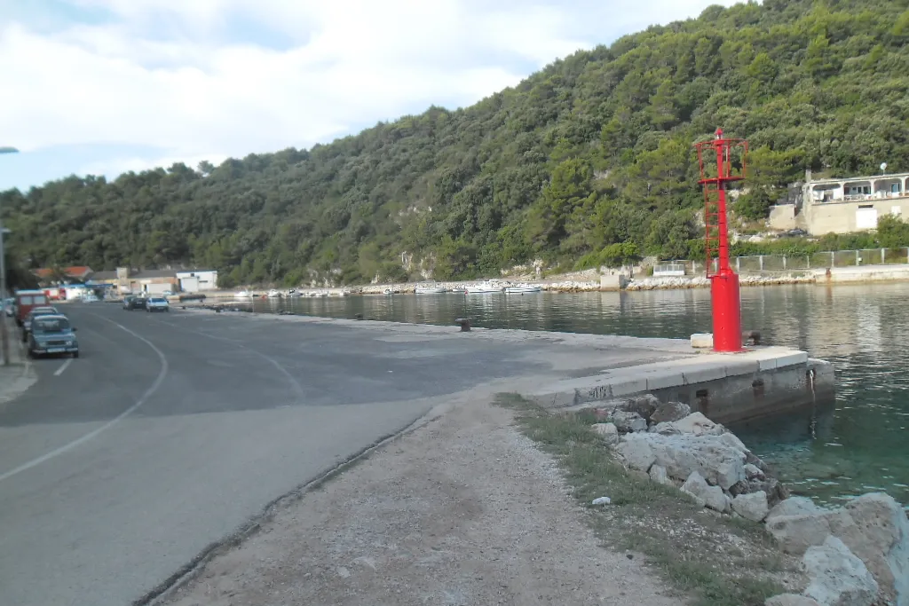
The ferry port of Ubli on Lastovo: the concrete quay with its red harbour light, calm water and wooded hills behindUbliQuay€60 (Official source, )
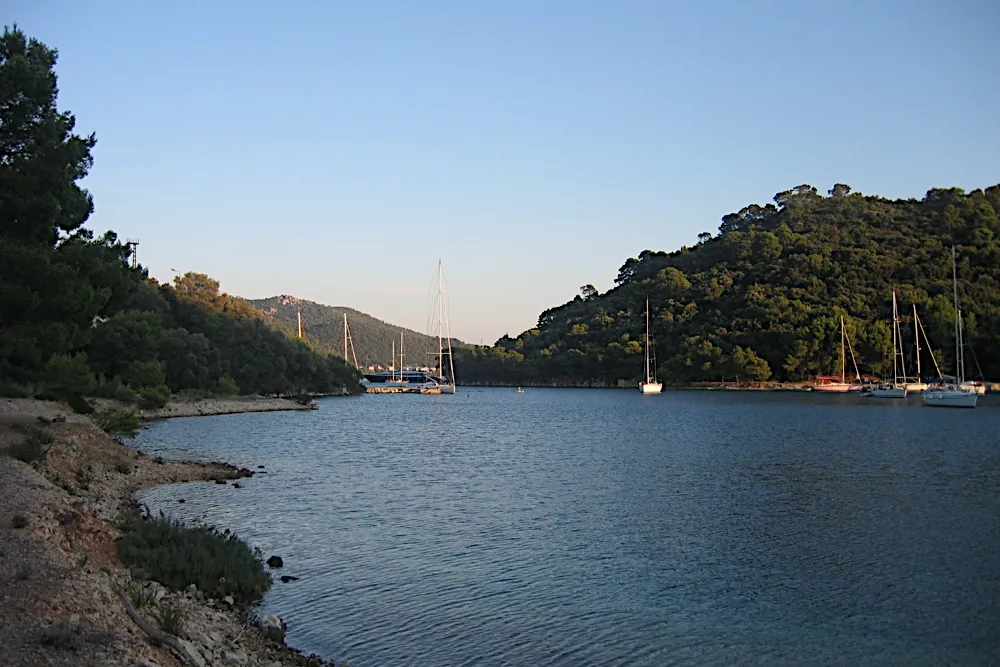
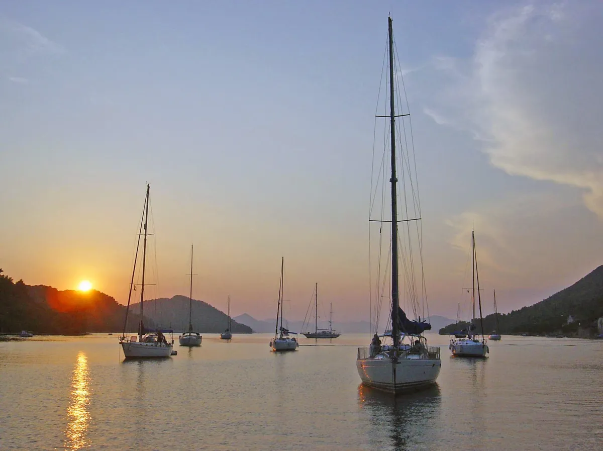
Yachts at their moorings in the bay at Pasadur on Lastovo on a calm evening, between wooded hillsPasadurMarinaUnknownTell us about a night in the marina at Pasadur
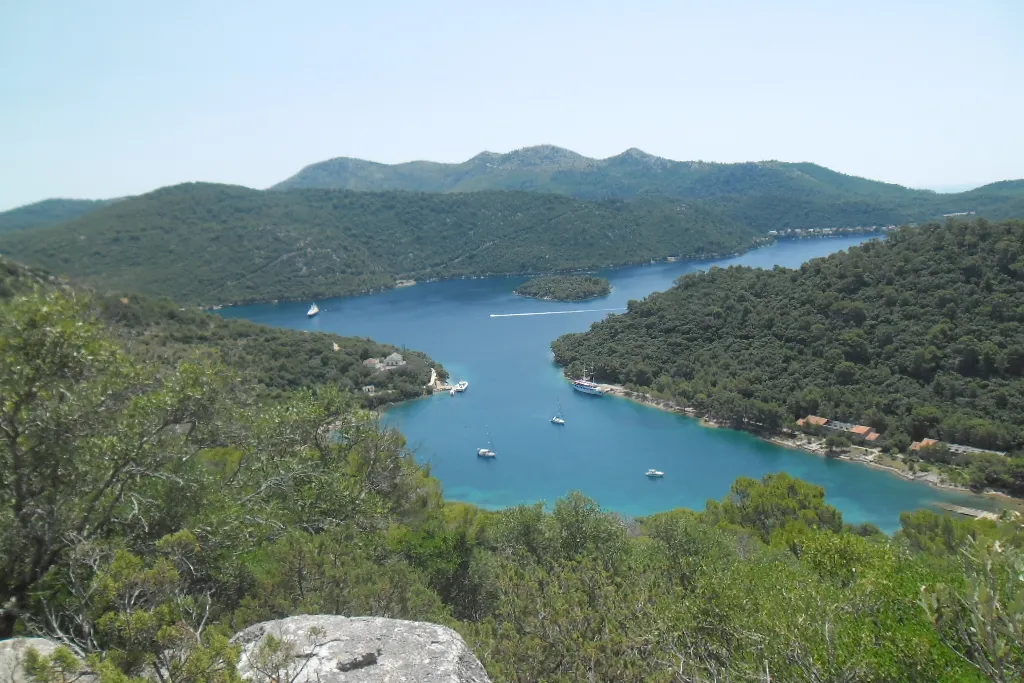
Vejo Lago on Lastovo from Jurjev vrh: a long blue bay between wooded hills, with a small islet, yachts at their moorings and Pasadur on its shoreVejo Lago buoysBuoys€40 (Official source, )
Skrivena Luka on the south coast of Lastovo from the hills above, a long blue bay between bare stony slopes, with the Struga lighthouse on the headlandSkrivena LukaBuoys€40 (Official source, )

Lastovo Islands Nature Park: the ticket, the buoys and anchoring

The Lastovo Islands Nature Park takes in 44 islands, islets, rocks and reefs, the largest Lastovo and Sušac, with 53 km² of land and 143 km² of sea. (Official source, ) Its rules and fees apply wherever you stop on Lastovo.

Where to anchor
In the nature park a boat may moor or anchor only at the marked moorings and anchorages. Anchoring anywhere else is forbidden. (Official source, )
The park ticket
Every boat in the nature park needs the park's ticket: for a boat of 11 to 17.99 m, €36 a day bought online or €45 bought in the park, from June to September. (Official source, ) €72 for 3 days online, €90 in the park. From January to May and October to December, €19 a day online and €23 in the park. For 7 to 10.99 m, €28 a day online in summer. A ticket bought on the day runs to noon the next day, and the buoy fee is not included.
The buoys
The park has laid buoys in four places: Skrivena Luka (15), under the islet in Zaklopatica (15), north of the islet Makarac in Vejo Lago (15) and Saplun bay on the islet Mladine (12). Each buoy takes one boat up to 20 m, and two each in Skrivena Luka and Vejo Lago take boats up to 30 m. (Official source, )
A night on a buoy
A night on one of the park's buoys costs €40 for a boat of 10.01 to 20 m, so €40 for a 12 m boat, paid to the park rangers on top of the park ticket. (Official source, ) Take a park buoy with the help of the park's staff, or the park takes no responsibility for the mooring. The park also cites the national rule that a boat on an anchorage keeps its crew on board. (Official source, )
In strong wind
Boats must leave the park's buoys when gusts over 20 m/s, about 39 knots, are forecast. (Official source, )

Wind and shelter on Lastovo

The three summer winds, and which bays each one reaches. Check the forecast before you pick a night, and our guide to the winds for which forecast to trust.

Maestralfrom the northwest

The afternoon sea breeze in summer. Good sailing.

Exposed
Zaklopatica (Third-party source, ), Ubli (Third-party source, ), Pasadur (Third-party source, ) and Vejo Lago (Third-party source, )
Sheltered
Skrivena Luka (Third-party source, )

Jugofrom the southeast

A warm, wet wind that brings swell.

Exposed
Ubli (Third-party source, ), Pasadur (Third-party source, ) and Vejo Lago (Third-party source, )
Sheltered
Skrivena Luka (Third-party source, )

Burafrom the northeast

Cold, dry and gusty. It can arrive with little warning.

Exposed
Zaklopatica (Third-party source, ), Ubli (Third-party source, ), Pasadur (Third-party source, ) and Vejo Lago (Third-party source, )
Sheltered
Skrivena Luka (Third-party source, )

Read the DHMZ marine forecast each morning. Boats must leave the park's buoys when gusts over 20 m/s, about 39 knots, are forecast. (Official source, )

Wind and sea, next 3 days

For Zaklopatica.

Model forecast from Open-Meteo.Not an official forecast. Not for navigation.

Official forecast: DHMZ marine forecast (Official source, )

How to read this forecast

Each part of the day shows its strongest hourly wind and gust, and its highest wave, in Croatian time. The words follow the Beaufort scale, and the model can't tell a real bura from any other northeast wind. How to read a model forecast

Weather data by Open-Meteo.com, CC BY 4.0. Grouped into parts of the day by OlaSail.

Swim stops on Lastovo by boat

Boats may moor or anchor in the park only at marked moorings and anchorages, so away from the harbours a swim stop means one of the park's buoy fields. Three of them are in the bays where you spend the night; Saplun bay, on the Lastovnjaci islets east of Lastovo, is the fourth.

Saplun bay

Saplun bay

A bay on the north side of the islet Mladine, in the Lastovnjaci group, with the park's buoys

How to stop
On one of the park's buoys: €40 a night on a park buoy, 12 m boat. (Official source, )
On the way
About 1 NM north-east of Saplun bay, at 42°47.6′N 017°00.2′E, lies the Buškanje shoal, marked by north and south cardinal lights. Its isolated-danger light may be gone: a temporary notice still in force strikes it from the charts. (Official source, ) HHI's temporary chart notice 5(T)-3/19, still in force on 1 Jan 2026, strikes the isolated-danger light mark and topmark at that position from the charts. The distance is ours, from HHI's position and our pin for the bay.South-east of the islet Petrovac a dangerous reef 1.7 m deep is marked by an isolated-danger mark, and south-west of the islet the Turkovica shoal, 3 m deep, by a starboard-hand light. (Official source, )
Rules it out
Our measure from the chart: Saplun is open to the north-east, west and north-west, with more than 10 NM of open water, and partly to the north. The park asks boats to leave its buoys when winds over 20 m/s are forecast. (Measured by us, )

Don't miss on Lastovo

Lastovo town on its hillside, stone houses with red roofs climbing towards the church tower, below the wooded hill with the fort on topPhoto: “Lastovo-Stadt” by Tbachner, CC BY 3.0, cropped and resized

Lastovo town

The island's old town, on the hillside above the north coast. Lastovo town has been protected by the Ministry of Culture since 2005 as a cultural and historical whole, for its Renaissance architecture and the way it is built like an amphitheatre. (Official source, )

Lastovo town on its hillside, stone houses with red roofs climbing towards the church tower, below the wooded hill with the fort on topPhoto: “Lastovo-Stadt” by Tbachner, CC BY 3.0, cropped and resized

Lučica, below the town

Lučica, the cove below Lastovo town, is the last preserved baroque fishing settlement in this part of Dalmatia, with stone fishermen's houses built from the early 17th century, about ten minutes' easy walk from the town. (Official source, ) Lučica's harbour is a cove about 40 by 27 m, used by local boats, so visit it on foot from the town. (Official source, )

Skrivena Luka on the south coast of Lastovo from the hills above, a long blue bay between bare stony slopes, with the Struga lighthouse on the headlandPhoto: “Skrivena luka, Lastovo” by Dijana Župan, CC BY-SA 4.0, resized

The Struga lighthouse

The Struga lighthouse stands on a cliff above Skrivena Luka, its 20 m tower 104 m above the sea. It is one of the oldest on the Adriatic, and its light shows 20 miles out. (Official source, )

On the route

Lastovo is night 4 of Split to Dubrovnik in a week, 148 NM one way. (Measured by us, ) Day 4 comes 19 NM from Vela Luka, (Measured by us, ) and day 5 goes on 25 NM to Polače on Mljet. (Measured by us, )

1234567
The whole route, Split to Dubrovnik in a week

It is also night 5 of Two weeks from Split, a 293 NM loop. (Measured by us, ) Day 5 comes 22 NM from Korčula town. (Measured by us, )

Day 5 of Two weeks from Split
Split to Dubrovnik in a week on a mapSSplit1Palmižana23Vela Luka4Zaklopatica567Split to Dubrovnik in a week on a mapSSplit1Palmižana2Vis town3Vela Luka4Zaklopatica567DubrovnikSplit to Dubrovnik in a week on a mapSSplit1Palmižana2Vis town3Vela Luka4Zaklopatica5Polače67DubrovnikSplit to Dubrovnik in a week on a mapSSplit1Palmižana2Vis town3Vela Luka4Zaklopatica5Polače67Dubrovnik
Not for navigation

What sailors told us

From sailors after a night here. They tell us what to check next, and don't count in the checks above.

Zaklopatica

A Dutch family who cruise Croatia on their own yacht go in through the narrow entrance of Zaklopatica for afternoon swims, and moor at the restaurants deep in the bay for dinner, sometimes staying the night.

A Dutch family who cruise Croatia on their own yacht, in a 2025 magazine featureYachting World: sailors share their favourite European secret cruising spots, the Croatia entry, on Lastovo · By Martin Vooijs · Reported · Retold in our words · Account not independently verified

Lastovo

Island hopping one to three hours a day in summer 2024, a boat owner and crew stayed five days on Lastovo and called it a dream.

A motorboat ownersommer on boote-forum.de · Posted · Retold in our words · Account not independently verified · Read the reply

Help keep this page right

Sailed here this season? Tell us what you found. We check it with the source before anything changes.

Or confirm one fact: tap the small mark after it, then "Yes, I saw it".

Other ways to help

Photos on this page

  • Lastovo town on its hillside, stone houses with red roofs climbing towards the church tower, below the wooded hill with the fort on topLastovo town, island of Lastovo. Photo: “Lastovo-Stadt” by Tbachner, CC BY 3.0, cropped and resized
  • Skrivena Luka on the south coast of Lastovo from the hills above, a long blue bay between bare stony slopes, with the Struga lighthouse on the headlandSkrivena Luka, south coast of Lastovo. Photo: “Skrivena luka, Lastovo” by Dijana Župan, CC BY-SA 4.0, resized
  • Zaklopatica bay on Lastovo from the hillside above, with the village and its quay on a wooded point and a few boats in the sheltered bayZaklopatica, island of Lastovo. Photo: “Zaklopatica bay - panoramio” by Aleksandar Topuzović, CC BY 3.0, cropped and resized
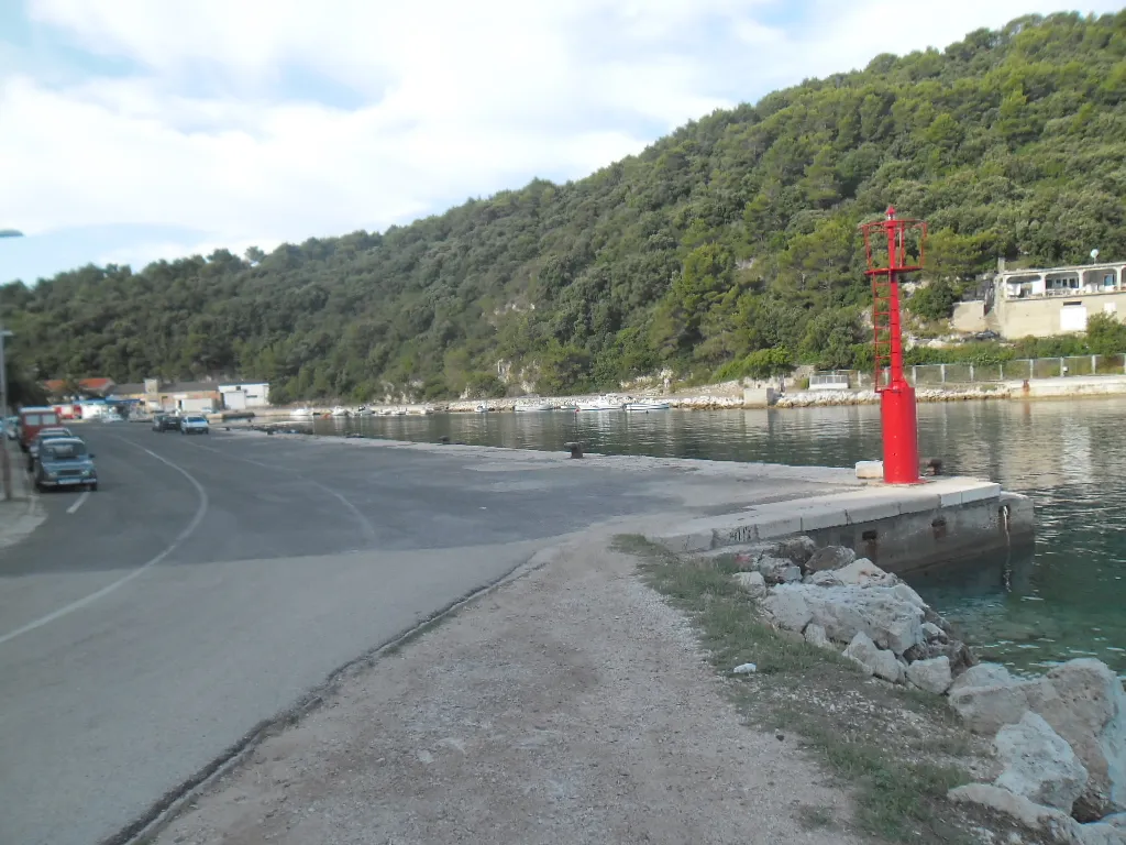
  • The ferry port of Ubli on Lastovo: the concrete quay with its red harbour light, calm water and wooded hills behindUbli, island of Lastovo. Photo: “Trajektna luka Ubli” by August Dominus, CC BY-SA 3.0, cropped and resized
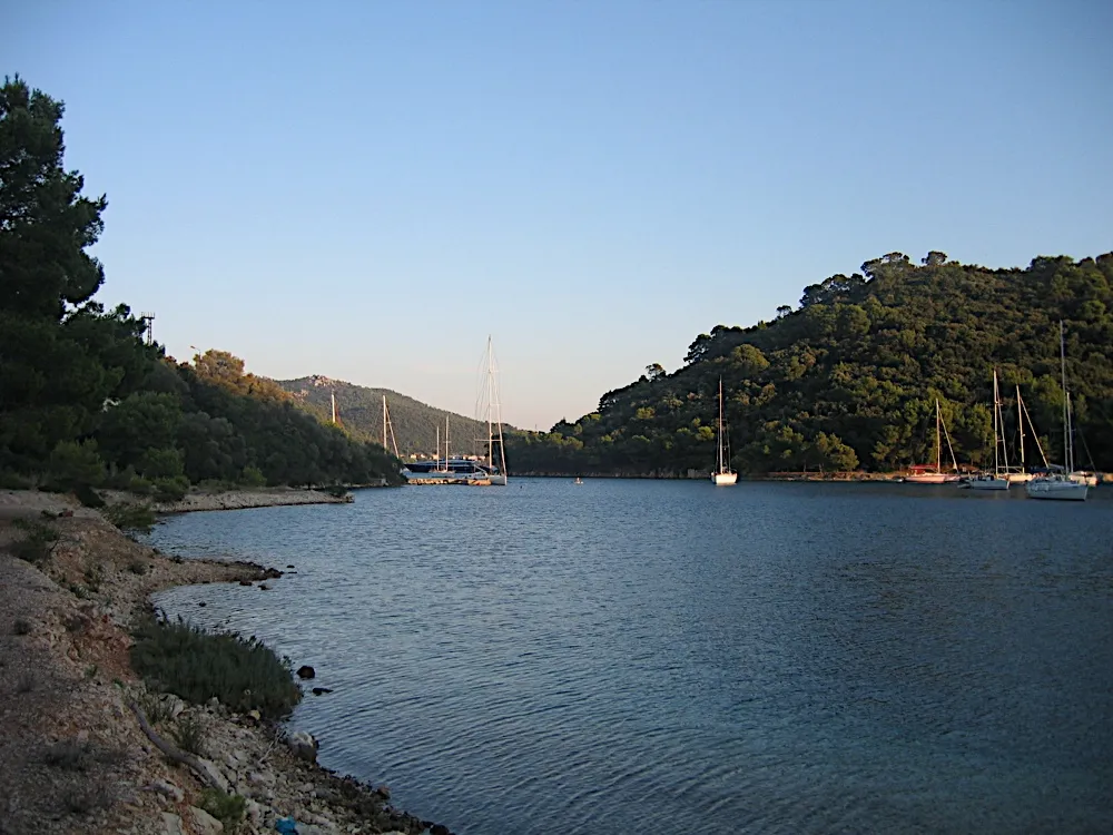
  • Yachts at their moorings in the bay at Pasadur on Lastovo on a calm evening, between wooded hillsPasadur, island of Lastovo. Photo: “Pasadur, Croatia - panoramio” by Aleksandar Topuzović, CC BY 3.0, cropped and resized
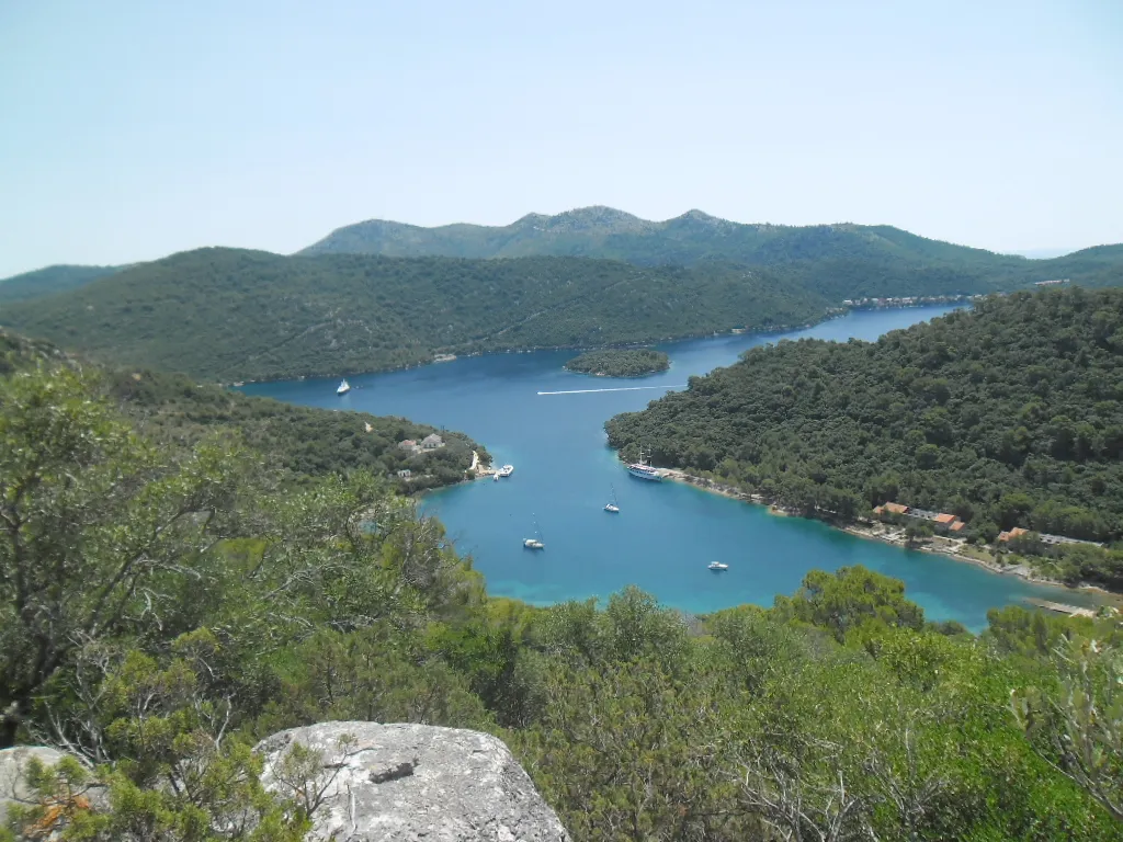
  • Vejo Lago on Lastovo from Jurjev vrh: a long blue bay between wooded hills, with a small islet, yachts at their moorings and Pasadur on its shoreVejo Lago and Pasadur, island of Lastovo. Photo: “Pasadur” by August Dominus, CC BY-SA 3.0, cropped and resized
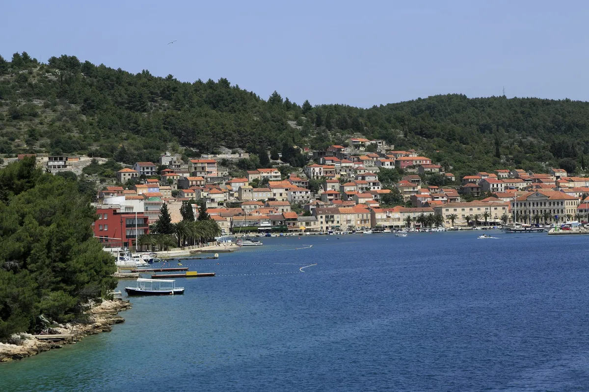
  • Vela Luka seen from the water, with stone houses and orange roofs along the waterfront under a wooded hill, and a few small boats moored at the shoreVela Luka, island of Korčula. Photo: “J36 120 Vela Luka” by Falk2, CC BY-SA 3.0 de, resized
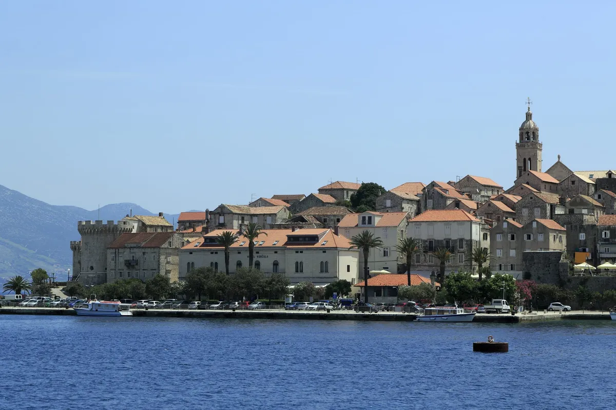
  • The old town of Korčula from the water, with stone houses, a round tower and the bell tower above the town quay, where boats are mooredKorčula old town, island of Korčula. Photo: “J36 046 Altstadthalbinsel” by Falk2, CC BY-SA 3.0 de, resized
Show all 9 photo creditsShow fewer photo credits
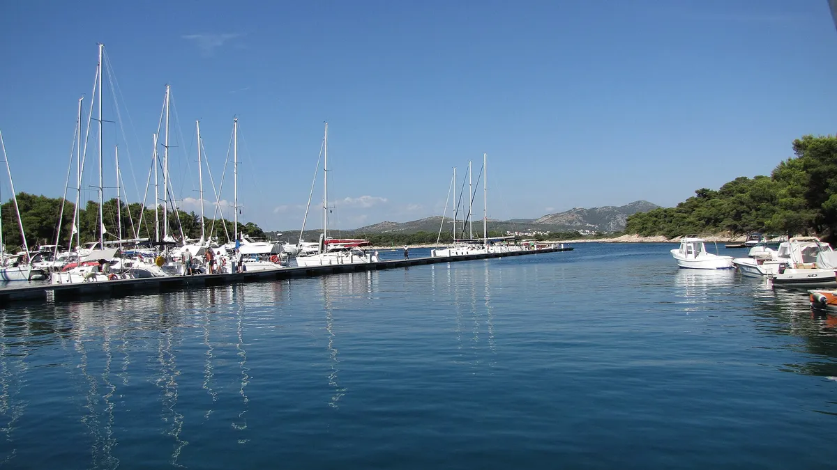
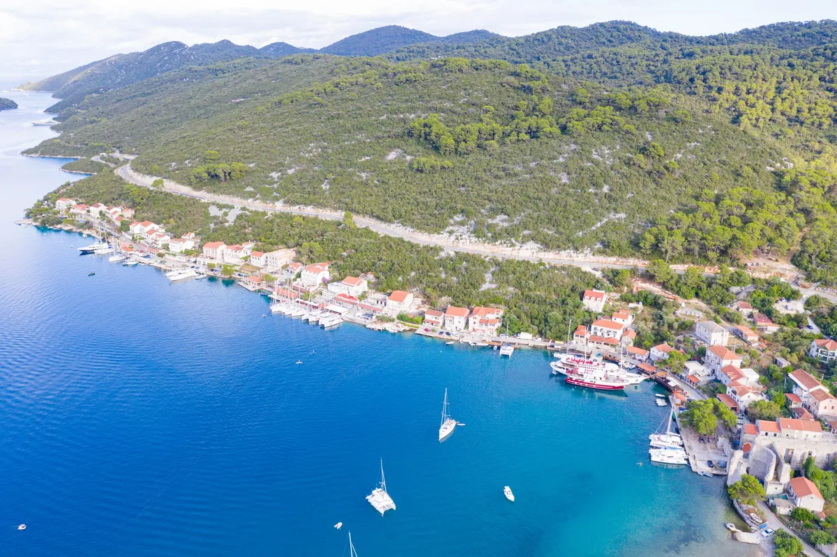
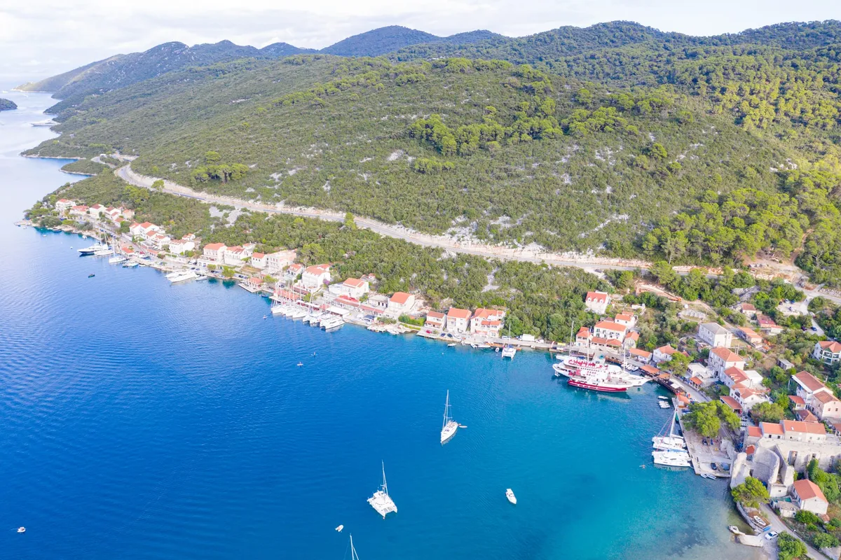
  • Polače on Mljet from the air, with yachts moored along the quay below the pine-covered hill, and sailing yachts and a catamaran at anchor in the bayPolače, island of Mljet. Photo: “Blick auf den Hafen Polace auf Mljet, Kroatien” by dronepicr, CC BY 2.0, cropped and resized

Nearby