Skip to content
OlaSailSearch

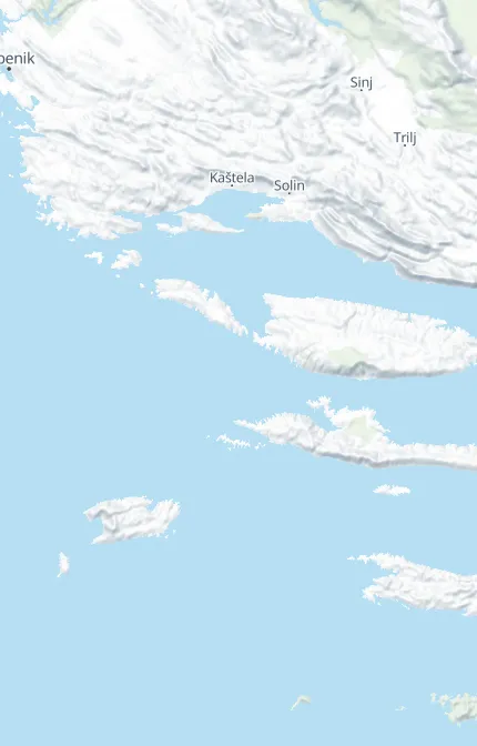
Sailing map of Central and South Dalmatia

Every place we list, with the source of each fact and the date we checked it. So far that is Central Dalmatia, from Trogir and Split out to Vis, and in South Dalmatia, Korčula, Lastovo, Mljet, the Elaphiti Islands and the Dubrovnik coast.
76places on the map
51with a price for the night
4routes, from Split and from Trogir
Not for navigation

Tap the map to open it full screen. A pin or a place in the list shows its price, source and check date, and a number stands for places close together: tap it to zoom in.

76 places on 13 islands and coasts, 51 with a price for the night. Prices are for a 12 m boat.

Central Dalmatia

The region

Vis9 places

Komiža and Biševo5 places

Hvar7 places

The Pakleni Islands4 places

Brač12 places

Šolta7 places

Split4 places

Trogir8 places

South Dalmatia

The region

Korčula7 places

Lastovo5 places

Mljet6 places

Elaphiti Islands1 place

Dubrovnik coast1 place

Other regions are not on the map yet. The six regions

All 58 facts on this page name their source, the latest checked on : 26 from the operator, 28 from official sources and 4 measured by us.

See every source

Written by Domagoj Franc, editor. Reviewed by Ivor Benko, skipper.

Published . Updated .

What the pins mean

Marina, with water, power and staffTown quay, a town's public harbour wallMooring buoys you pay for by the nightAnchorageRestaurant with its own quay or buoysDon't miss, a place to visit by daySwim stop, on the water where you anchor or take a buoy. Swim spots and coves3Places close together. Tap to zoom in until they partFuel on the way: Fuel stations for boats in Vis town (INA Vis) and in Milna (INA Milna-marina), open 7 am to 7 pm every day (From the operator, )Our seven days from Split, 123 NM (Measured by us, )Our easy first week from Trogir, 62 NM (Measured by us, )
(From the operator) (Official source) (Seen by us) (Seen by a sailor) (Measured by us) (Sources disagree) (Third-party source) How we check

Not on the map yet

Istria, Kvarner, North Dalmatia, Šibenik and Krka, and the rest of South Dalmatia. We add a place only once we have checked it.

Help keep this page right

Found something different on the water this season? Tell us what you found. We check it with the source before anything changes.

Other ways to help

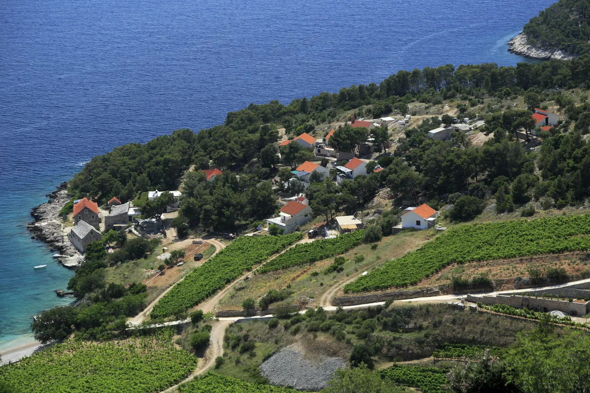
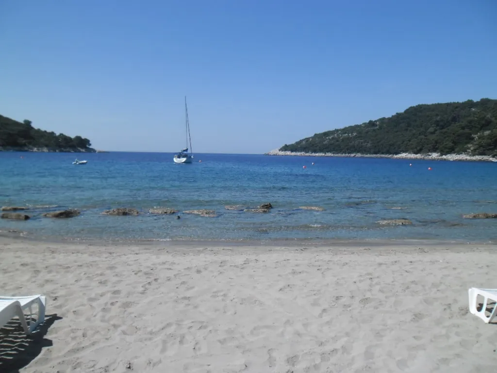
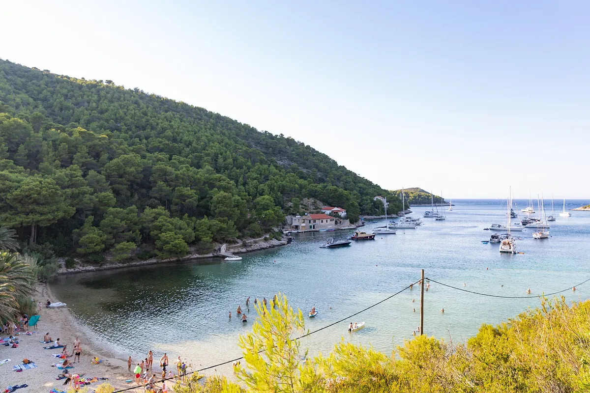
Photos on this page

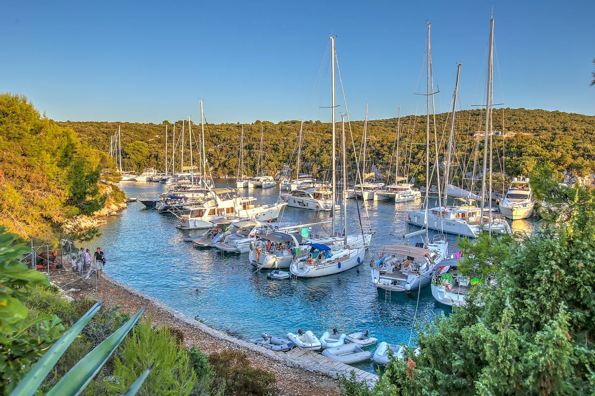
  • Yachts on mooring buoys in Stončica bay, with the beach and pine slope, seen from the hillsideStončica, east coast of Vis. Photo: “Stoncica beach bay on Vis island, Croatia” by dronepicr, CC BY 2.0, resized
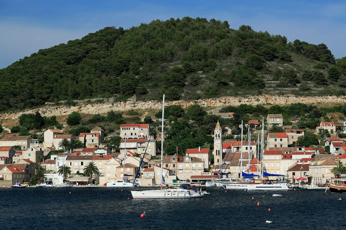
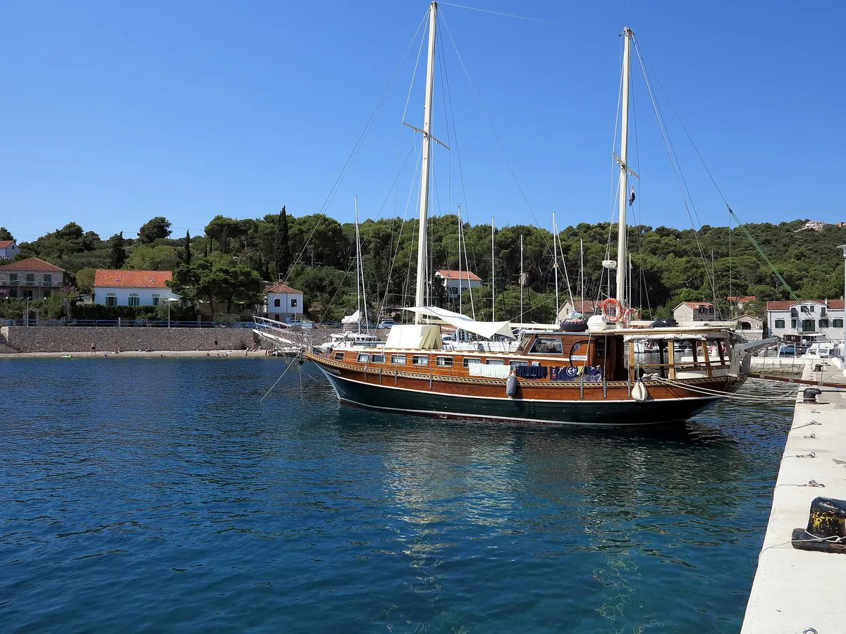
  • Kut waterfront in Vis town with yachts and gulets moored and a yacht on a buoy in frontKut, Vis town, island of Vis. Photo: “J32 421 Vis-Stadt, Lučica” by Falk2, CC BY-SA 4.0, resized
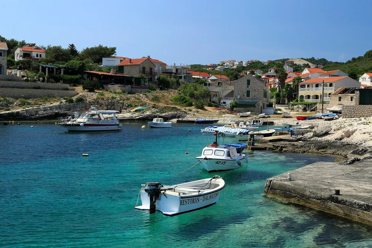
  • Small local boats in the clear turquoise bay at RukavacRukavac, south coast of Vis. Photo: “J32 450 Rukavac” by Falk2, CC BY-SA 4.0, resized
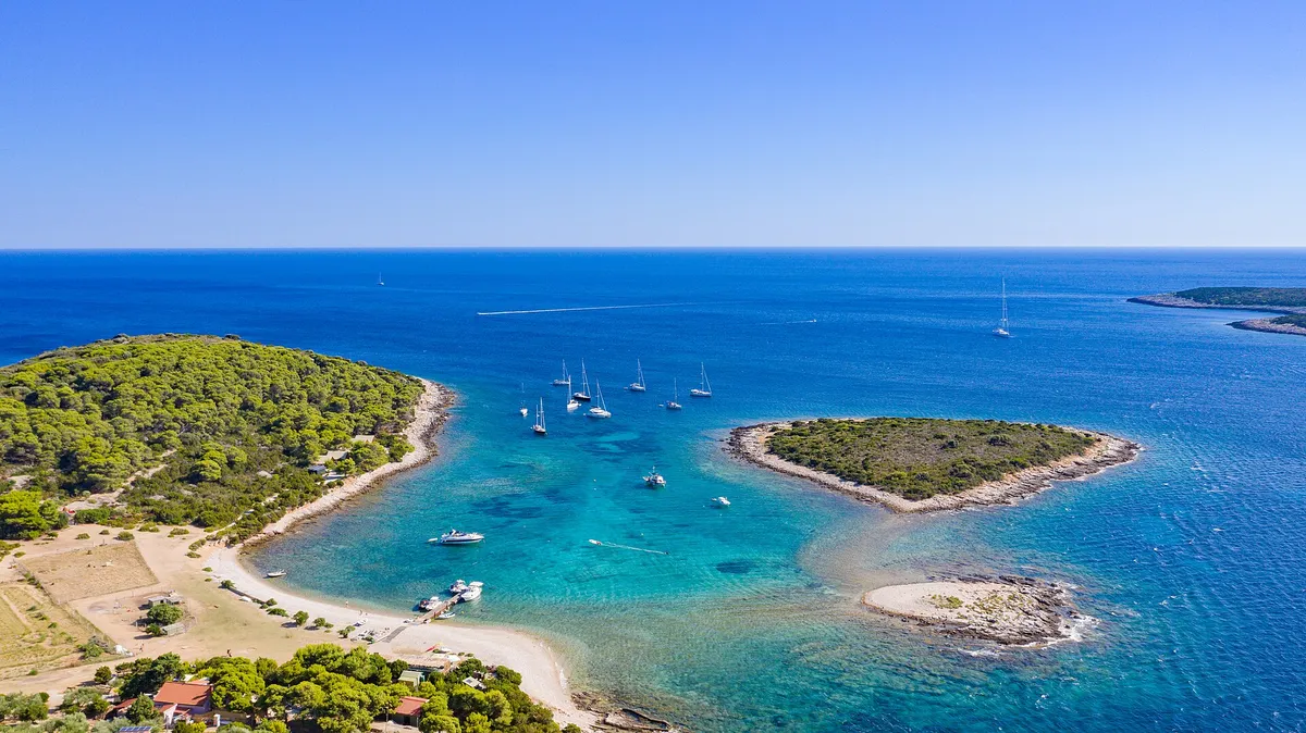
  • The lagoon between Veli Budikovac and Mali Budikovac from the air, yachts on the buoys in turquoise water, the pebble beach and the jetty on Veli Budikovac and open sea beyondThe Budikovac lagoon (Plava laguna), off south-east Vis. Photo: “Blue lagoon at Budikovac island in Croatia” by dronepicr, CC BY 2.0, resized
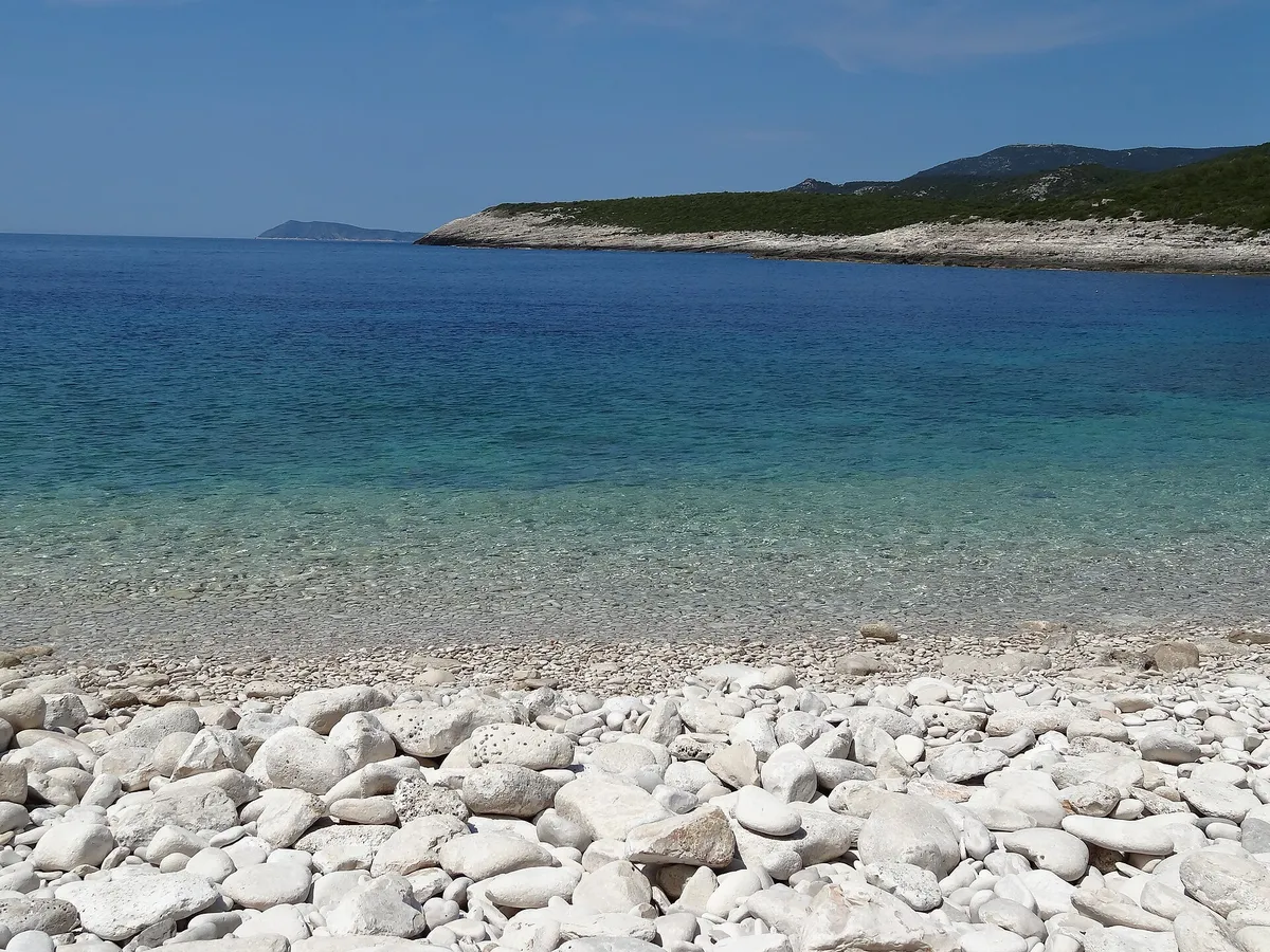
  • The white pebble beach of Srebrna bay with clear shallow water, the low rock slabs of the headland and open sea beyondSrebrna bay, south-east coast of Vis. Photo: “SREBRNA - panoramio” by sanja mm, CC BY 3.0, resized
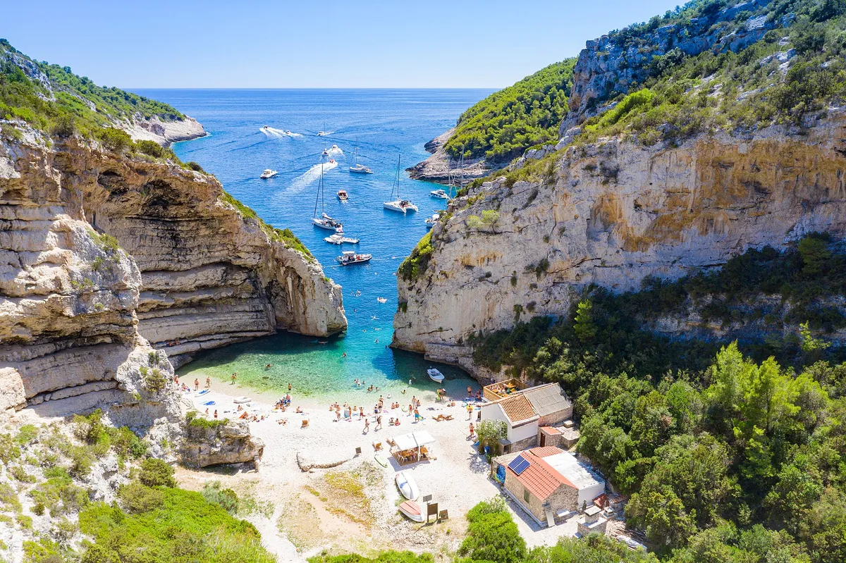
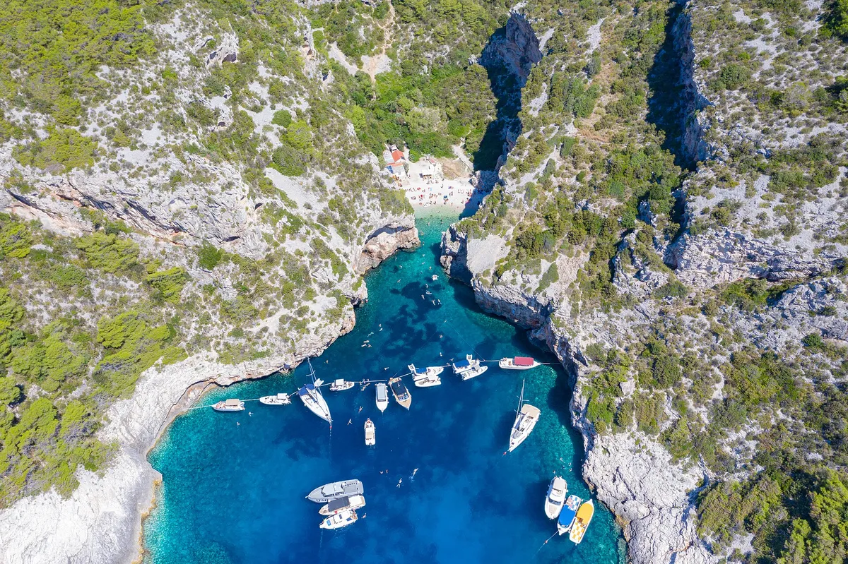
  • Yachts and motorboats anchored inside Stiniva cove, straight-down aerialStiniva Bay, south coast of Vis. Photo: “Luftbild von der Bucht Stiniva auf der Insel Vis in Kroatien” by dronepicr, CC BY 2.0, resized
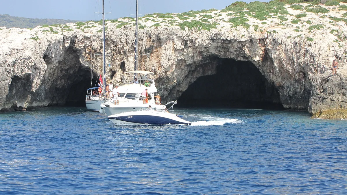
  • The two sea entrances of the Green Cave on Ravnik seen from the water, a sailing yacht and a motor cruiser at the mouth and a speedboat passingThe Green Cave (Zelena špilja), islet of Ravnik, off south-east Vis. Photo: “Vis Ravnik green cave - panoramio” by Dejan Sekuloski, CC BY 3.0, resized
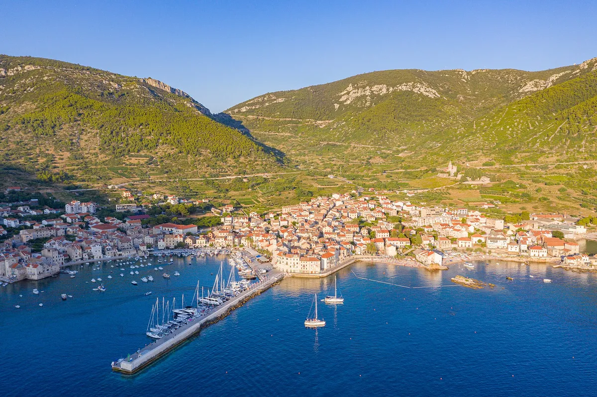
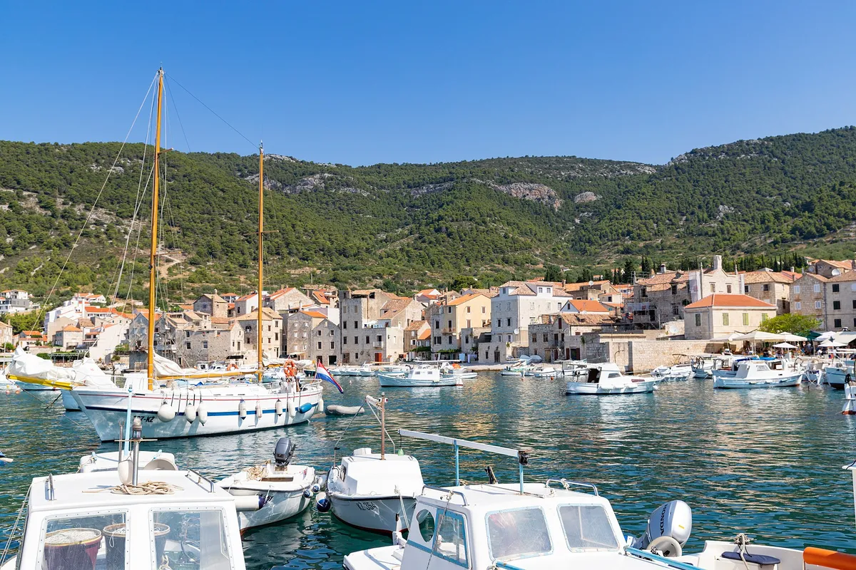
  • Komiža harbour on Vis, with fishing boats, a wooden sailing boat and small motorboats in front of the old town and the hills.Komiža, Vis, the harbour. Photo: “Hafen Komiza auf der Insel Vis in Kroatien” by dronepicr, CC BY 2.0, resized
Show all 72 photo creditsShow fewer photo credits
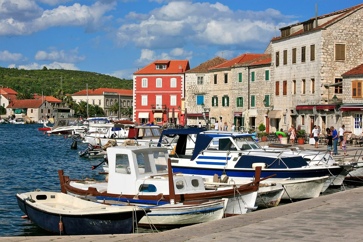
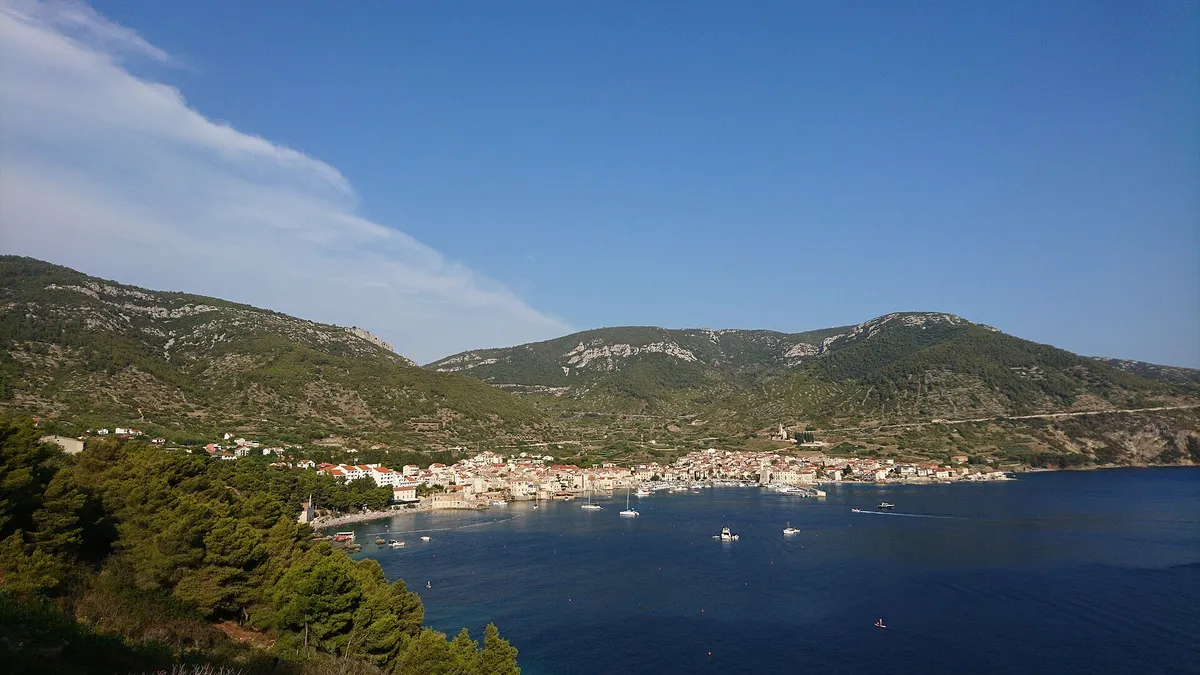
  • Komiža bay from the hillside, with boats at anchor in front of the town and the Hum hills behind.Komiža, Vis, the bay. Photo: “Komiža Island Vis” by ModriDirkac, CC BY-SA 4.0, resized
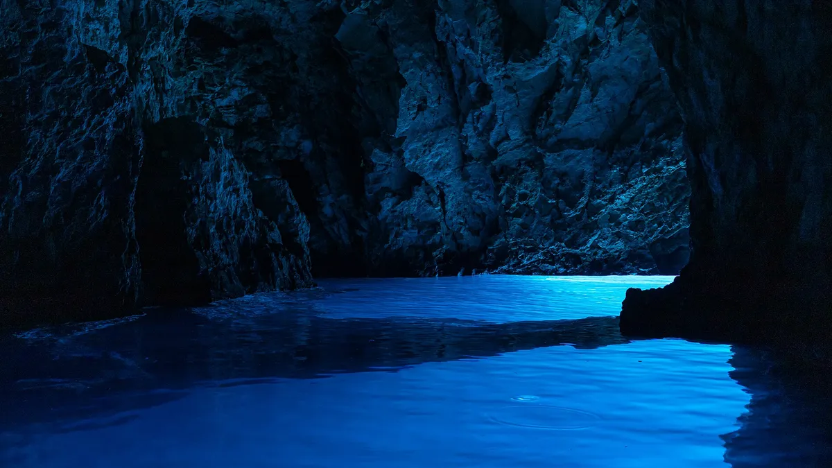
  • Light glowing blue on the water inside the Blue Cave (Modra špilja)Blue Cave, Biševo, near Komiža. Photo: “Biševo - Blue Cave - 2021-07-30 11-56-09 2642” by Pierre-Selim Huard, CC BY 4.0, resized
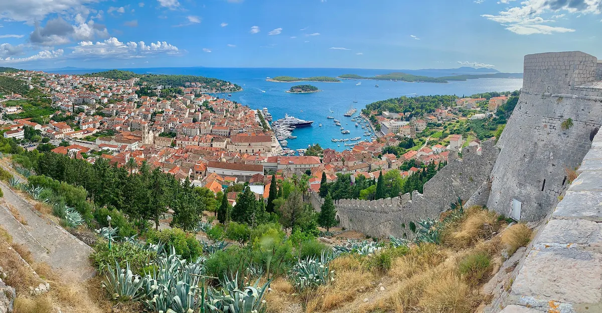
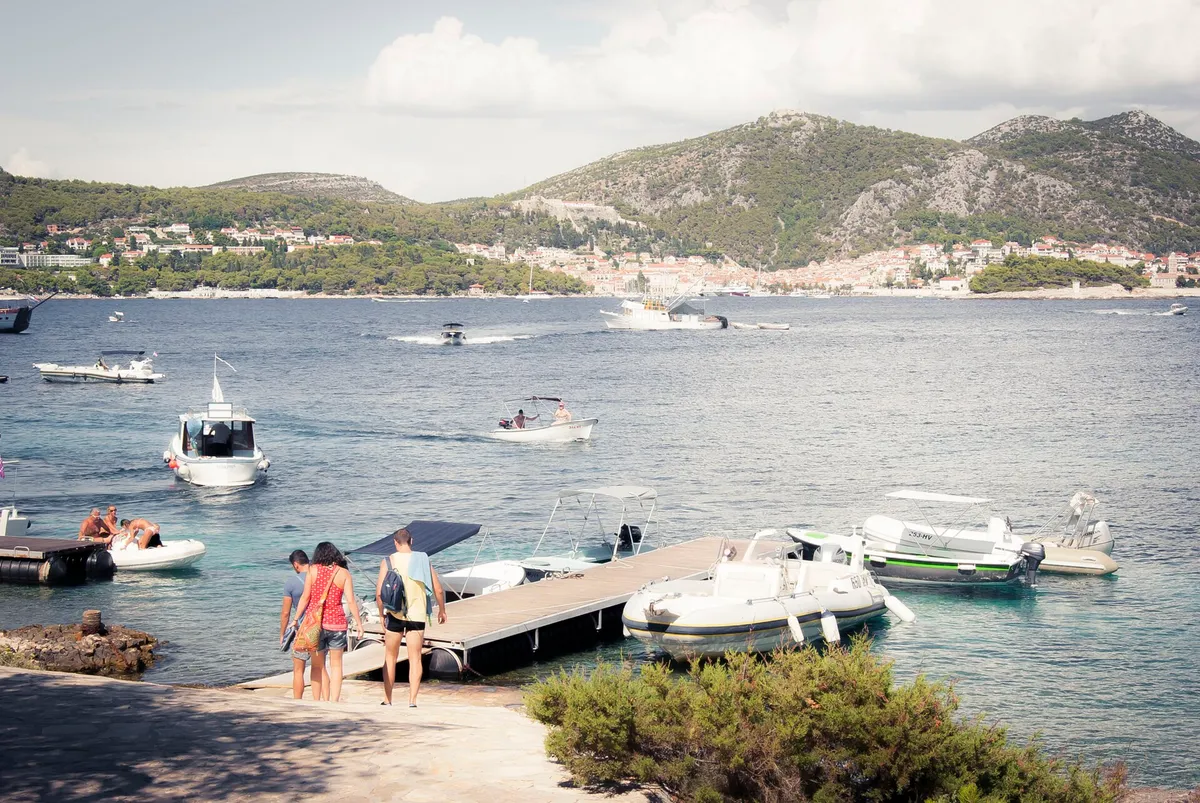
  • Hvar town harbour full of yachts, with the Pakleni islands beyond, seen from the Spanish fortress (Španjola)Hvar town, island of Hvar. Photo: “The Spanish Fortress in Hvar, Croatia” by Steve Jurvetson, CC BY 2.0, resized
  • Local boats and motorboats along the stone quay in Stari Grad harbourStari Grad, island of Hvar. Photo: “The Harbour of Stari Grad” by Alex Proimos from Sydney, Australia, CC BY 2.0, resized
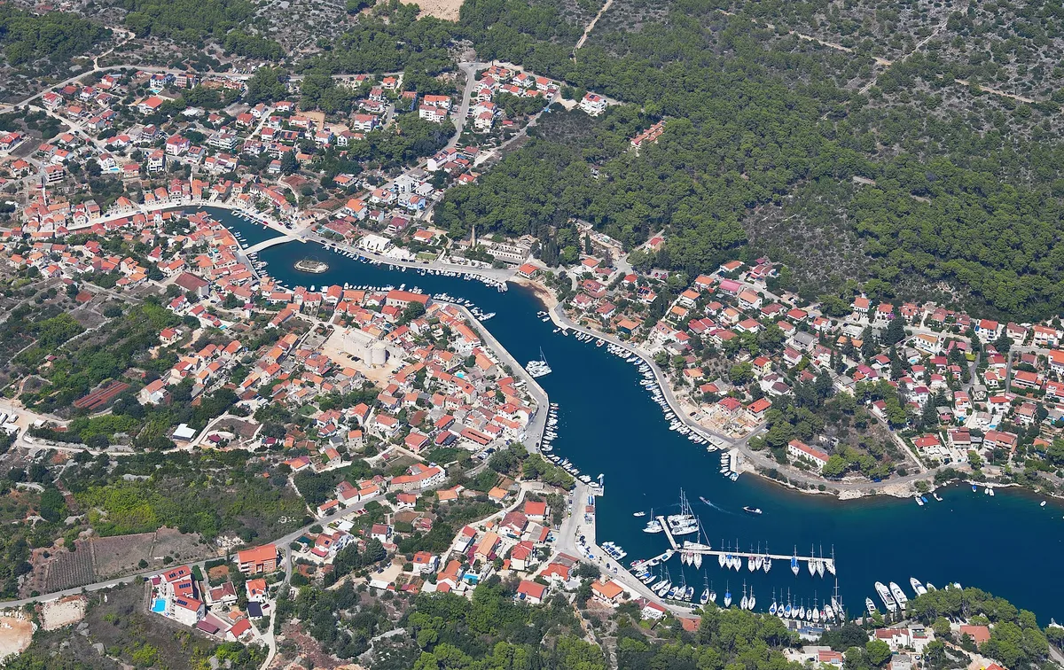
  • Vrboska from the air: the long narrow bay running up into the village, its bridges and quays, and the marina pontoons of ACI Marina Vrboska near the mouthVrboska and ACI Marina Vrboska, north coast of Hvar. Photo: “Aerial image of Vrboska, island of Hvar (view from the south) - 2024” by Carsten Steger, CC BY-SA 4.0, resized
  • Yachts on the main pontoon of ACI Marina Palmižana in Luka Palmižana on Sveti Klement, looking out of the cove toward HvarACI Marina Palmižana, Sveti Klement, Pakleni Islands. Photo: “Palmizana - panoramio” by Dejan Sekuloski, CC BY 3.0, resized
  • Vinogradišće bay on Sveti Klement from the beach at its head, yachts on the buoys in pale turquoise water and the islet of Stambedar at the mouthVinogradišće bay, south side of Sveti Klement, Pakleni Islands. Photo: “PALMIŽANA - panoramio” by sanja mm, CC BY 3.0, resized
  • The taxi-boat pontoon in Stipanska bay on Marinkovac, looking across the channel to Hvar town and the ForticaStipanska bay, Marinkovac, Pakleni Islands. Photo: “Hvar 09” by José Sáez, CC BY-SA 3.0, resized
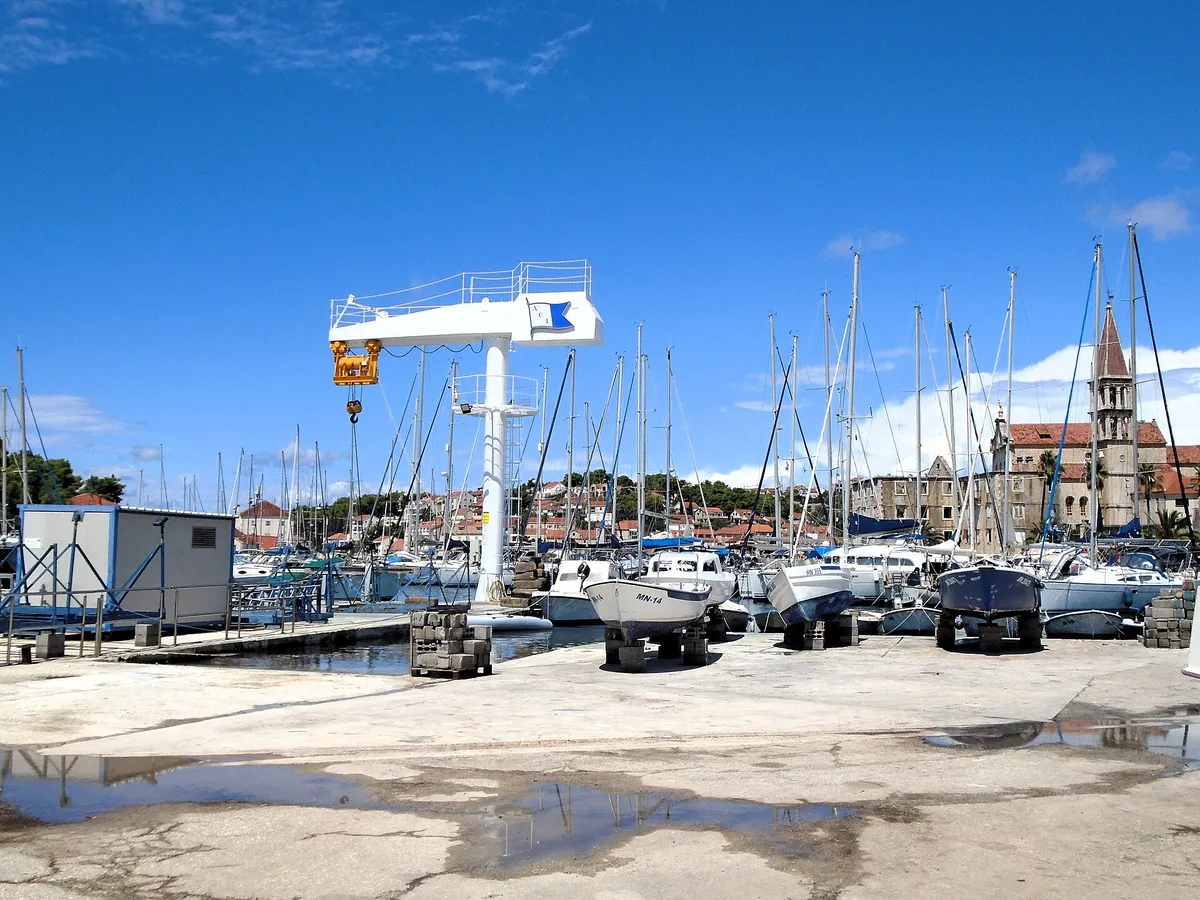
  • ACI Marina Milna at the head of Milna bay: yachts on the pontoons, boats on the hardstanding by the marina crane, and the bell tower of Milna church behindACI Marina Milna, island of Brač. Photo: “Milna - ACI marina” by Silverije, CC BY-SA 4.0, resized
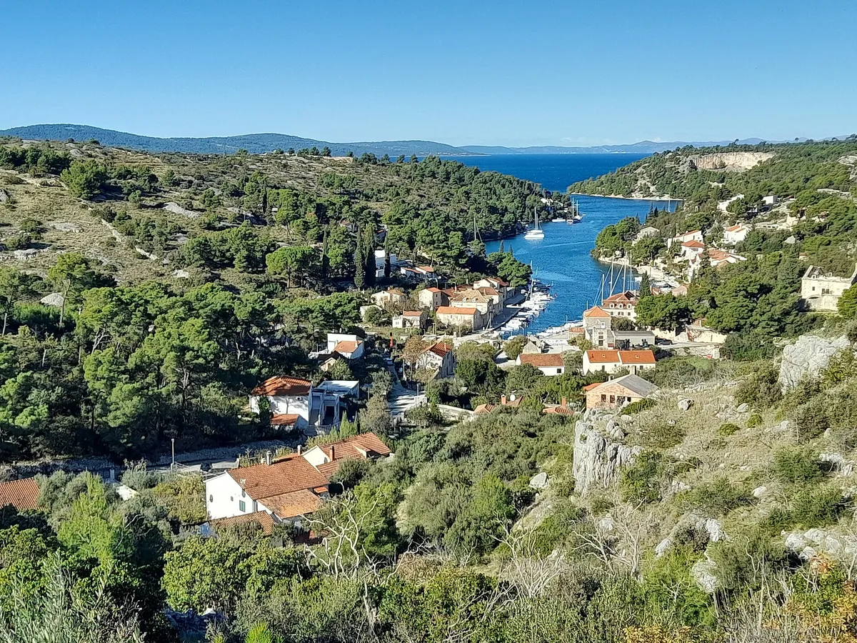
  • The Bobovišća inlet on Brač from the hill above, yachts moored along the narrow inlet below the village and the open sea beyond its mouthBobovišća na Moru, west coast of Brač. Photo: “Bobovišća na moru, Brač, Croatia 20231118 03” by Argo Navis, CC BY-SA 4.0, resized
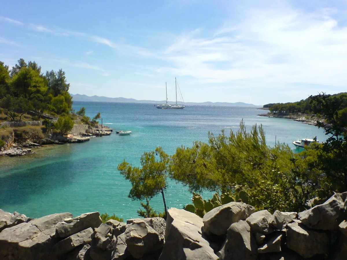
  • Lučice bay seen from the rocks above it, turquoise water between pine-covered arms, a two-masted yacht at anchor at the mouth and small boats by the shoreLučice bay, south-west Brač, near Milna. Photo: “Bucht Lucice” by Bunker, CC BY-SA 3.0, resized
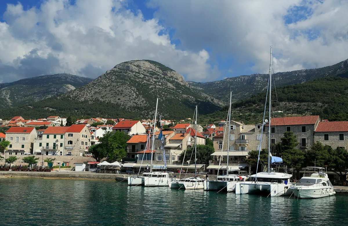
  • Charter catamarans and yachts moored stern-to on the town quay at Bol, seen from a boat leaving the harbour, with Vidova Gora and Velike Koštilo behind.Bol, Brač, the harbour. Photo: “J32 688 Hafen Bol” by Falk2, CC BY-SA 4.0, resized
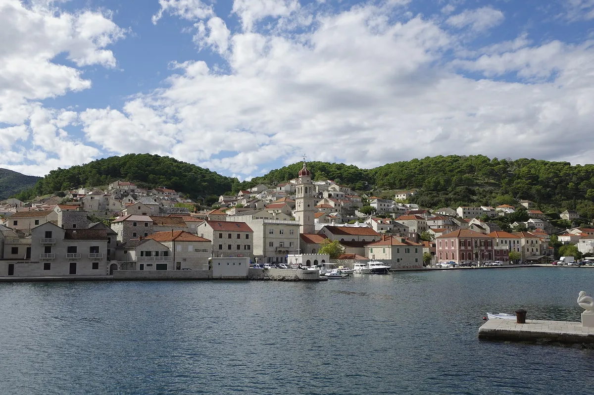
  • Pučišća harbour on Brač, a deep bay lined with white stone houses and the church bell tower, with small boats on the quay.Pučišća, Brač, the harbour. Photo: “Pučišća BW 2024-10-04 11-15-00” by Berthold Werner, CC BY-SA 4.0, resized
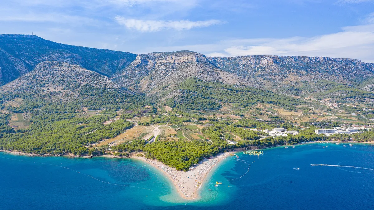
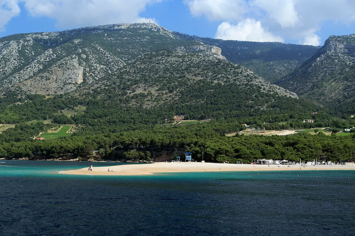
  • The Zlatni Rat beach spit seen from the sea, with pine woods and Vidova Gora rising behind.Bol, Brač, Zlatni Rat from the sea. Photo: “J32 692 Zlatni Rat, Vidova Gora” by Falk2, CC BY-SA 4.0, resized
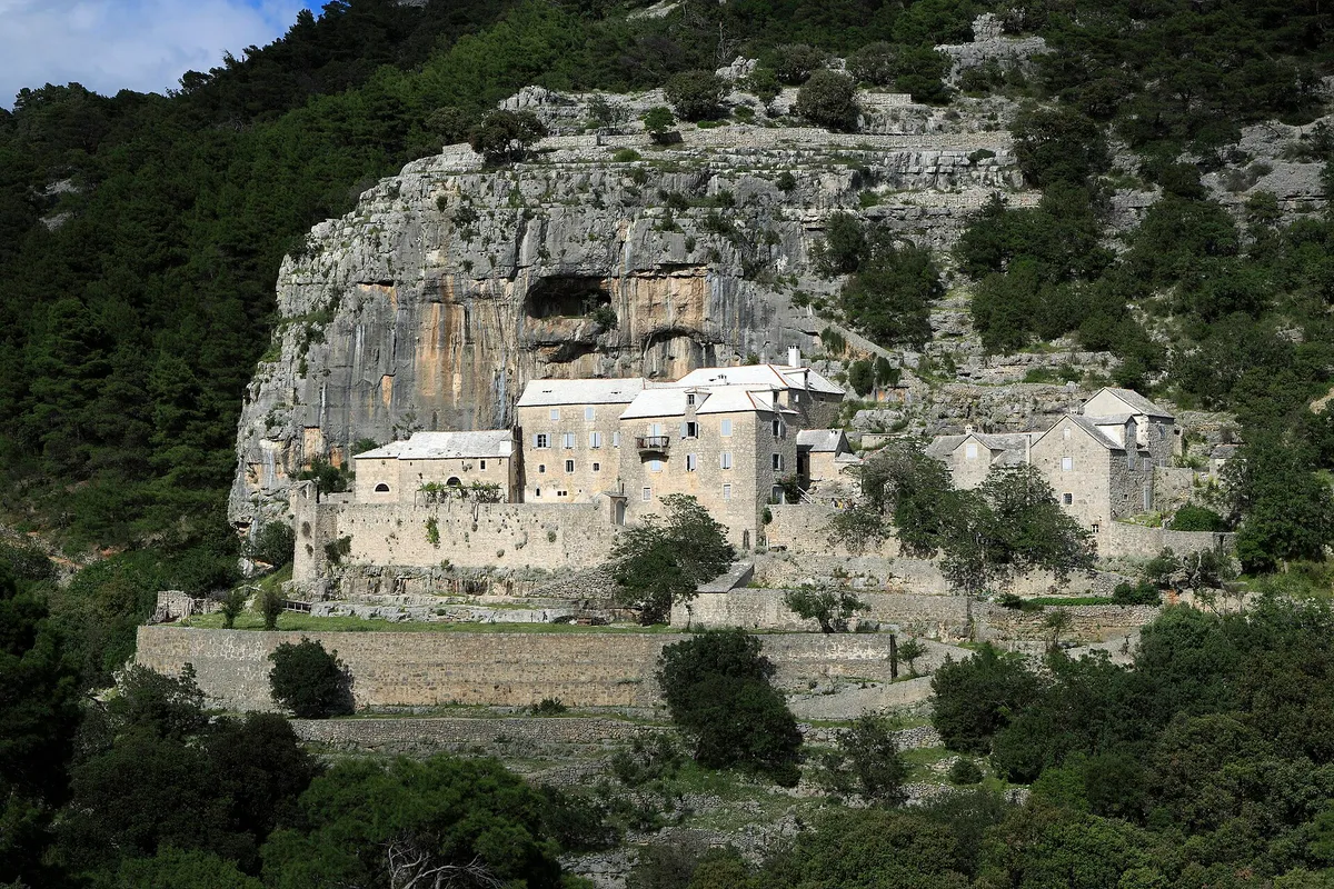
  • The Blaca hermitage, stone monastery buildings built against a cliff with a cave, in pine woods above the south coast of Brač.Brač, the Blaca hermitage. Photo: “J35 836 Kloster Blaca” by Falk2, CC BY-SA 3.0 DE, resized
  • The marina in Maslinica bay on Šolta, with yachts on the pontoons, the old castle and a small beach in front.Maslinica, Šolta, the marina and castle. Photo: “Maslinica, marina s tvrzí 01” by Draceane, CC BY-SA 4.0, resized
  • Yachts moored close together in the narrow Šešula bay beside Maslinica, late lightUvala Šešula, next to Maslinica, island of Šolta. Photo: “Šolta Maslinica Hrvatska Uvala Šešula 2019 08a” by Joadl, CC BY-SA 3.0 AT, resized
  • A gulet and yachts moored in Rogač bay on Šolta, next to the ferry quay, with pine woods and houses behind.Rogač, Šolta, the harbour. Photo: “Šolta Rogač Hrvatska 2012 a” by Joadl, CC BY-SA 3.0 AT, resized
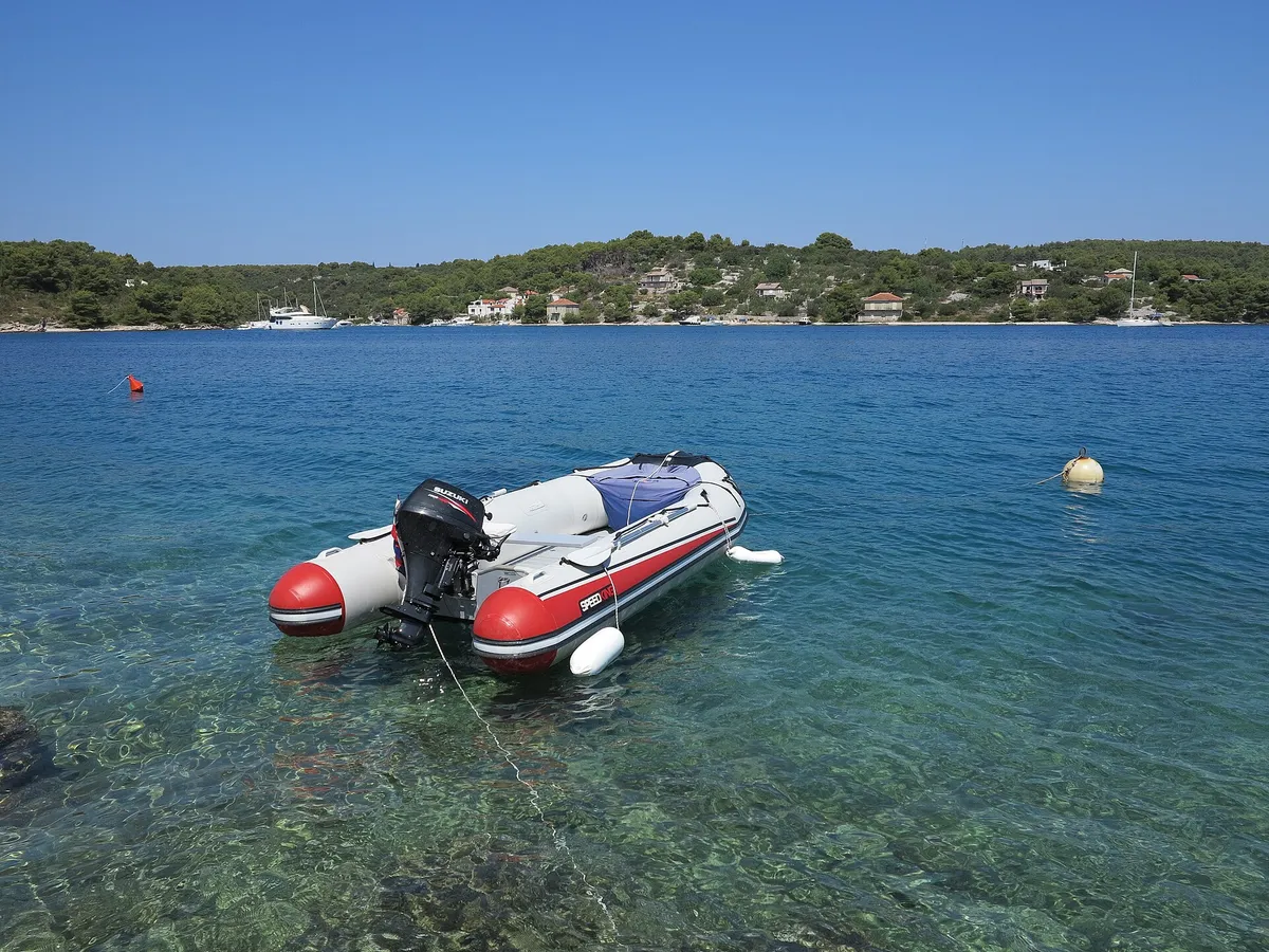
  • A tender on its mooring over clear water in Podkamenica cove, Nečujam bay, with a mooring buoy beside it and yachts moored along the far shorePodkamenica cove, Nečujam bay, north coast of Šolta. Photo: “Šolta Nečujam Hrvatska Podkamenica 2012 a” by Joadl, CC BY-SA 3.0 AT, resized
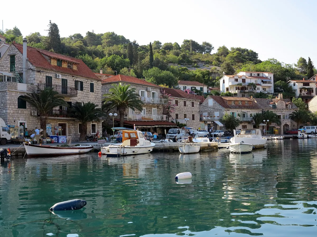
  • The waterfront of Stomorska on Šolta, with stone houses, palms and small boats on the quay above clear green water.Stomorska, Šolta, the harbour. Photo: “Šolta Stomorska Hrvatska Westufer 2012 c” by Joadl, CC BY-SA 3.0 AT, resized
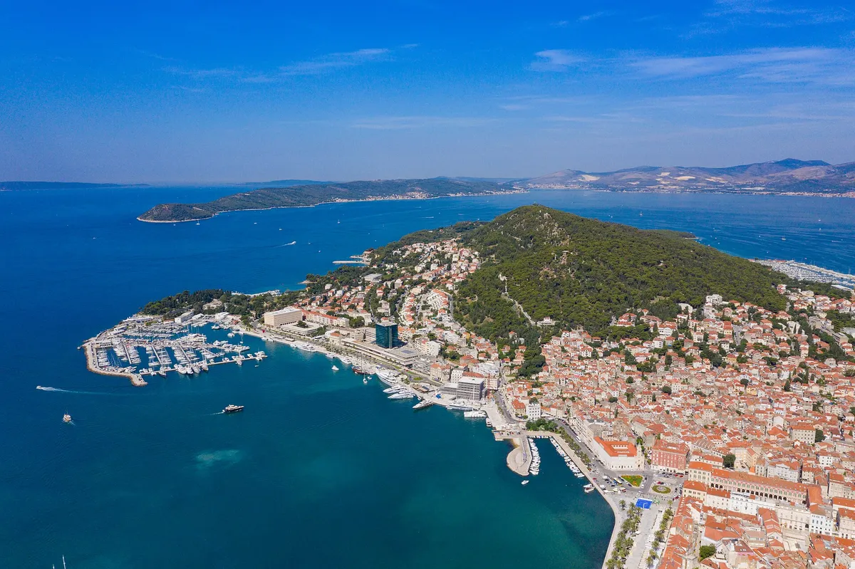
  • Aerial of Split with ACI Marina Split, Marjan hill, the Riva and the islands beyondSplit. Photo: “Aerial view of Marina Split in Croatia” by dronepicr, CC BY 2.0, resized
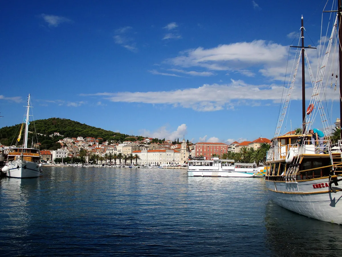
  • Split's city harbour seen from the water, with a gulet and an excursion boat in front of the Riva and Marjan hill behind.Split, the city harbour and the Riva from the water. Photo: “Split Croatie - Flickr - busylvie” by Sylvie burr, CC0, resized
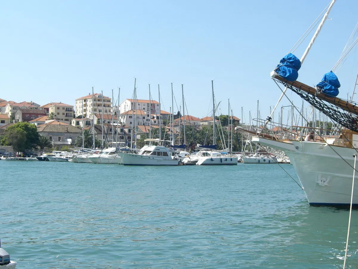
  • ACI Marina Trogir on the Čiovo shore seen across the channel from the Trogir Riva, yachts and motor boats along the pontoons, the bow of a moored tall ship at the rightACI Marina Trogir, Čiovo shore of the Trogir channel. Photo: “Trogir marina 053” by Ante Perkovic, CC BY 3.0, resized
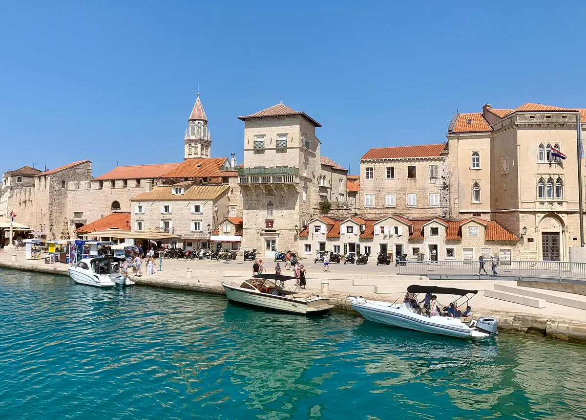
  • The old town waterfront of Trogir seen from the water, with small motorboats tied along the quay and turquoise water in front.Trogir, the old town waterfront (Riva). Photo: “Port of Trogir” by Dudva, CC0, resized
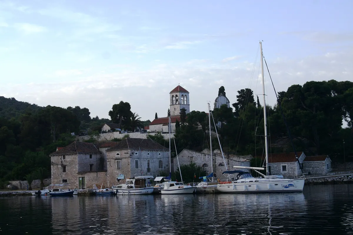
  • The harbour of Drvenik Veli seen from the water at dawn, yachts and local boats at the stone quay under the bell tower of St George's churchDrvenik Veli harbour, west of Trogir. Photo: “Isola di Drvenik Veli04” by b.roveran, CC BY 2.0, resized
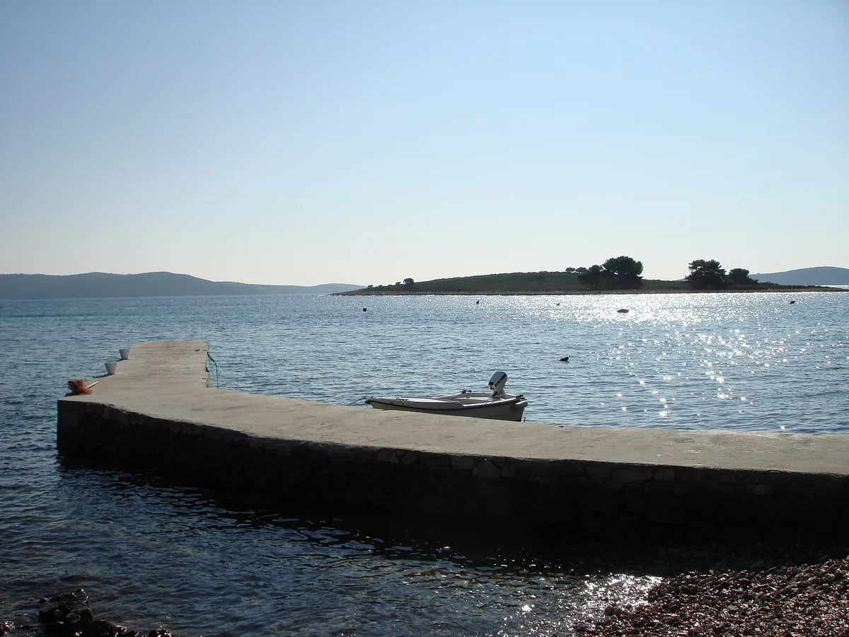
  • The islet of Veli Krknjaš seen across the calm water of the Blue Lagoon from a small pier at Krknjaši, with a dinghy tied alongsideThe Blue Lagoon (Krknjaši), between Drvenik Veli and Veli Krknjaš. Photo: “Veli Krknjaš - panoramio” by bruno.kostovic, CC BY 3.0, resized
  • Yachts moored on the pontoons of ACI Marina Dubrovnik at Komolac, with the steep wooded hillside of the Rijeka Dubrovačka behindACI Marina Dubrovnik, Komolac, on the Rijeka Dubrovačka. Photo: “ACI Marina Dubrovnik” by Bracodbk at Croatian Wikipedia, CC BY-SA 3.0, resized
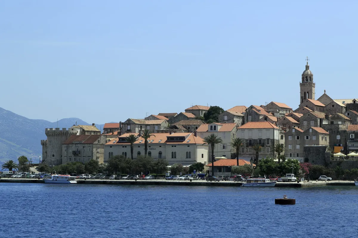
  • The old town of Korčula from the water, with stone houses, a round tower and the bell tower above the town quay, where boats are mooredKorčula old town, island of Korčula. Photo: “J36 046 Altstadthalbinsel” by Falk2, CC BY-SA 3.0 de, resized
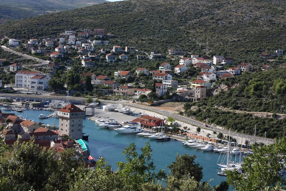
  • Marina Agana in Marina, west of Trogir, from the hill above: motor yachts and sailing yachts on the pontoons along the bay, the old tower on the waterfront and houses on the hillsideMarina Agana, Marina, west of Trogir. Photo: “Marina - Flickr - jns001 (2)” by János Tamás, CC BY 2.0, resized
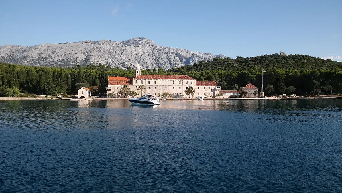
  • The Franciscan monastery on Badija seen from the water, its quay with a motorboat, pine woods behind and the mountains of Pelješac beyondBadija, off Korčula town. Photo: “Franciscan Monastery Badija 2016” by Ante Pletikosić, CC BY-SA 4.0, resized
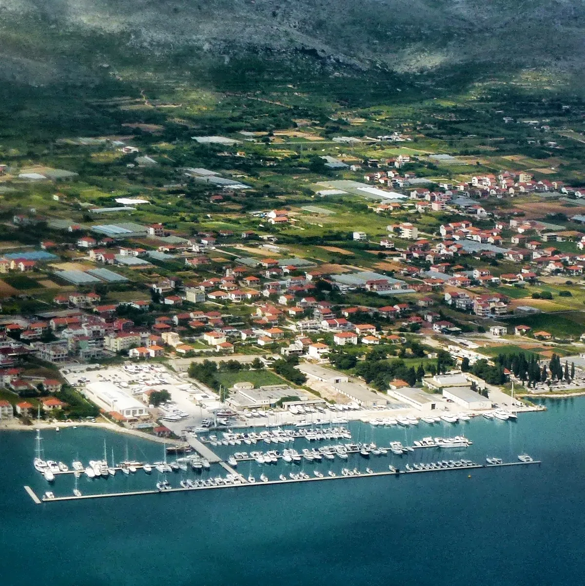
  • Marina Baotić at Seget Donji from the air: long pontoons full of yachts off the shore, the boatyard behind them and the village among fieldsMarina Baotić, Seget Donji, west of Trogir. Photo: “Yachtclub Seget, Croatia - panoramio” by Николай Максимович, CC BY 3.0, resized
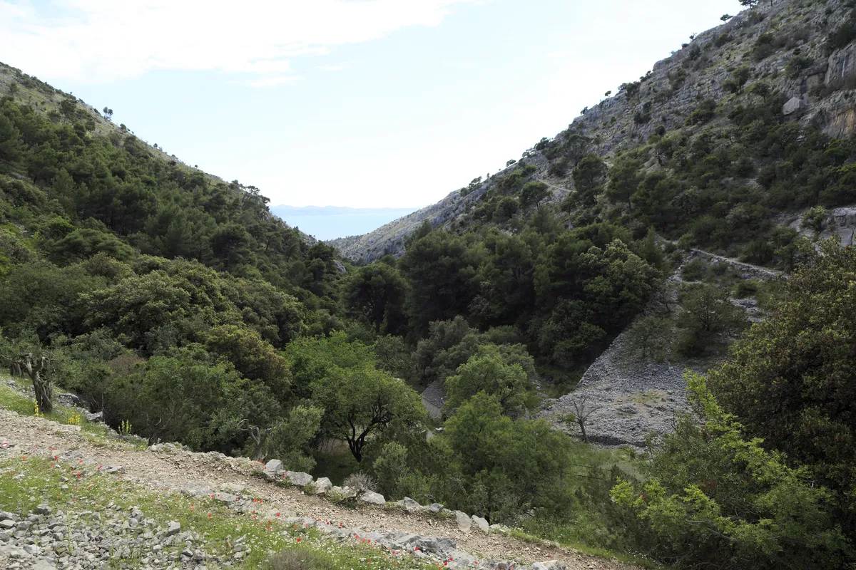
  • The green Blaca valley descending between steep limestone slopes toward a glimpse of the Adriatic SeaBlaca valley above Blaca bay, Brač. Photo: “J35 825 Dolina Blaca” by Falk2, CC BY-SA 3.0 DE, resized
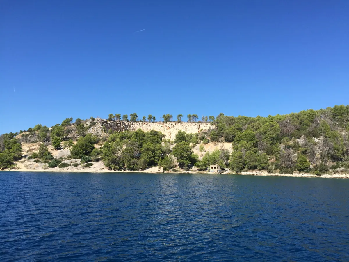
  • A shore of the outer bay at Bobovišća on Brač, seen from the water where the buoys lie: a pale old quarry face, pines and a small stone hut by the seaThe outer bay at Bobovišća, west coast of Brač. Photo: “Općina Milna, Croatia - panoramio (4)” by Luboš Holič, CC BY-SA 3.0, resized
  • Farska on the south coast of Brač seen from above, with stone houses among vines and pines beside the blue AdriaticFarska, south coast of Brač. Photo: “J32 644 Farska” by Falk2, CC BY-SA 4.0, resized
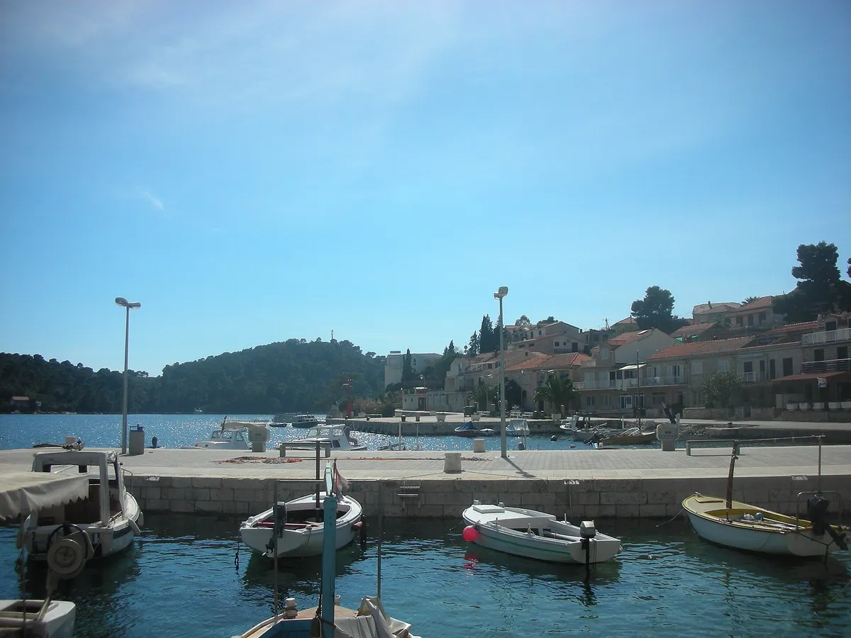
  • The harbour at Brna on Korčula, with small wooden and motor boats at a stone quay, a paved waterfront and houses along the shore, and a wooded headland across the bayBrna, south coast of Korčula. Photo: “Sunny Brna” by Muleni, CC0, resized
  • Jelsa on Hvar across its harbour: the stone waterfront with the church tower, boats at the quay and pine-covered hills behindJelsa harbour, north coast of Hvar. Photo: “Hvar Jelsa” by Juloml, CC BY-SA 3.0, resized
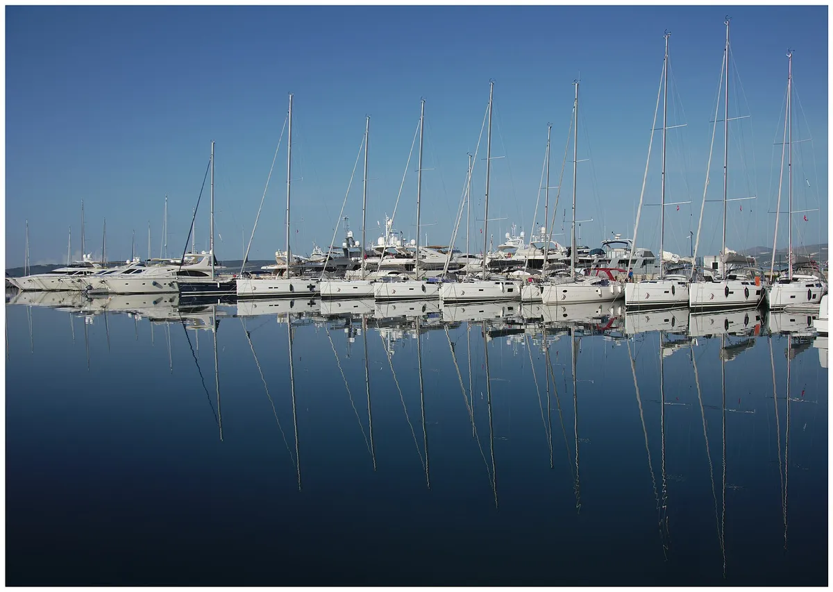
  • Rows of sailing yachts moored at Marina Kaštela in Kaštel Gomilica, their masts reflected in still water on a calm morningMarina Kaštela, Kaštel Gomilica, between Split and Trogir. Photo: “Marina Kaštela I” by Michael Staats from Duisburg, Germany, CC BY-SA 2.0, resized
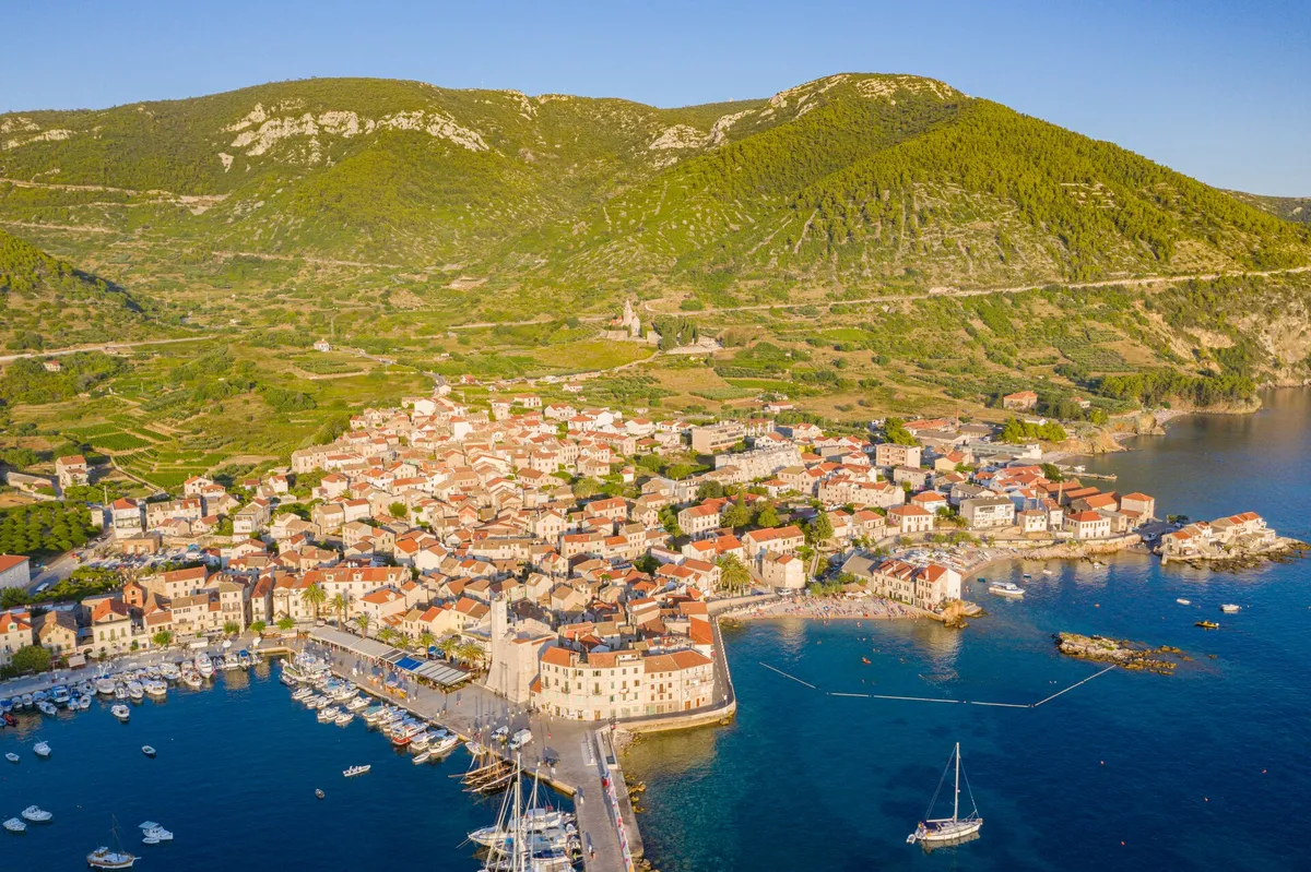
  • Aerial of Komiža harbour and town, yachts on the pier and at anchor, hills behindKomiža, island of Vis. Photo: “Aerial view of Komiza Town Harbour on Vis island, Croatia” by dronepicr, CC BY 2.0, resized
  • Komiža from the air on a summer evening, the harbour and its pier on the left and, right of the Kaštel, the cove of Lučica beach with its rocky islet, swimmers and a sailing yachtLučica, just south of Komiža harbour, Vis. Photo: “Aerial view of Lucica Beach in Komiza, Croatia” by dronepicr, CC BY 2.0, resized
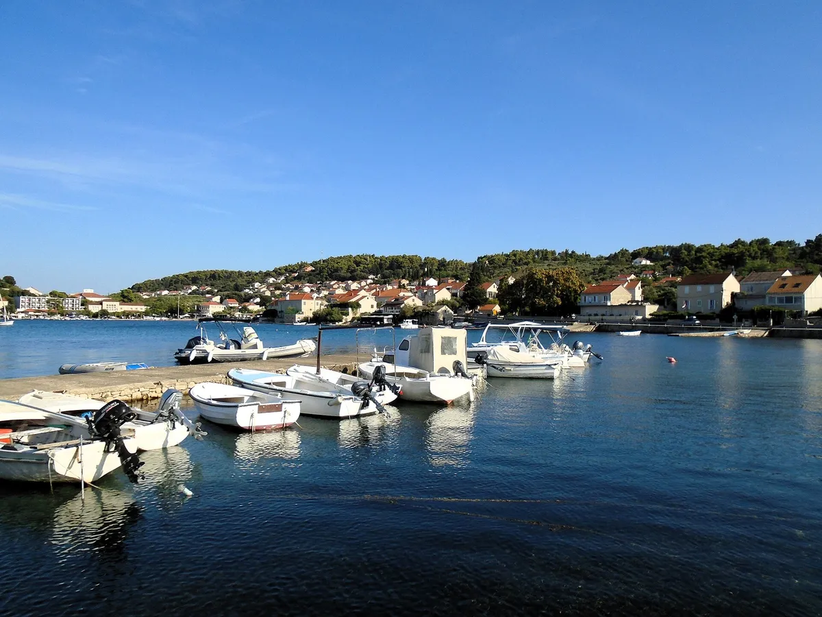
  • Lumbarda's harbour on a calm morning, with small motor boats tied to a stone pier, houses and pine woods on the hill behind, and a few yacht masts across the bayLumbarda, island of Korčula. Photo: “Lumbarda - luka” by Silverije, CC0, resized
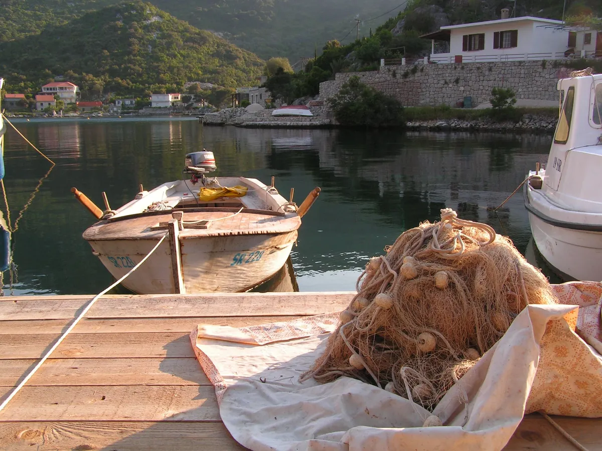
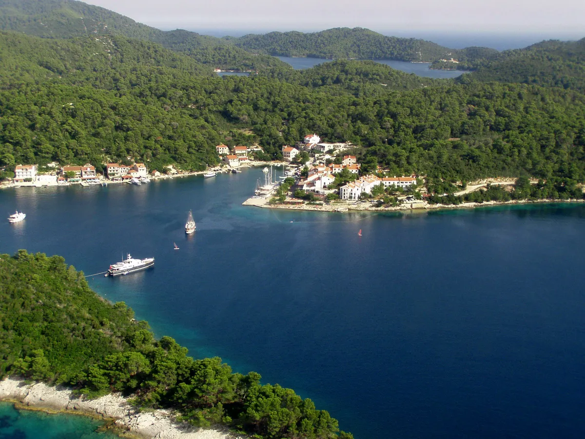
  • A wooden rowing boat and a fishing net on a jetty in Okuklje bay on Mljet, with the calm bay, the village houses and the wooded hills behind, in evening lightOkuklje, north coast of Mljet. Photo: “Okuklje” by Ylvo, CC BY-SA 3.0, resized
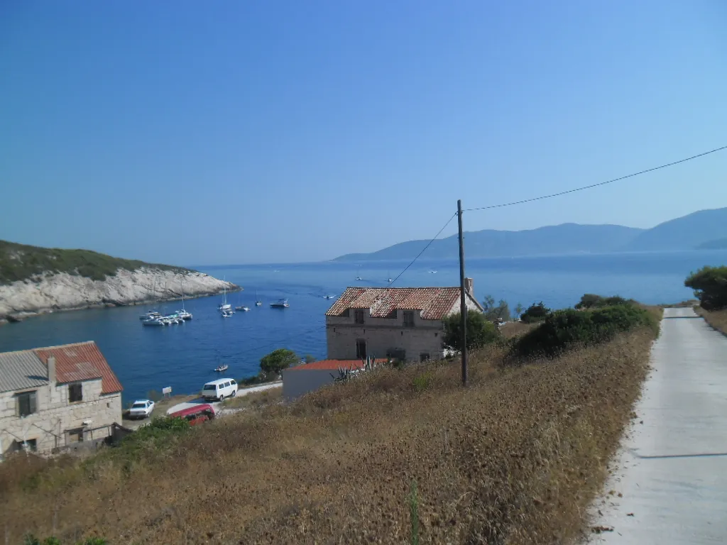
  • Mezuporat bay on Biševo from the road above, small boats and yachts moored in the blue bay below old stone houses, with Vis across the channelMezuporat, Biševo, off Komiža. Photo: “Biševo, u daljini Vis” by August Dominus, CC BY-SA 4.0, resized
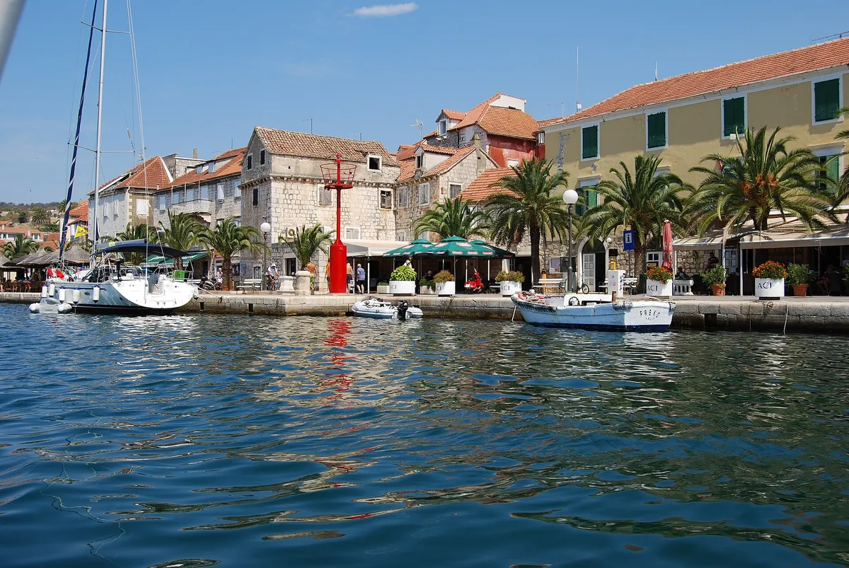
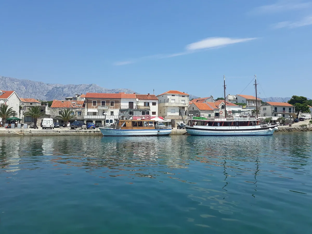
  • Milna waterfront seen from the water, stone houses, palms and yachts moored on the quayMilna, island of Brač. Photo: “Milna, kikötő - panoramio” by Sztudva Gyöngyi, CC BY-SA 3.0, resized
  • Clear shallow water over the pebbles of Mlini beach on Marinkovac, with yachts at anchor off the low wooded shore across the bayMlini bay, Marinkovac, Pakleni Islands. Photo: “Mlini beach - panoramio (2)” by Dejan Sekuloski, CC BY 3.0, resized
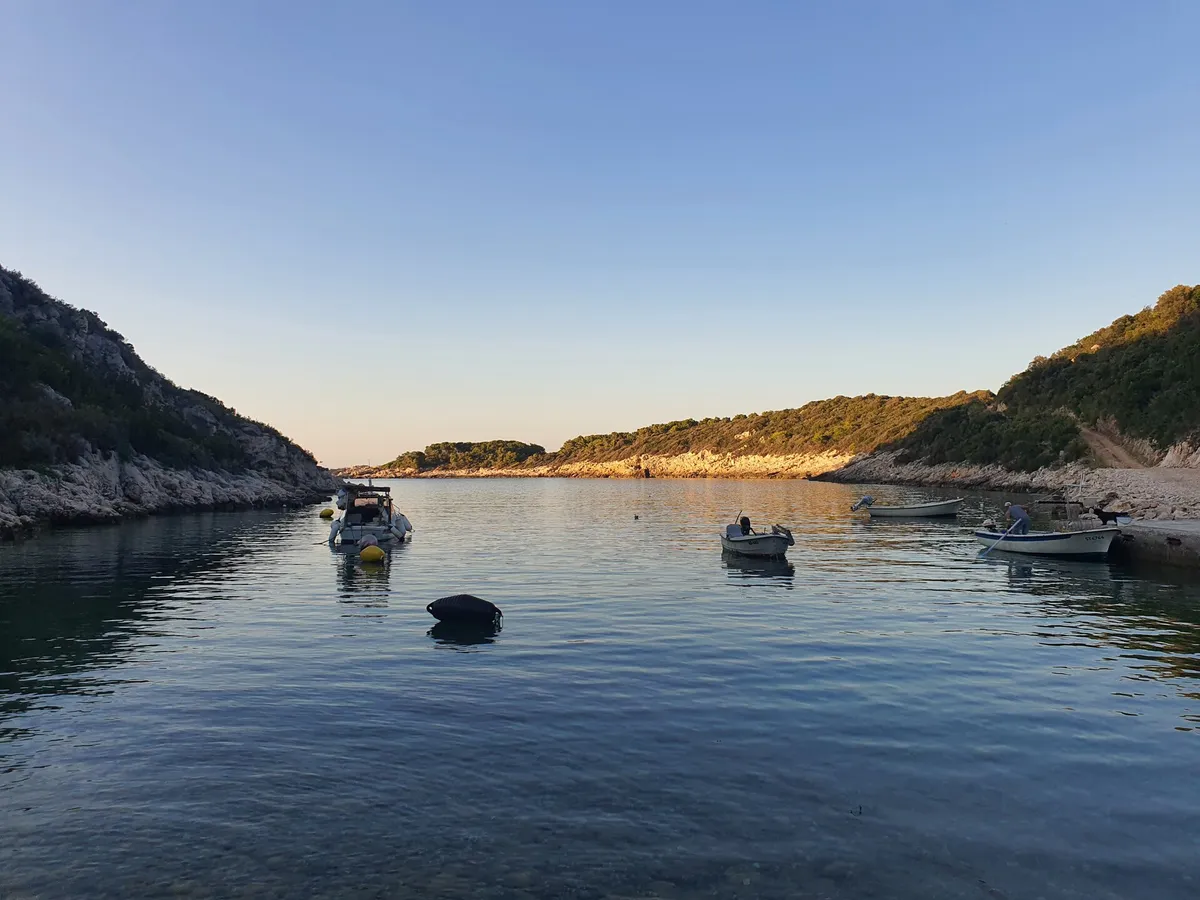
  • Oključna bay on Vis at dusk, small boats on their moorings in calm water between rocky wooded slopes, the evening sun on the far shoreOključna bay, north-west coast of Vis. Photo: “Uvala Oključna (Porat)” by Emaus78, CC BY-SA 4.0, resized
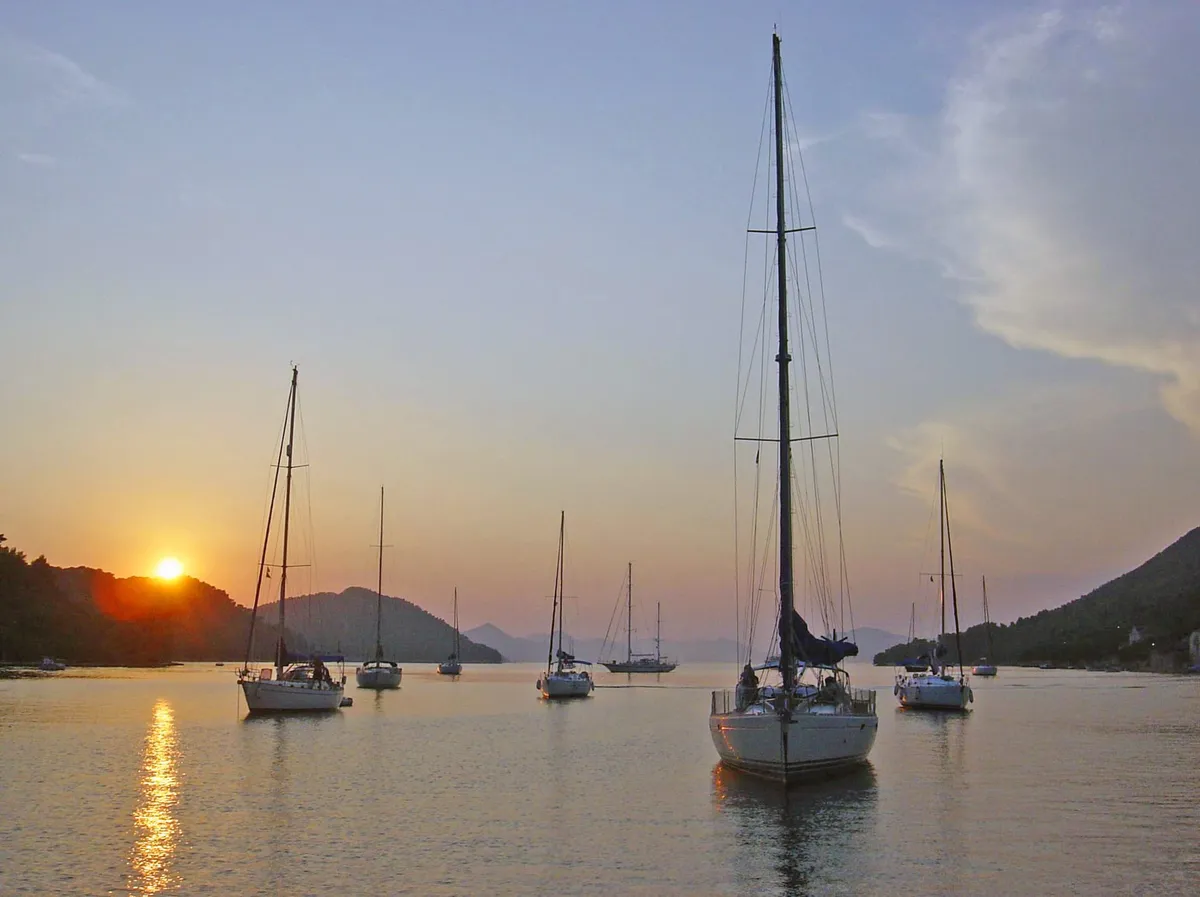
  • Yachts at their moorings in the bay at Pasadur on Lastovo on a calm evening, between wooded hillsPasadur, island of Lastovo. Photo: “Pasadur, Croatia - panoramio” by Aleksandar Topuzović, CC BY 3.0, resized
  • Polače on Mljet from the air, with yachts moored along the quay below the pine-covered hill, and sailing yachts and a catamaran at anchor in the bayPolače, island of Mljet. Photo: “Blick auf den Hafen Polace auf Mljet, Kroatien” by dronepicr, CC BY 2.0, resized
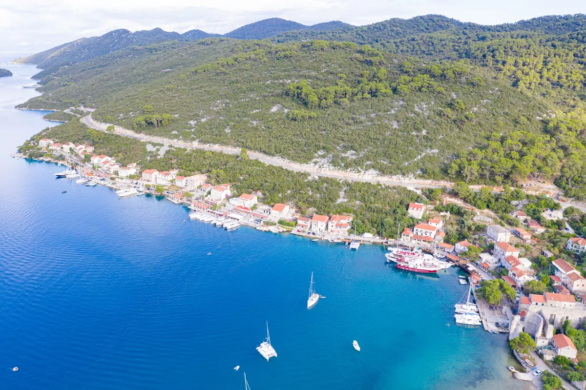
  • Pomena harbour on Mljet from above, with the village and its quay on the point, a gulet and a motor yacht at anchor and pine forest all aroundPomena, island of Mljet. Photo: “Pomena” by Jaganjac, CC BY-SA 3.0, resized
  • Prožurska Luka on Mljet from the hillside, with yachts on buoys in the bay, the village on its point and Planjak islet beyondProžurska Luka, north coast of Mljet. Photo: “Prozurska luka” by Enzyklofant, CC BY-SA 3.0, resized
  • The sandy beach at Saplunara on Mljet, with a yacht at anchor in the clear bay between two wooded headlandsSaplunara, south-east tip of Mljet. Photo: “Saplunara (Mljet)” by August Dominus, CC BY-SA 3.0, resized
  • Mostir bay on Šćedro: small boats at a stone pier by the pebble beach, a yacht moored in the bay and the hills of Hvar across the channelMostir bay, island of Šćedro, south of Hvar. Photo: “Mostir, Šćedro 20220726 15” by Argo Navis, CC BY-SA 4.0, resized
  • Sailing yachts at anchor in the bay of Šipanska Luka at sunset, with wooded hills on both sides and the sun low over the ridgeŠipanska Luka, island of Šipan. Photo: “Šipanska Luka, Elaphiti Islands, Croatia” by Charles J. Sharp, CC BY-SA 4.0, resized
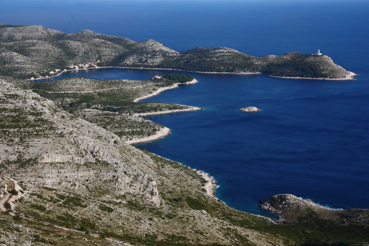
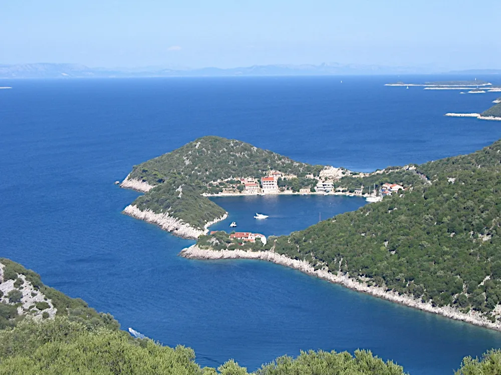
  • Skrivena Luka on the south coast of Lastovo from the hills above, a long blue bay between bare stony slopes, with the Struga lighthouse on the headlandSkrivena Luka, south coast of Lastovo. Photo: “Skrivena luka, Lastovo” by Dijana Župan, CC BY-SA 4.0, resized
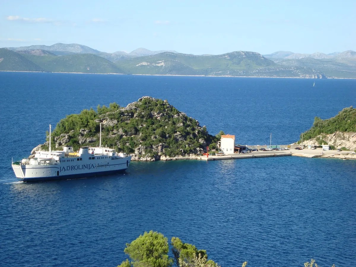
  • A Jadrolinija ferry arriving at the ferry port in Zaglavac bay by Sobra on Mljet, below a wooded islet, with Pelješac across the channelZaglavac bay, the port of Sobra, Mljet. Photo: “Zaglavac” by Jaganjac, CC BY-SA 3.0, resized
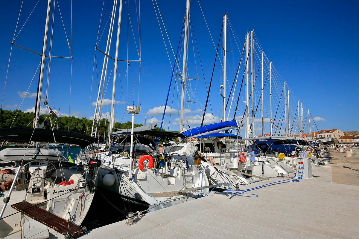
  • Visiting yachts moored stern-to along the town quay in Stari Grad, their passerelles down onto the stone quay, with the water and power posts along its edgeStari Grad town quay, Hvar. Photo: “Yacht Line Up, Stari Grad - Hvar Island” by Alex Proimos from Sydney, Australia, CC BY 2.0, resized
  • Sailing yachts anchored off the mouth of Stiniva cove, aerial with open sea and horizonStiniva Bay, south coast of Vis. Photo: “Aerial view of the Adriatic Sea at Stiniva Bay on Vis island in Croatia” by dronepicr, CC BY 2.0, resized
  • Sućuraj harbour on Hvar from across the water, with an excursion boat and a gulet moored at the stone quay, red-roofed houses behind and the Biokovo mountains on the mainlandSućuraj harbour, island of Hvar. Photo: “Port of Sućuraj, island of Hvar 20210724 09” by Argo Navis, CC BY-SA 4.0, resized
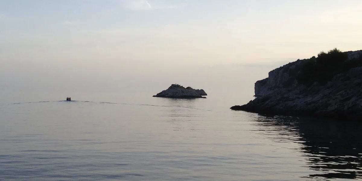
  • The mouth of Tatinja bay on Šolta at dusk: the Veli Školj rock in a flat calm sea, a small boat heading out and the rocky headland on the rightTatinja bay, south coast of Šolta. Photo: “Veli Školj, Tatinja, Šolta” by Luboš Holič, CC BY-SA 3.0, resized
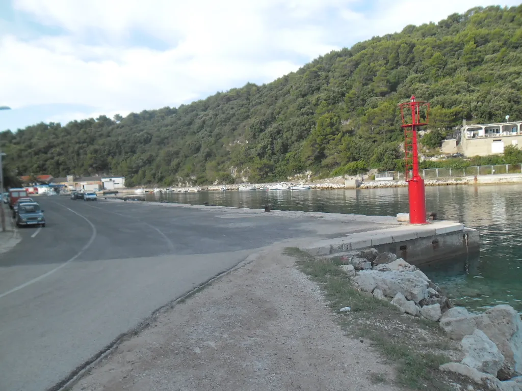
  • The ferry port of Ubli on Lastovo: the concrete quay with its red harbour light, calm water and wooded hills behindUbli, island of Lastovo. Photo: “Trajektna luka Ubli” by August Dominus, CC BY-SA 3.0, resized
  • Vejo Lago on Lastovo from Jurjev vrh: a long blue bay between wooded hills, with a small islet, yachts at their moorings and Pasadur on its shoreVejo Lago and Pasadur, island of Lastovo. Photo: “Pasadur” by August Dominus, CC BY-SA 3.0, resized
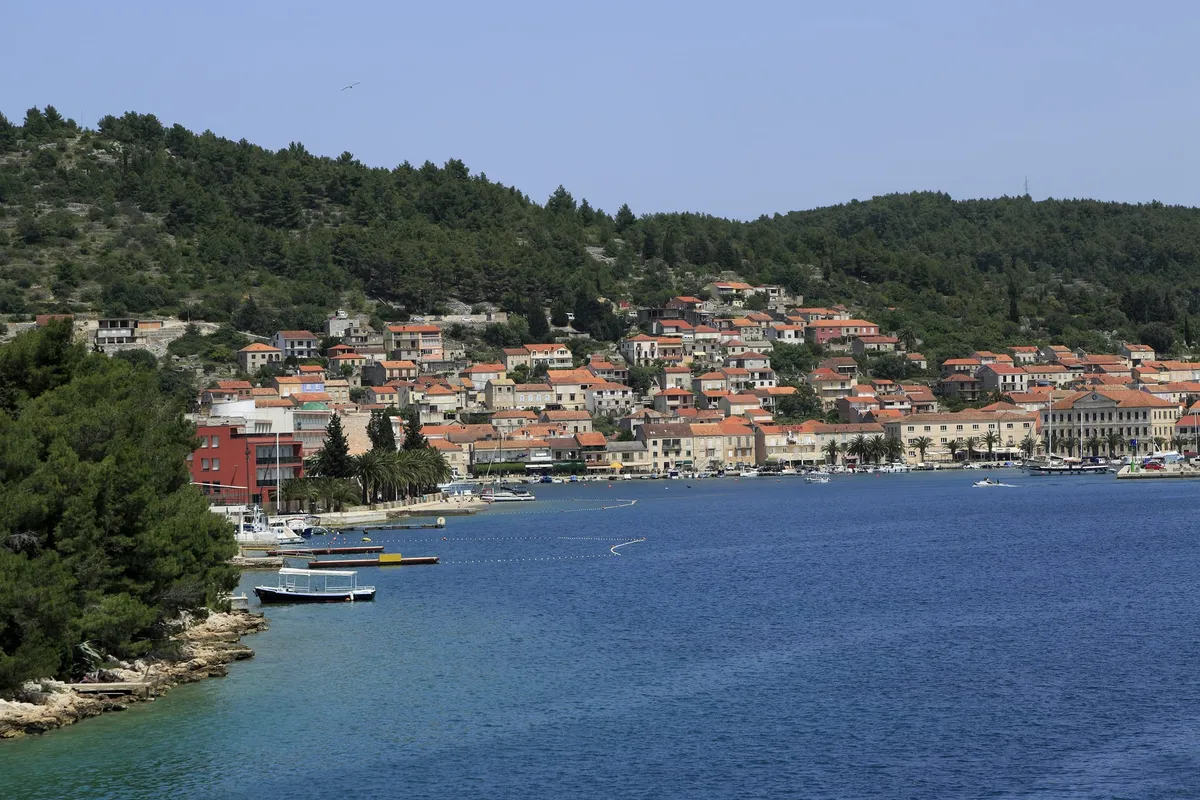
  • Vela Luka seen from the water, with stone houses and orange roofs along the waterfront under a wooded hill, and a few small boats moored at the shoreVela Luka, island of Korčula. Photo: “J36 120 Vela Luka” by Falk2, CC BY-SA 3.0 de, resized
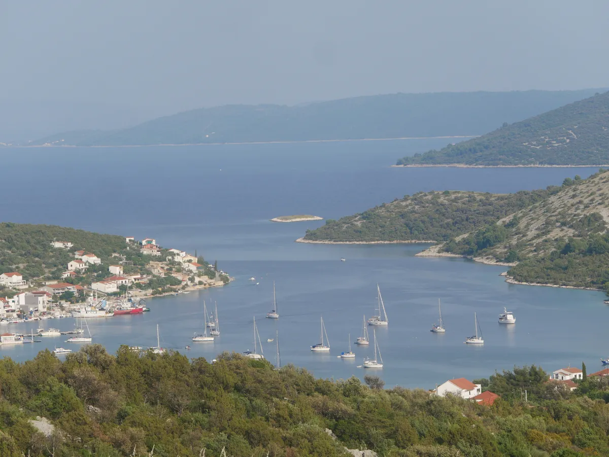
  • Vinišće bay seen from the hillside, with yachts at anchor, the village waterfront and wooded headlands around the inletVinišće bay, near Trogir. Photo: “View-of-Vinisce” by Zvone00, CC BY-SA 4.0, resized
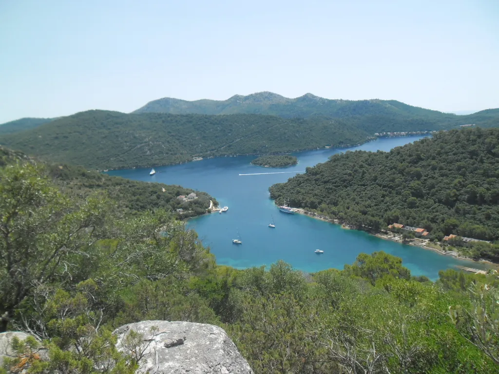
  • Zaklopatica bay on Lastovo from the hillside above, with the village and its quay on a wooded point and a few boats in the sheltered bayZaklopatica, island of Lastovo. Photo: “Zaklopatica bay - panoramio” by Aleksandar Topuzović, CC BY 3.0, resized
  • Aerial of Zlatni rat beach at Bol with Vidova Gora mountain behindBol, island of Brač. Photo: “Luftbild vom Strand Zlatni rat mit Blick auf den Berg Vidova Gora in Bol, Kroatien” by dronepicr, CC BY 2.0, resized
The list of places