Skip to content
OlaSailSearch
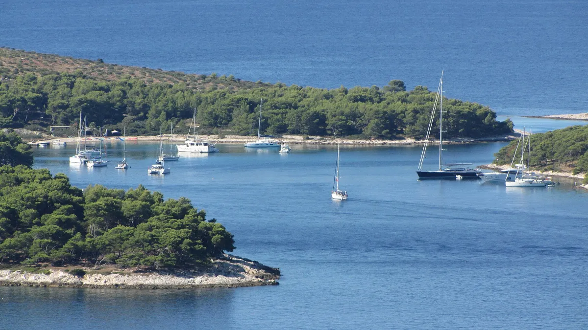
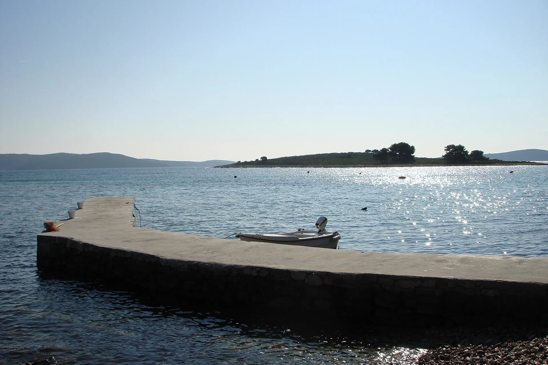
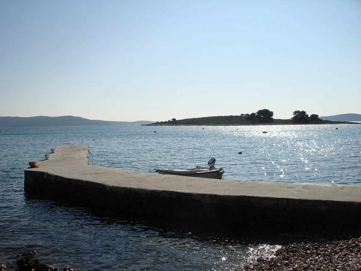
The islet of Veli Krknjaš seen across the calm water of the Blue Lagoon from a small pier at Krknjaši, with a dinghy tied alongsidePhoto: “Veli Krknjaš - panoramio” by bruno.kostovic, CC BY 3.0, cropped and resized

Swim stop and anchorage, west of Trogir

The Blue Lagoon, Drvenik Veli, by boat

The Blue Lagoon is Krknjaš bay, the shallow water between Drvenik Veli and the islet of Krknjaš Veli, 7 NM (Measured by us, ) west of Trogir. Come in from the south-east, anchor on sand clear of the seagrass and the marked cable to Šolta, and go early: tour boats from Trogir and Split anchor there too in summer.

7 NMfrom Trogir, about 1 h (Measured by us, )
12.5 NMfrom Split (Measured by us, )
3 NMfrom Maslinica (Measured by us, )
5.5 NMfrom Drvenik Veli harbour (Measured by us, )
Not for navigation

All 26 facts on this page name their source, the latest checked on : 1 from the operator, 18 from official sources, 5 measured by us and 1 from a third-party source, such as a pilot book or a magazine, so treat that one as a guide. The sources disagree on one: shelter.

See every source

Written by Domagoj Franc, editor. Reviewed by Ivor Benko, skipper.

Published .

Boat access and anchoring in the Blue Lagoon

Can you anchor in the Blue Lagoon? Yes, on sand, clear of the seagrass, the cable and the swimmers. (Official source, )

Where it is
The lagoon is Krknjaš bay, on the east coast of Drvenik Veli, sheltered by the islets of Krknjaš Veli and Krknjaš Mali. It opens to the south-east. (Official source, ) Not the lagoon at Budikovac off Vis, which is also called the Blue Lagoon: that one is on Budikovac and the Green Cave.
Getting in
Drvenik Veli is joined to the Krknjaš islets by an underwater reef, so there is no way through to the north. The passage between Drvenik Veli and Krknjaš Veli is not navigable, and the gap between the two islets is shallow over rock. (Official source, )A shoal 11.5 m deep lies 0.6 NM east-south-east of Krknjaš Veli, marked by a lit isolated-danger buoy. (Official source, )
Anchoring
Shallow and mostly sand, with seagrass meadows that make islands in the shallower parts. On the sand from 9 m to 17 m deep lies a thick layer of torn-off seagrass. (Official source, )An underwater cable runs from the bay to Šipkova bay on Šolta, marked by a no-anchoring sign. (Official source, ) Keep your swinging circle clear of underwater cables, pipes and outfalls (Article 53). (Official source, )
Buoys
In 2020 the county listed an anchorage at Krknjaši among the concessions it planned to grant. (Official source, )Private buoys in summer: unknown. Tell us about the buoys in the Blue LagoonIn 2019 the study proposed two buoy fields, one in the north of the bay and one in the east, clear of the cable, and marked buoys for tour boats over 20 m. (Official source, )
Ashore
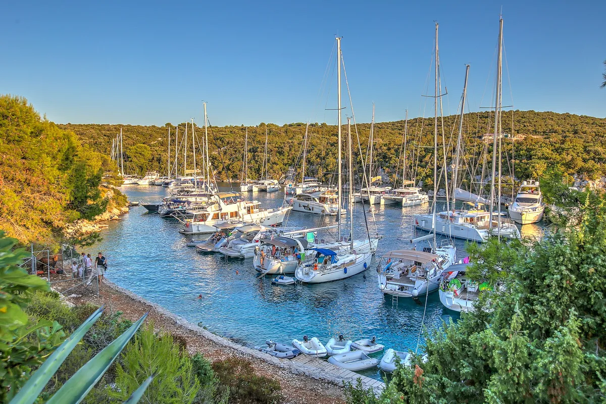
A few small jetties belonging to local people line the Drvenik Veli shore, and one larger jetty belongs to a restaurant. (Official source, ) The beach is at the head of the bay, on the Drvenik Veli side.

The rules in the Blue Lagoon

Anchor on sand, away from the beach and the cable. The bay's seagrass is protected, and part of it is a Natura 2000 site.

The beach
No anchoring within 150 m of a natural beach, under the 2025 ordinance. (Official source, ) Anchoring near beaches
Near swimmers
Under way, keep clear of an organised beach's rope line: at least 50 m in a boat under 15 m, 100 m in a boat of 15 to 30 m, and 300 m at 30 m and over (Article 49). (Official source, ) Rope lines and lines ashore
The cable
Keep your swinging circle clear of underwater cables, pipes and outfalls (Article 53). (Official source, ) Where anchoring is forbidden
Seagrass
Seagrass (Posidonia) is a strictly protected species in Croatia, and anchoring in its meadows badly damages it. Drop the anchor on sand. (Official source, )The north-east of the bay is part of the Natura 2000 site Krknjaši (HR3000109), kept for its seagrass meadows and reefs. (Official source, )

Wind and sea in the Blue Lagoon

NNEESESSWWNW

Settled weather only. Leave if a bura, a jugo or any southerly is forecast. The county's 2019 study calls Krknjaši open to the bura, which can make the sea rough, while its 2024 anchorage plan calls it suitable in a bura and westerly winds; both say southerly and south-easterly winds raise waves. The tidal current runs at up to 0.3 knots, and up to 1.2 knots in a storm bura or jugo. (Sources disagree, )

OpenPartly openShelteredWedges show where the wind blows from

Plan B. If a bura or a jugo is forecast, make it a short morning swim and spend the night in a harbour. Marina Martinis Marchi in Maslinica is 3 NM (Measured by us, ) away. Our guide to the winds explains the bura and the jugo.

Wind and sea, next 3 days

In the Blue Lagoon, between Drvenik Veli and Krknjaš Veli.

Model forecast from Open-Meteo.Not an official forecast. Not for navigation.

Official forecast: DHMZ marine forecast (Official source, )

How to read this forecast

Each part of the day shows its strongest hourly wind and gust, and its highest wave, in Croatian time. The words follow the Beaufort scale, and the model can't tell a real bura from any other northeast wind. How to read a model forecast

Weather data by Open-Meteo.com, CC BY 4.0. Grouped into parts of the day by OlaSail.

When to go to the Blue Lagoon

Early in the morning, or after the day boats leave. The bay is a favourite anchorage and swimming spot, and tour boats over 20 m anchor there often in season. (Official source, )

Day boats
The bay is a favourite anchorage and swimming spot, and tour boats over 20 m anchor there often in season. (Official source, )
From Trogir
About 7 NM from Trogir to the Blue Lagoon, between Drvenik Veli and Krknjaš, about 1 h at 6 knots. (Measured by us, ) Leave by 8 am to be there before the day boats.
On our routes
The Blue Lagoon is the morning swim on day 2 of An easy first week from Trogir, on the way from Drvenik Veli to Maslinica.About 3 NM from Maslinica on Šolta, the first night of our week from Split. (Measured by us, ) Day 1 of Seven days from Split

Where to spend the night near the Blue Lagoon

Distances by sea from the Blue Lagoon, measured with our route tool and rounded (Measured by us, ). Times at 6 knots, or at your own speed if you set one on the route page.

Not for navigation
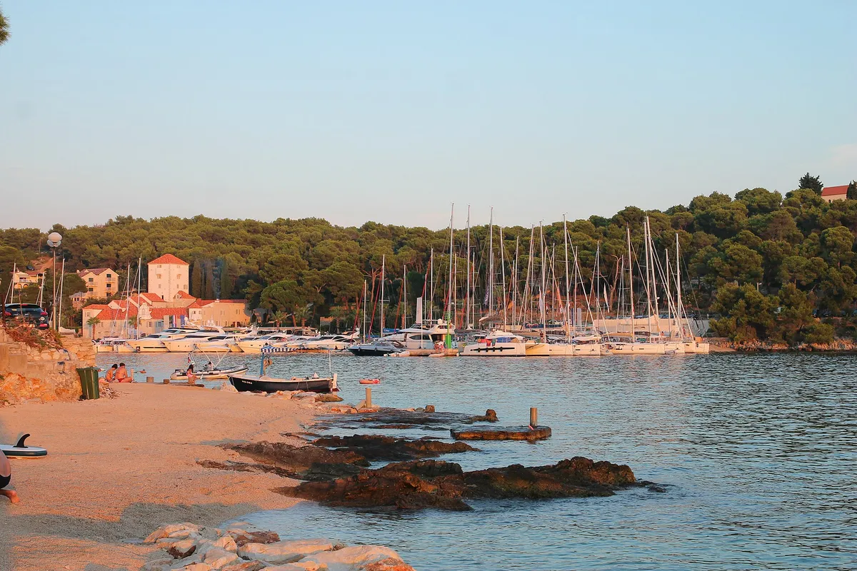
The marina in Maslinica bay on Šolta, with yachts on the pontoons, the old castle and a small beach in front.Photo: “Maslinica, marina s tvrzí 01” by Draceane, CC BY-SA 4.0, resized

Marina Martinis Marchi, Maslinica

Maslinica is sheltered from all winds, but north-westerlies and westerlies raise a chop. Our cautious answer: in a strong westerly or maestral expect movement on the outer berths, and don't take the shallow passages between the islets in a jugo. Our skipper reviewer hasn't checked this yet. (Third-party source, ) €135 a day for a 12 m boat in July and August 2026, plus €10 for water and power. VAT is included and the tourist tax is extra. (From the operator, )

3 NM (Measured by us, )about ½ h
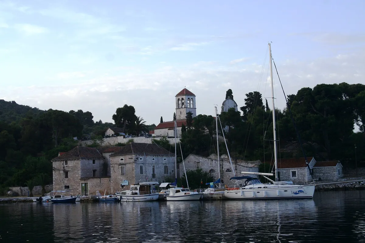
The harbour of Drvenik Veli seen from the water at dawn, yachts and local boats at the stone quay under the bell tower of St George's churchPhoto: “Isola di Drvenik Veli04” by b.roveran, CC BY 2.0, resized

Drvenik Veli harbour

€36 a night on the quay for a 12 m boat: €3 a metre in a class III county port. (Official source, ) The port authority lists nothing for visiting boats here: it says repairs and any other boat needs can only be met on the mainland. The village has a shop and a post office. (Official source, )

5.5 NM (Measured by us, )about 1 h, round the north
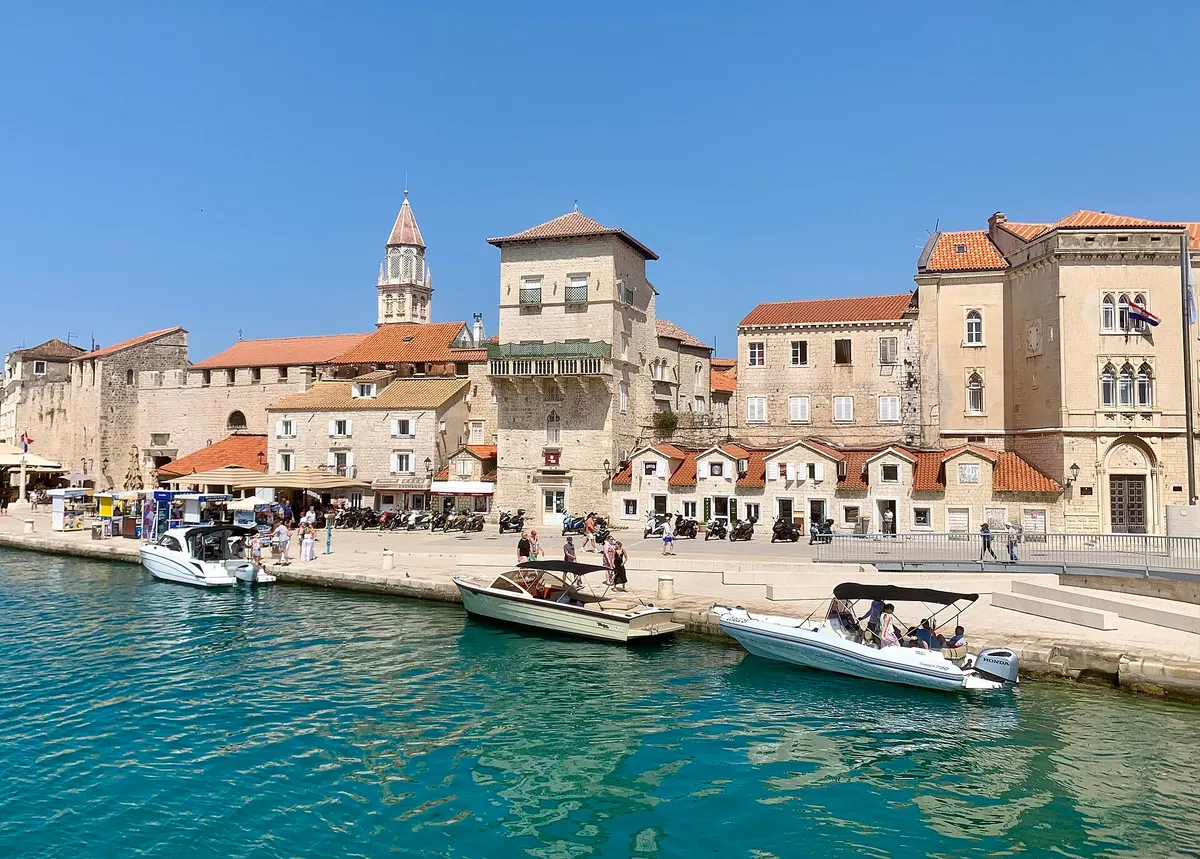
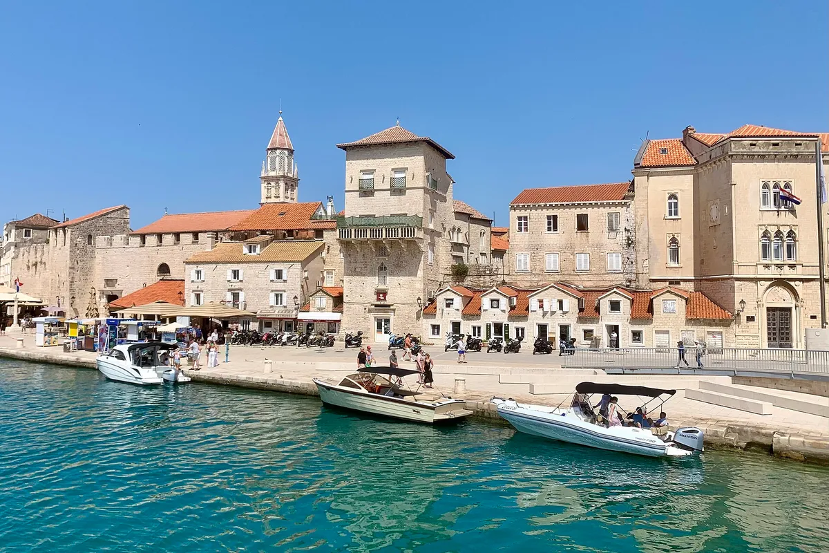
The old town waterfront of Trogir seen from the water, with small motorboats tied along the quay and turquoise water in front.Photo: “Port of Trogir” by Dudva, CC0, cropped and resized

Trogir

Two marinas and the town quay, close to Split Airport. The town quay along the Riva is a class I.B county port: €5 a metre a day for a boat of 10.01 to 15 m, so €60 for a 12 m boat, all year. (Official source, )

7 NM (Measured by us, )about 1 h

What sailors told us

From sailors after a night here. They tell us what to check next, and don't count in the checks above.

Drvenik Veli harbour

With no wind on 28 Sep 2026, a crew motored to Drvenik Veli, anchored there for the night and planned the next day's run to Vis.

A first-time sole skipper on a 38 ft charter yacht, Sep 2026u/Zelimex on Reddit · Posted · Retold in our words · Account not independently verified · Read the post

Help keep this page right

Sailed here this season? Tell us what you found. We check it with the source before anything changes.

Or confirm one fact: tap the small mark after it, then "Yes, I saw it".

Other ways to help

Photos on this page

  • The islet of Veli Krknjaš seen across the calm water of the Blue Lagoon from a small pier at Krknjaši, with a dinghy tied alongsideThe Blue Lagoon (Krknjaši), between Drvenik Veli and Veli Krknjaš. Photo: “Veli Krknjaš - panoramio” by bruno.kostovic, CC BY 3.0, cropped and resized
  • The marina in Maslinica bay on Šolta, with yachts on the pontoons, the old castle and a small beach in front.Maslinica, Šolta, the marina and castle. Photo: “Maslinica, marina s tvrzí 01” by Draceane, CC BY-SA 4.0, resized
  • The harbour of Drvenik Veli seen from the water at dawn, yachts and local boats at the stone quay under the bell tower of St George's churchDrvenik Veli harbour, west of Trogir. Photo: “Isola di Drvenik Veli04” by b.roveran, CC BY 2.0, resized
  • The old town waterfront of Trogir seen from the water, with small motorboats tied along the quay and turquoise water in front.Trogir, the old town waterfront (Riva). Photo: “Port of Trogir” by Dudva, CC0, cropped and resized
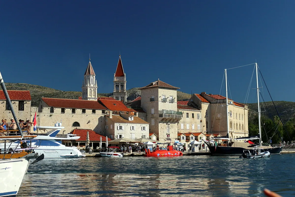
  • Trogir old town seen from a boat in the channel, with the cathedral and church towers, yachts and a gulet along the Riva.Trogir, the old town from the channel. Photo: “Trogir panorama města z lodi 1” by VitVit, CC BY-SA 4.0, cropped and resized
  • Yachts moored close together in the narrow Šešula bay beside Maslinica, late lightUvala Šešula, next to Maslinica, island of Šolta. Photo: “Šolta Maslinica Hrvatska Uvala Šešula 2019 08a” by Joadl, CC BY-SA 3.0 AT, cropped and resized
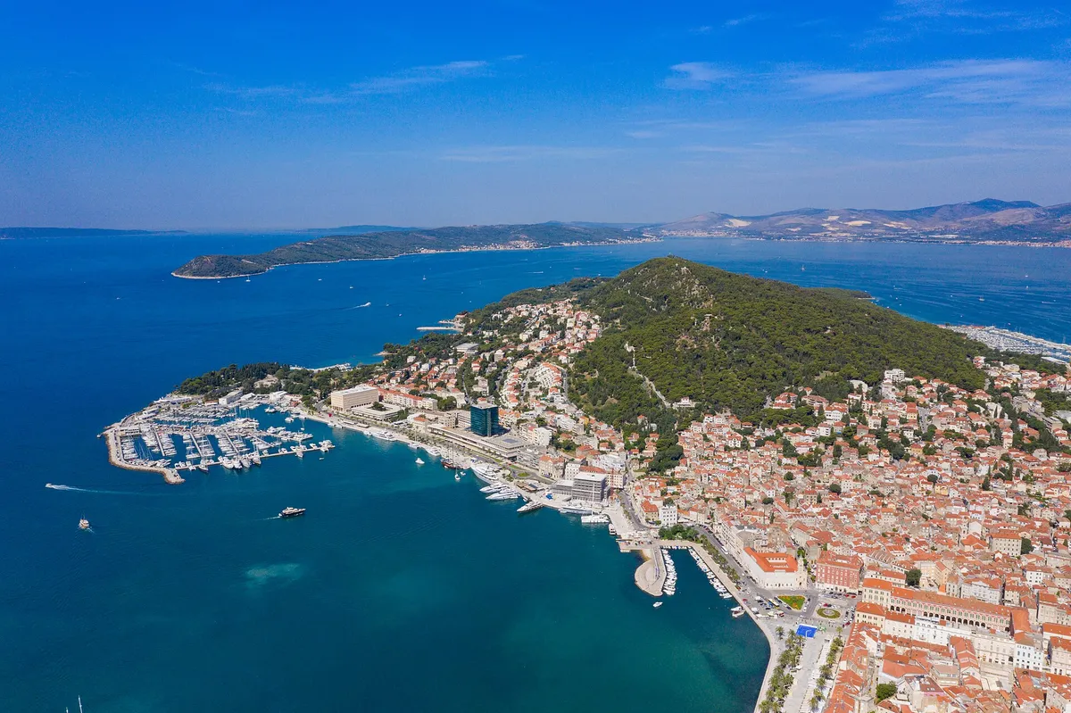
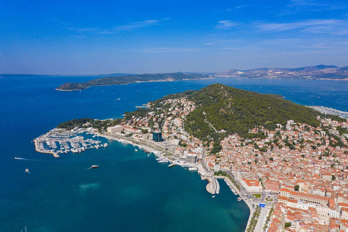
  • Aerial of Split with ACI Marina Split, Marjan hill, the Riva and the islands beyondSplit. Photo: “Aerial view of Marina Split in Croatia” by dronepicr, CC BY 2.0, cropped and resized

Nearby

7 NM (Measured by us, )from Trogir

Open in a map app