Skip to content
OlaSailSearch
Old town and charter bases, west of Split

Trogir and Čiovo for sailors

Trogir is an old town on a small island between the mainland and Čiovo. Two marinas face it across a narrow channel with a strong current, and most boats come and go from the west.

6 kmairport to Trogir (From the operator, )
9 NMfrom Trogir (Measured by us, )
14 NMbetween Split and Trogir, round Čiovo (Measured by us, )
2.8 mclearance under the old bridge (From the operator, )
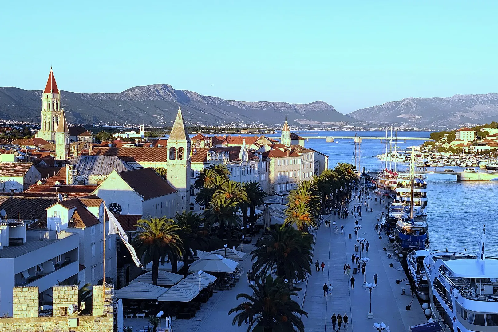
Trogir's Riva from the Kamerlengo fortress, with palms, excursion boats and yachts along the quay and the Čiovo bridge behind.Photo: “Trogir Panorama 01” by Helmlechner, CC0, cropped and resized
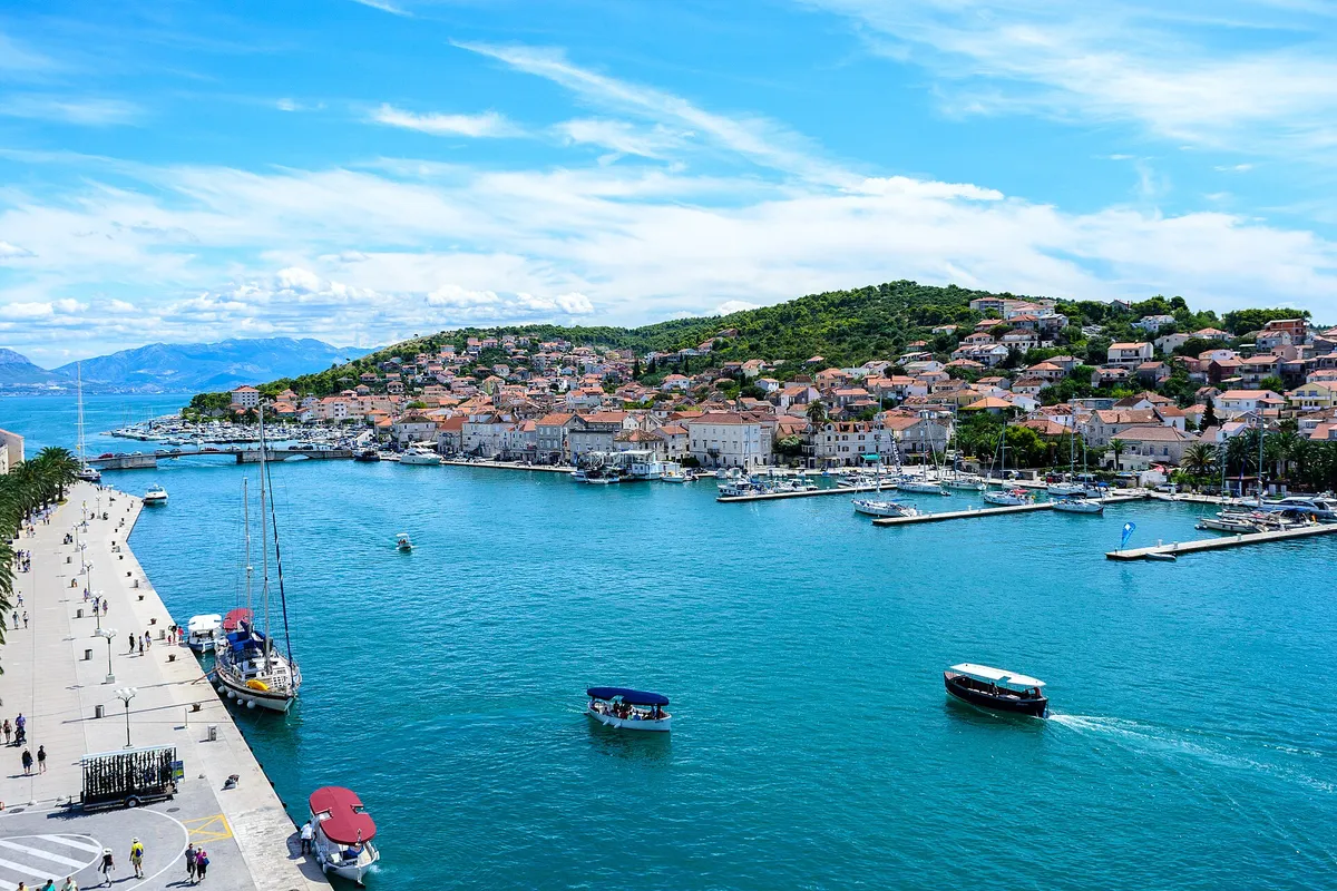
The Trogir channel from the Kamerlengo fortress, with a yacht on the Riva quay, water taxis crossing and the marina pontoons on the Čiovo shore where ACI Marina Trogir lies.Photo: “Trogir” by Nick Savchenko from Kiev, Ukraine, CC BY-SA 2.0, resized
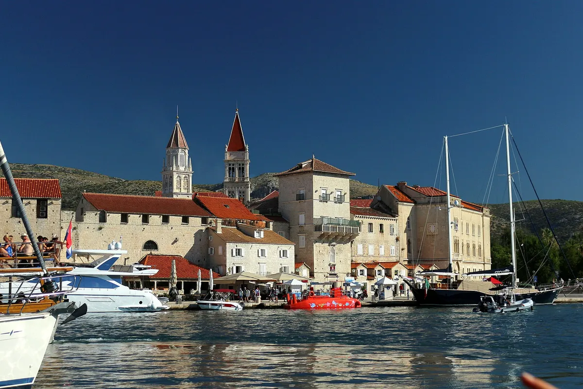
Trogir old town seen from a boat in the channel, with the cathedral and church towers, yachts and a gulet along the Riva.Photo: “Trogir panorama města z lodi 1” by VitVit, CC BY-SA 4.0, cropped and resized

Written by Domagoj Franc, editor. Reviewed by Ivor Benko, skipper.

Published .

All 63 facts on this page name their source, the latest checked on : 24 from the operator, 22 from official sources, 7 measured by us and 8 from third-party sources, such as pilot books and magazines, so treat those 8 as a guide. The sources disagree on 2: the bridges east of the marina and shelter at the Blue Lagoon.

See every source

Trogir has no area steward yet. Sail here every season? Become the area steward.

Marinas, the town quay and an anchorage

Places to start, end or spend a night. Prices are per day for a 12 m boat in July 2026, from each operator's own list or the port authority's rules. The channel and its bridges

Open to wind and swellSome swellShelteredNorth is up
Not for navigation

Every place to stay near Trogir, at a glance

The price of a night for a 12 m monohull in July 2026, from each operator's own list or the port authority's rules, and who to call.

PlaceKindA night, 12 m boatContact
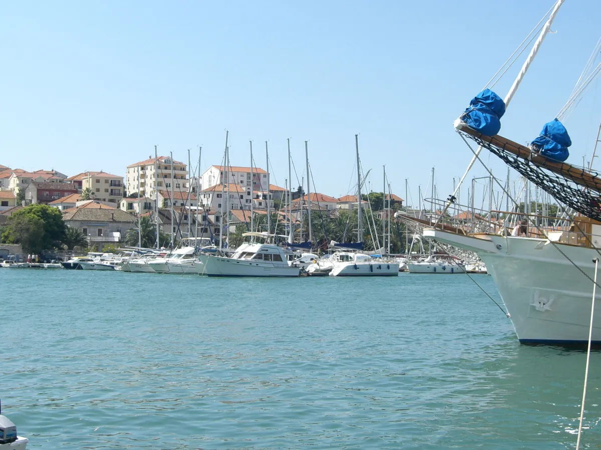
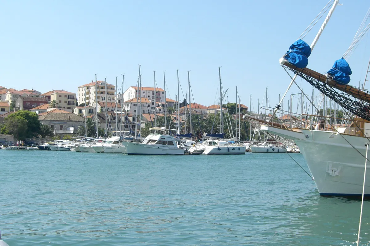
ACI Marina Trogir on the Čiovo shore seen across the channel from the Trogir Riva, yachts and motor boats along the pontoons, the bow of a moored tall ship at the rightACI Marina TrogirMarina, run by ACI 161 berths (From the operator, )€150 a day in July, 12 m boat (From the operator, )VHF channel 17 (From the operator, )
SCT Marina Trogir on a mapSCT Marina TrogirMarina 232 berths (From the operator, )€120 a day in July, 12 m boat (From the operator, )VHF channel 17 (From the operator, )
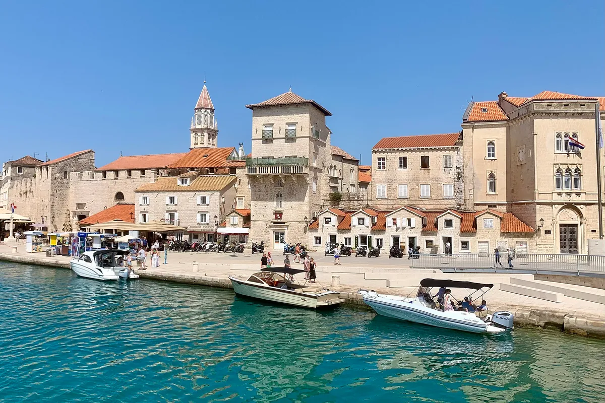
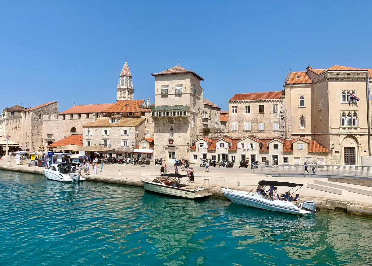
The old town waterfront of Trogir seen from the water, with small motorboats tied along the quay and turquoise water in front.Trogir town quay, the RivaCounty port, class I.B€60 a day on the town quay, 12 m boat (Official source, )+385 91 123 4987 (Official source, )
The old town waterfront of Trogir seen from the water, with small motorboats tied along the quay and turquoise water in front.Trogir Banj, on ČiovoPort with its own price list€54 a day at Banj, 11 to 12 m boat (Official source, )Not listed yet (Official source, )
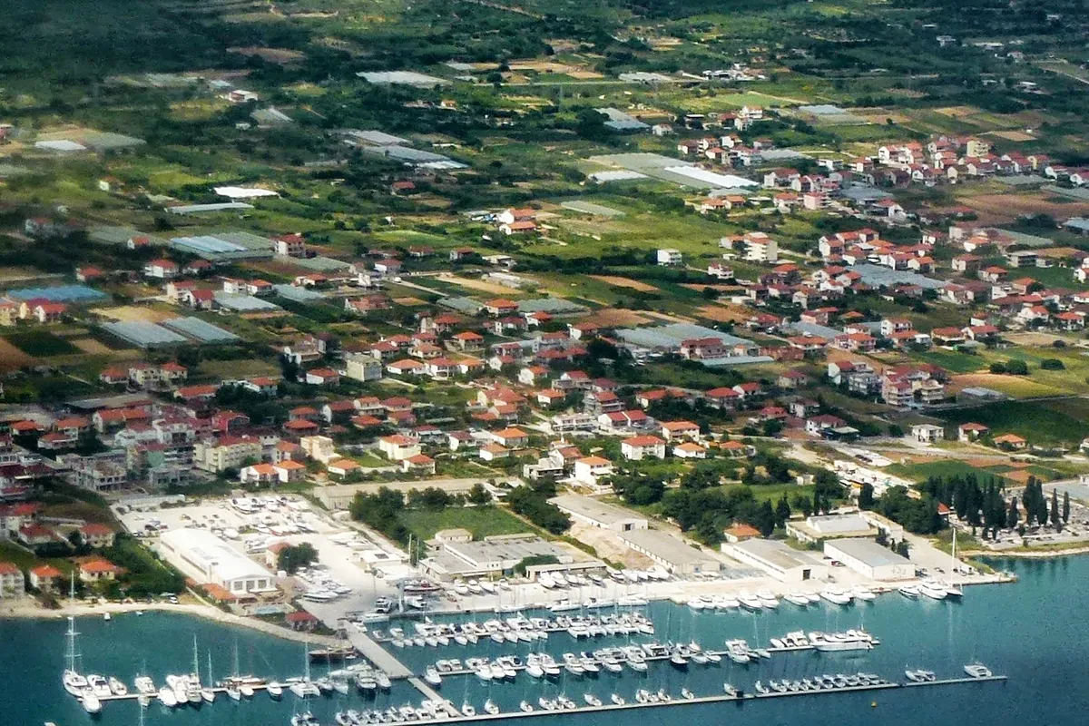
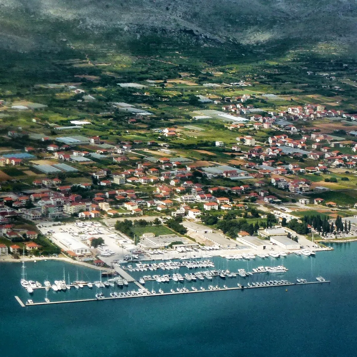
Marina Baotić at Seget Donji from the air: long pontoons full of yachts off the shore, the boatyard behind them and the village among fieldsMarina Baotić, Seget DonjiMarina, with fuel€95 a day, 12 m boat, plus power and water (From the operator, )VHF channel 17 (From the operator, )
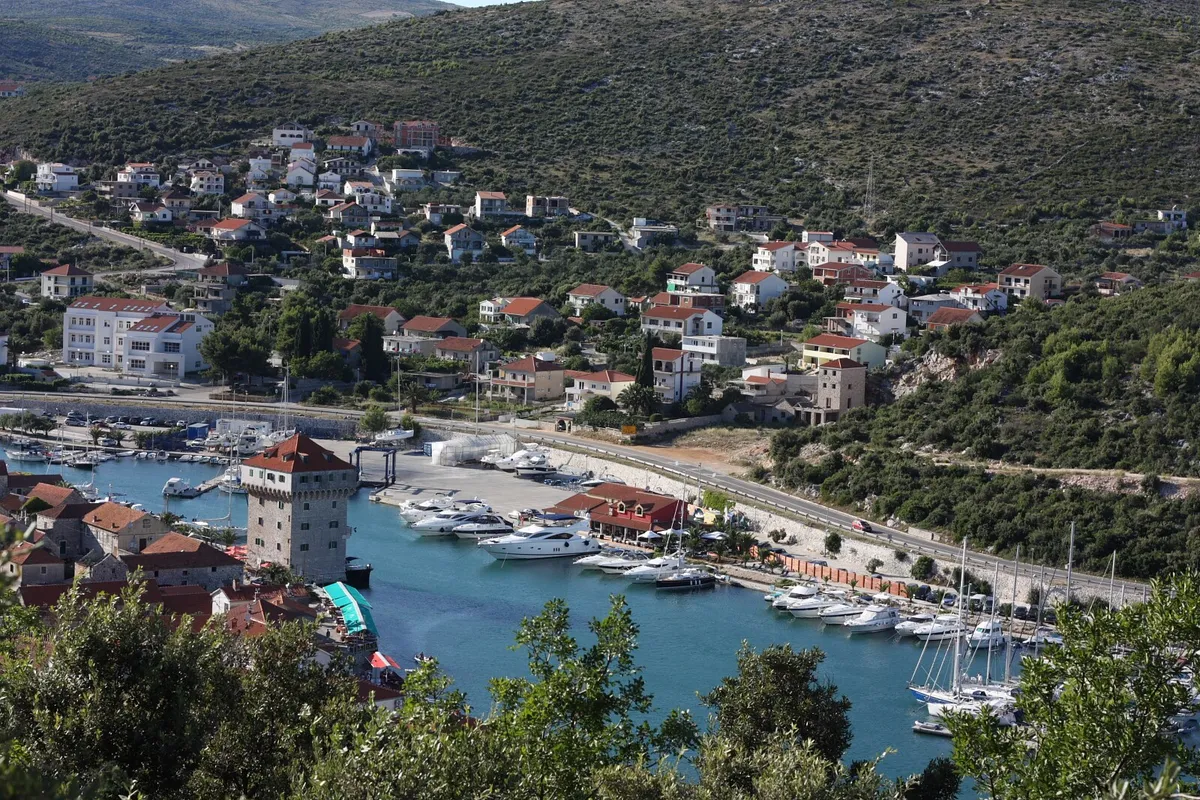
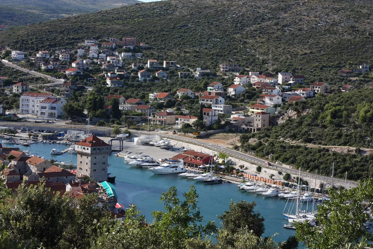
Marina Agana in Marina, west of Trogir, from the hill above: motor yachts and sailing yachts on the pontoons along the bay, the old tower on the waterfront and houses on the hillsideMarina AganaMarina 134 berths (From the operator, )€90 a day in July, 12 m boat (From the operator, )VHF channel 17 (From the operator, )
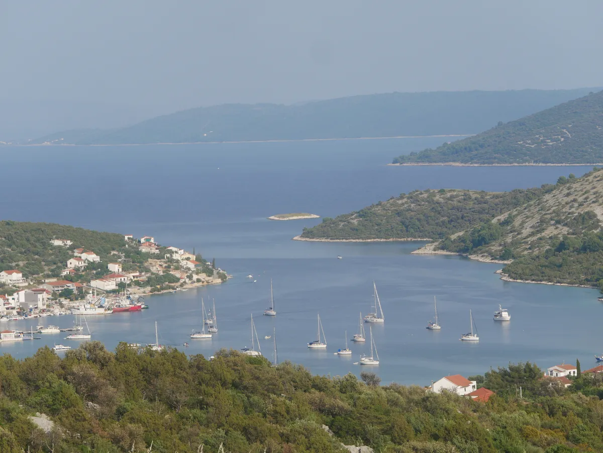
Vinišće bay seen from the hillside, with yachts at anchor, the village waterfront and wooded headlands around the inletVinišće bayCounty port, class III: an anchorage€10 a night at anchor, 10 m boat (Official source, )Not listed yet (Official source, )

In a county port, You pay the port authority's attendant in the port, in cash or by card, and get an invoice. (Official source, )

The channel, the current and the bridges

Come and go from the west. Two checked sources disagree on whether the bridges open, so don't plan on it. The old town sits on a small island between the mainland and Čiovo, and the channel on its south side runs past both marinas with a strong current.

The current
A strong westerly current often makes steering hard. Slow down after the bridge, so your wash doesn't damage the moored boats. (Official source, )
The bridges
Sources disagreeon the bridges east of the marinas

Our answer: Don't plan on a bridge opening. Come in from the west, past Cape Čubrijan, and from Kaštela bay go round Čiovo. (Sources disagree, )

A movable bridge crosses the narrowest part of the channel, with a 25 m opening. A second movable bridge, mainland to Čiovo, lies 0.6 NM east, 25 m wide and 4.8 m high. The bridges open on request: Hydrographic Institute of the Republic of Croatia: Notices to Mariners 4/2021, correction 27 (Official source, )

The bridge from the old town to Čiovo doesn't open, and takes boats up to 2.6 m high. ACI's approach notes give it 2.8 m clearance, with 4.5 m of water under it: ACI Marina Trogir: its page on aci-marinas.com (From the operator, )

Under the bridge
Since 2023 a day mark shows the best passage under the bridge, with white isophase lights on both sides at night. (Official source, )
Depth
The Trogir channel takes boats with up to 4 m draught. (Official source, )The channel north of the old town is only 2 m deep, so don't sail there. (From the operator, )
Speed
Within 300 m of the shore, in narrow channels and near harbours and anchorages, go no faster than 8 knots (Article 50). (Official source, )
The office
The harbourmaster's office is on the Riva at Obala bana Berislavića 19, phone +385 21 881 508, weekdays 8 am to 1 pm. (Official source, )
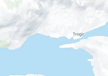
Map: the old town between the mainland and Čiovo, with the old bridge, the east bridge and the marinas

The old bridge by the old town, the east bridge beyond it, and the marinas at the west mouth of the channel. Not for navigation.

Getting there, and changeover day

The airport is 6 km away, so Trogir is the quickest start of any Split-area base. Each charter company sets its own times. How the charter bases compare

The airport
Split Airport is in Kaštela, 6 km from Trogir and 20 km from Split. Taxis wait near the main terminal during the airport's opening hours. (From the operator, )
City bus 37
City bus 37 runs between Split and Trogir by way of the airport. A ticket from Split to Trogir costs €2.50 in the app or online, or €5 from the driver. (From the operator, )
At Agana
Sunsail, at Marina Agana near Trogir: board at 6 pm and sail the next morning. On the last day be back by 5 pm, and leave the boat at 9 am. (From the operator, )The Moorings, also at Marina Agana: board at 3 pm. Be back by 6 pm the night before you leave, and off the boat at 9 am. (From the operator, )
At Baotić
Ultra Sailing, at ACI Marina Split and Marina Baotić: check in on Saturday at 5 pm. Be back by 6 pm the evening before the last day, and leave the boat by 8.30 am on Saturday. One-way charters check out on Friday at 3 pm. (From the operator, )Dream Yacht Charter, at Marina Baotić in Seget Donji near Trogir: boarding from 5 pm to 7 pm. Boats must be back in the marina by 5 pm the day before check-out, and spend the last night there. Charters run Saturday to Saturday. (From the operator, )
Before you sail
The charter company registers everyone aboard in the Ministry's eCrew system, at the latest when the boat leaves. (Official source, )

For a first week that starts here: An easy first week from Trogir.

Map: the airport between Trogir and Kaštela, with the marinas of Trogir bay

The airport, Trogir and the marinas of Trogir bay. Not for navigation.

Food shopping before you sail

Each charter marina in Trogir bay lists a food shop on site. Check which marina your charter uses, and ask your base about opening times and any delivery arrangements.

ACI Marina Trogir
A grocery store. (From the operator, )
Marina Baotić
A supermarket. (From the operator, )
SCT Marina Trogir
A grocery. (From the operator, )

For the rest of your week: preparing for the shorter route from Trogir. How to reserve your overnight stops: booking a berth, and when to arrive.

Marina Baotić at Seget Donji from the air: long pontoons full of yachts off the shore, the boatyard behind them and the village among fields

Marina Baotić in Seget Donji, one of the charter marinas of Trogir bay, with its supermarket.

Wind and sea, next 3 days

For Trogir.

Model forecast from Open-Meteo.Not an official forecast. Not for navigation.

Official forecast: DHMZ marine forecast (Official source, )

How to read this forecast

Each part of the day shows its strongest hourly wind and gust, and its highest wave, in Croatian time. The words follow the Beaufort scale, and the model can't tell a real bura from any other northeast wind. How to read a model forecast

Weather data by Open-Meteo.com, CC BY 4.0. Grouped into parts of the day by OlaSail.

Split, Trogir, Šolta, Brač and Vis all lie in the Middle Adriatic area of the DHMZ marine forecast. (Official source, )

Swim stops near Trogir

Two stops for a first afternoon or a last morning before the base. Leave early for the lagoon: the day boats come later.

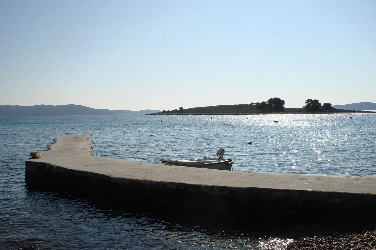
The islet of Veli Krknjaš seen across the calm water of the Blue Lagoon from a small pier at Krknjaši, with a dinghy tied alongsidePhoto: “Veli Krknjaš - panoramio” by bruno.kostovic, CC BY 3.0, cropped and resized

The Blue Lagoon, Drvenik Veli

Shallow turquoise water between Drvenik Veli and the islet of Krknjaš, 7 NM from Trogir (Measured by us, ). The Blue Lagoon on Drvenik: how to stop and the rules

How to stop
Drvenik Veli is joined to the Krknjaš islets by an underwater reef, so there is no way through to the north. The passage between Drvenik Veli and Krknjaš Veli is not navigable, and the gap between the two islets is shallow over rock. (Official source, )Anchor in the middle of the bay between Drvenik Veli and Krknjaš Veli, on sand with patches of seagrass. The county's buoy field runs along Krknjaš Veli's west shore, in up to 20 m. Keep clear of the marked cable towards Šolta. The passages from Drvenik Veli to Krknjaš Veli and to Krknjaš Mali aren't navigable, and between the two Krknjaš islets it is shallow over a reef. (Official source, )
Busy
The bay is a favourite anchorage and swimming spot, and tour boats over 20 m anchor there often in season. (Official source, )
Rules it out
Leave if a bura, a jugo or any southerly is forecast. The county's 2019 study calls Krknjaši open to the bura, which can make the sea rough, while its 2024 anchorage plan calls it suitable in a bura and westerly winds; both say southerly and south-easterly winds raise waves. The tidal current runs at up to 0.3 knots, and up to 1.2 knots in a storm bura or jugo. (Sources disagree, )Open to the bura, which can make the sea rough. (Official source, )Krknjaši is open to winds from the south-east round through the south-west. Our cautious answer: leave before a southerly or a lebić. Our skipper reviewer hasn't checked this yet. (Third-party source, )

Okrug Gornji, on Čiovo

The long beach on the west side of Čiovo, the quickest swim from the Trogir marinas. 2 NM away (Measured by us, ).

How to stop
The shore off Toće beach is shallow, and the pilot recommends Racetinovac cove for smaller boats. Our cautious answer: approach the beach slowly, watch the depth, and stay well outside the swimming lines. Our skipper reviewer hasn't checked this yet. (Third-party source, )
The rules
No anchoring within 150 m of a natural beach, under the 2025 ordinance. (Official source, )
Rules it out
The bay off Okrug Gornji is open to westerly and north-westerly winds. Our cautious answer: come in the morning, and leave when the maestral builds. Our skipper reviewer hasn't checked this yet. (Third-party source, )

Our route from Trogir

An easy first week from Trogir starts here: short hops between sheltered harbours on Drvenik Veli, Šolta, Brač and in Split, with no open-sea crossing.

An easy first week from Trogir on a mapSTrogir1Drvenik Veli2Maslinica3Milna4Bobovišća56NečujamAn easy first week from Trogir on a mapSTrogir1Drvenik Veli2Maslinica3Milna4Bobovišća5Split6NečujamAn easy first week from Trogir on a mapSTrogir1Drvenik Veli2Maslinica3Milna4Bobovišća5Split6NečujamAn easy first week from Trogir on a mapSTrogir1Drvenik Veli2Maslinica3Milna4Bobovišća5Split6Nečujam
Not for navigation

Don't miss near Trogir

Trogir old town seen from a boat in the channel, with the cathedral and church towers, yachts and a gulet along the Riva.Photo: “Trogir panorama města z lodi 1” by VitVit, CC BY-SA 4.0, cropped and resized

The old town

A walled town on its own small island, a UNESCO World Heritage site since 1997. The cathedral of St Lawrence and its carved portal are a five-minute walk from the Riva.

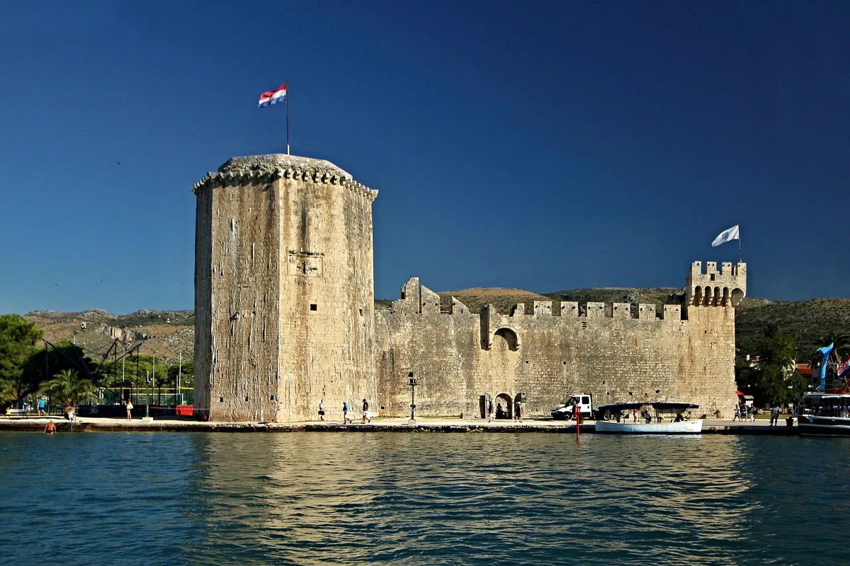
Kamerlengo fortress at the west end of the Trogir Riva, seen from the sea, with its tower and walls above the quayPhoto: “Trogir Kamerlengo z moře 1” by VitVit, CC BY-SA 4.0, cropped and resized

Kamerlengo fortress

The fortress at the west end of the Riva, opposite ACI Marina Trogir. Climb the walls for the view over the channel and the marinas.

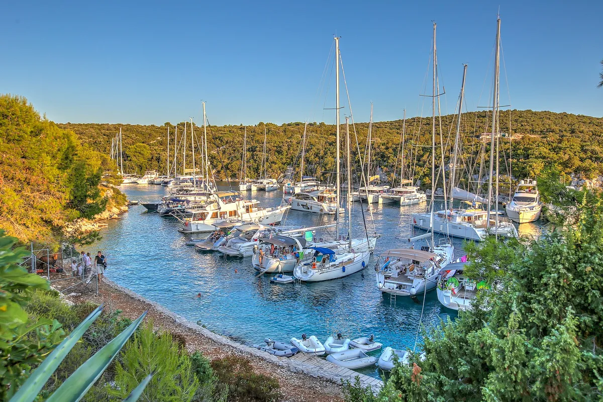
Yachts moored close together in the narrow Šešula bay beside Maslinica, late light

Šolta by boat, for the first night

Our Šolta page: Maslinica and Šešula on the west end, 9 NM from Trogir. (Measured by us, )

What sailors told us

From sailors after a night here. They tell us what to check next, and don't count in the checks above.

Marina Baotić, Seget Donji

On Saturday 23 Aug 2025 the base kept pushing back the time their boat would be ready until it was past 5 pm, so they left the next morning at 6. At check-out a diver checked the hull as part of the damage inspection.

A sailing couple and friends on a bareboat charter, late August 2025, in a sailing magazineSpinSheet: a first bareboat charter in Croatia, August 2025, the first and last days · By Bob Oppelt · Reported · Retold in our words · Account not independently verified

Trogir

Bringing a charter boat back to the marina in Trogir, one sailor saw the base empty the holding tanks to check the pipes for clogging.

A sailoru/NeedleworkerNo3429 on Reddit · Posted · Retold in our words · Account not independently verified · Read the reply

Help keep this page right

Sailed here this season? Tell us what you found. We check it with the source before anything changes.

Or confirm one fact: tap the small mark after it, then "Yes, I saw it".

Other ways to help

Photos on this page

  • Trogir's Riva from the Kamerlengo fortress, with palms, excursion boats and yachts along the quay and the Čiovo bridge behind.Trogir, the Riva from the Kamerlengo fortress. Photo: “Trogir Panorama 01” by Helmlechner, CC0, cropped and resized
  • The Trogir channel from the Kamerlengo fortress, with a yacht on the Riva quay, water taxis crossing and the marina pontoons on the Čiovo shore where ACI Marina Trogir lies.Trogir, the channel between the old town and Čiovo. Photo: “Trogir” by Nick Savchenko from Kiev, Ukraine, CC BY-SA 2.0, resized
  • Trogir old town seen from a boat in the channel, with the cathedral and church towers, yachts and a gulet along the Riva.Trogir, the old town from the channel. Photo: “Trogir panorama města z lodi 1” by VitVit, CC BY-SA 4.0, cropped and resized
  • ACI Marina Trogir on the Čiovo shore seen across the channel from the Trogir Riva, yachts and motor boats along the pontoons, the bow of a moored tall ship at the rightACI Marina Trogir, Čiovo shore of the Trogir channel. Photo: “Trogir marina 053” by Ante Perkovic, CC BY 3.0, cropped and resized
  • The old town waterfront of Trogir seen from the water, with small motorboats tied along the quay and turquoise water in front.Trogir, the old town waterfront (Riva). Photo: “Port of Trogir” by Dudva, CC0, cropped and resized
  • Marina Baotić at Seget Donji from the air: long pontoons full of yachts off the shore, the boatyard behind them and the village among fieldsMarina Baotić, Seget Donji, west of Trogir. Photo: “Yachtclub Seget, Croatia - panoramio” by Николай Максимович, CC BY 3.0, cropped and resized
  • Marina Agana in Marina, west of Trogir, from the hill above: motor yachts and sailing yachts on the pontoons along the bay, the old tower on the waterfront and houses on the hillsideMarina Agana, Marina, west of Trogir. Photo: “Marina - Flickr - jns001 (2)” by János Tamás, CC BY 2.0, cropped and resized
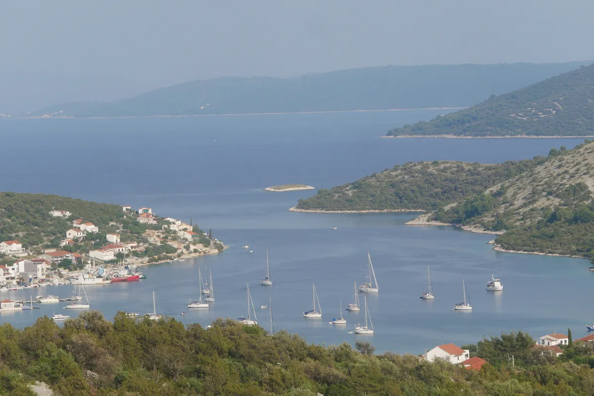
  • Vinišće bay seen from the hillside, with yachts at anchor, the village waterfront and wooded headlands around the inletVinišće bay, near Trogir. Photo: “View-of-Vinisce” by Zvone00, CC BY-SA 4.0, cropped and resized
Show all 13 photo creditsShow fewer photo credits
  • The islet of Veli Krknjaš seen across the calm water of the Blue Lagoon from a small pier at Krknjaši, with a dinghy tied alongsideThe Blue Lagoon (Krknjaši), between Drvenik Veli and Veli Krknjaš. Photo: “Veli Krknjaš - panoramio” by bruno.kostovic, CC BY 3.0, cropped and resized
  • Kamerlengo fortress at the west end of the Trogir Riva, seen from the sea, with its tower and walls above the quayTrogir, Kamerlengo fortress. Photo: “Trogir Kamerlengo z moře 1” by VitVit, CC BY-SA 4.0, cropped and resized
  • Yachts moored close together in the narrow Šešula bay beside Maslinica, late lightUvala Šešula, next to Maslinica, island of Šolta. Photo: “Šolta Maslinica Hrvatska Uvala Šešula 2019 08a” by Joadl, CC BY-SA 3.0 AT, cropped and resized
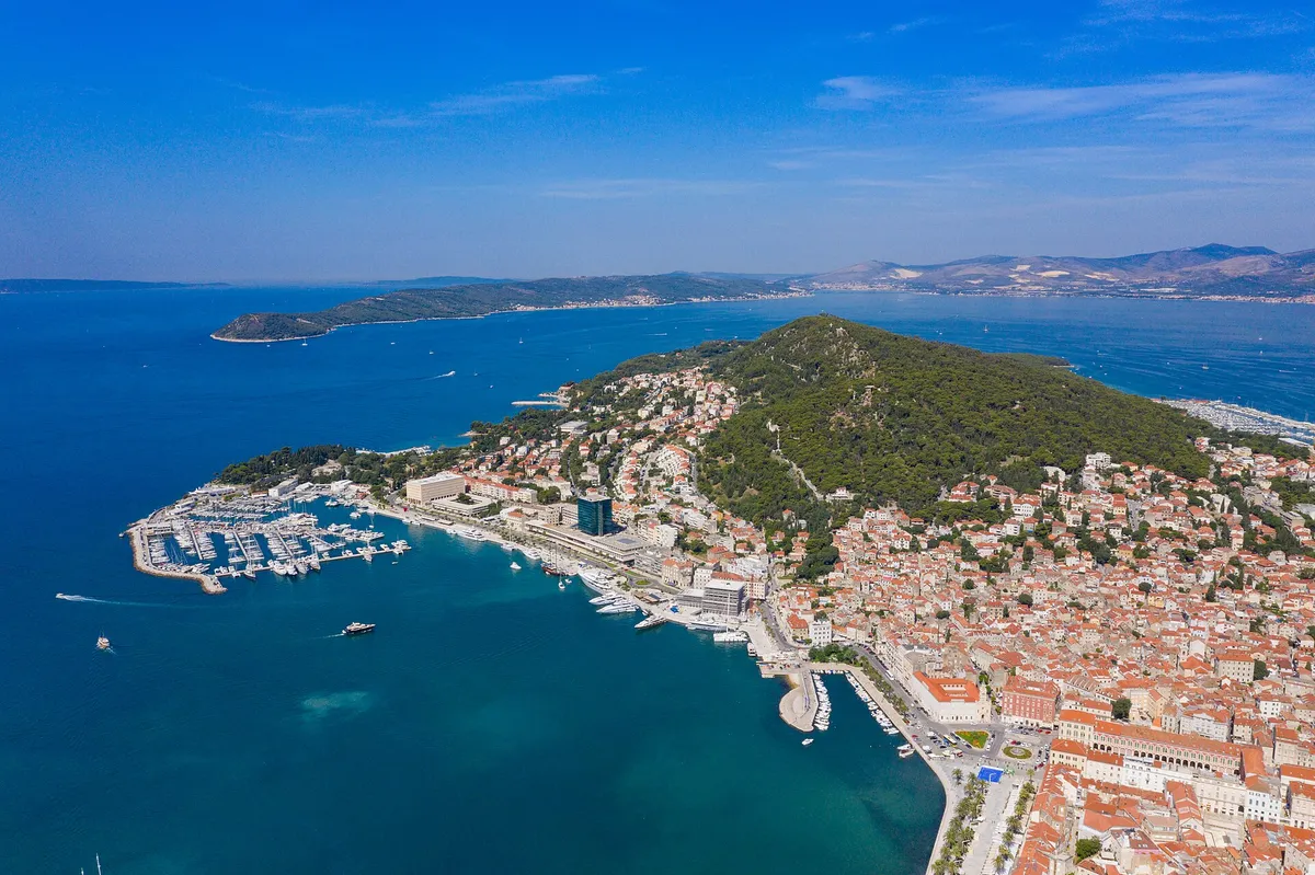
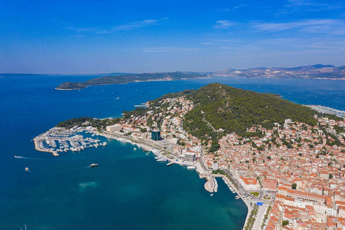
  • Aerial of Split with ACI Marina Split, Marjan hill, the Riva and the islands beyondSplit. Photo: “Aerial view of Marina Split in Croatia” by dronepicr, CC BY 2.0, cropped and resized
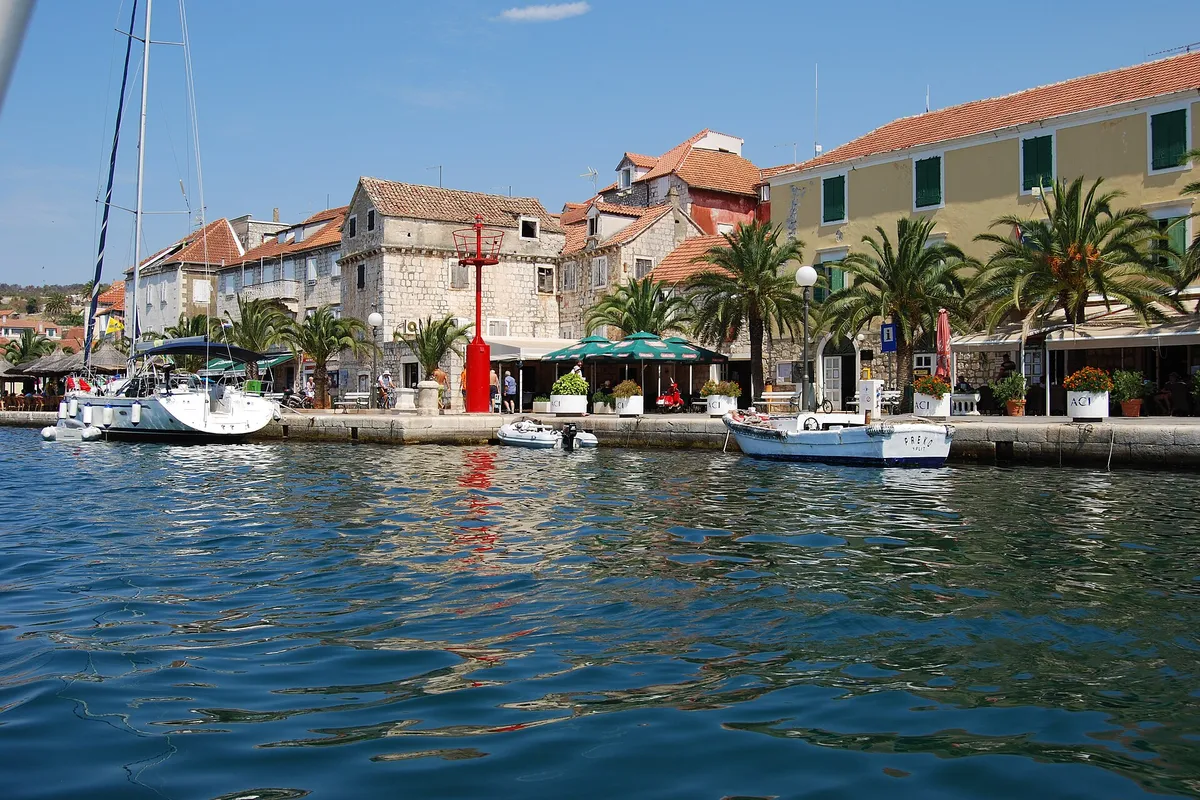
  • Milna waterfront seen from the water, stone houses, palms and yachts moored on the quayMilna, island of Brač. Photo: “Milna, kikötő - panoramio” by Sztudva Gyöngyi, CC BY-SA 3.0, cropped and resized

Nearby